January 8, 2026 |
Patricia Cummens
| Urban Planning
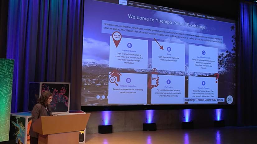
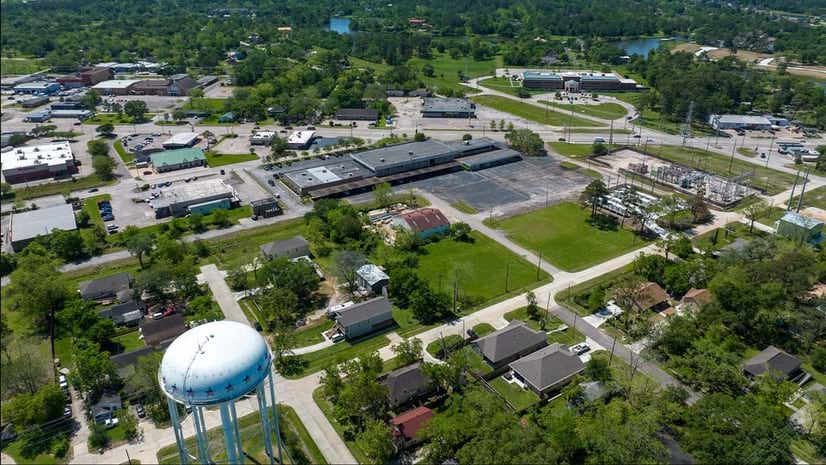
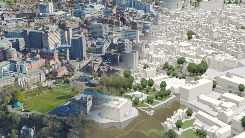
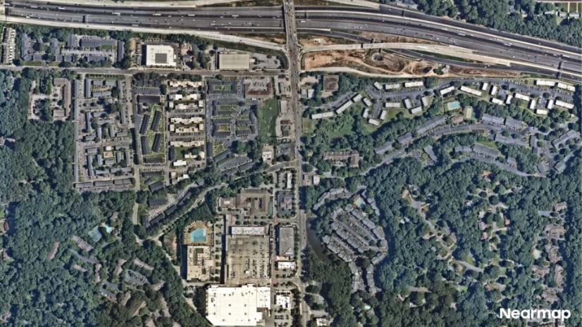
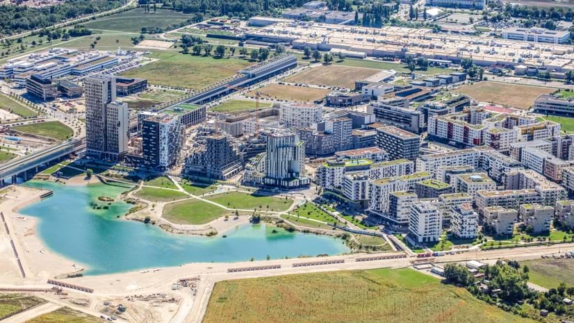
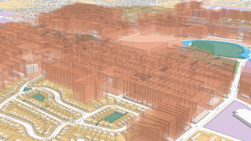
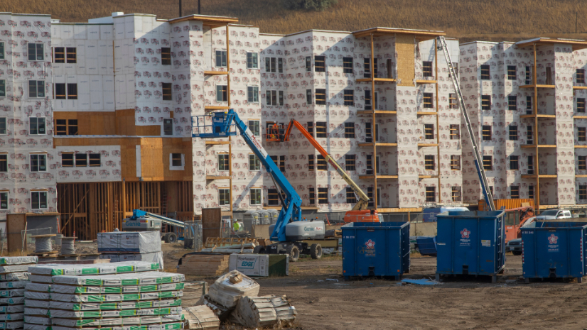
City planners use GIS to make communities more livable; optimize green space; address affordable housing needs; improve mobility with better engineered roads, transit and active transportation; and power smart cities with real-time monitoring and data-driven decisions.

March 17, 2026 |
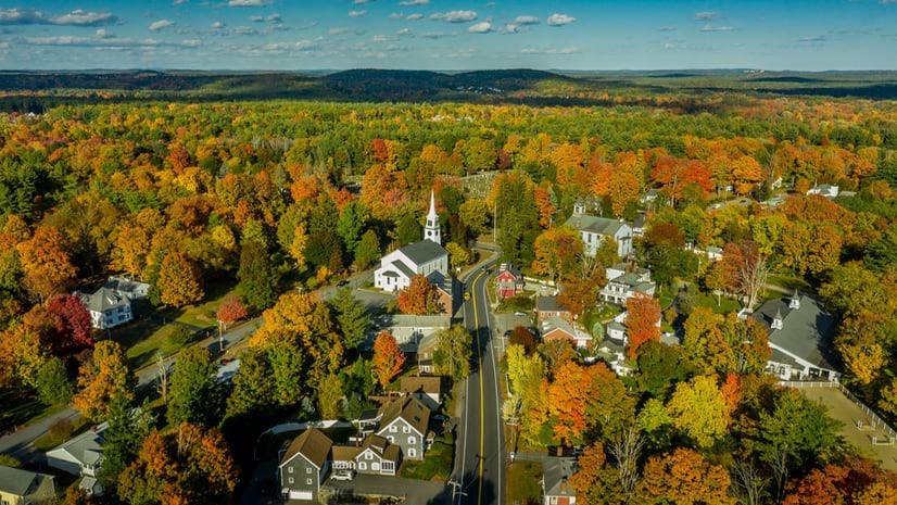
Cities use GIS to preserve green spaces while enhancing livability and sustainability through data-driven urban planning and park development.