displaying 294 results

For business executives intrigued by AI but confused about its risks and rewards, a primer on location intelligence offers critical context.
Artificial intelligence (AI) and GIS are intersecting, opening up massive opportunities that were never possible in the past.

The intersection of artificial intelligence and GIS is creating massive opportunities that are available in ArcGIS.
Executives have used basic forms of artificial intelligence to make better business decisions. Is greater insight just over the horizon?

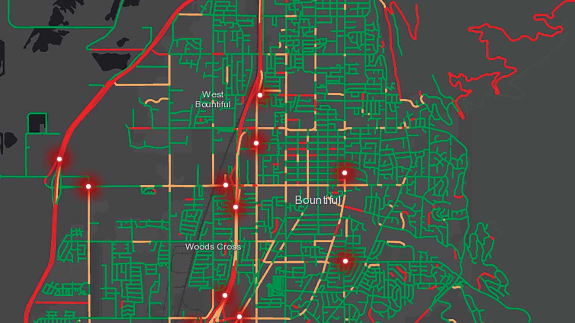
City staff now receive imagery of possible graffiti before they go out looking for it, helping them track and abate graffiti hot spots.
Geospatial artificial intelligence fuses AI with geospatial data, science, and technology to speed up workflows and solve spatial problems.

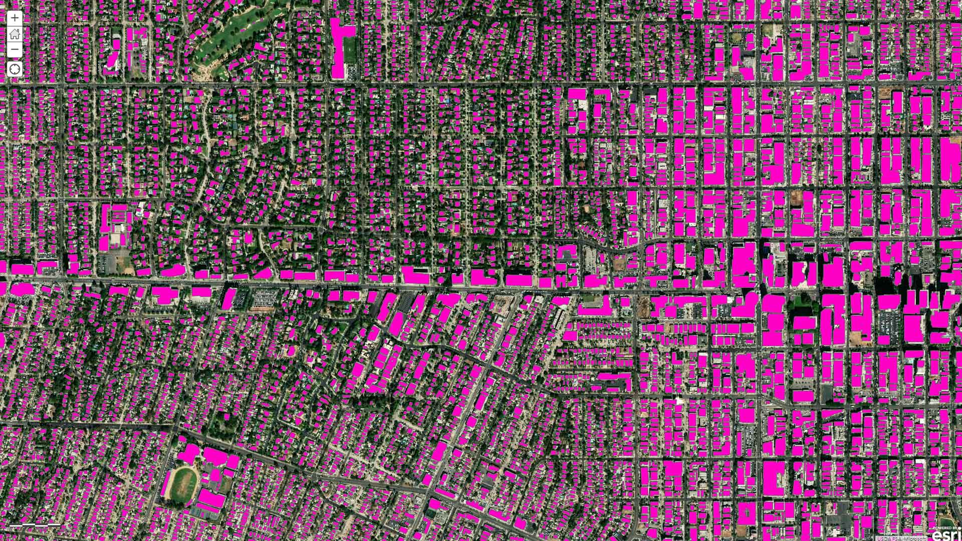
Deep learning helps keep the Kuwait base map up-to-date and complete to provide accurate information in a rapidly developing country.

Kuwait has been on the cutting edge of geospatial technology for decades, and now it is blazing trails in machine learning.

University of Pittsburgh faculty use Esri resources to teach GIS skills.
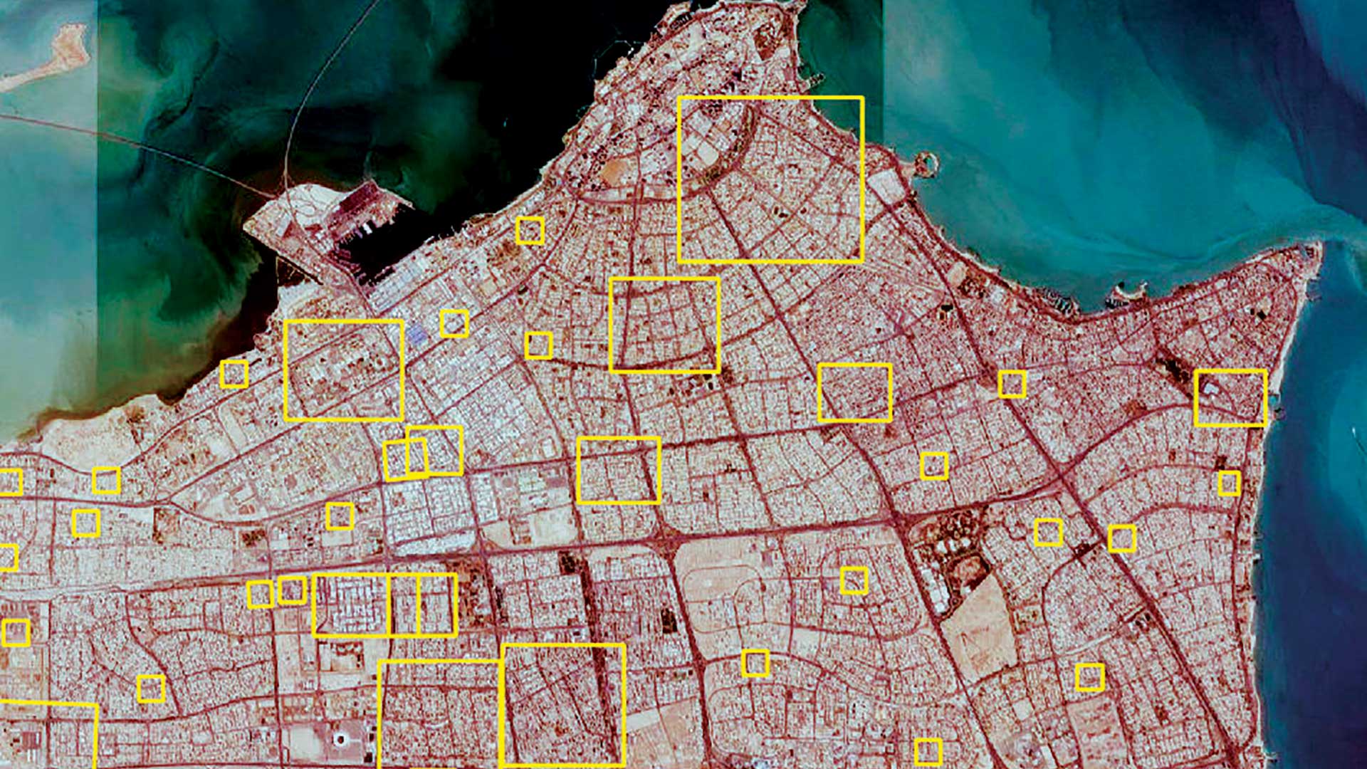
Kuwait, an early adopter of GIS, is now blazing trails in machine learning.

In Queensland, Australia, a computer vision model was trained to automatically classify different types of land use.
Esri’s continued advancements parallel and distributed computing make solving problems with machine learning and GIS increasingly possible.