displaying 4463 results

ArcGIS StoryMaps now has additional typefaces. Learn how to make more intelligent type choices.
The world has run up against the hard truth that the world is a very interconnected place. Table of contents for this issue.

If you use the ArcGIS API for JavaScript with a 3rd party frameworks or create custom builds of the API, this process just got easier.
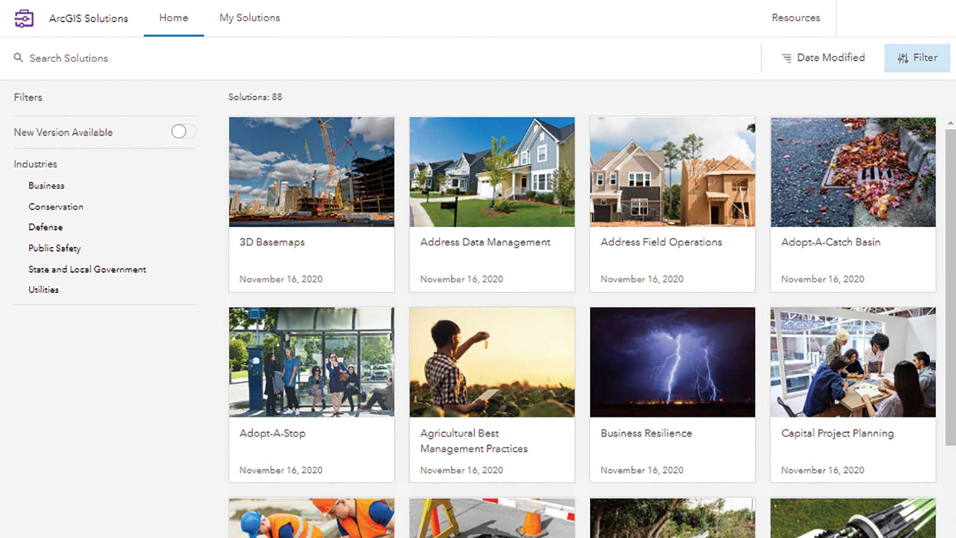
Esri added a new way to quickly deploy ArcGIS Solutions to your organization—the ArcGIS Solutions app.
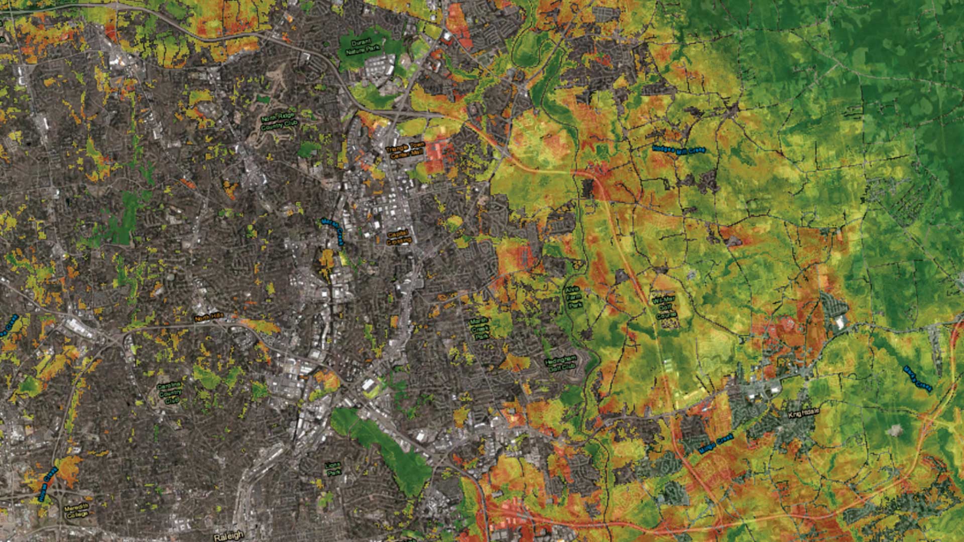
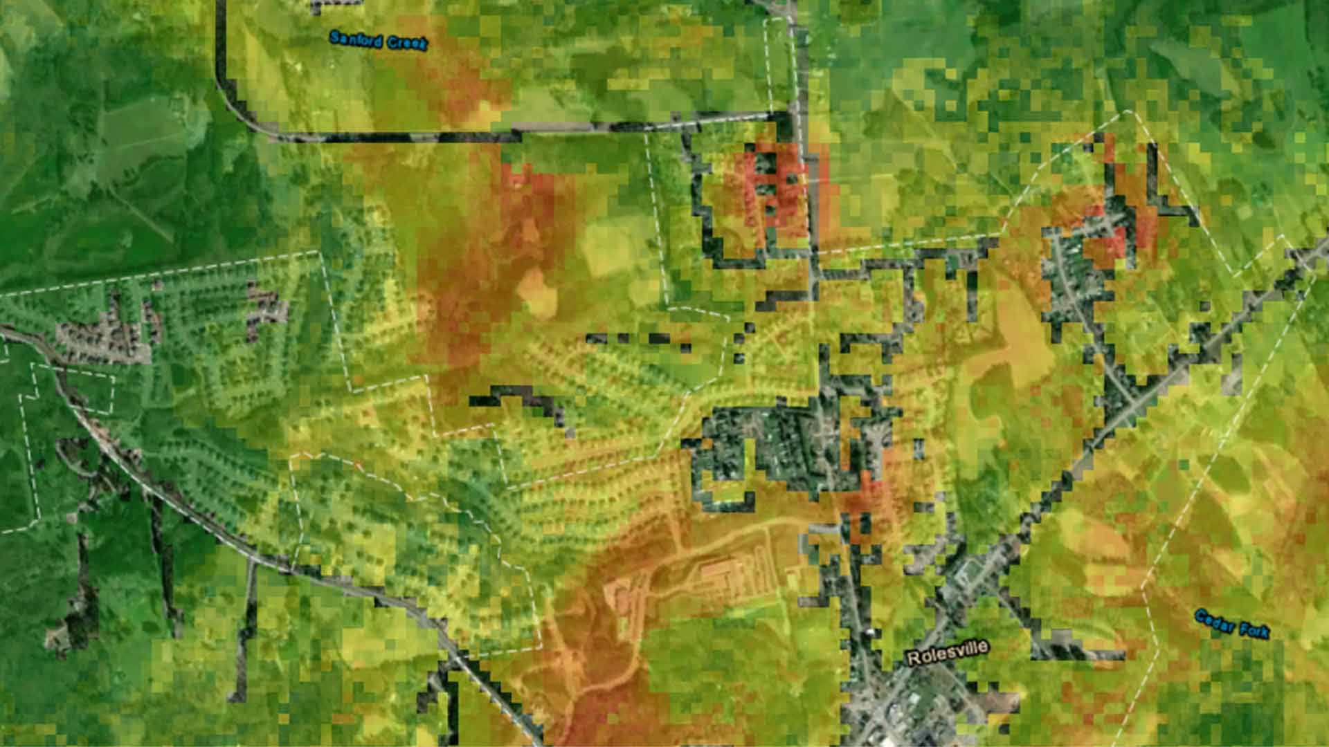
An urban growth prediction model empowers city planners and other to make informed urban policy decisions.

The real-time data sharing, analysis, visualization, and planning capabilities will be key to equitable and speedy vaccine distribution.

A Wisconsin county used GIS to identify and educate citizens to recycle correctly.

ArcGIS Runtime SDKs 100.7 expands capabilities for utilities, defense, and public safety.
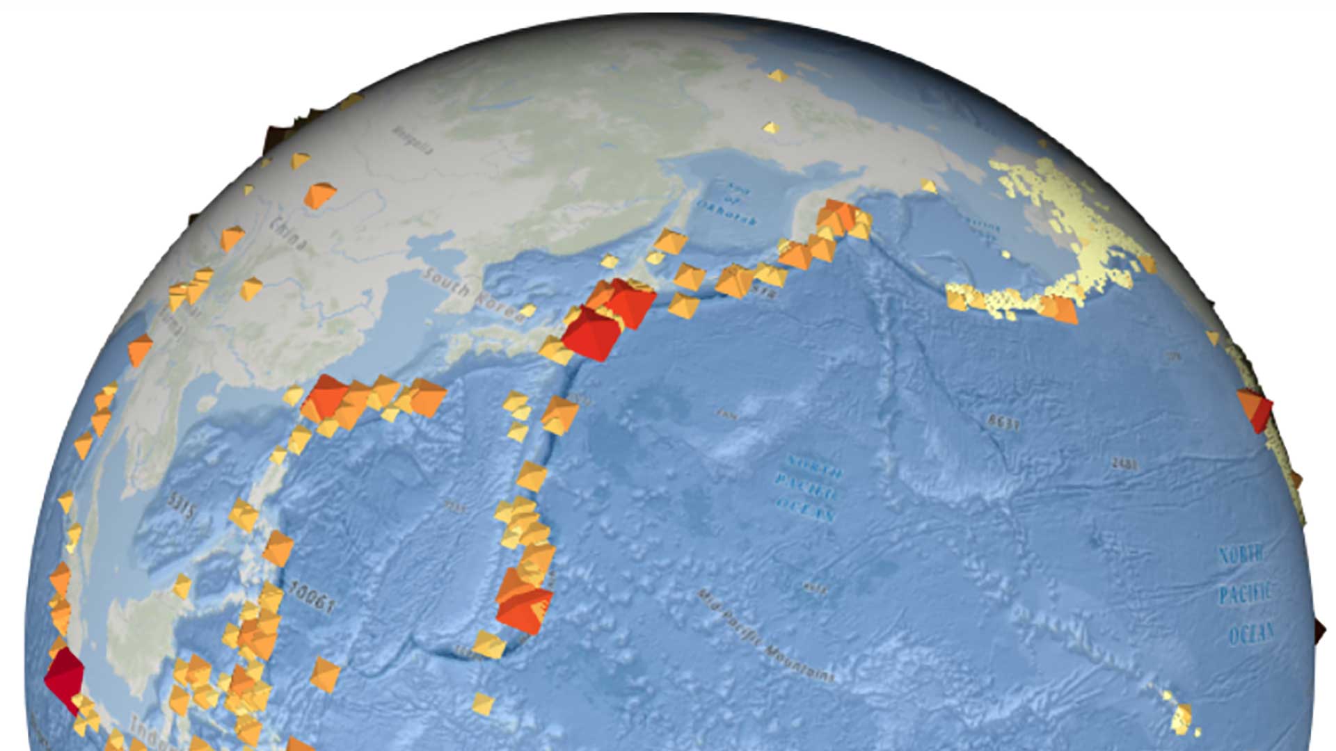
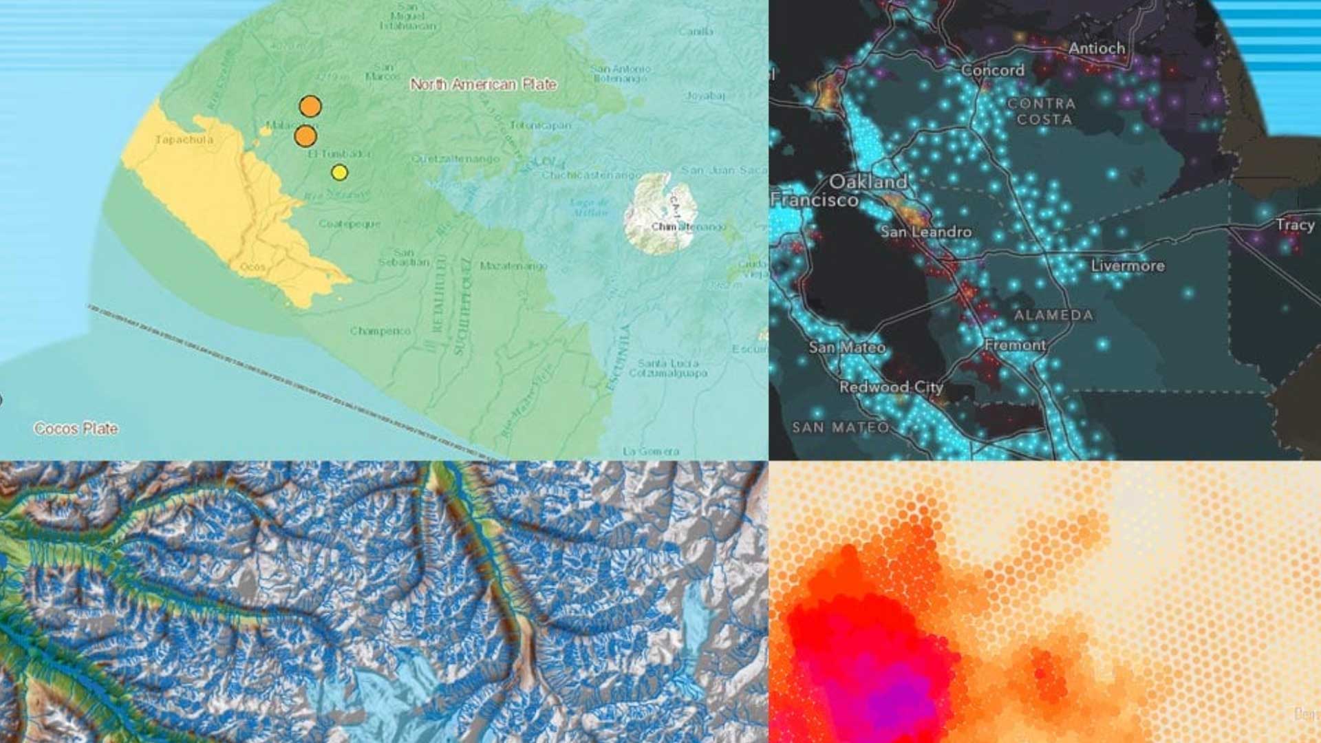
ArcGIS APIl for JavaScript app using the most current earthquake GeoJSON feed from the USGS.
These articles also show how a spatial perspective enabled by location technology can be transformative.
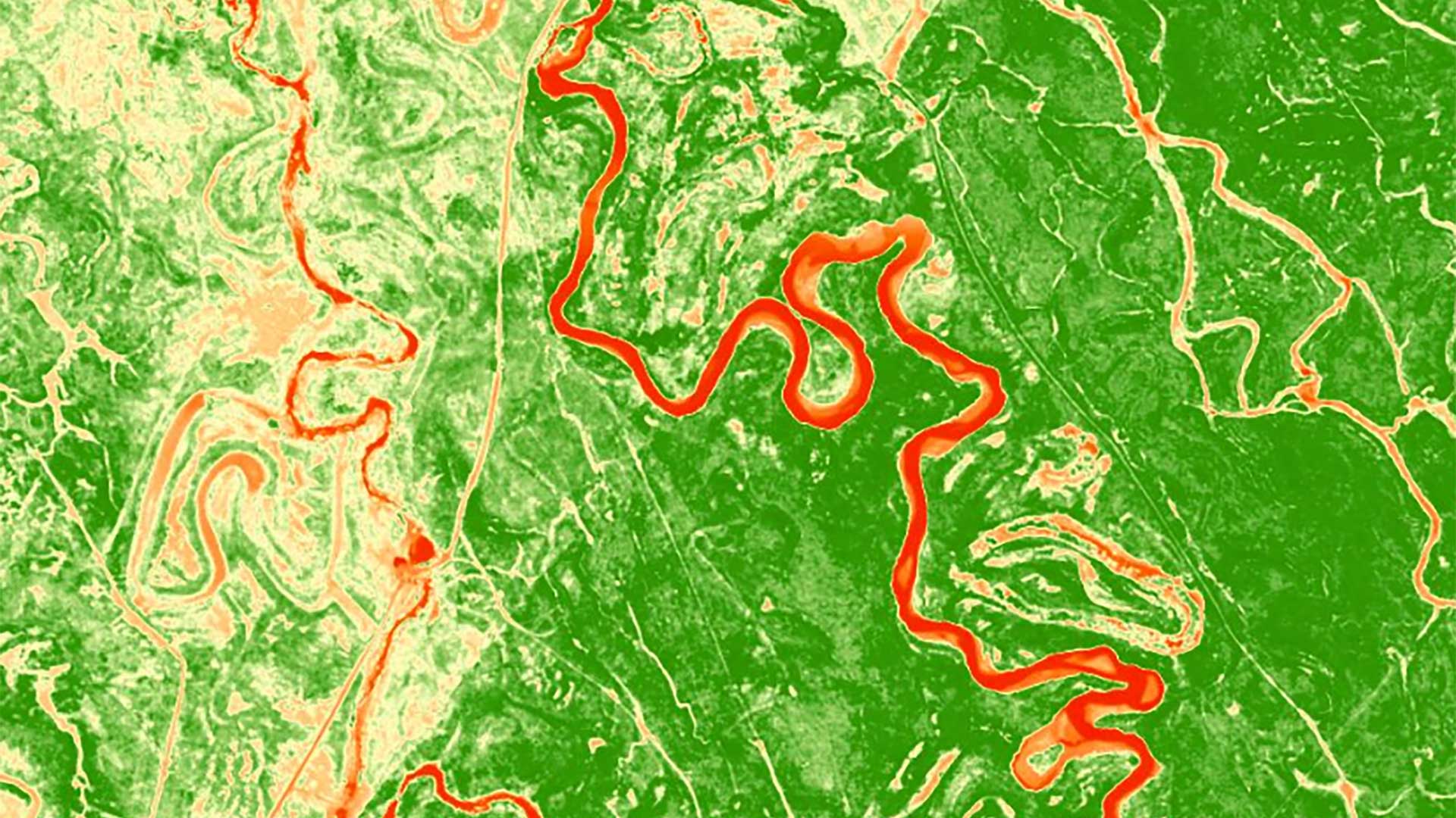
ArcGIS Spectral Index Library makes server-side processing much easier and more available for visualizing imagery.
The 2.3 release of ArcGIS Pro includes productivity, visualization, and machine learning features.