displaying 410 results
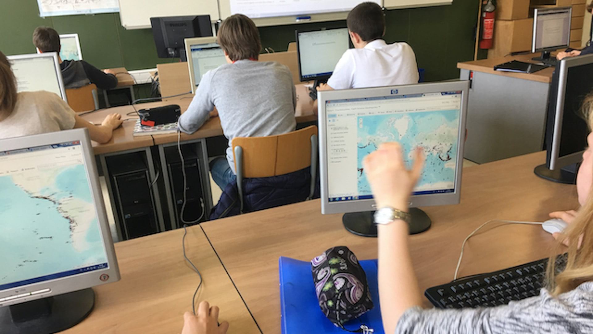
Educators have developed a phased spatial awareness curriculum that fits within existing lesson plans.
Chengeta Wildlife trains rangers to use field tools and spatial analysis to disrupt poaching and protect wildlife.

Texas Housers examines racial equity to deliver equitable housing in Houston.
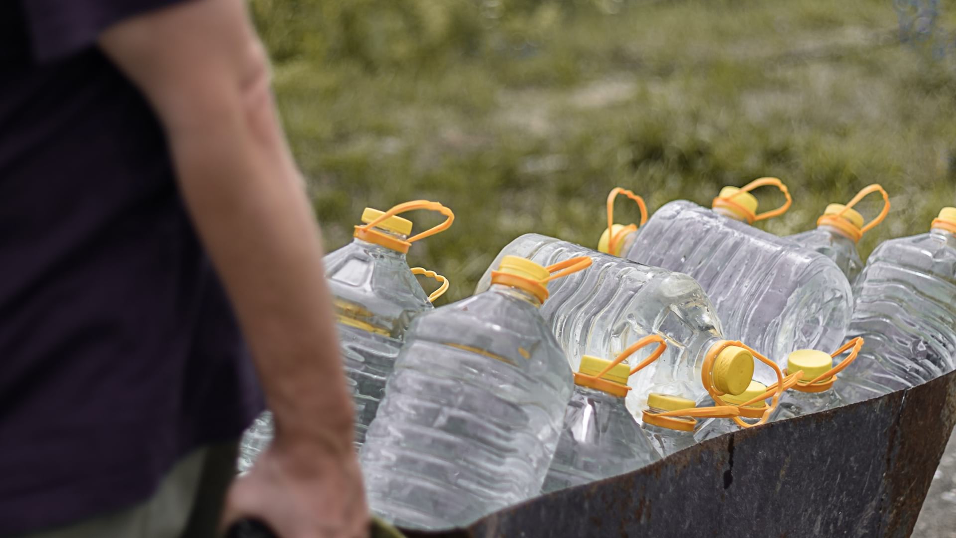
Tulare County, California, used GIS to understand who lives without drinkable water, addressing infrastructure inequities.
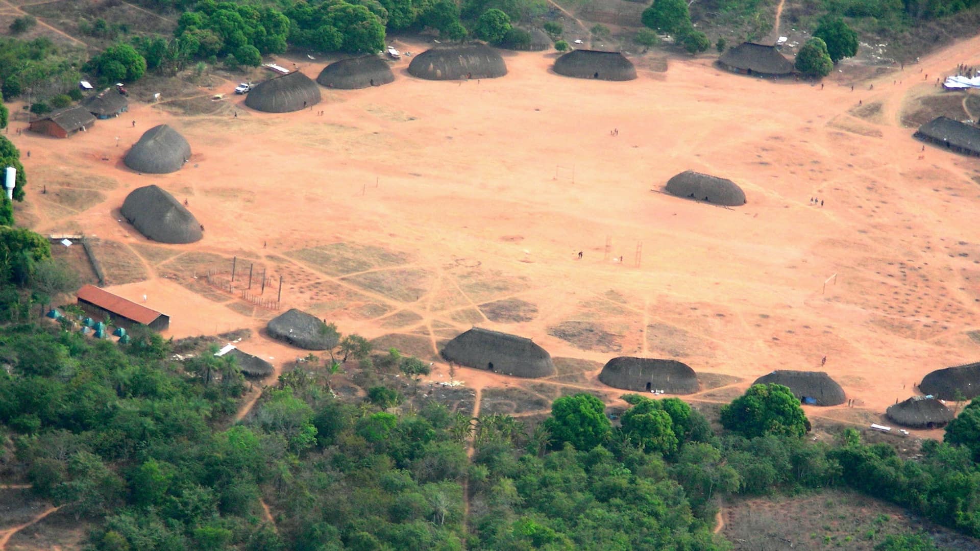
The Kuikuro tribe in Brazil’s Amazon rainforest turn from mapping their ancestors to using the same tools to protect themselves.

The Y takes a data-driven approach using spatial analytics to help each facility tailor programming to the makeup and interests of its members.
Geospatial technology improves economic, social, and environmental outcomes.
The Shell Ocean Discovery XPRIZE has ushered in a new era of autonomous seafloor mapping.
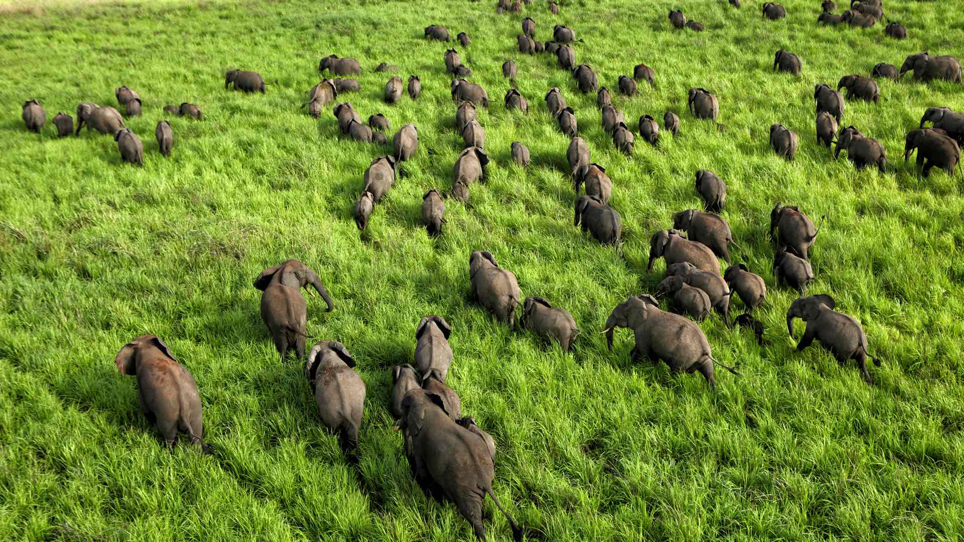
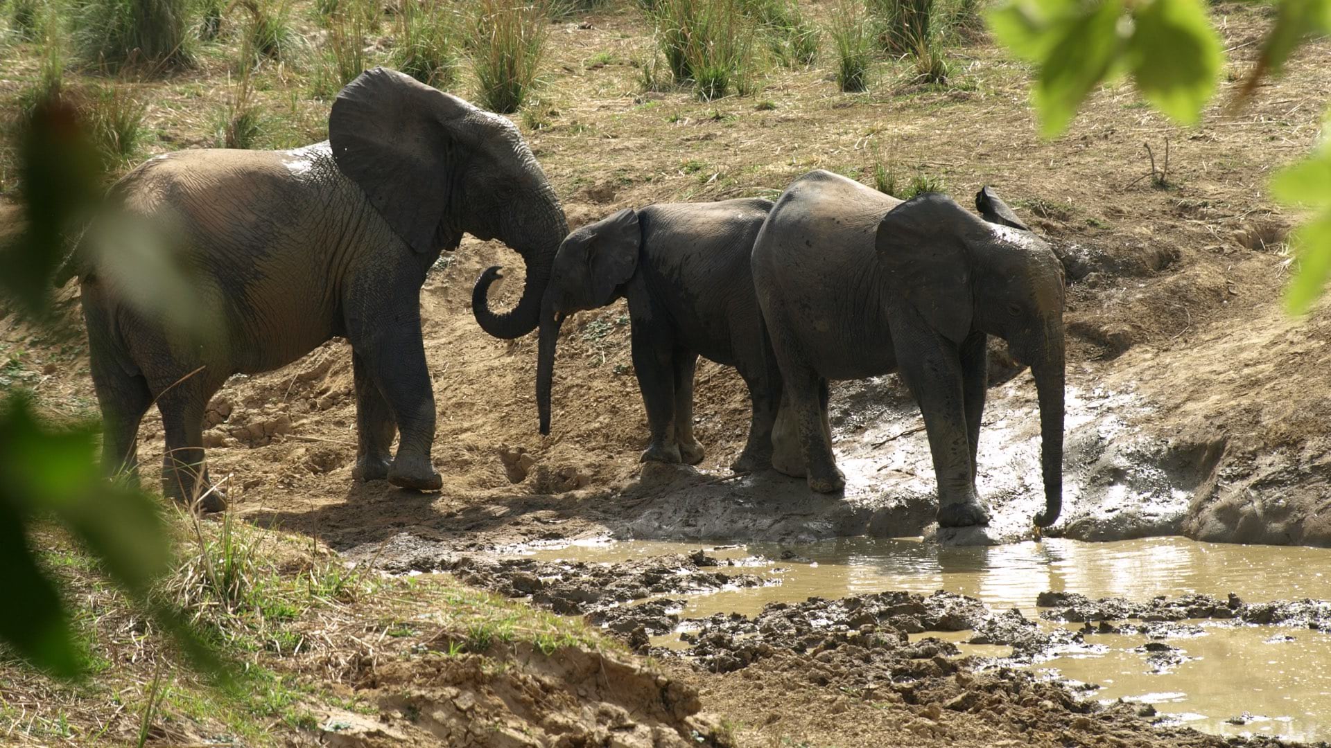
African Parks uses location intelligence to track wildlife and battle poachers, and in the process learns more about animal behavior.

Protect Our Winters uses GIS to research the economic impacts of low snow totals, using dollars and cents as a motivator in their outreach.
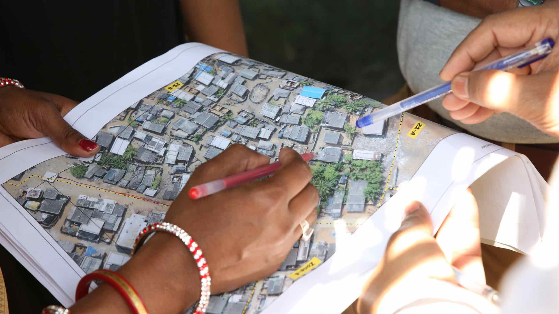
The Indian state of Odisha embarked on an ambitious program to map and record land in its slums and give title of that land to its citizens.

The city of New Bern, North Carolina used GIS to turn around their ownership of derelict properties—powering parcel mapping, planning, and sales.