displaying 559 results
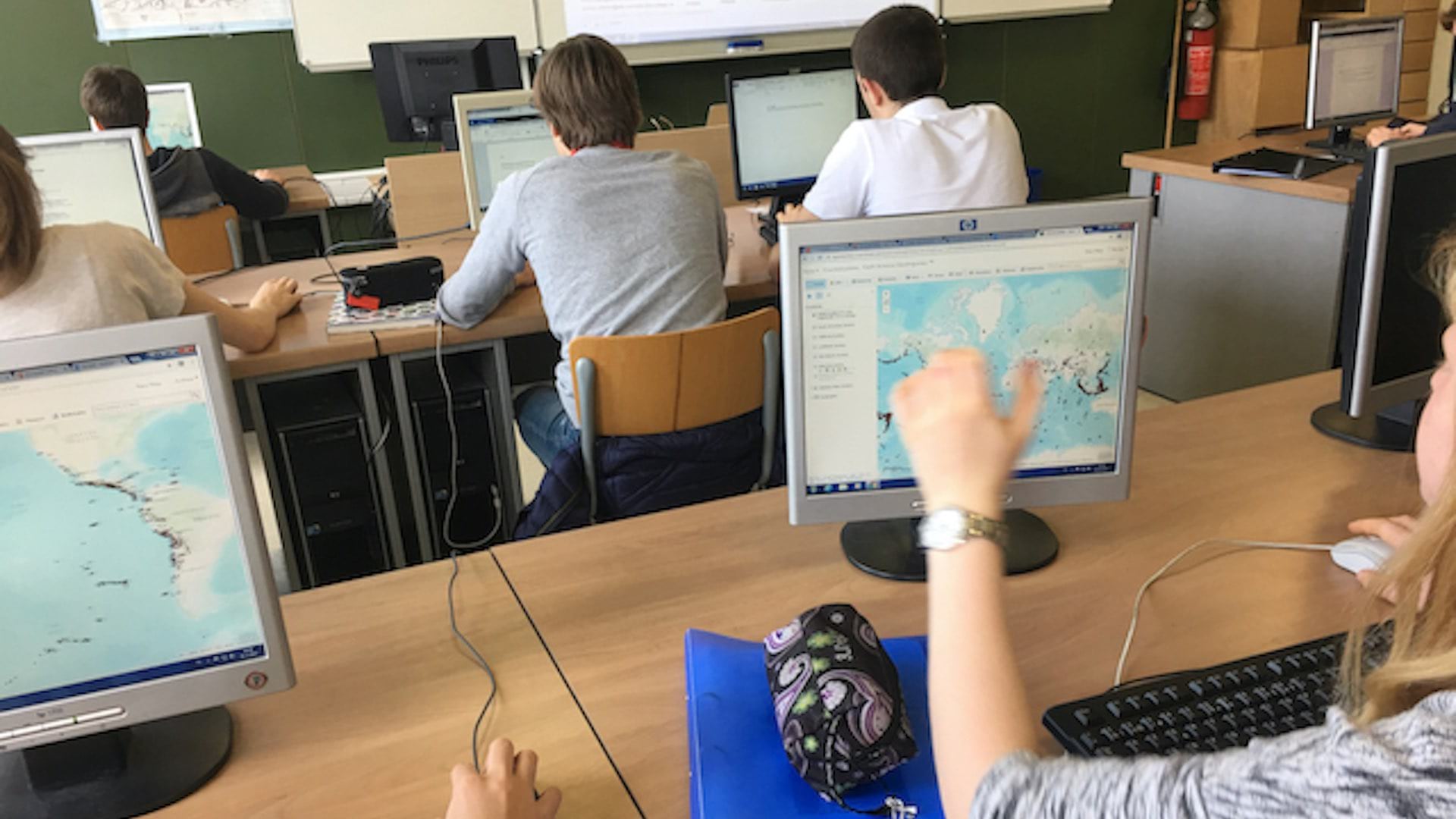
Educators have developed a phased spatial awareness curriculum that fits within existing lesson plans.
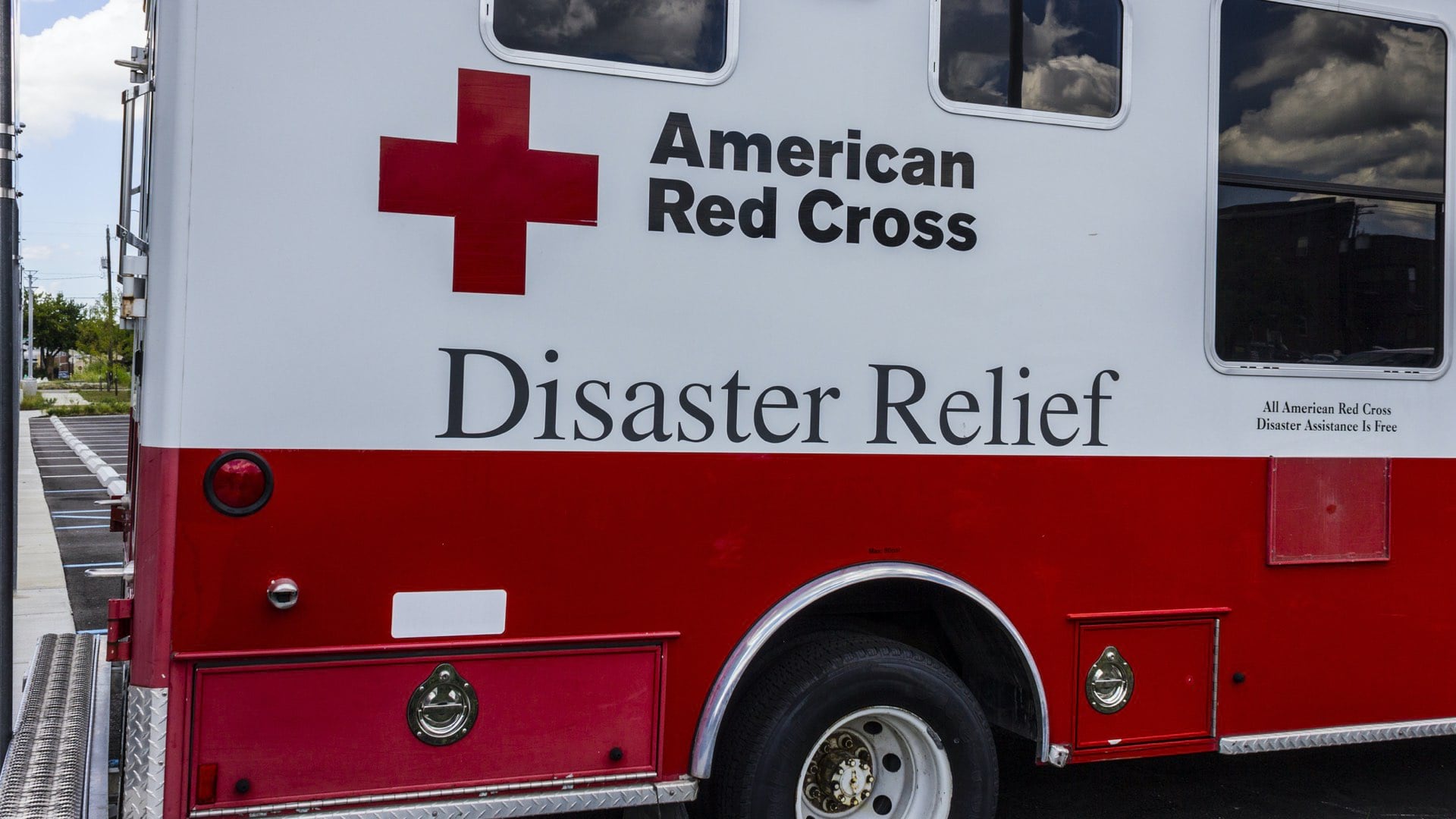
The American Red Cross shares tools with partners, applying location intelligence to see needs and coordinate actions.

In the old town district of Bratislava, Slovakia, a live map reduced wait times in the country’s push to test every adult over two weekends.

Black users of GIS share how geography provides a lens to address inequities, examine their unique perspectives, and take action.
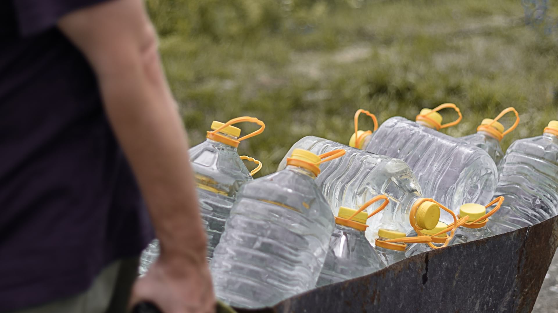
Tulare County, California, used GIS to understand who lives without drinkable water, addressing infrastructure inequities.
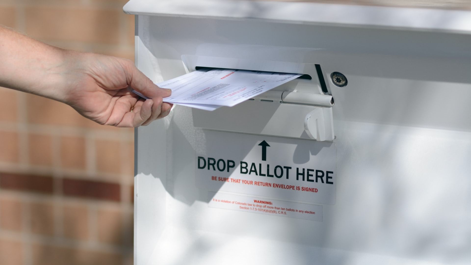
The disruptions of COVID-19 forces election officials to pivot voting practices, using maps to guide participation during the pandemic.
Ensheng Dong, the architect of the Johns Hopkins COVID-19 dashboard, applied his knowledge of GIS to map and track the spread of the disease.
Geospatial technology improves economic, social, and environmental outcomes.
Maps help organizations weigh wellness and economic impacts as communities work toward reopening from COVID-19 disruptions.
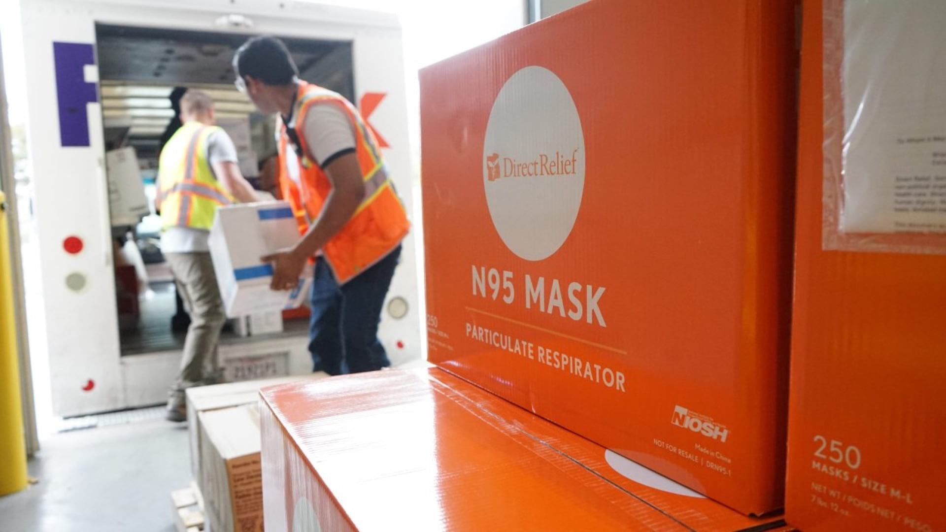
Direct Relief uses GIS to create distribution maps to solve medical supply chain problems in times of crisis.

GIS helps the FDA visualize manufacturing sites, monitor impacts of disasters, and safeguard investigators while they're in the field.
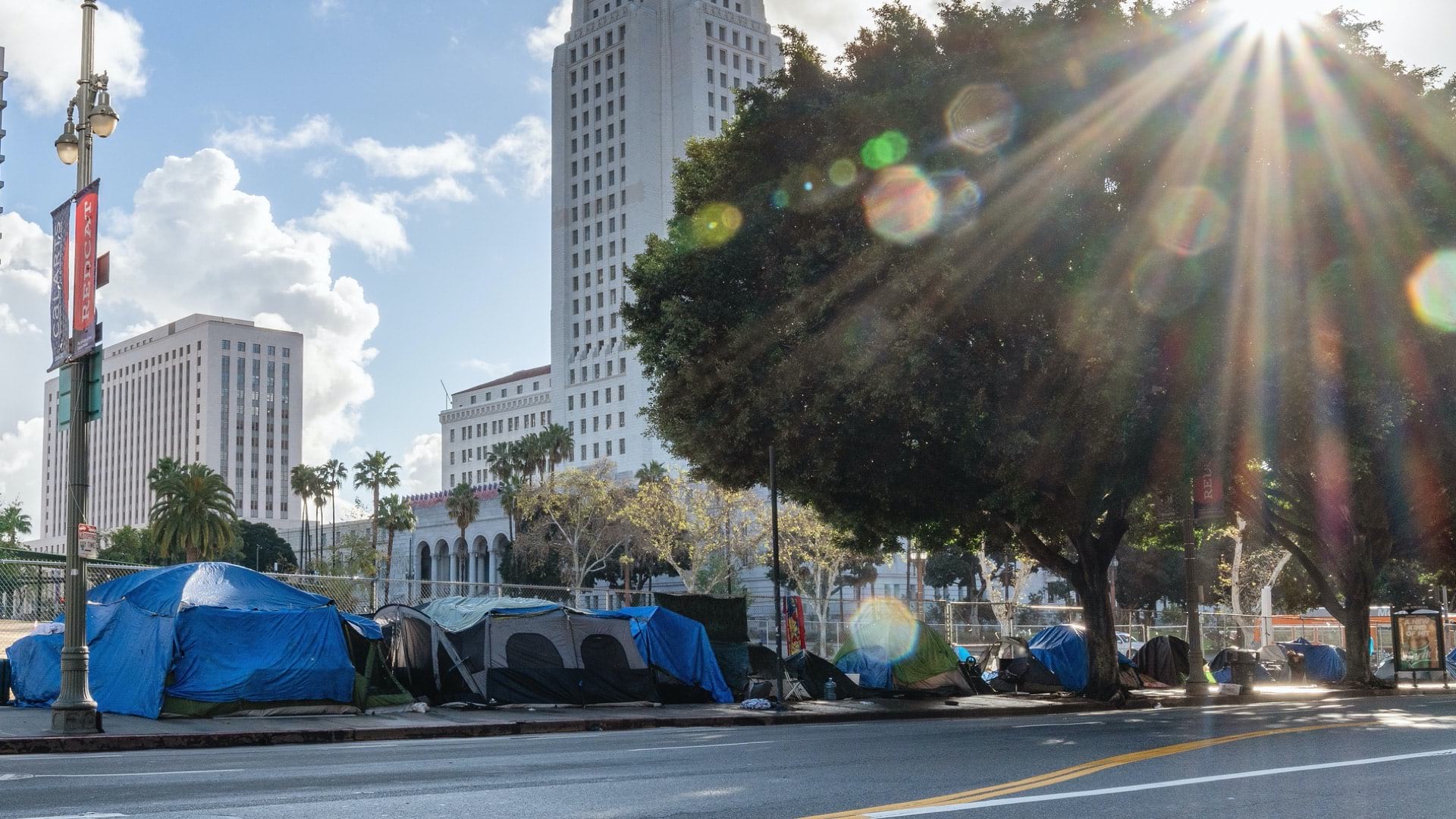
Cities and agencies use location intelligence to reveal the needs of our most vulnerable populations, and to deliver services where needed.