displaying 74 results
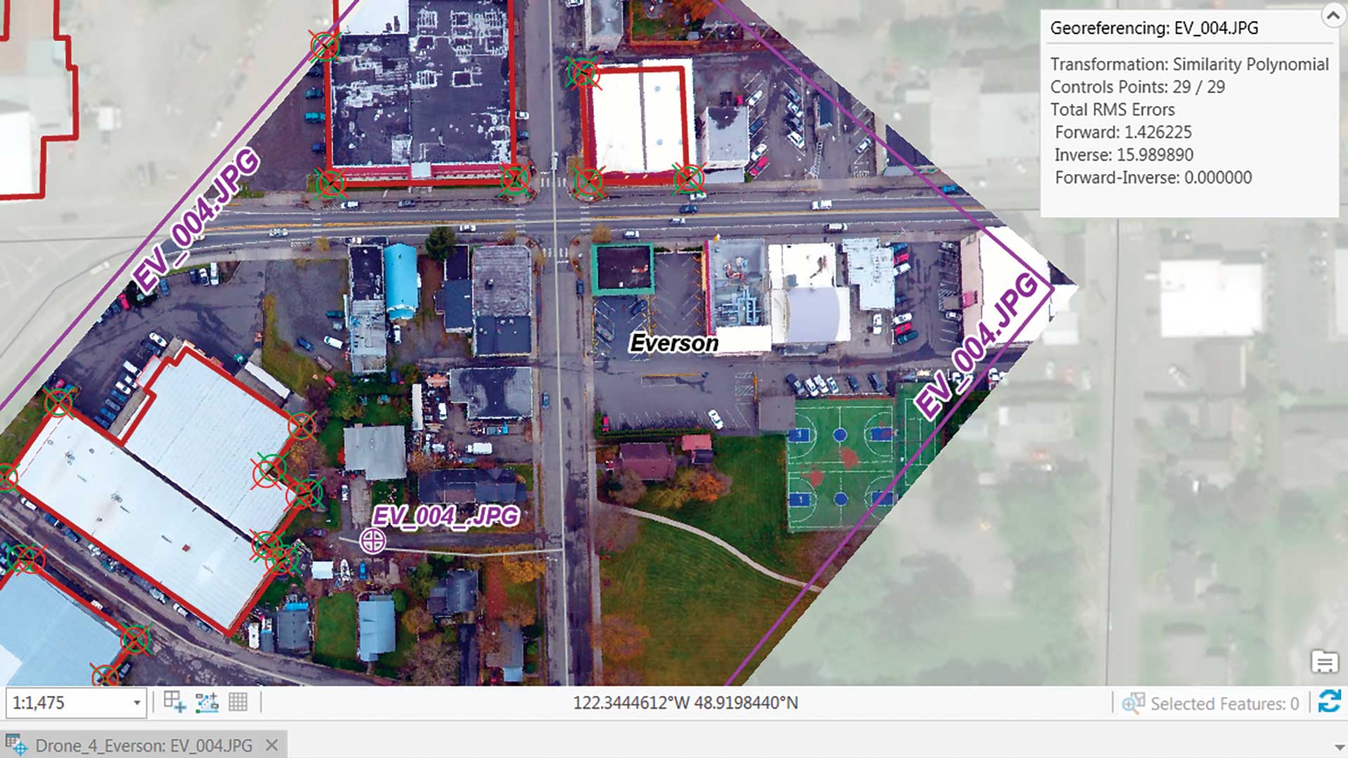
This exercise shows how to georeference an image by importing a file containing 29 carefully surveyed ground control points into ArcGIS Pro.

A map reveals the US regions with jobs most exposed to AI—for better or worse.
Cisco honors customer commitments by consulting a digital twin of its service supply chain, powered by GIS technology.

The tech company is using location awareness to support Black communities by digitally transforming a network of nonprofits.

The NYC Board of Elections established real-time operational awareness with a GIS-based dashboard of its polling places.

Customer demands are driving innovation in every stage of the value chain. Location data is lighting the path.
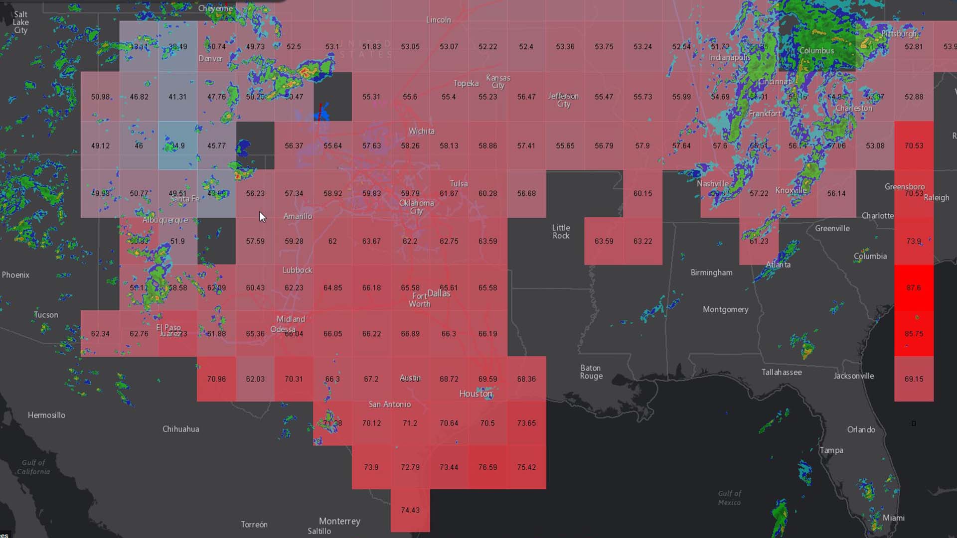
The branch of big data analytics that dices weather forecasts is intersecting with more and more businesses.
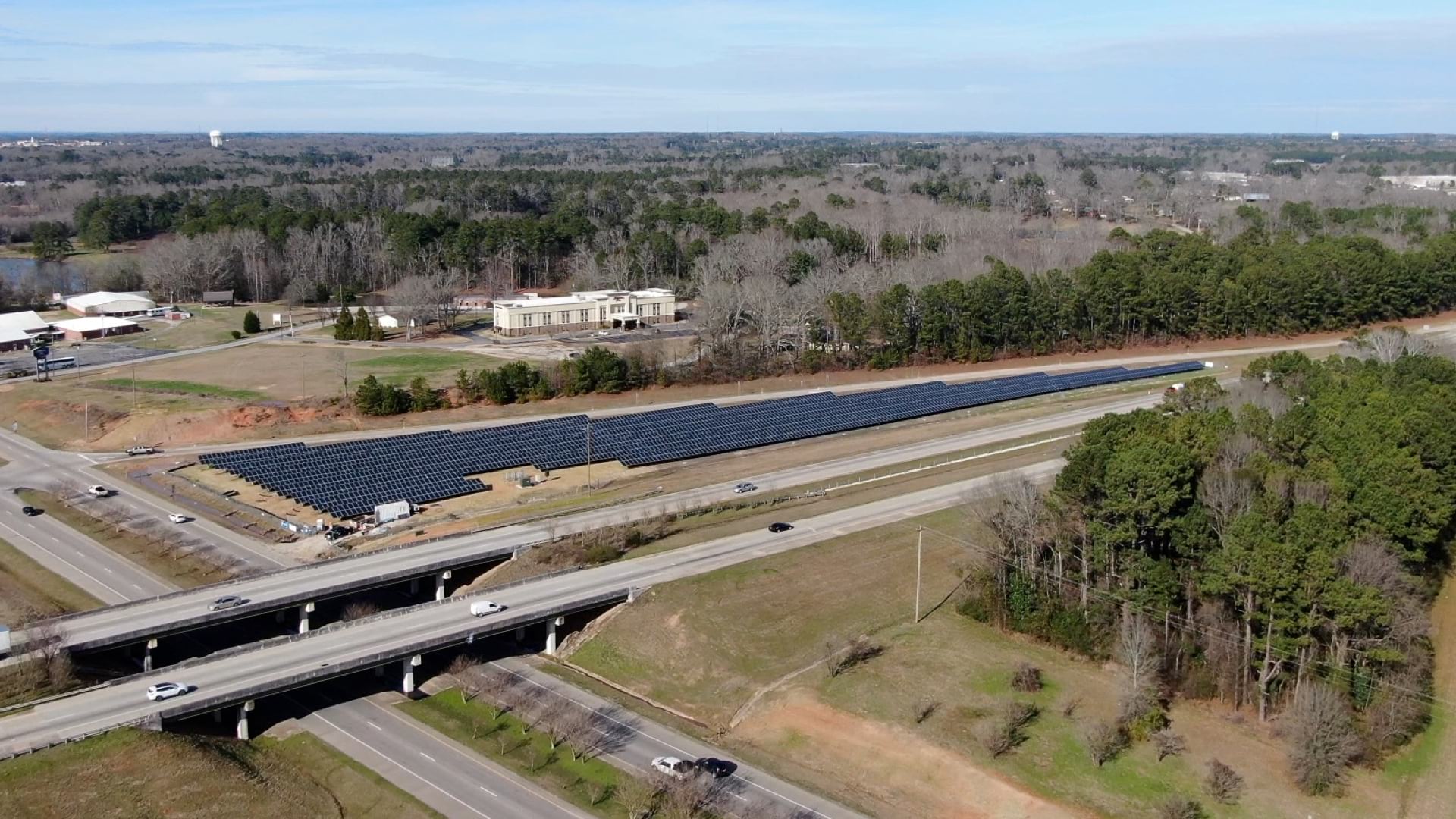
The Ray, an Atlanta-based nonprofit, wants to harness highway right-of-way land to host vast solar panel arrays.

GIS helped two companies—Quiet Professionals and Janes—connect people who want to leave Afghanistan with those who can help them.

As countries mobilize to tackle the coronavirus crisis, any action requires geospatial data to execute sustainably and efficiently.
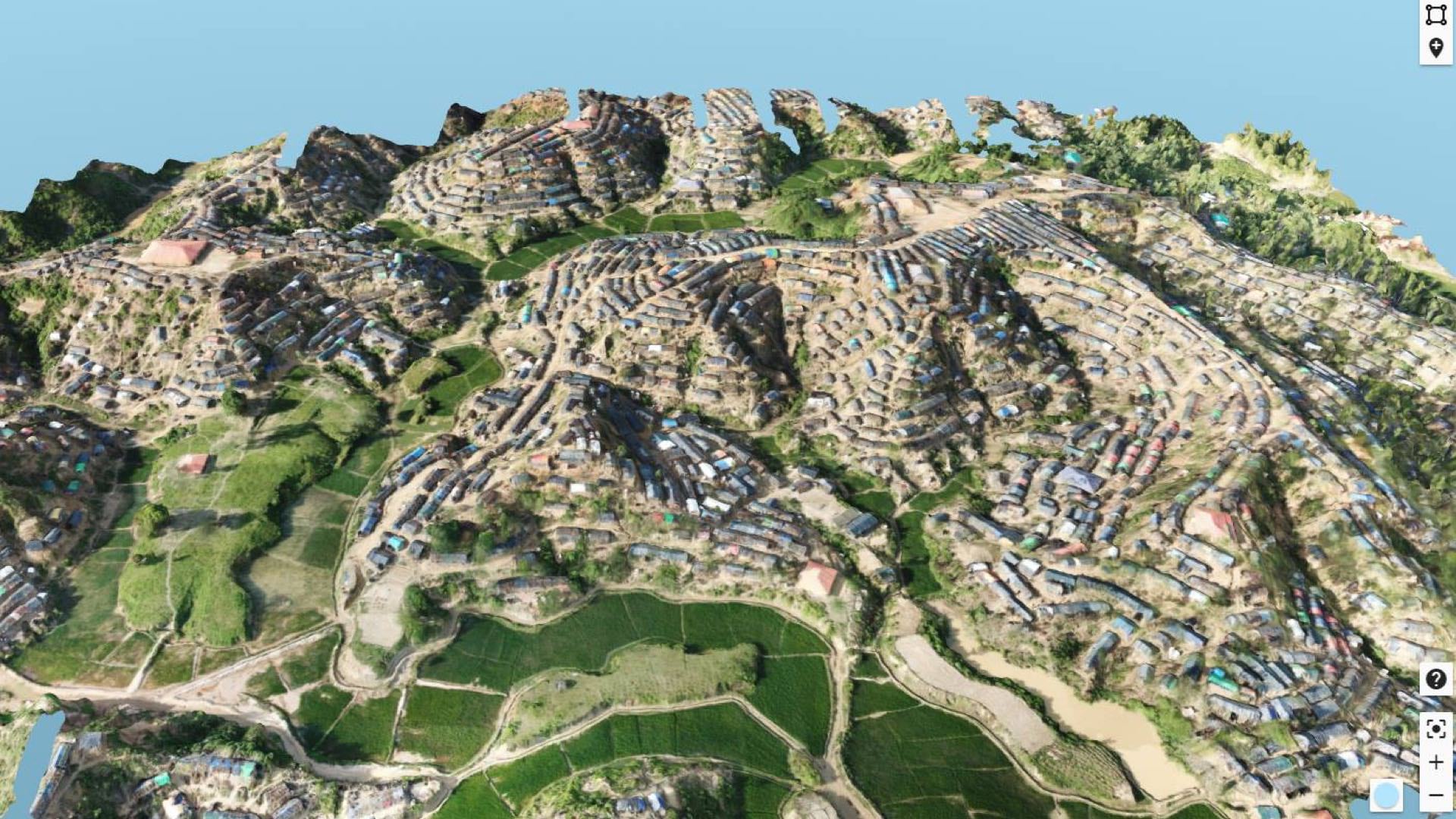
Daily drone flights have helped improve safety and services to the Rohingya refugees forced from Myanmar.