displaying 779 results
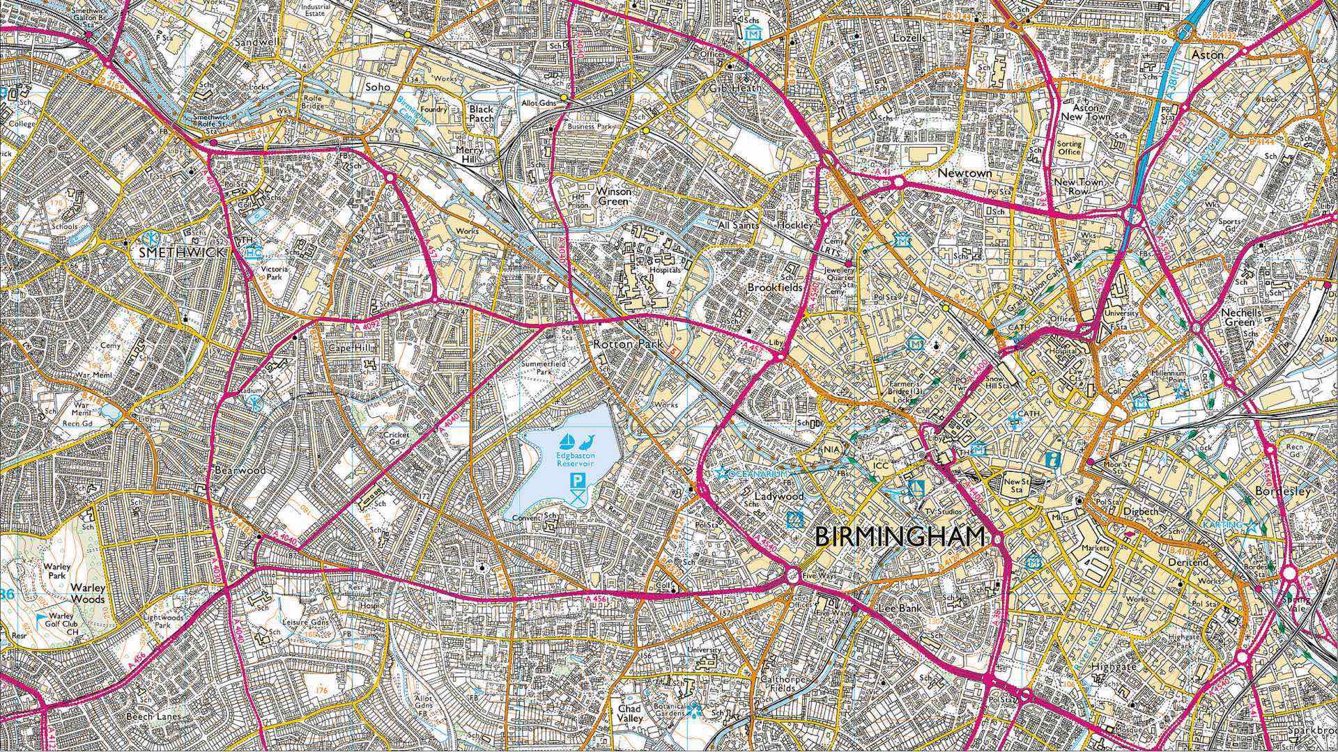
Ordnance Survey continues its role as the world's leading mapping agency by embracing innovation through automation.

Mapping and spatial analytics create information products that capture attention, spur further exploration, and guide decisions.

Archaeology has undergone a digital transformation where sensors and mapping tools uncover past human settlement without digging.
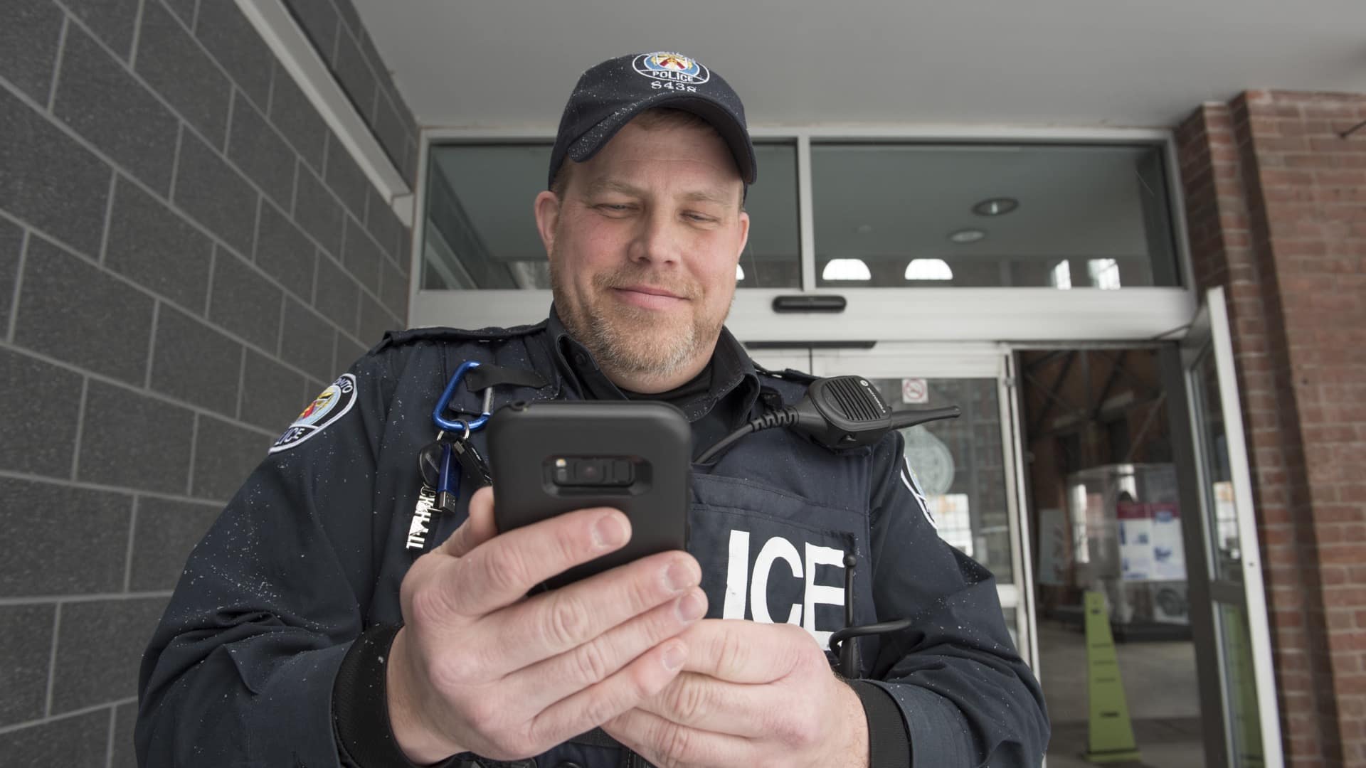
Mapping apps deliver targeted information to police officers in the field that improve their community connections.

Real-time awareness helped Bergen deliver a well-coordinated nine-day bicycle race, leading to a new public safety approach for all of Norway.

Knight Frank, a property consultancy, uses 3D models to envision rooftop development to help tackle London’s housing crisis.
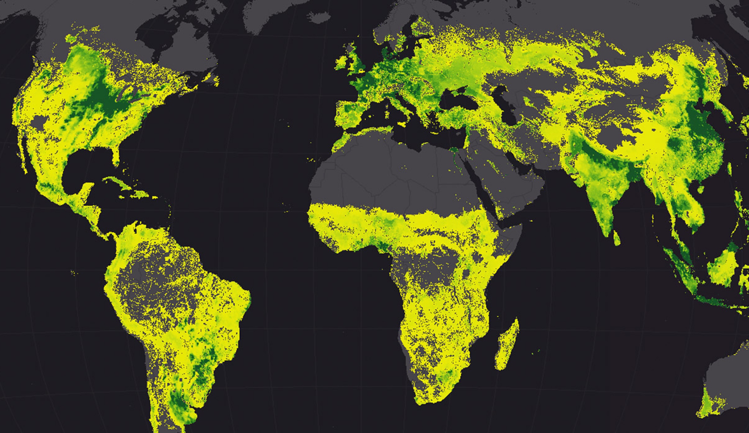
NOAA scientists use geography to integrate data and insight from five different disciplines to understand the rise of this fungal infection.
Humans have never been more connected, and our modern maps are a key connector.

The power of GIS rises from the unique way it connects seemingly unrelated information through location.
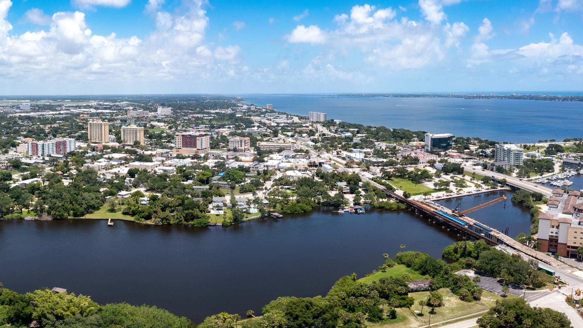
Brevard County has built a comprehensive street viewer in ArcGIS Enterprise to catalogue and maintain the county's infrastructure.
Listen as Allie Kelly from The Ray talks the role of geospatial technology in planning and designing sustainable roads and highways.
Trimble executive Chris Stern talks about the role of data-driven technology in relation to development and the operation of cities.