displaying 295 results
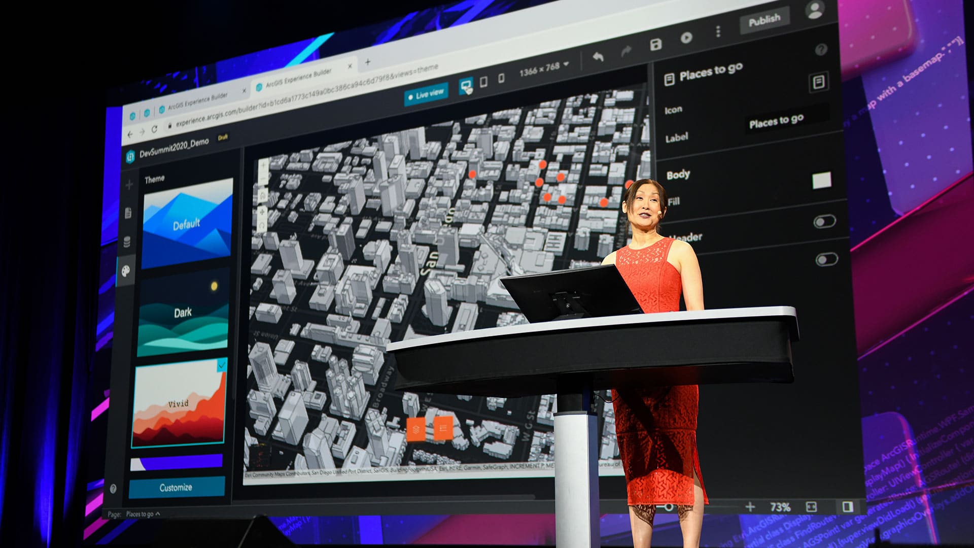
The Esri Developer Summit focused on new capabilities in ArcGIS including those in 3D mapping, natural language processing, and data science.
Learn how to tune the Virtual Desktop Infrastructure (VDI) and design visualizations for best performance.
YoLani Martin is passionate about applying GIS to humanitarian initiatives.
The 2.3 release of ArcGIS Pro includes productivity, visualization, and machine learning features.
The ArcGIS API for Python is easy to learn and extremely useful for data scientists, GIS administrators, and GIS analysts.
GIS is helping empower blind and partially sighted people to navigate and understand the world around them.
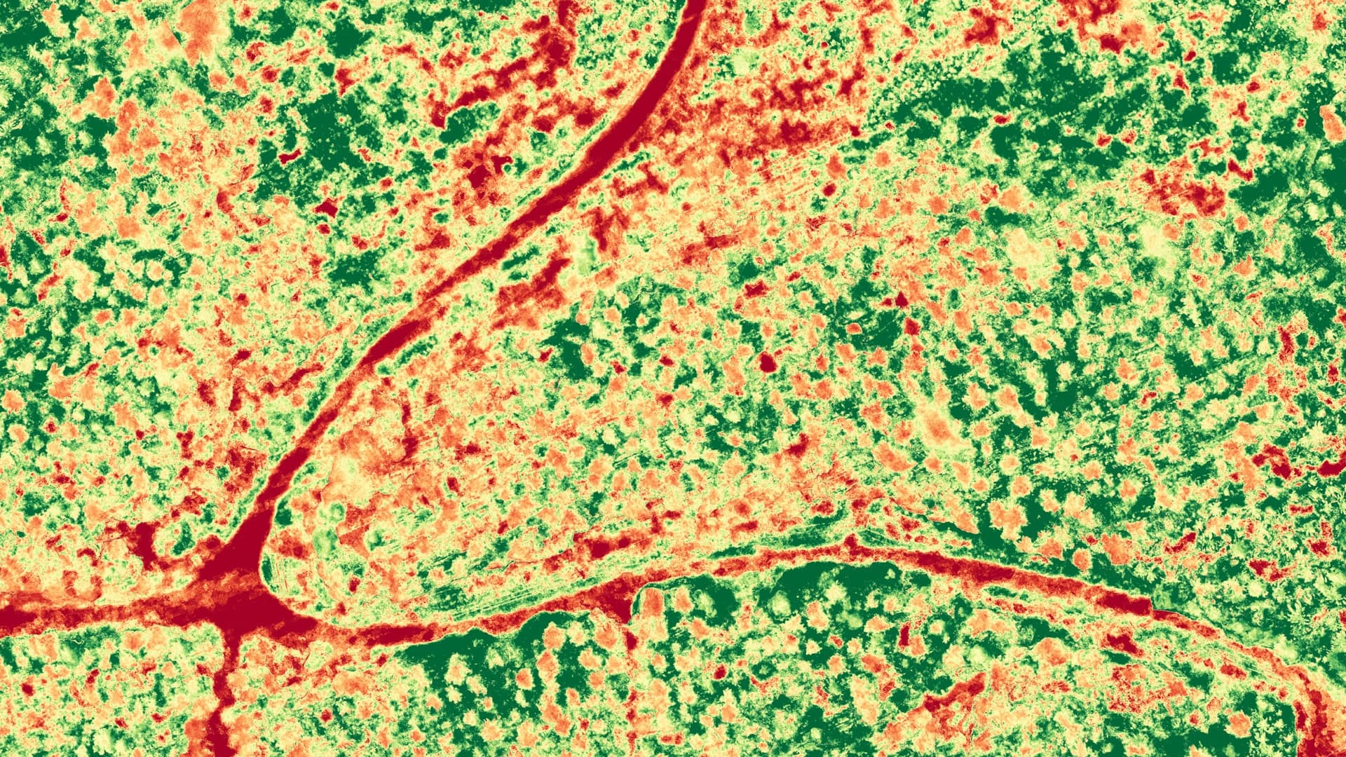
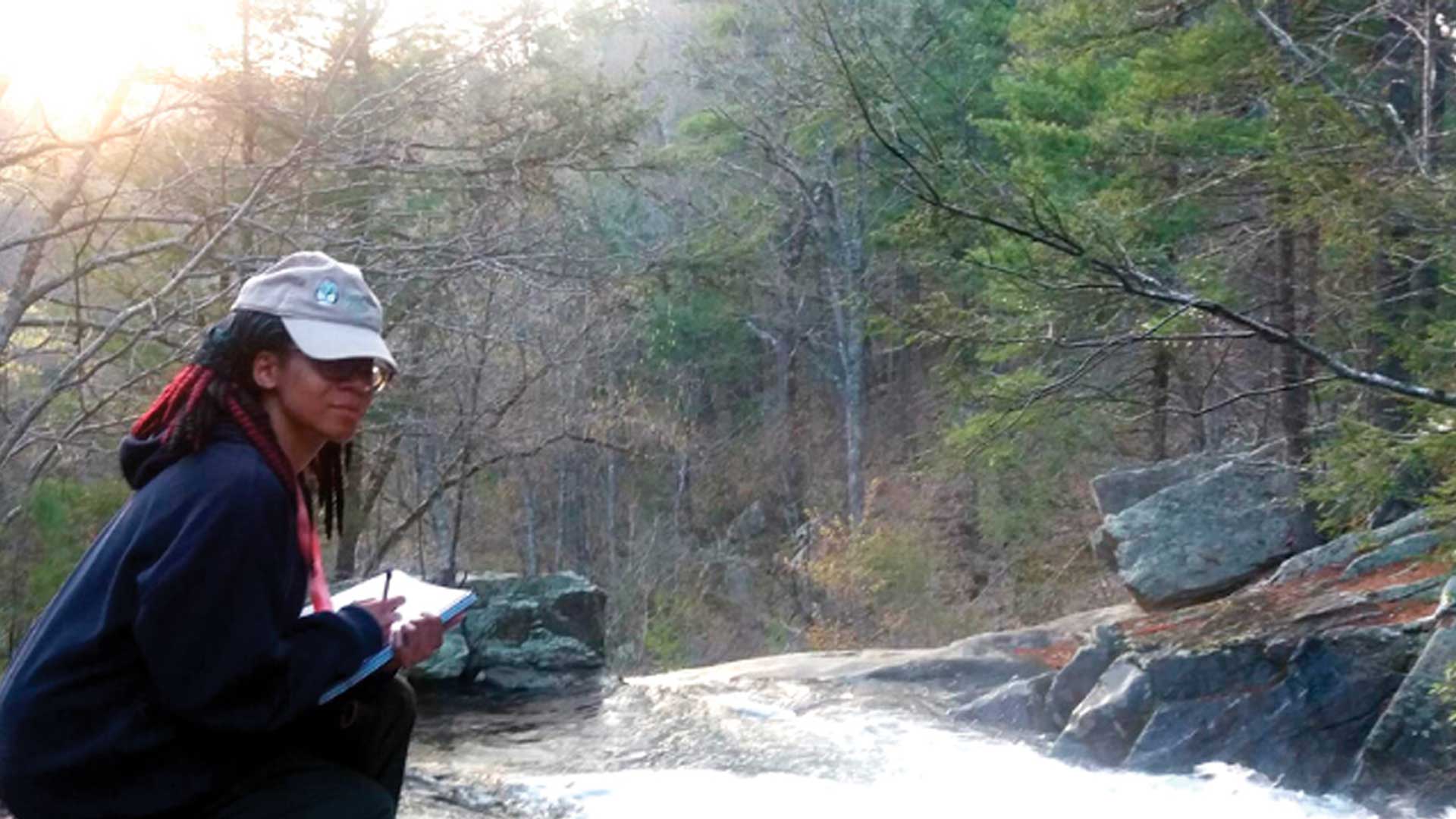
At the University of Vermont’s Spatial Analysis Lab, students learn how to use remote sensing to address pressing environmental problems.
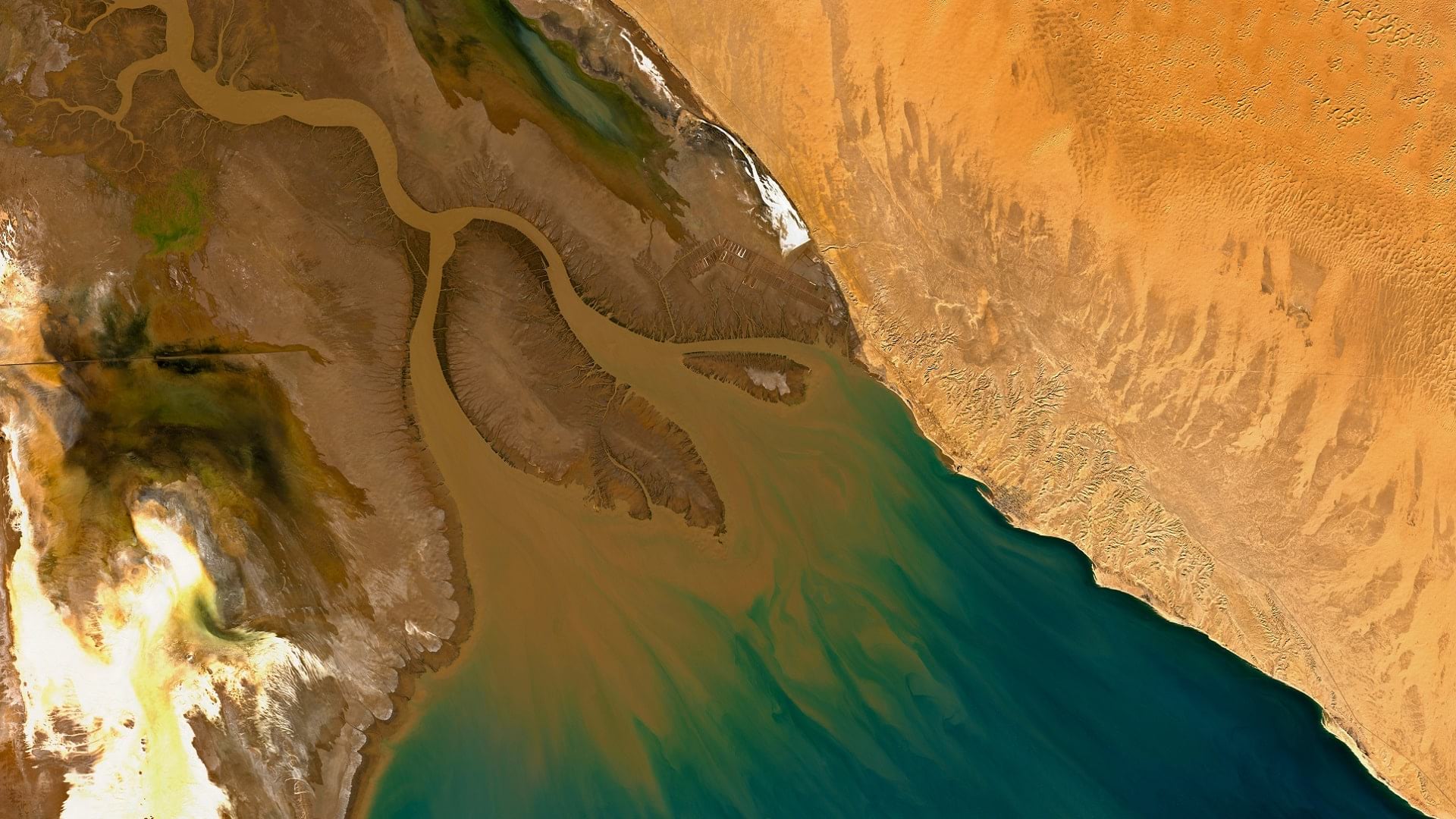
With imagery and remote sensing, the Audubon Society is working to preserve waterbird habitats in the Colorado River delta's largest wetland.

The NYC Board of Elections established real-time operational awareness with a GIS-based dashboard of its polling places.
Find out how utilities use location technology, artificial intelligence, and machine learning to keep information flowing, and manage assets.
The Esri Imagery Summit will cover advances in remote sensing and how artificial intelligence and machine learning is being used with imagery.

To prevent the potential dangers and harms seen with other AI models, GeoAI needs to abide by the principles of digital resilience.