displaying 103 results

As SERVPRO’s in-house meteorologist and GIS expert, Lela Davis helps the company predict storms and map business growth.

At a top engineering, design, and technology professional services firm, one director sees firsthand the value location analysts deliver.

As spatial computing hits consumer devices, some of its most useful applications are enabled by GIS.

Florida’s experience with disasters informs the state’s hazard mitigation plan, with a focus on social vulnerability and climate adaptation.

North Carolina uses GIS to analyze and communicate the state’s broadband needs.

Miami International Airport transforms inspections with mobile mapping apps, which spurs tracking construction progress.

The Vodafone country-scale digital twin captures environmental and network attributes to deliver a more robust and performant network.
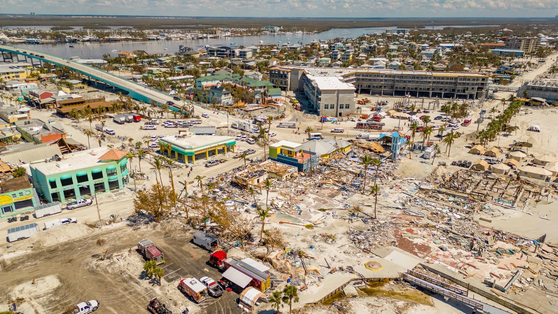
Urban search and rescue teams fanned out in Florida after Hurricane Ian with the benefit of a shared map to reduce redundant searches.
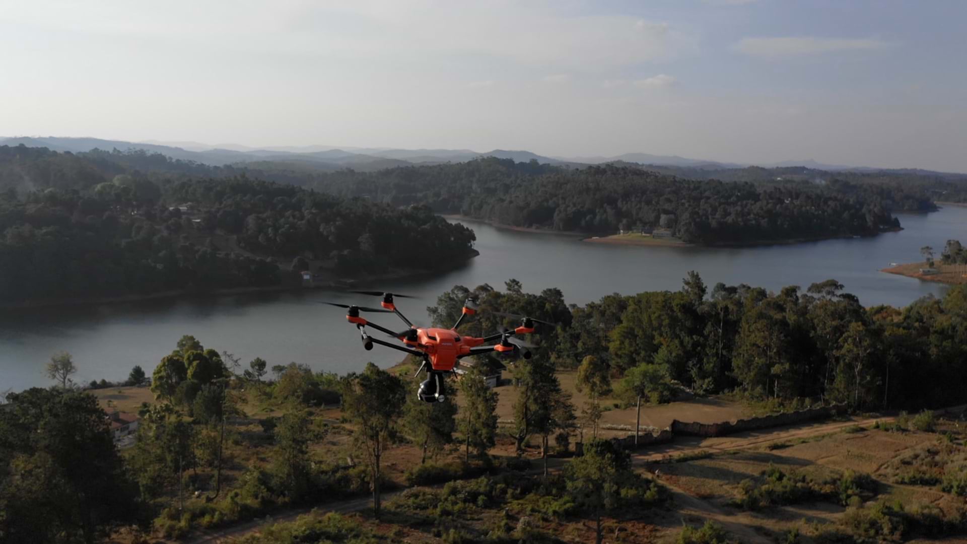
The World Food Program’s drone support in Mozambique helped build self-sufficient in-country capacity for disaster response and preparedness.
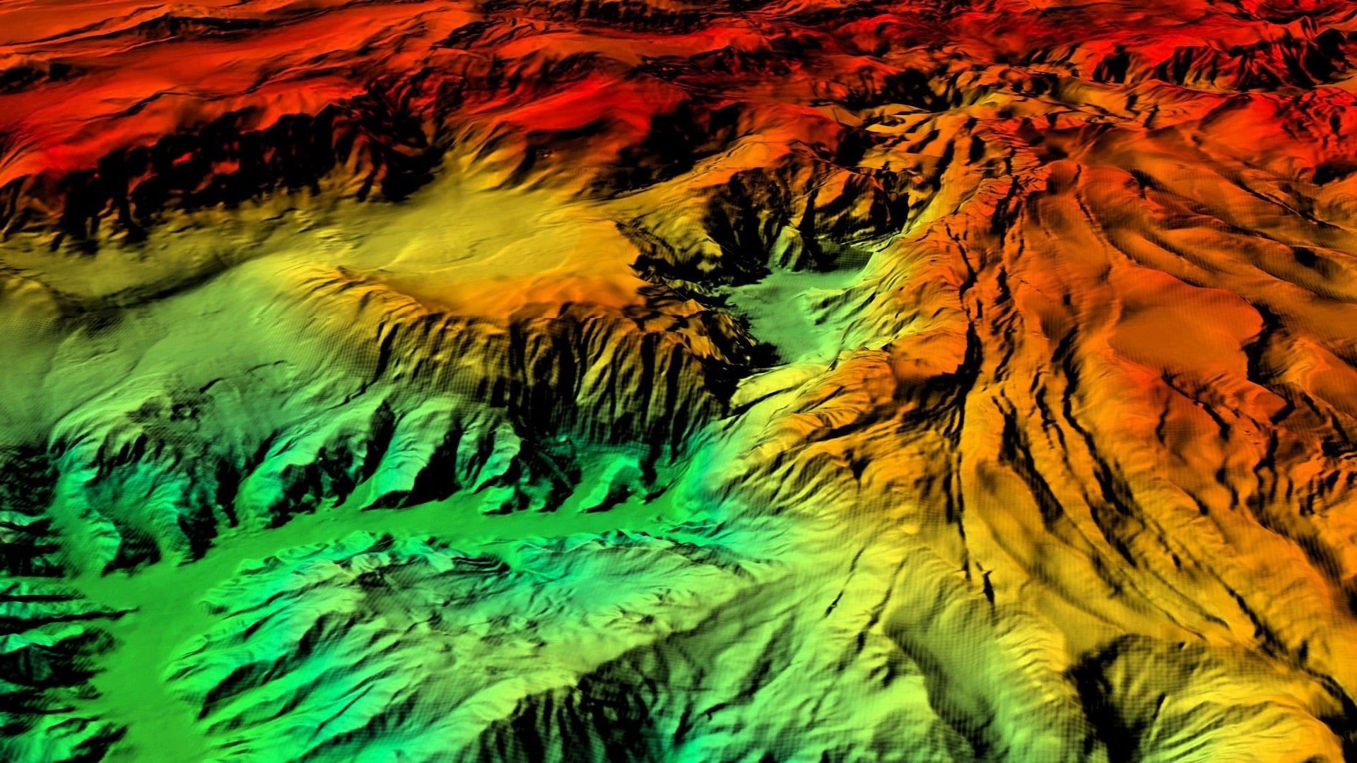
The Shell Ocean Discovery XPRIZE has ushered in a new era of autonomous seafloor mapping.

GIS helps track the movement of geomagnetic north and to calculate the change in order to improve navigation.

While drones have been used previously to map volcanoes, CRASAR’s fleet was the first to use them to officially aid disaster response.