displaying 999 results
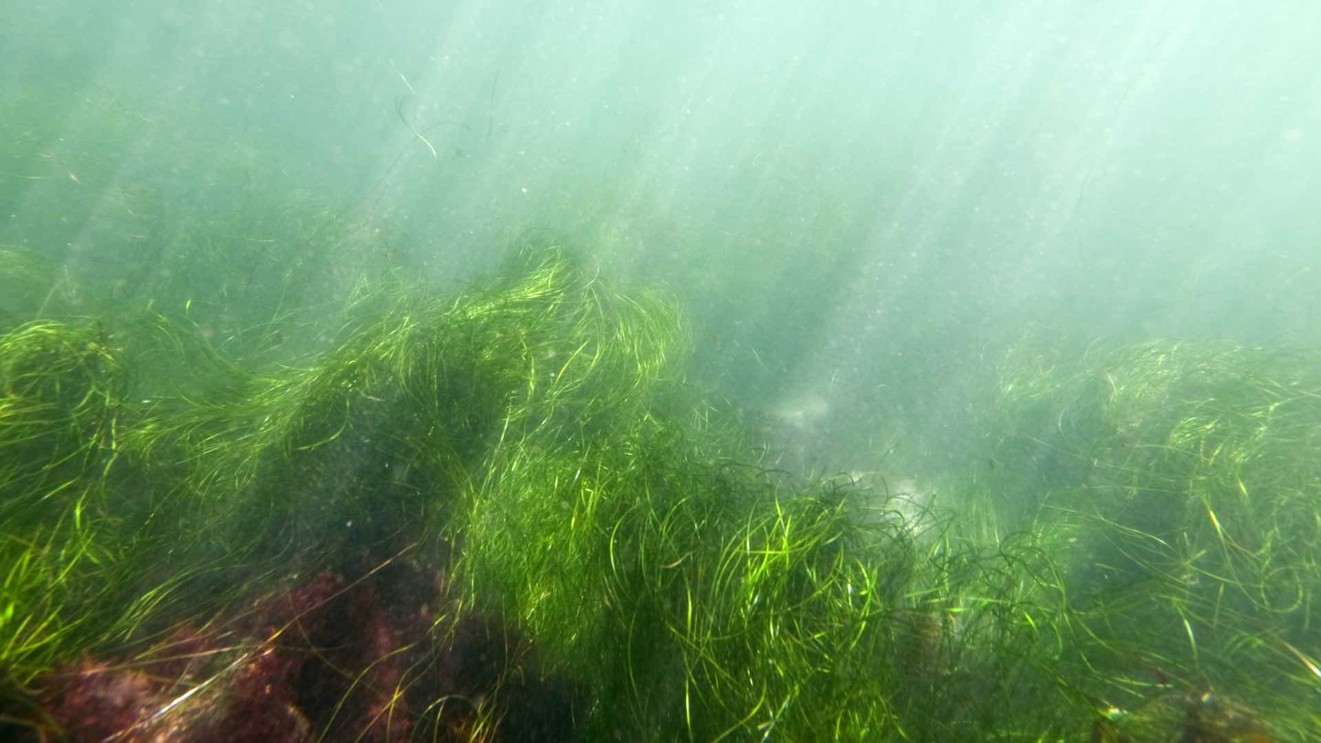
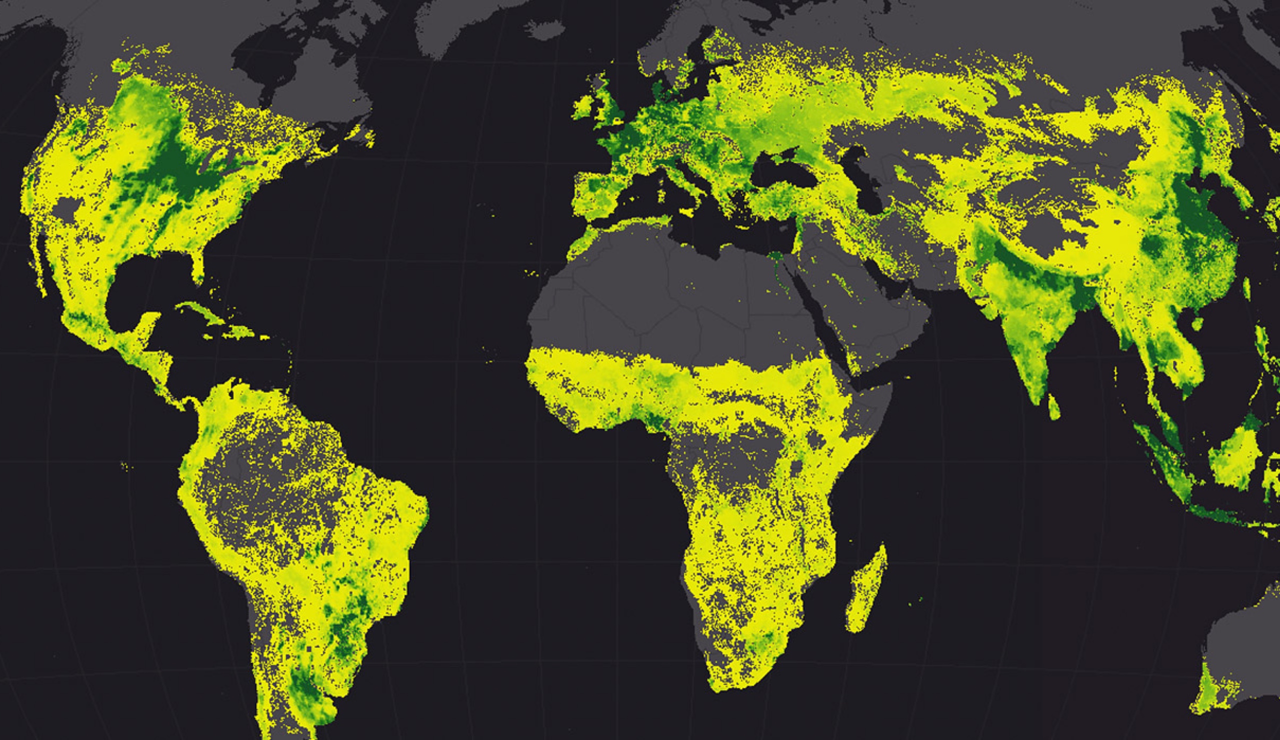
Researchers use GIS to collect data from drones and other means to better understand eelgrass wasting disease.
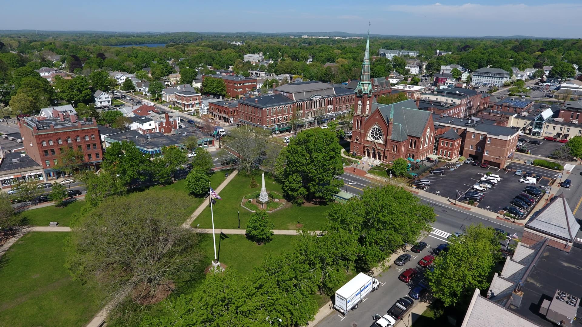
The Town of Natick deploys drones for a host of applications, improving the safety of staff while also filling in gaps in understanding.
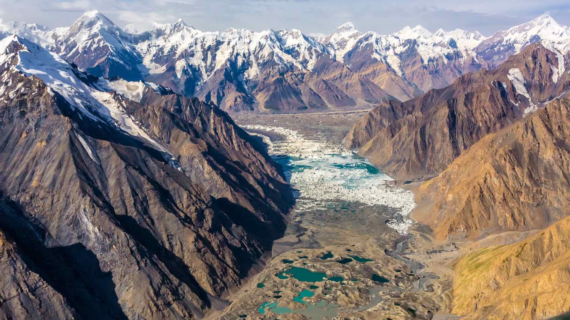
With multiagency cooperation, ICIMOD fills in data gaps to help create an economically and environmentally sound mountain ecosystem.

Real-time awareness helped Bergen deliver a well-coordinated nine-day bicycle race, leading to a new public safety approach for all of Norway.
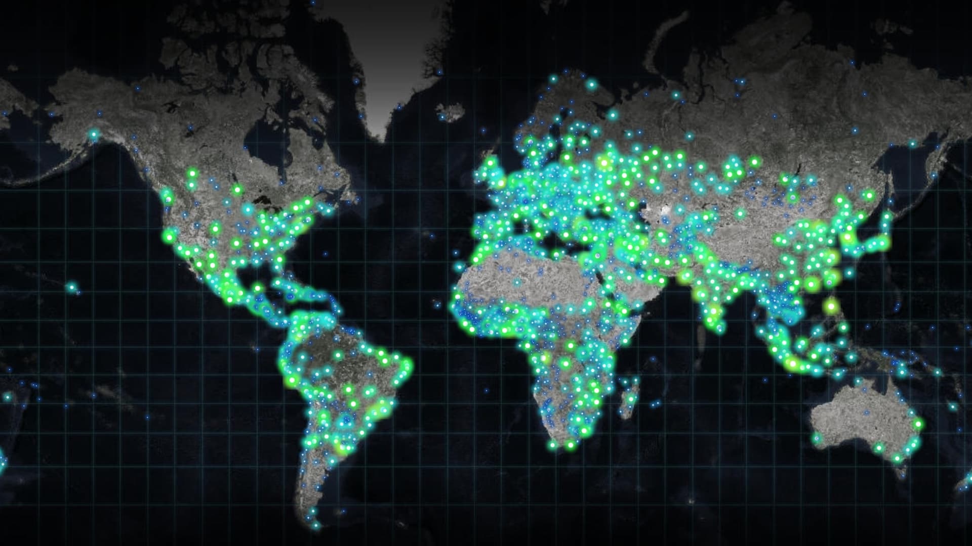
Increasingly powerful and insightful maps drive improvements in awareness, collaboration, and understanding.
Location intelligence helps deliver civil legal aid to the most vulnerable populations.
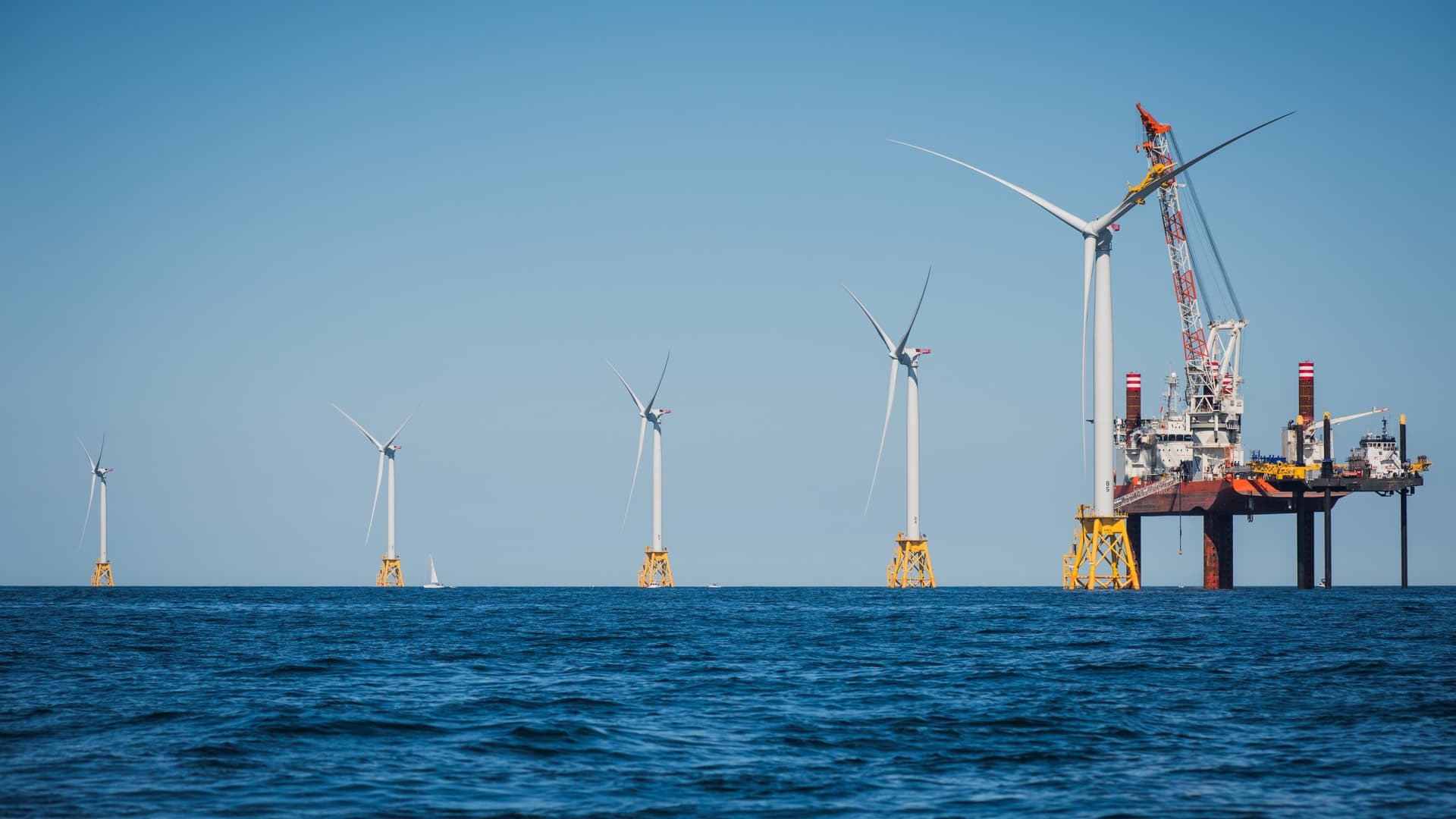
Innovative shared ocean data and mapping efforts are resulting in better economic and environmental decisions for sustaining the blue economy.
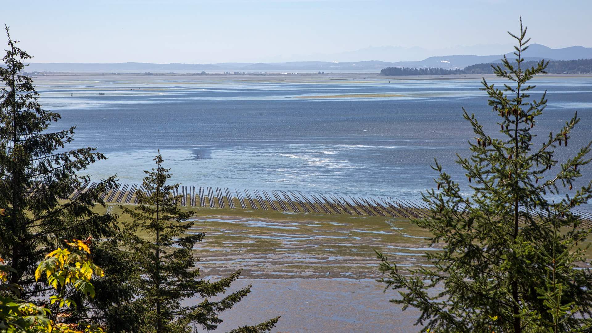
Taylor Shellfish added a genetics program to adapt their oysters to increased ocean acidity. Tracing each oyster ensures genetic resilience.
Humans have never been more connected, and our modern maps are a key connector.
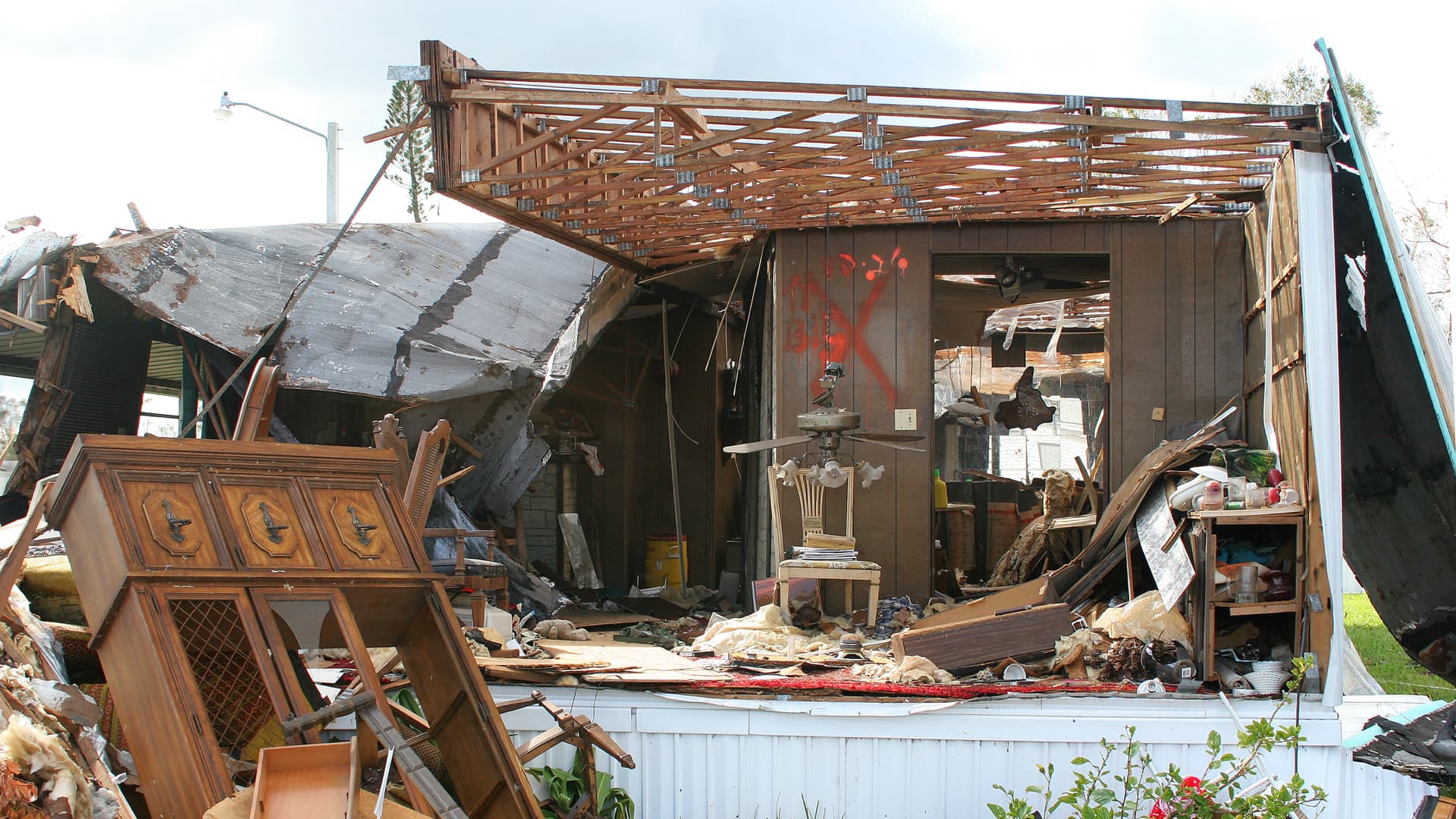
Learn about the importance of modernizing Community Wildfire Protection Plans and how ArcGIS Hub is revolutionizing the planning process.
Richard Matern, Director of Research at Food Banks Canada, explains how data and technology can reduce food insecurity in Canada.