When economic circumstances change often and dramatically, the promise of faster answers can be intoxicating to a business leader. It’s no wonder, then, that 60 percent of executives regularly use AI to support their decisions, according to Deloitte.
AI can rearrange a delivery network when a supplier goes offline due to a natural disaster or tariff restrictions. It can analyze satellite imagery to reveal local economies that will experience outsize growth in coming years. And AI can calculate revenue forecasts for a business expanding into new markets.
But the answers executives receive are only as good as the underlying data, Deloitte warns.
That puts a new premium on good data, and in today’s business climate, that often means geospatial data.
When Every Almond Counts, More Geospatial Data Is Needed
For the everyday AI user, chatbot answers drawn from bad data might not lead to measurable consequences. But for a business executive, the financial and reputational stakes are often high.
When a forecast overestimated the 2025 harvest of California almonds by hundreds of millions of pounds, the price for growers dropped overnight by close to 20 percent. The miscue had ripple effects on the finances of farmers, suppliers, and investors.
They deserved a far better guess.
Now, industry players are working toward a more accurate forecast that uses up-to-date information on how many acres of almond orchards—among the 1.5 million acres statewide—are producing this season, as well as the age and location of each. Both factors can affect how much is produced.
AI trained on satellite imagery can detect crop varieties and changes with stunning accuracy. Geographic information system (GIS) technology employs such techniques to produce reliable geospatial data, delivering trusted answers to executives when sizable investments are on the line.
A Trusted Input, Ready for the AI Era
AI gets smarter as its access to data increases. But volume alone doesn’t yield good results—reliable data is the bedrock.
Deloitte advises executives to validate and govern data thoroughly—affirming where it came from, how it was altered, and whether its conclusions can be independently verified. That process is key to establishing the integrity of forecasts and models that drive decisions.
Across the business world, geospatial data has become a trusted input in strategic planning.
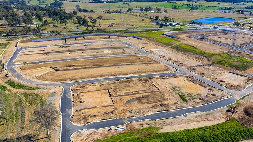
A homebuilder spending billions to construct thousands of homes relies on GIS analysis to build in the right locations—a more nuanced challenge than one might expect. Geospatial data reveals where downsizing retirees are looking for smaller homes, and where a sandwich generation (adults caring for their parents and young children) needs larger houses to suit its lifestyle. By combining spatial insight from inside and outside the organization, the company’s GIS professionals created a data source executives can rely on.
Deloitte’s report serves as a warning to business leaders who make decisions based on AI without pausing to question the data at its core. GIS teams have long known the value of verifying data—the critical but often thankless task of creating a geospatial foundation on which a business makes strategic decisions.
Now in the AI era, their work—and the data they manage—is more important than ever.
Read more about AI in business in this Forbes article.
The Esri Brief
Trending insights from WhereNext and other leading publicationsTrending articles
December 5, 2024 |

January 11, 2024 |
May 26, 2026 |

September 8, 2026 |
September 22, 2026 |

September 15, 2026 |