Beneath the operational intelligence and efficiency powering much of the modern enterprise is a process few people have heard of.
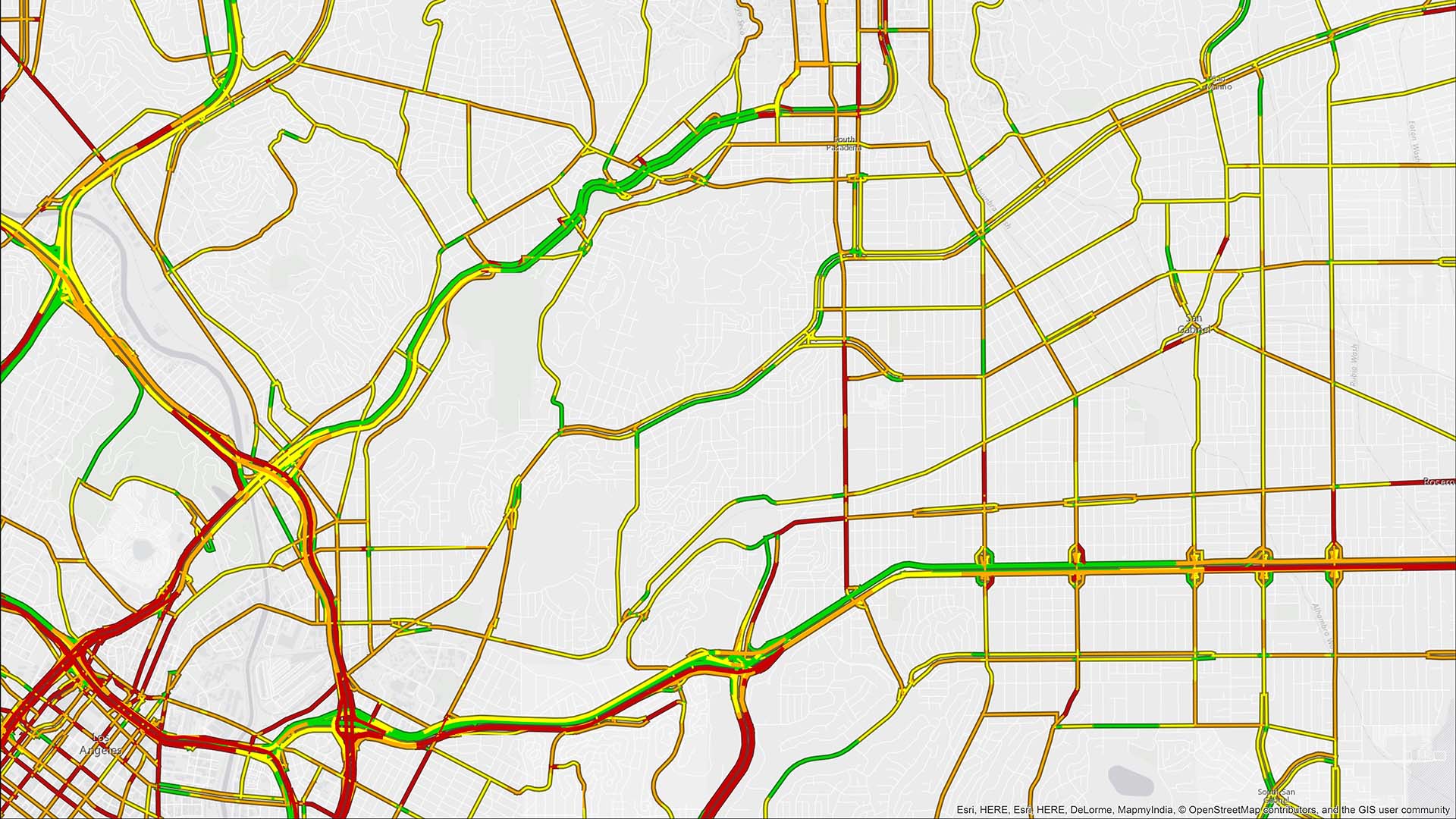
Geocoding converts a description of a location—a name, a point of interest, a street address—to a point on the Earth’s surface. Those coordinates, often generated through a mapping and analytics system powered by geographic information system (GIS) technology, are a gateway to operational efficiency and intelligence.
Without geocoded data, a company can’t visualize or analyze location information—and thus can’t organize customer addresses into optimized delivery routes, assess tax jurisdictions, or analyze the demographic groups driving revenue growth.
Chief data officers, supply chain managers, and analytics directors are waking up to the ways geocoding unlocks business value. Applications like geospatial AI, drive-time analysis, and psychographics may command executives’ attention—but geocoding is the quiet catalyst that makes them all possible.
Why Companies Are Adopting an Enterprise Approach to Geocoding
Since the 1960s, when geocoding helped the US Census Bureau develop one of the first street network databases, it’s become the first step organizations take to understand where and how their business operates.
While stand-alone services exist, savvy Fortune 500 companies are geocoding with enterprise GIS technology, which holds several advantages. It gives the entire organization access to standardized address information, assuring line-of-business managers they are working from verified locations.
An enterprise approach also strengthens security and compliance—a crucial factor in fields like insurance and financial services, where sharing personally identifiable information (PII) with a third-party service carries compliance risks. And, by geocoding with the GIS software used by their real estate and security teams, CIOs avoid adding another point solution to the tech stack.
In each of four core business practices—security operations, app development, market planning and development, and operations management—geocoding is the prerequisite for operational efficiency and intelligence—the foundation for smarter, more efficient business decisions.
Security Operations: The Location Tech Behind Cutting-Edge GSOCs
In New York City, the global security operations center (GSOC) of a prominent financial services firm operates around the clock, with large screens displaying news feeds affecting company locations around the world. As the hub for gathering intel and keeping thousands of employees safe, the high-tech facility relies heavily on geocoding.
Several years ago, while integrating GIS into its incident reporting system, the firm geocoded all of its office and company locations. Now, when an employee anywhere in the world calls to report a fire, parking lot accident, or attempted break-in, GSOC representatives log exactly where the incident occurred.
These records enable hot-spot analysis and other forms of operational intelligence. If incidents are rising at particular offices or in certain markets, GSOC leaders spot the trends on maps and can take action.
One utility company applied the same tactic to protect service workers who maintain infrastructure on public and private properties. As they complete appointments, employees can add notes—about a hostile homeowner or threatening dogs—to locations geocoded in the enterprise GIS software. When colleagues visit the same addresses in the future, they’re aware of potential risks.
App Development: Establishing the Location Foundation
Most software applications that help customers and employees answer “where” questions have geocoding at their core.
A major fintech firm, for example, offers an app that calculates sales tax for online transactions. When a buyer makes a purchase on a website, the app instantaneously calls a geocoding service to match the buyer’s location to a tax jurisdiction, making for faster, more accurate checkouts.
Location-based apps also help consumers make purchase decisions. Some insurance companies use online tools that automatically generate quotes, for example, by correlating geocoded addresses with local risk factors.
Inside a business, geocoded data helps accelerate and optimize processes. In the call center of a roadside assistance provider, service reps might ask a stranded motorist for the nearest intersection, information that helps the rep quickly identify the nearest tow truck driver and resolve the call.
At one of America’s most popular fast-food delivery companies, GIS analysts can optimize the layout of regional distribution centers because the company’s entire network is geocoded. Supply chain engineers forecast capacity and plan new centers with the location data from enterprise GIS software.
Market Planning and Development: Geocoding for Smarter Real Estate Decisions
Geocoding helps businesses sharpen focus on where they stand today—and where they hope to be tomorrow.
A data center developer, for instance, may consider hundreds of land parcels for acquisition. Once the addresses are geocoded, analysts can eliminate locations that lack the topography, energy access, or water supply to support a data center. They can also prioritize the best parcels, putting the company ahead of competitors in the race to build out AI infrastructure.
Geocoding plays a central role in aggregating consumers into demographic and psychographic groups. Knowing which types of consumers live in certain ZIP codes, businesses can better meet customer needs by tailoring inventory and marketing to those locales.
A holistic health-care franchise uses GIS to clarify real estate decisions like which shopping center is the best fit for one of its studios. With geocoded data on which brands are tenants in which shopping plazas, the company’s real estate managers identify locations likely to attract their best customers.
Operations Management: Location as the Foundation of Efficiency
The operational efficiency of a corporate campus, steelmaking factory, construction site, or global supply chain requires a precise accounting of assets and facilities.
For a sustainably minded apparel firm, geocoding Tier 1 through Tier 3 suppliers is the first step to understanding exposure to climate-related regulation or unacceptable labor practices.
For a manufacturing firm, geocoding can unlock insights at the sub-address level. By recording the locations of machines within a facility, a manager can analyze patterns in injury incidents to make the operating environment safer and more efficient for workers.
A meat-packing company that contracts with hundreds of farms on the Eastern Seaboard geocoded its supply network and optimized drivers’ routes, minimizing delivery times while reducing diesel use by tens of thousands of gallons.
Bringing Location Data to Life for Business Operations and Analysis
The most sophisticated modern applications of mapping and analytics ultimately rest on one of the most fundamental spatial capabilities: geocoding.
When a business can’t miss its marks—whether by routing nurses to patients or tracing critical supply chains around the globe—geocoding delivers the precision and reliability needed for operational intelligence and efficiency.
The Esri Brief
Trending insights from WhereNext and other leading publicationsTrending articles

December 5, 2024 |

March 3, 2026 |

June 23, 2026 |

March 17, 2026 |

April 7, 2026 |

June 9, 2026 |