The Esri Brief
Get location tech news in your inbox
Trending articles


As business leaders work to reach net-zero status, some are taking a closer look at one popular tool.
Carbon offsets have been bought and sold for decades. Each is meant to represent one ton of carbon dioxide that will not be released into the atmosphere. But the voluntary market for these credits has come under scrutiny for what some say are inconsistent standards and a lack of transparency. No business wants to learn that it bought credits for a project that didn’t exist—or does more harm than good for the climate.
To prevent such outcomes, the Integrity Council for the Voluntary Carbon Market recently released standards for carbon credit issuers, The Wall Street Journal reported. The guidelines would require issuers to make credit information transparent and traceable. The council also encourages the hiring of third-party auditors to sign off on emissions claims. Carbon issuers that comply would earn a Core Carbon Principles badge to verify their efforts.
Reputable firms are already doing much of this, with the help of a brand of business insight known as location intelligence.
Revealing Areas Rich with Carbon
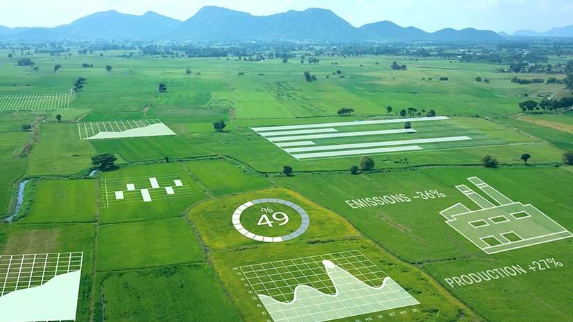
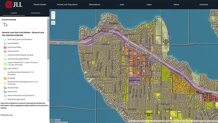
Carbon offset projects span a variety of activities. Some involve protecting forests, planting trees, building renewable energy capacity, or sequestering methane emissions. The one constant is the need for location-based insights to understand where projects should be sited and to track their progress. For some leading companies, smart maps generated by geographic information system (GIS) technology guide much of this work.
Take deforestation. A first step for a carbon offset issuer might be to pinpoint forests rich in carbon and biodiversity that are at risk of being torn down. To do so, GIS analysts examine satellite imagery, global databases, and on-the-ground measurements that reveal land use, soil types, and other indicators of ecosystem health. Imagery might show nearby roads and economic activity that indicate an area is in danger of clear-cutting.
Next, location analysts can review historical land-use patterns to gauge the carbon likely to be released if the area were razed. Finally, when a third party has deemed it a valid project that will avoid carbon emissions, the issuer must make sure it stays that way—often for decades. With eyes in the sky and boots on the ground, companies have the location intelligence needed to ensure that the land hasn’t suffered from a fire, an insect infestation, or illegal cutting and encroachment.

Near real-time imagery and location-based data collected on the ground can alert carbon credit issuers and holders to early threats.
Seeing More Than We Ever Have
Farming, drilling, building, maneuvering troops—there’s very little activity on Earth’s surface that is truly anonymous these days. Growing numbers of satellites, drones, and sensors have ushered in a new age of visibility. Trusted carbon credit issuers are seizing on that visibility to confirm the value of carbon-offsetting projects. The same data can be used to show investors, board members, and the public that carbon-reduction projects are working.
As consumers and industry watchers call for transparency into corporate sustainability goals, they’re looking for more than passing references in sustainability reports. Maps can help verify projects and build trust that carbon offset work is having the impact its supporters claim.