The Esri Brief
Get location tech news in your inbox
Trending articles


In the face of constricted supply chains, manufacturers and their customers have had to embrace a business cliché: do more with less.
The scarcity of supplies—from cars to baby formula to coffee—has led some businesses to reengineer their supply lines to use fewer sources of raw materials or components. In turn, their customers have had to become more strategic about how they use the products they buy.
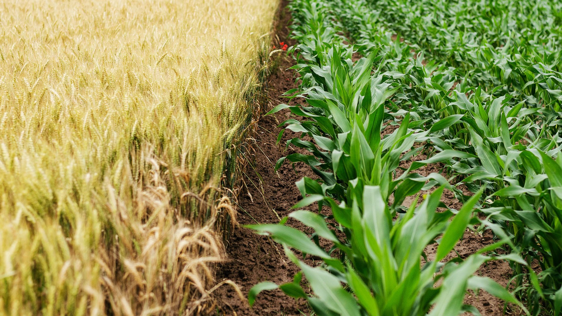
For the agricultural industry, one critical ingredient has been increasingly hard to come by. As Bloomberg Businessweek recently reported, supplies of synthetic fertilizer were already stretched thin by rising natural gas prices, factory closures, and export restrictions when Russia, long an exporter of crop nutrients, launched its invasion of Ukraine, stretching supplies even thinner.
For farmers, maximizing the impact of fertilizer may be a challenge best accomplished with maps.
Precision Preserves Scarce Resources amid Fertilizer Shortage
Knowing where and how to use limited resources is a strategy that leaders across multiple industries are working to master.
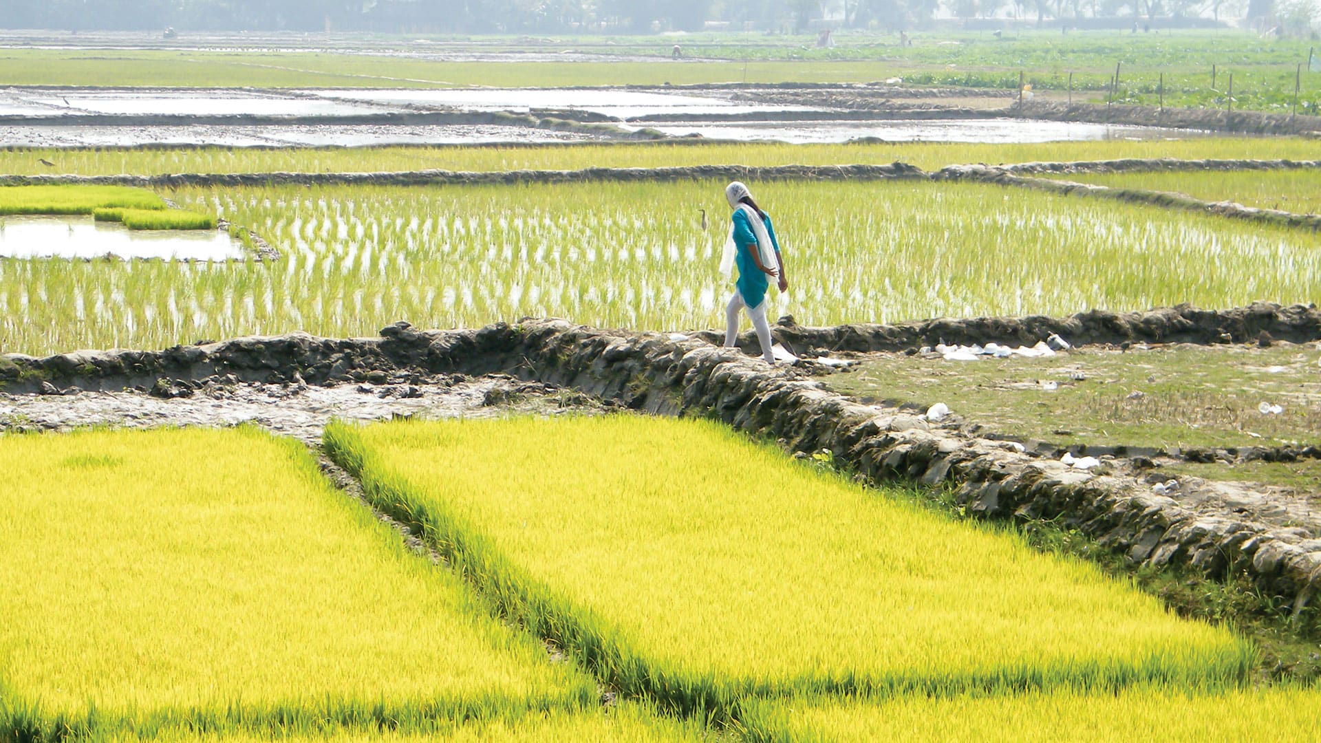
For farmers, strategically placing fertilizer to maximize its nutrient benefits isn’t just possible, it’s already happening.
Iowa Select Farms, the fourth-largest hog producer in the US, created its own app powered by geographic information system (GIS) technology to ensure that hog manure gets strategically—and responsibly—applied to the crops that will eventually feed its hogs. By integrating data on soil analysis into GIS, the company determines which sections of a farm need fertilizer applications and to what degree.
As reported in a recent WhereNext article, the Iowa Select team “turned to GIS to analyze how much fertilizer to apply to which portions of the fields in accordance with environmental regulations—a form of location intelligence pivotal to smart agriculture.”
From Fertilizing to Harvesting, Precision Begins with Location
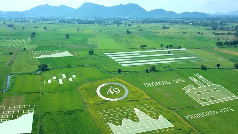
The benefits of a strategic, geographic approach to farming aren’t limited to fertilizer application. As technology has advanced, agribusinesses have deployed drones and field sensors for crop and soil monitoring—part of a movement some call the smart farm. The resultant data, when analyzed with location technology, can yield valuable insight that guides planting, weeding, and harvesting.
Such knowledge also informs purchasing by better matching inputs to outputs, which can help control costs and increase yields while providing more predictable forecasts for the manufacturers who rely on agricultural products.
Some smart farms (also known as connected farms) are also assessing crop health from the sky, limiting the need for costly in-person visits. As noted in this WhereNext Think Tank interview:
The connected farm is a broader vision of precision agriculture, which has been around for decades. Technology plays a key role—it’s changing how farmers look at a field of corn or the next crop of grapes or a herd of cattle. With new technology and data, growers and ranchers see in a very nuanced way how each location within their operation is performing and adjust proactively.
A shortage of fertilizer may ultimately spur more efficient farming techniques, which would be a welcome outcome in a world facing a growing population and increasingly severe impacts from climate change. The key in times of scarcity is having the location intelligence to know precisely how much product to apply and where.