Julie Powell
Connect:

Julie Powell is a Principal Product Manager, focusing on Esri's web development technologies. She works to ensure developers can be successful in building state of the art, purposeful solutions using ArcGIS software. Julie brings 20 years of experience working with global leaders such as Hewlett-Packard and Esri, delivering a variety of software solutions for both the enterprise and consumer markets. Julie has worked on a wide range of projects and consulting endeavors, including serving as technical lead for web mapping solutions for strategic customers.

Posts by this author
What’s new in ArcGIS Maps SDK for JavaScript (4.26)

Learn about the latest advances in the JavaScript Maps SDK such as highlight enhancements, interactive placement of media overlays, and more.

Continue Reading

Calcite Design System 1.0 released!

The production release of Calcite Design System is available! Learn about 1.0 and how you can use Calcite to build user-friendly web apps.

Continue Reading

Introducing the ArcGIS Maps SDKs

Starting in December, we will begin delivering our client SDKs and APIs under one name as the ArcGIS Maps SDKs.

Continue Reading

What’s new in ArcGIS API for JavaScript (v4.25)

The JavaScript API was updated with related records in popups, the ability to customize cluster symbols, dimensioning in 3D, and much more.

Continue Reading

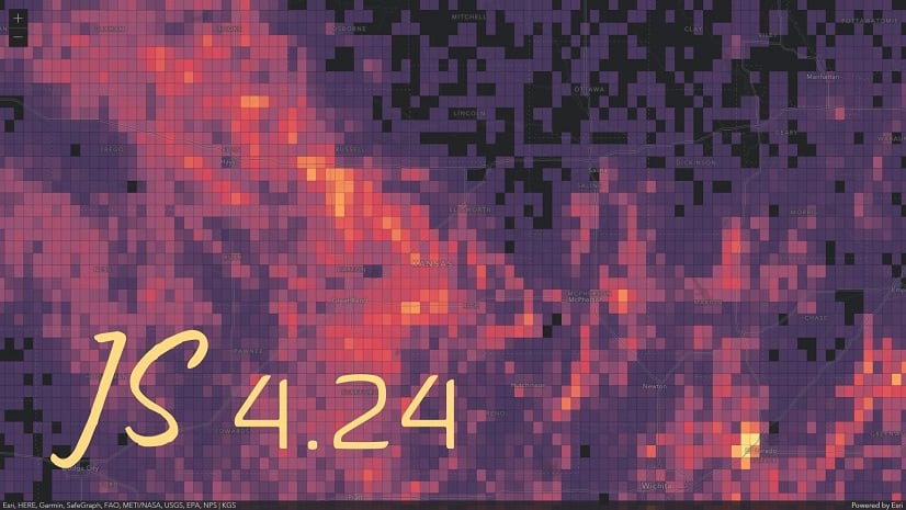
What’s new in ArcGIS API for JavaScript (version 4.24)

Image and video overlays, pie chart layer style, faster heatmaps, client-side binning, rain and snow effects in scenes, and lots more.

Continue Reading

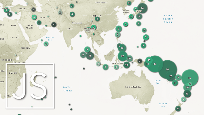
What’s new in ArcGIS API for JavaScript (4.23)

Version 4.23 offers the ability to go between basemaps with different spatial references, 3D heatmaps, a new editing experience and a lot more.

Continue Reading

What’s new in the ArcGIS API for JavaScript (version 4.22)

This is a packed release! Realistic weather for 3D scenes, animated streamlines, better cartography, key updates to GeoJSON layers, and more.

Continue Reading

What’s new in the ArcGIS API for JavaScript (version 4.21)

This API update includes performance improvements, control over feature drawing order, better snapping, WGS84 support in local scenes, and more.

Continue Reading

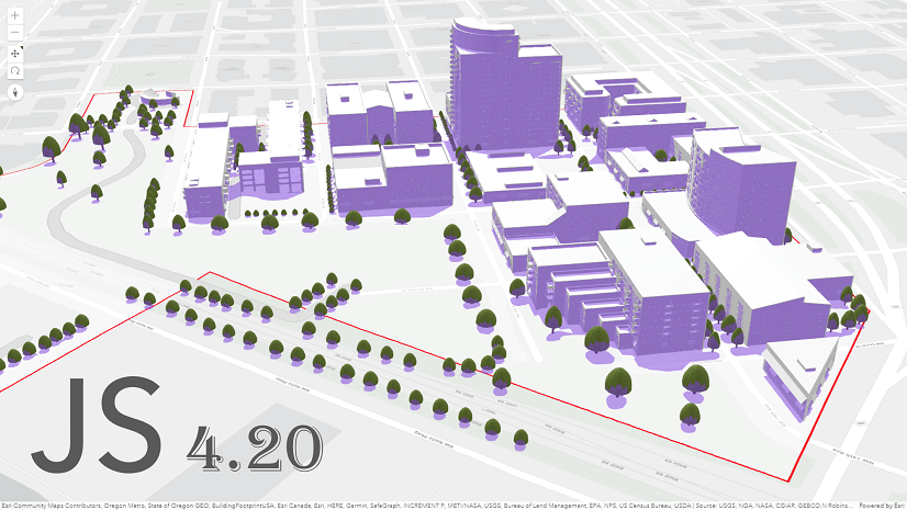
What’s New in ArcGIS API for JavaScript (version 4.20)

Version 4.20 brings WFS 2.0 support, shadow analysis, analysis layers, initial support for utility networks, and more.

Continue Reading

1 2 3 4 7