The introduction of GPS services has changed our world completely. The signal has reached all sectors of human life to fulfill all kinds of purposes, ranging from cartography, astronomy and tracking environmental disasters to robotics and locating one’s pet. While GPS has therefore contributed massively to explore and conquer the outdoor world, indoor spaces remain vastly uncharted.
This is mostly due to a severe line-of-sight obstruction, resulting in GPS signals being too weak to render reliable indoor positioning results. In fact, in some places you won’t be able to receive any signal at all.
If you want to enable accurate indoor location, a different approach to technology must be taken. Up until now, no single technology could be established as a standard, so multiple different methods are competing on the market today.
The technologies can be roughly categorized into those based on signals of opportunity, on pre-installed infrastructure and others. Signals of opportunity include e.g. WiFi and the earth’s magnetic field. Beacons on the other hand are a great example of hardware infrastructure that must be deployed – other examples would be UWB (Ultra Wide Band) and infrared systems.
While ArcGIS Indoors has the most expertise with Beacon-powered indoor location technology, it follows an agnostic approach and can work with other leading technology providers.
In this blogpost, we want to introduce you to the most popular and often used indoor location technologies.
BLE Beacons
Indoor positioning based on BLE Beacons, falls under the category that uses pre-deployed infrastructure. These technologies are usually more cost-intensive than others, but also achieve better positioning results.
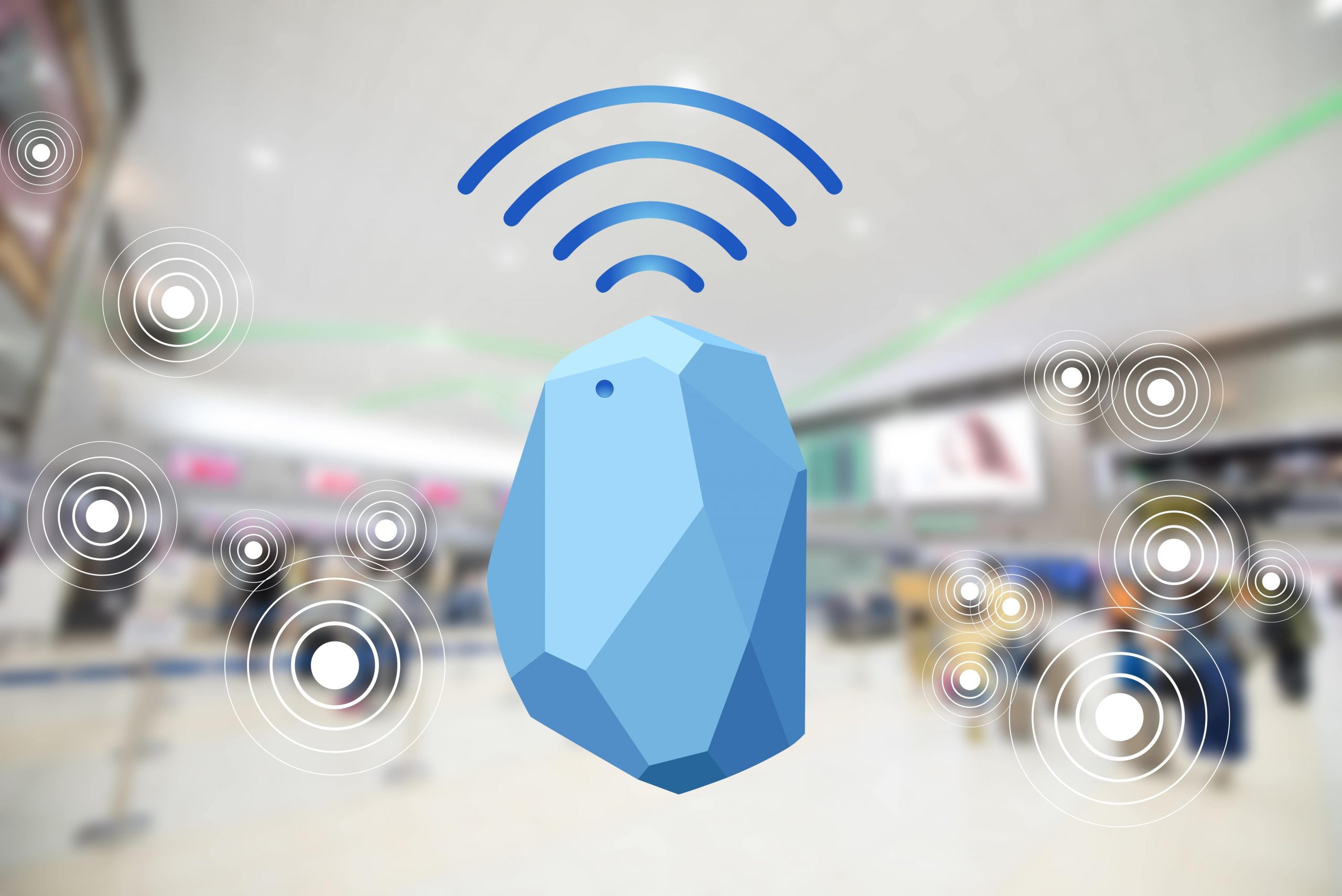
Bluetooth Low Energy Beacons are small radio transmitters that are mounted on the inside walls of a building. They are one-way communicators and send out a signal about their position to Bluetooth enabled devices in their proximity. Their range varies depending on the type of Beacon and can be 1-150 meters (3.2 – 492ft).
A Beacon is a relatively simple construct with a compact design. It contains a lithium battery, CPU and radio and fits into the palm of a hand. To allow a mobile phone to pick up a positioning signal from the Beacon, it must have a location-enabled app installed. This could be any kind of app endorsed by the building management, such as an airport app at a specific airport, a hospital app, or shopping mall app (to name just a few examples).
If the mobile comes into range of a Beacon, it then picks up the signal and can compute its own position inside the building. A blue dot visualizes this real-time position on a map inside the application.
Beacon powered indoor positioning is one of the two standard methods ArcGIS Indoors uses based on its long-term expertise with it and the high–quality results it produces.

For more information on BLE Beacons, how they work and what they can and cannot do, please read our blogpost “What are BLE Beacons?”.
WiFi
WiFi is one of the most convenient ways to enable indoor location technology. That is because the infrastructure is usually already in place and you don’t need to install any additional hardware.
In terms of accuracy, WiFi ranges between 5-15 meters (16-49 ft), which is lower than the achievable accuracy using BLE Beacons and VLC. Depending on your use case, this may not be an impediment though. For instance, if you just need to determine which room a specific asset is located in, this level of accuracy may be enough. However, if you need precise positioning for wayfinding, another technology may be more suitable.
WiFi–based positioning is the other of the two standard positioning systems, ArcGIS Indoors supports.
Magnetic field fingerprinting
This technology uses the earth’s magnetic field and its irregularities to determine indoor positions. More precisely, a magnetometer detects the variations in the magnetic field. Creating a fingerprint database of these, allows you to estimate indoor positions. The more irregularities, the more unique a fingerprint will be, resulting in higher positioning accuracy.
The main advantages of existing-signal based indoor positioning technologies are the relatively wide coverage and lower costs. However, just like with WiFi, accuracy of the positioning results is relatively lower in this case too. This is due to signal interferences that can be caused by electronic devices and ferromagnetic materials in the indoor environment.
Visible Light Communication (VLC)
A VLC system uses the visible light spectrum to communicate and transmit information. It consists of two main components, i.e. light emitting diode (LED) transmitters and photo diode (PD) optical receivers. VLC can be integrated into the existing lighting infrastructure inside the building. Devices that are equipped with light sensors can receive the signals and turn them into location information. These optical receivers can be as simple as a mobile computer or standard smartphone camera.
If a smartphone comes into vicinity of a transmitter it decodes the LED position and calculates its own position accordingly. While VLC systems can achieve positioning accuracy down to 30cm, in order for it to work, the lights have to be on and a clear line of sight between the lights and the sensors needs to be granted.
Currently, magnetic field fingerprinting and VLC are not supported by ArcGIS Indoors yet, but it is planned that they will be in the near future.
Unfortunately, there is no one perfect indoor location solution out there. Factors like your budget and type of use case will play a decisive role in choosing the right technology. If you would like to learn more about indoor location technology powered by Esri, please visit ArcGIS Indoors or get in touch with one of our experts.


Article Discussion: