This piece of content is no longer being maintained and may reference events in the past or product features that have changed.
As you may already know, Esri is hosting a “StoryMapper of the Year” competition. In fact, I’m hoping that you’re reading this during a brief break in your ongoing effort to produce a beautiful, compelling story with ArcGIS StoryMaps to enter into the competition! If not, I hope you’ll be inspired by this post, and by our contest website, to enter the competition.
If you’re just hearing of the contest for the first time, here are the highlights:
- Create a stunning story map made with the new ArcGIS StoryMaps
- Submit it before our deadline of December 15
- Wait with bated breath to learn whether you’ve won the grand prize: $5,000 for your community
My team will review all the contest submissions, then we’ll pass on the top 25 stories to our panel of esteemed judges. We’re thrilled to have recruited three highly experienced and thoroughly qualified individuals as guest judges for the contest.
Although our guest judges come from very different backgrounds, it’s hard to imagine three people more qualified to judge a story maps contest than James Fallows, Michael Goodchild, and Alex Tait. The very best story maps inevitably incorporate three elements: storytelling, geography, and cartography. Our judges encompass—and in fact personify—all three realms.
Storyteller
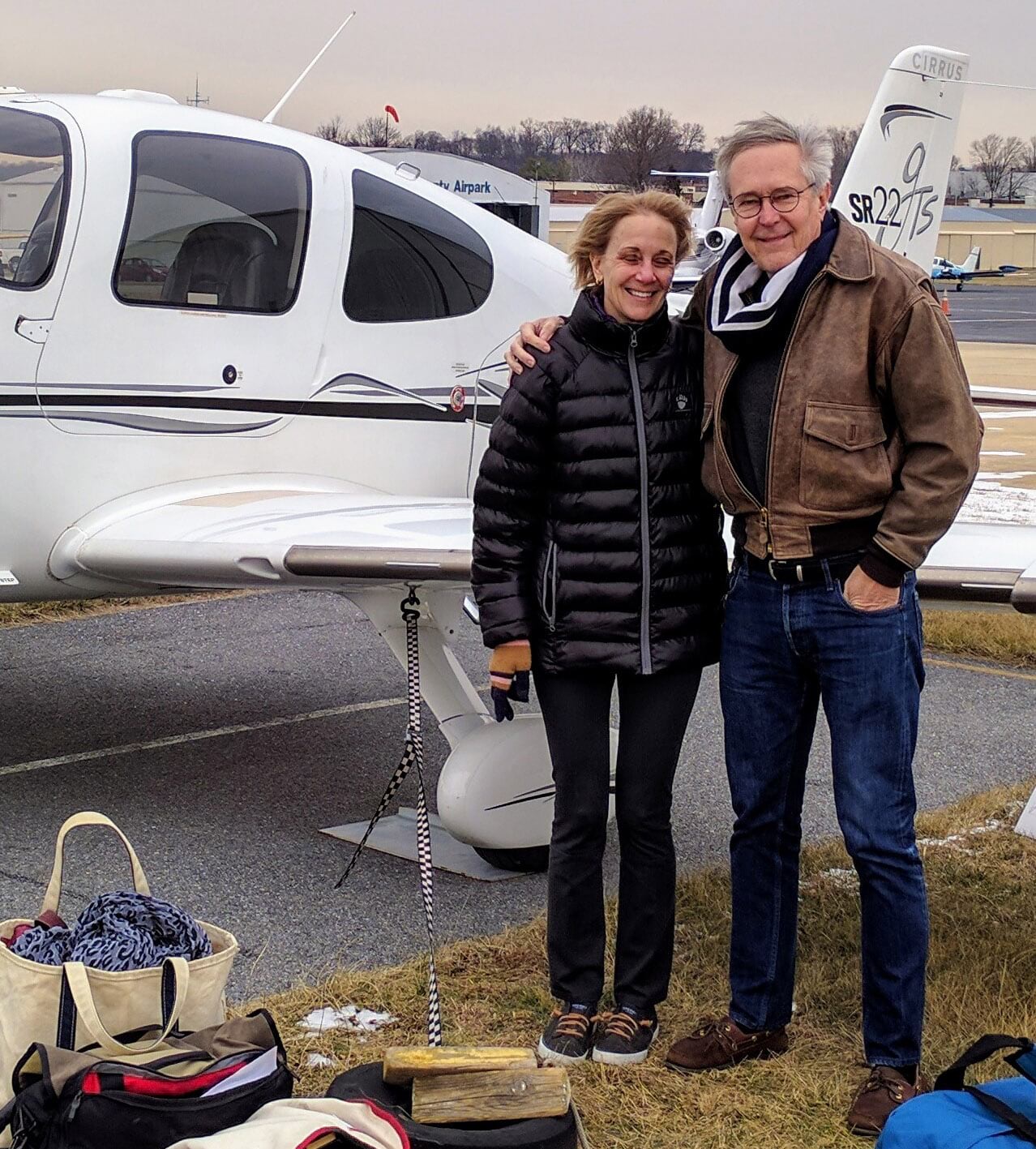
James Fallows has been telling stories for The Atlantic magazine for four decades. Jim spent his childhood years in Redlands, California—coincidentally the location of Esri’s headquarters. He studied at Harvard University, where he edited its daily newspaper, the Harvard Crimson, and then went on to Oxford University as a Rhodes Scholar.
When Jimmy Carter became president in 1977, Jim became senior speechwriter at the White House. He left in 1979 to become Washington editor for The Atlantic. Although he has been associated with The Atlantic ever since, he has produced articles and commentary in many magazines and other media, as well as serving a two-year stint as editor of U.S. News and World Report. He has authored or co-authored 10 books, has won a National Book Award and a National Magazine Award, and has accumulated a number of honorary degrees.
And as if that weren’t enough, Jim is a licensed pilot. Between 2013 and 2018 he and his wife, Deborah, flew their personal plane to many small cities across the country, documenting their insights in Our Towns, a refreshingly optimistic look at the success of businesses and governments in building and maintaining vital communities at the local level.
Geographer
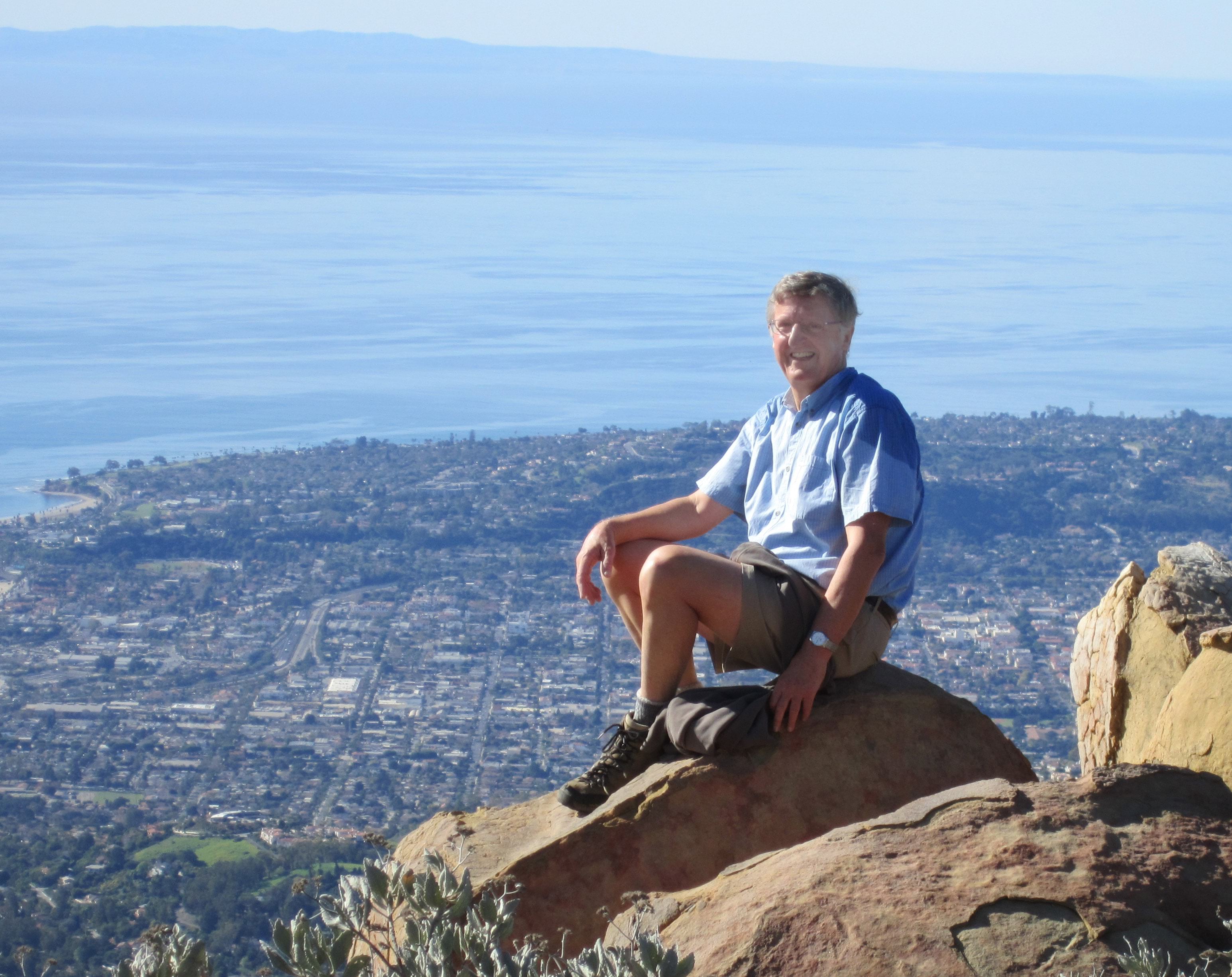
Michael Goodchild, professor emeritus at the University of California, Santa Barbara, has distinguished himself as one of the world’s leading academic geographers. Born in England, Mike did his undergraduate work at Cambridge University before moving to Canada for graduate studies at McMaster University. After nearly two decades on the faculty of the University of Western Ontario, he joined the geography faculty at UCSB in 1988.
Recognizing the increasing importance of GIS and other spatial technologies, he published a paper in 1992 suggesting a new realm of inquiry: geospatial information science. Thanks to that seminal paper, he is known as “the father of geospatial information science.” Mike has been a pioneer in the study of a second realm: that of VGI, or volunteered geographic information, which has become important in many areas, including disaster response and in maintaining a vast, shared street map of the world.
Along the way Mike has garnered a host of honors, including five honorary doctorates and membership in the American Academy of Arts and Sciences. He has published more than a dozen books and over 500 articles. And, by the way, he’s an avid spelunker.
Mapmaker
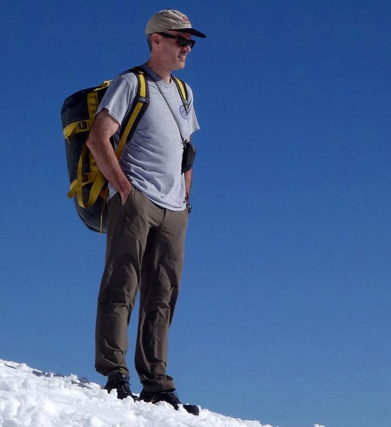
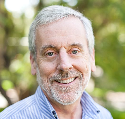
Alex Tait has an enviable title at the National Geographic Society: The Geographer. But cartography is Alex’s driving passion. He discovered that passion as a boy, hiking the woods and mountains of the Adirondacks with his dad. Alex interned at National Geographic right out of Dartmouth College—and worked with me on the Society’s Historical Atlas of the United States, a book about which we both remain quite proud. After returning to the academic realm—this time the University of Wisconsin for a master’s in geography—Alex founded Equator Graphics, where his projects ranged from mapping the U.S. Naval Academy to plotting rock climbing locations.
For close to 14 years Alex created maps that were used in arguing border cases in world courts. His creations helped resolve disputes in distant lands, among them Sudan, South Sudan, Equatorial Guinea, Nigeria, and Cameroon. Meanwhile, he continued to do gigs now and then with Nat Geo, creating maps of Pakistan, Arlington National Cemetery, and Mount Washington.
In 2016 he returned full-time to National Geographic as The Geographer. Earlier this year he spent several grueling weeks in the Himalayas, helping to produce the most detailed map ever created of the world’s highest glacier, as documented in this story map, Mapping Everest.
___________
Clearly, you can rest assured that the story you submit to our competition will be reviewed by three of the most eminent and experienced sets of eyes in the entire realms of storytelling geography, and mapmaking.
Once our judges have chosen the finalists, we’ll invite the public to cast votes to determine the winner and runners-up.
The deadline for submissions—December 15—is fast approaching. Remember: the contest is limited to stories produced using the new ArcGIS StoryMaps. Enter now!


Commenting is not enabled for this article.