Every utility has infrastructure that provides service to its customers. This infrastructure includes many assets that need to be managed and maintained to provide the best service. This responsibility is given to staff in the operations department. They are a very important part of the organization. As demand for services increases, operators need to do more work with fewer funds and often with a smaller workforce.
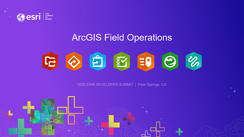
A modern geographic information system (GIS) incorporates many advancements that help workers in remarkable ways. ArcGIS has many applications specifically designed for operations. These apps work together to lift common workflows—like inspection, maintenance, and capital construction—into a more streamlined process. Advanced technologies add powerful capabilities to make apps user-friendly and efficient. They save time and improve safety awareness.
To discuss these capabilities, the Esri infrastructure team hosted a three-part webinar series focused on how GIS technology can help electric, gas, water, and telecommunications agencies. The webinars focused on three topics:
- Improving inspections and maintenance
- Optimizing capital work
- Transforming fieldwork with advanced technologies

Improving Inspections and Maintenance
In the first webinar, the team discusses the importance of fieldwork, and the challenges performing inspections and maintenance. Prioritizing work, scheduling crews, and sharing results are necessary to keep the system running.
ArcGIS provides easy-to-use mobile applications that transform paper-based processes into digital workflows. Crews routinely receive assignments, navigate to work sites, and update their status. With ArcGIS apps, those tasks become easier. Smooth workflows and convenient ways to gather data are enabled with apps like ArcGIS Survey123 and ArcGIS Collector. These field applications make it easier for employees and contractors by eliminating paperwork and saving time. By capturing information right at the worksite, errors are reduced and delays are virtually eliminated.
When assets are inspected, crews may likewise find issues that need additional follow-up. ArcGIS QuickCapture makes swift work of logging observations. Safety and effectiveness demand that staff also understand how assignments relate to their work environment. As they work, field crews collect data about their work: inspections, maintenance, as-built information capture, and more. This data feeds web maps and apps, providing information to those who need it in real-time. ArcGIS reaches out across the web and puts the right information into the right hands, at the right time.
Access to data enables effective work planning and scheduling. In the first webinar, you will see how managers can use ArcGIS Workforce to plan, assign, and manage work more effectively. ArcGIS Dashboards gives managers a way to quickly monitor work progress and ensure that targets are met. Real-time coordination of resources and work assignments help address changes and decrease response time.
Optimizing Capital Work
The second webinar looks at how operators in the field play a role in optimizing capital projects. Because large capital construction projects rely on detailed information, communication becomes critical. Field crews need access to the latest reference maps to work safely and tie new infrastructure into the overall system. If they encounter problems in the field, ArcGIS Web AppBuilder gives field staff a convenient way to redline maps and plans, providing feedback to engineering and highlighting their concerns.
As construction begins, the project can be tracked in real time, providing incremental progress updates to everyone who needs to know. Capturing as-built information as it is discovered accelerates a workflow that used to take weeks or months. Information about projects can be shared via dashboards, web apps, and maps; easily communicating plans and progress to executives and customers. Public-facing information is a game changer, reducing phone calls and project interruptions.

Transforming Fieldwork with Advanced Technologies
The team wraps up the series by examining advanced technologies that support field operations. Technologies discussed include voice commands, bar codes, automated notifications, artificial intelligence, imagery, and 3D visualization:
- Voice commands and voice recognition help staff leverage their skills and knowledge by minimizing repetitive tasks.
- Bar code scanning for asset tracking and traceability enables organizations to confidently identify equipment and its location. Smart apps know where employees are working without them typing in their activities.
- Automated notifications can alert employees about what is near their location. This includes protected habitat areas, angry customers, or dangerous animals. Modern apps alert them in real-time.
- Artificial intelligence can save countless hours of time spent reviewing imagery, allowing staff to focus on what is most important.
- Three-dimensional visualization helps personnel understand field conditions in the real world. ArcGIS is fully integrated with 3D visualizations from all kinds of data. Sources range from CAD designs in engineering to as-built points collected at the time of equipment installation. Field staff improve job planning and training using 3D—while staying clear of site hazards.
Advanced technologies are uncovering safer, faster, and easier ways to accomplish field tasks. New tools present innovative ways to be more productive and leverage staff skills and knowledge. Technology has made many things in our world easier. Fieldwork is no exception.
When field processes are digital, all staff see the same data, at the same time, with no delay. Crews work quickly with the same information that engineering, customer service, and dispatch staff use. Even more importantly, what happens in the field becomes immediately available to the organization. When data is shared this way, ArcGIS becomes a platform for safe, efficient field operations and real-time business intelligence.
If you missed any part of the Field Operations webinar series or just want to see it again, go to GeoNet. View recorded webinars, see PowerPoint presentations, and review the Q&A document.
If you have any questions, please contact Pat Hohl or Christa Campbell. We are always here to help.


Article Discussion: