The Esri User Conference (UC) is going virtual this year from July 13th to July 16th. While we won’t be able to replicate the same experience as the in-person event, the events team has organized a variety of ways that we can connect with you, including a virtual showcase with one-on-one meetings and chat rooms. We have also prepared a collection of technical sessions that will cover best practices and explore some of our latest innovations for building powerful and engaging web apps with the ArcGIS API for JavaScript. The virtual technical sessions will be divided into two categories: streaming live and on-demand. Let’s start by looking at the streaming live sessions.
Streaming live technical sessions with Q&A
Streaming live sessions with Q&A offer a 45 minute pre-recorded presentation followed by 15 minutes of interactive question and answer time with the presenters and other members of the JavaScript development team. While you watch the recording, you can also interact with the presenters via chat. The JavaScript API streaming live sessions with Q&A we’re offering are:
ArcGIS API for JavaScript: What’s New and the Road Ahead
Wednesday, July 15, 2:50 pm – 3:50 pm PDT
Learn about the latest advances in the ArcGIS API for JavaScript. This session will include an overview of several important updates in the API as well as some of the smaller but useful capabilities that you may not have noticed. You’ll also get a sneak peek at some of the key functionality planned for 2020.
Client-side analytics with the ArcGIS API for JavaScript
Monday, July 13, 2:50 pm – 3:50 pm PDT
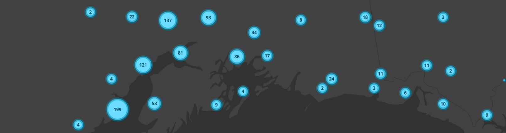
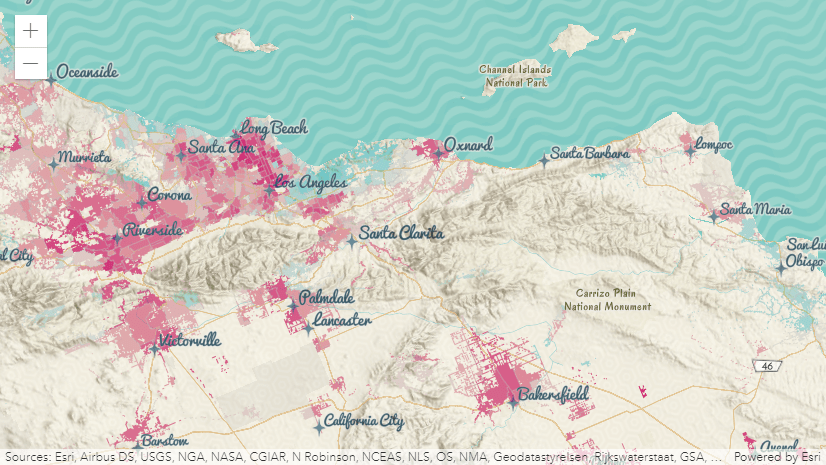
In this session you will learn about strategies for working with complex data interactively on the client. We’ll demonstrate the performance benefits of the ArcGIS API for JavaScript’s new client-side technology such as client-side queries, layers, filters and effects, and cover programming patterns specific to client-side programming. Finally, we’ll discuss time awareness as well as CSV and GeoJSON client-side layers in both 2D and 3D.
3D Visualization with the ArcGIS API for JavaScript
Wednesday, July 15, 7:30 am – 8:30 am PDT)
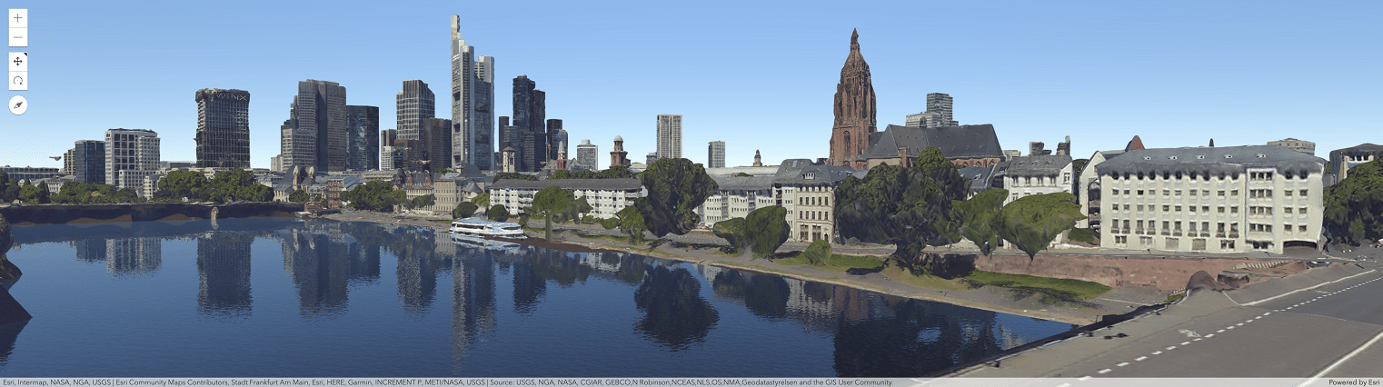
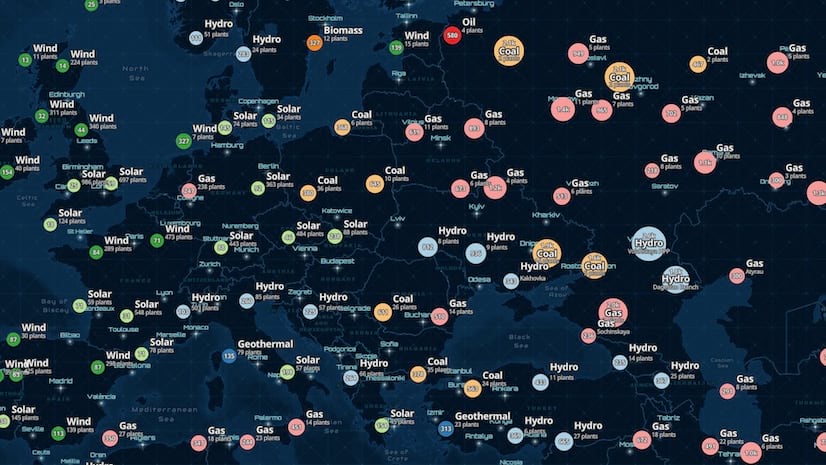
In this session, we’ll focus on building web apps that visualize data in 3D. We’ll dive into the various symbol types and visual variables and demonstrate how they interact with renderers. You’ll learn cartographic techniques unique to 3D and see several demos showing how to thematically visualize 2D features with 3D symbols. We’ll also provide an overview of how to visualize data in layers specific to 3D views.
2D Visualization with the ArcGIS API for JavaScript
Wednesday, July 15, 8:40 am – 9:40 am PDT
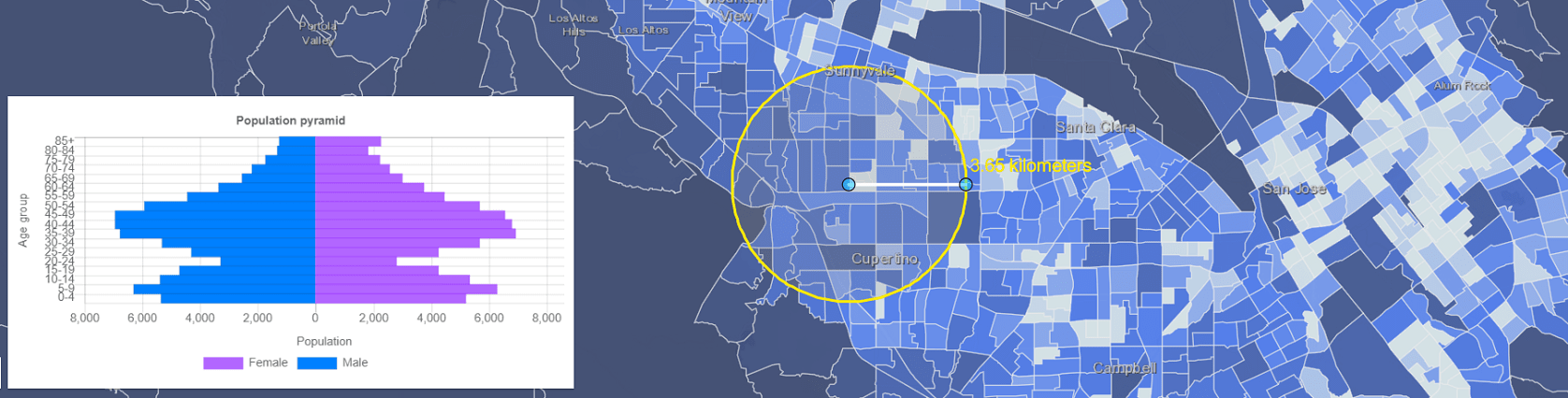
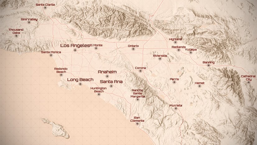
The JavaScript API lets you build powerful interactive mapping applications. Learn how you can turn your raw data into information that tells a story with simple 2D data-driven visualizations. This session will provide an overview to the various visualization techniques available in the API specific to 2D vector data.
You might also be interested in the following sessions covering ArcGIS Online topics, for example:
- ArcGIS Online: Best Practices for Working with Hosted Layers
- ArcGIS Online: Q&A with the Product Team
- Best Practices for Publishing ArcGIS Online and ArcGIS Enterprise Services
- ArcGIS Online: The Road Ahead
On-Demand technical sessions
The on-demand sessions are pre-recorded 30 to 60 minute presentations, which will be published at the start of the conference.
- ArcGIS API for JavaScript: Web Editing in 2D and 3D
- Getting Started with Web Development and the ArcGIS API for JavaScript
- Understanding Accessibility: Learn How to Design, Test and Develop Accessible Apps
- Working with Feature Layers in the ArcGIS API for JavaScript
UC Showcase
Within the web developer’s virtual showcase, you’ll have a number of options for interacting with the JavaScript API development team. There will be an open chat area, and you’ll be able to schedule one-on-one meetings with members of the team.
Virtual showcase hours are as follows:
Monday, July 13, 2020
12:05 PM – 3:45 PM
Tuesday, July 14, 2020
7:30 AM – 9:40 AM
11:10 AM – 3:45 PM
Wednesday, July 15, 2020
7:30 AM – 9:40 AM
11:10 AM – 3:45 PM
Post-conference
This year, hands-on, full day pre-conference sessions will be held after the main conference. You must be registered for the Esri User Conference to attend the post-conference seminar, and there is an additional registration step and fee.
Building Stunning Web Apps – This workshop walks you through all of the steps to build amazing web apps. It includes discussion on best practices for UX planning and design, front-end architecture, performance and scalability considerations, and GIS data visualization.
And there’s more!
UC Plenary – This year there will be a three-part virtual plenary over three days. The plenary sessions begin at 10am PDT each day of the virtual UC. Be sure to visit the UC Plenary page to learn about each section.
Esri Services virtual appointments – these appointments are free and they offer an excellent way to get guidance and feedback for designing, implementing, and optimizing your geospatial solutions from Esri staff who have extensive experience with building applications.


Article Discussion: