April 2024
Ørsted has long used GIS technology in constructing and operating wind farms. A new geodatabase is helping centralize every step of the process.
Ørsted has long used GIS technology in constructing and operating wind farms. A new geodatabase is helping centralize every step of the process.
The Tip
You can add, share, and manage many types of items in ArcGIS Online, including photos and images. Here's how.
 Environmental
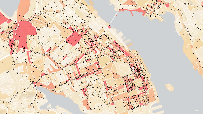
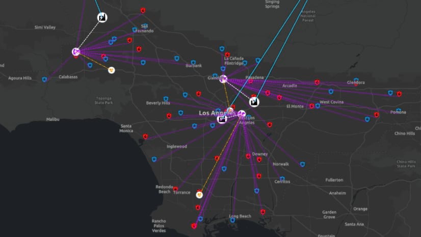
With 3D visualization, the EPA can better understand and respond to groundwater contamination in LA County and beyond.
 Mapping
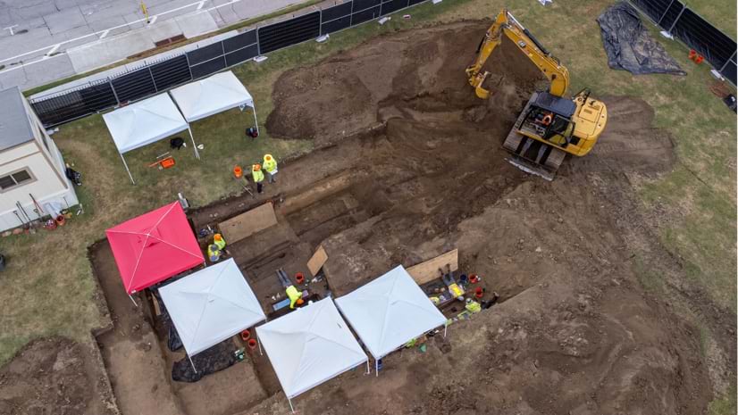
Esri senior writer Karen Sullivan discusses the legacy of forgotten black burial grounds and the initiative to document them.
 Utilities
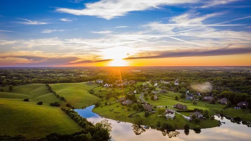
Explore how ArcGIS technology empowers companies to grasp and navigate the impacts of rural broadband deployment.
 Esri Press
Explore the endless possibilities of interactive web mapping with this forthcoming title from Esri Press.
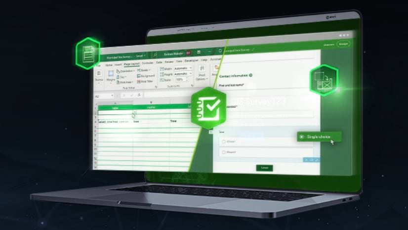 ArcGIS Survey123
This no-cost training seminar explores Survey123 Connect’s capabilities and demonstrates how to build a sophisticated data collection.
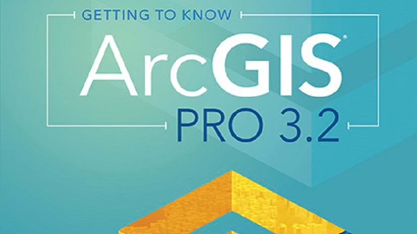 ArcGIS Pro
Check out this forthcoming Esri Press title that shows readers how to build a geodatabase, use 3D GIS, create maps for presentations, and more.
 ArcGIS StoryMaps
Enrich your stories and engage interested readers with optional media and map views.
 ArcGIS Online
Check out how to use clustering and binning features in Map Viewer with the latest updates.
 ArcGIS Online
You've been busy adding items for others in your organization to use. Here's how to prevent accidental deletion of those items.
 AEC
AEC
Learn how Dawood Engineering designed and developed a web-based GIS portal to manage construction inspection projects.
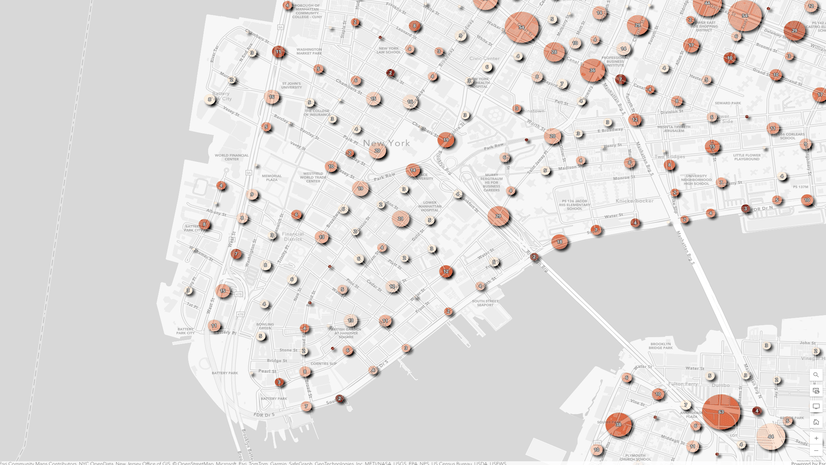
 ArcGIS Living Atlas of the World
Check out this dashboard tracking the adoption of electric vehicles in the U.S. from 2016 to 2022.
 Mapping
Jack Dangermond and National Geographic Society CEO Jill Tiefenthaler discuss technology and the power of storytelling.
 ArcGIS Online
Cartography is about the words on your map as well as colors and symbols. Learn to create clear layer names in ArcGIS Online in this video.
 Esri Training
For My Esri License Administrators, this no-cost web course introduces your responsibilities, plus how to download and license software.
 ArcGIS Knowledge
Learn foundational concepts, terminology, and workflows to perform graph analysis using ArcGIS Knowledge.