Cool Maps
A collection of maps that use the Esri Mapping Platform to show how solutions can be enriched with the power of location.

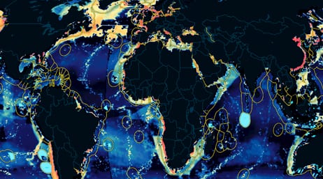
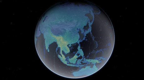
These web applications let you take a close-up look at science topics and observations around the world.
Cool Maps

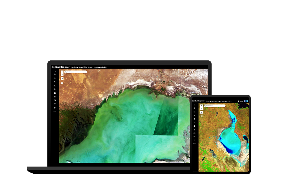
Landsat Explorer
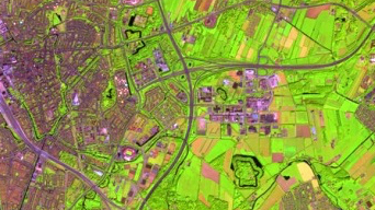
Sentinel Explorer
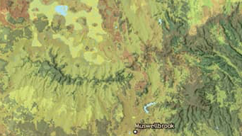
World Imagery Wayback
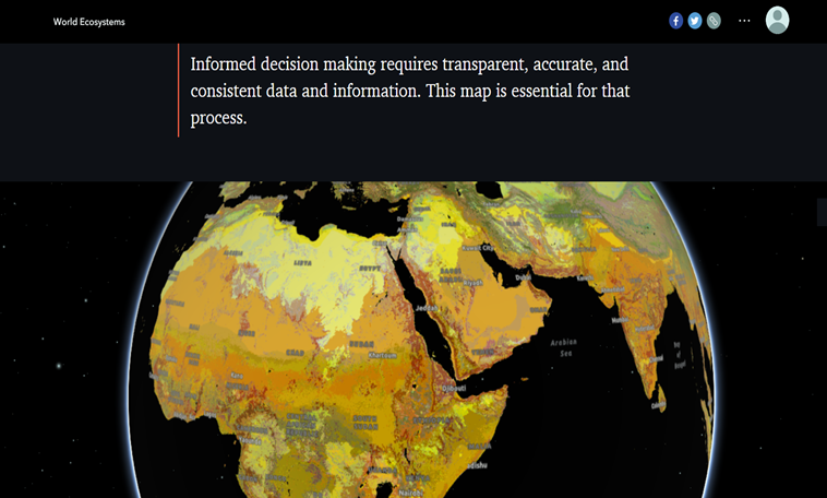
Ecological Tapestry of the World
Ecological Marine Unit Explorer
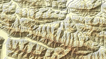
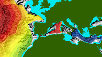
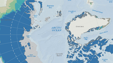
Arctic DEM Explorer
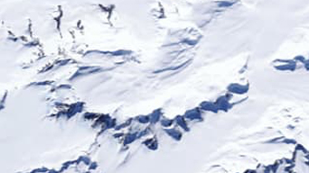
Antarctic REMA Explorer
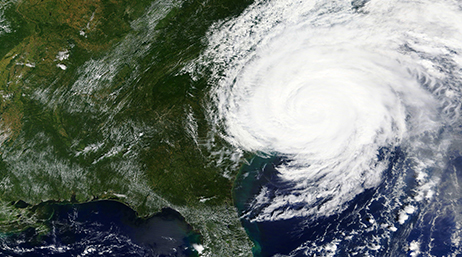
Hurricane Aware
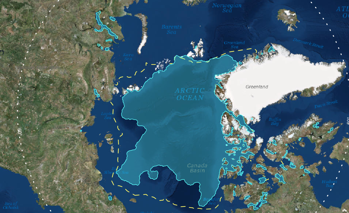
Sea Ice Aware
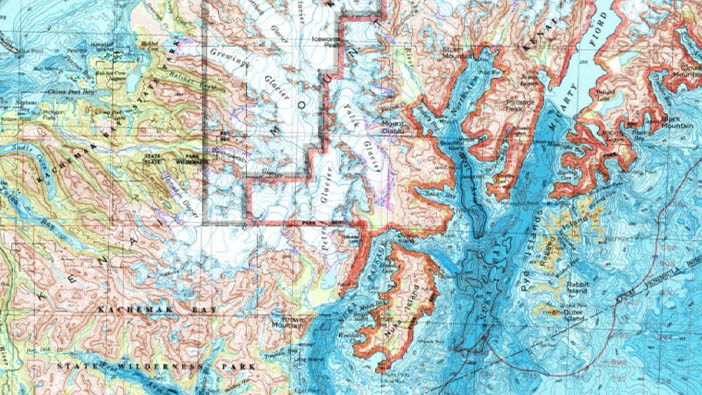
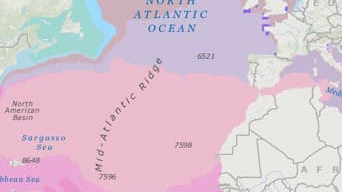
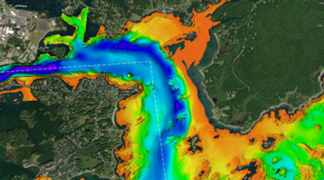
Topobathy Explorer

Manhattan Population Viewer
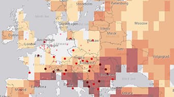
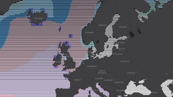
European Climate Adapt Viewer

Explore Mars
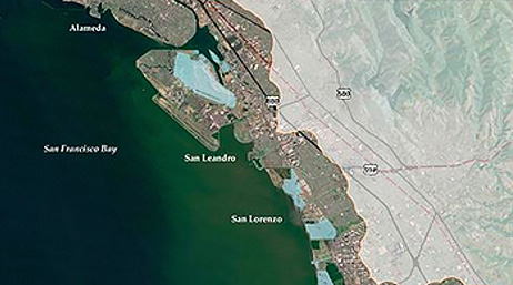
US High Tide Flooding Probability Scenarios
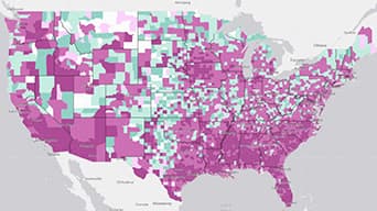
These applications allow you to view or perform online analytics on a variety of science subjects.
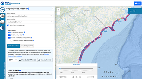
Distribution Mapping and Analysis Portal
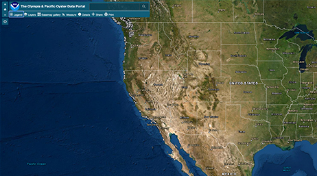
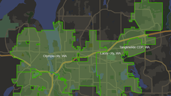
Olympia and Pacific Oyster Portal
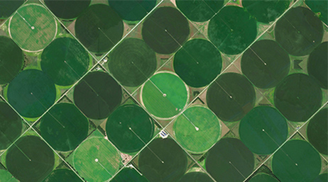
CroplandCROS
Water Balance App
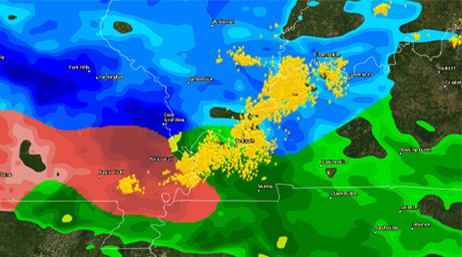
US Precipitation Forecast
Drought Aware

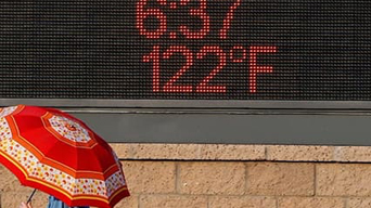
Heat Waves
Future Heat Events
Heat Events and Social Vulnerability
Cumulative Exposure to Climate Change
Intact Habitat Near Me
How Green Is Your Community?
Policy Maps
SSURGO Downloader
Sea Level Rise and Critical Infrastructure
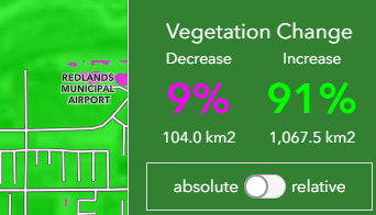
Interactive Vegetation Change Mapping

Viewshed Analysis
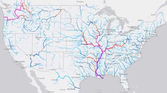
National Water Model
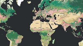
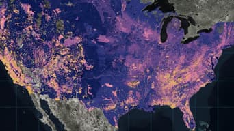
Compare Global Land Cover Change
The Climate Explorer
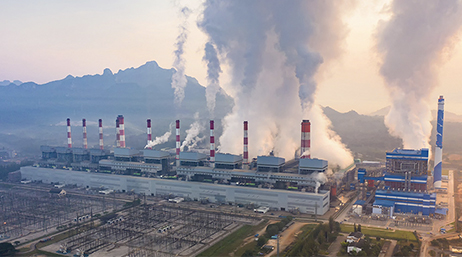
These applications increase the use and value of scientific projects and environmental management strategies by providing near real-time displays for monitoring instruments, events, or activities, oftentimes for at-a-glance decision-making.
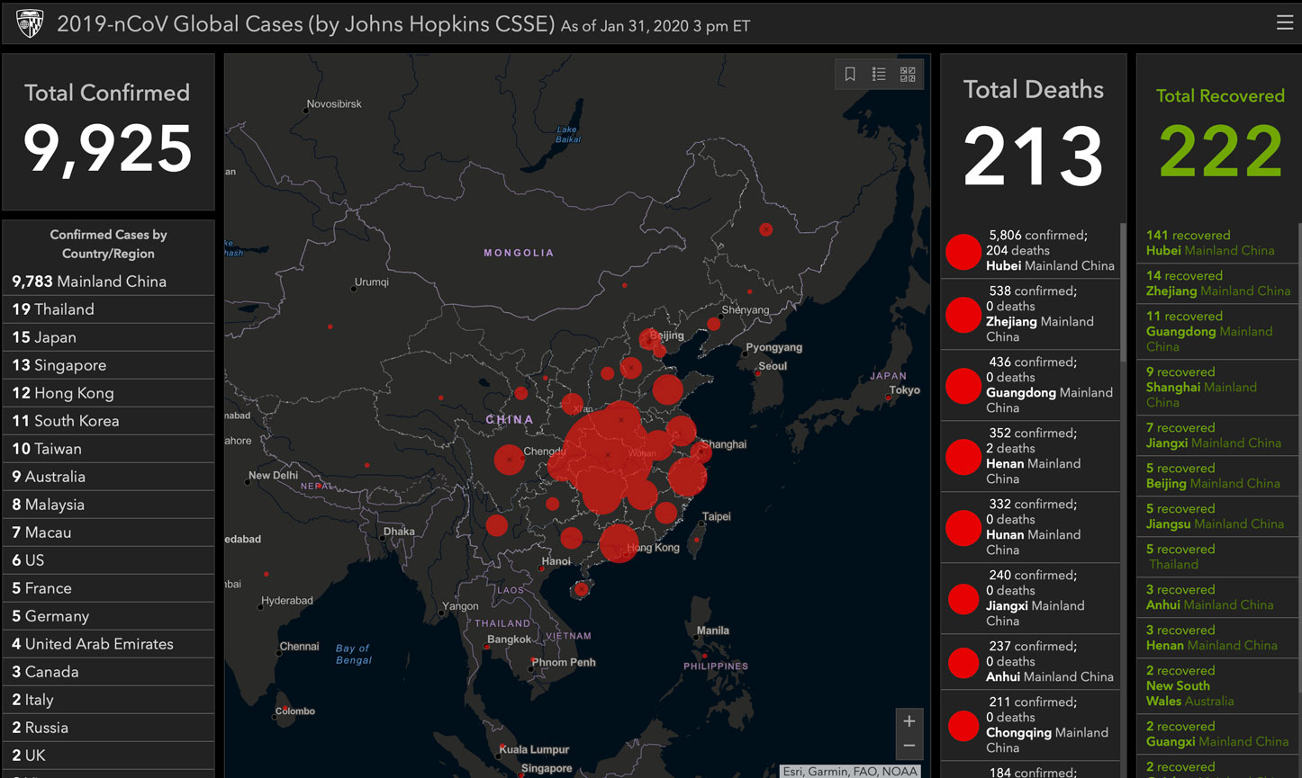
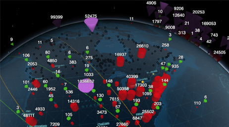
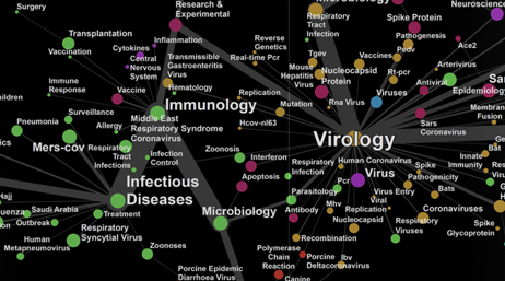
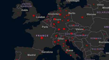
Coronavirus COVID-19 Global Monitoring
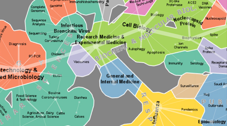
The Science of Coronavirus
WHO Novel Coronavirus Situation
ICAO Coronavirus Web Globe
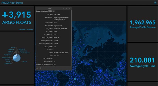
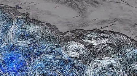
Argo Float Status
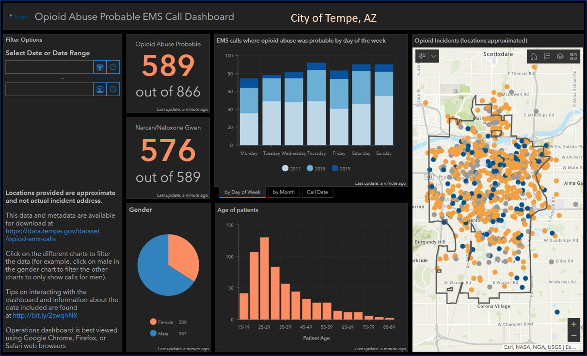
Tempe Opioid Abuse Probable EMS Call
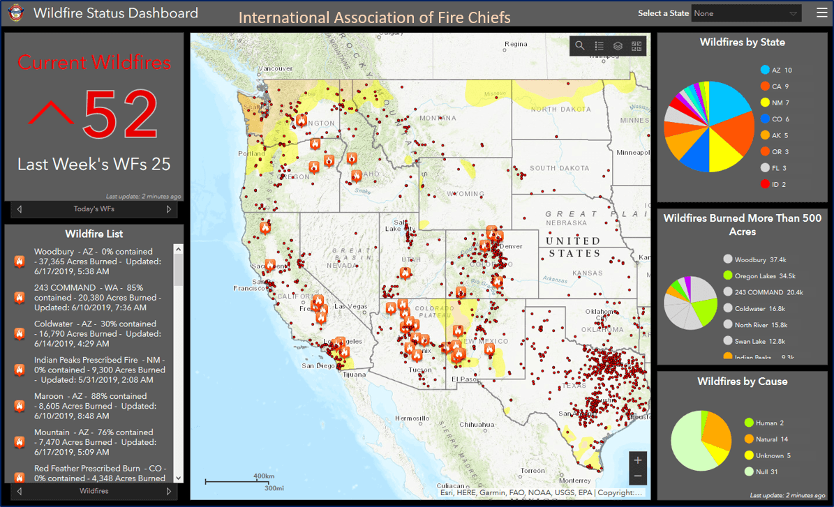
Wildfire Status Dashboard

USDA Forest Inventory Analysis
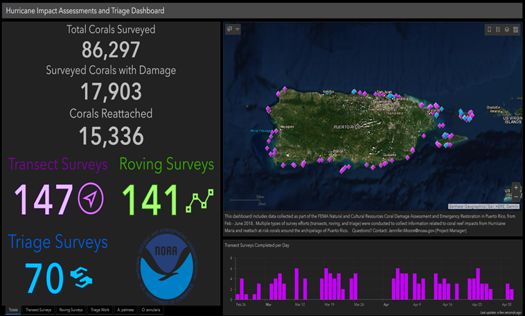
Hurricane Impact Assessments and Triage Dashboard

Batman Villains
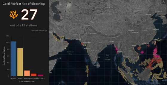
Coral Reefs at Risk of Bleaching
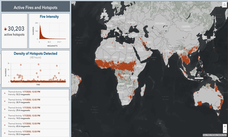
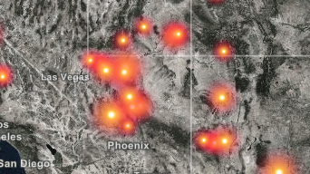
Global Active Fires and Hotspots
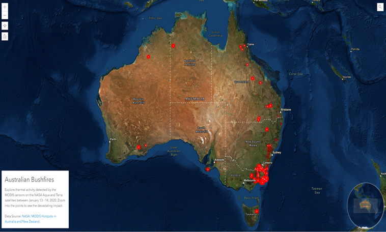
Australian Bush Fires
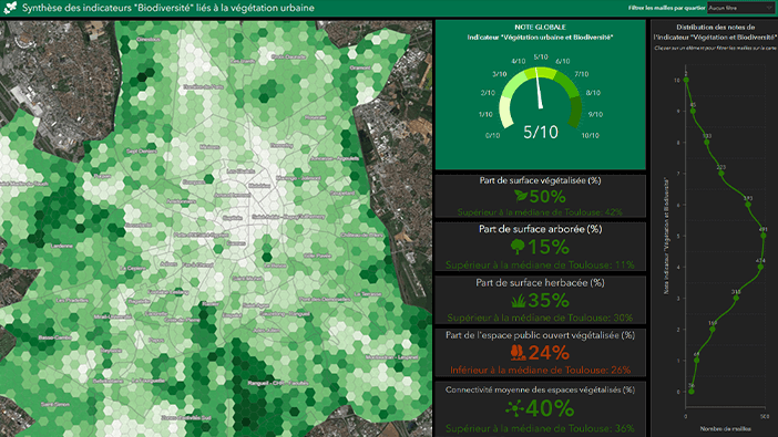
Summary of "Biodiversity"
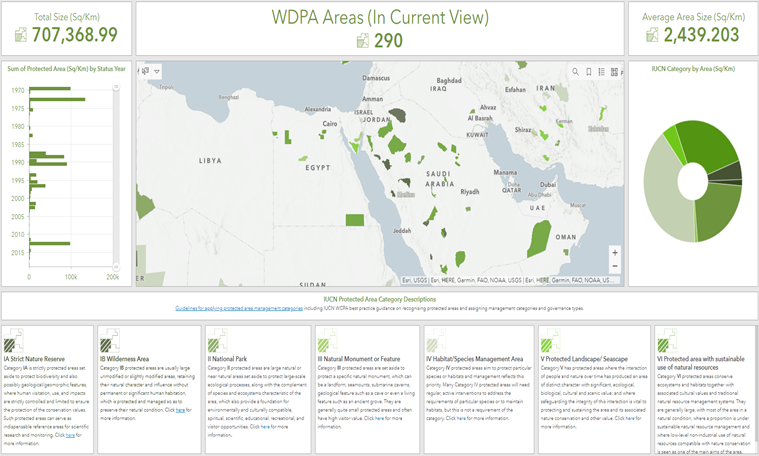
World Database of Protected Areas
Differential Privacy in the US Census
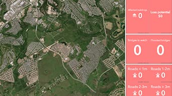
Austin, TX Onion Creek Flooding Simulation
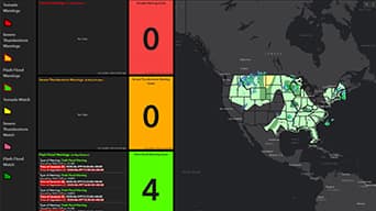
National Weather Service SAFER Dashboards
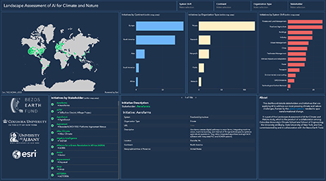
Landscape Assessment of AI for Climate and Nature
ArcGIS StoryMaps and Esri Story Maps let you combine authoritative maps with narrative text, images, and multimedia content. They make it easy to harness the power of maps and geography to tell your story. Check out these science-themed stories.
Provisional State of the Global Climate 2022
Protecting our pristine seas

Addressing the Climate Crisis
COVID-19 Trends for U.S. Counties
The Half-Earth Project
Speaking the "Language" of Spatial Analysis
USA Wildfires
Extreme Heat

Global Heat Action Plans
Action Landscapes
Urban Adaptation Map Viewer
DTN WeatherOps GIS Catalog
The Nature Conservancy Conservation Gateway

Mission Blue Hope Spots
Nature and Environment

KAZAVA Project

National Geographic Explorer Stories
Earthly Stories
ECCO dashboard
Coronavirus SoS
Geospatial technology. Mapped.
What is Under the Ocean’s Hood?
Permafrost in a changing Arctic
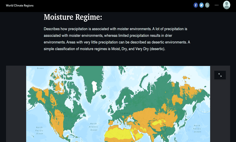
World Climate Regions
Accelerating Agricultural Research
World Terrestrial Ecosystems
NASA Products for the Australian Fires 2019/2020
Spatial Analysis and Differential Privacy
Killer Heat in the United States
Ecological Marine Units
Explore a Tapestry of World Ecosystems
An Ocean of Story Maps
ArcGIS Hub brings open data, web apps, dashboards, StoryMaps, and more into one online platform to help science organizations engage and collaborate more effectively with their communities.
UNH/CCOM-JHC GIS Portal
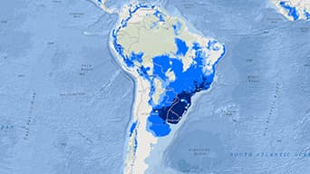
Geospatial Conservation Atlas
Unstable Ground

The Deep Ocean Observing Strategy (DOOS)
Alaska Coastal Mapping Strategy

GIS for Climate

Oceans
Global Earth Challenge

Indexing Critical Coastal Infrastructure

Mapping the Deep with Deep Sea Dawn
Esri COVID-19 GIS Hub

HHS Protect Public Data Hub
SCDHEC hub