Distributed Collaboration

Empower the homeland security enterprise with mapping and data sharing

Red and orange shaded map of Manhattan, officers looking at a digital map

Simplify data sharing to support agency missions

Share information with other organizations through Esri's distributed collaboration technology to extend the reach of the homeland security enterprise. With increased access to information, it is essential to have a way to manage and share geospatial content with others and strengthen intra- and interagency collaboration.

Capabilities for distributed collaboration

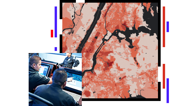
Create workflows for agency collaboration

Leverage GIS to establish a multiagency workspace, and share topical or event-based data across the homeland security enterprise. A GIS portal is a multitenant content management system that enables interagency collaboration. Using a secure, web-based platform, manage data and assets and connect end users with useful information products.

Search and rescue personnel with helmets and walkie talkies standing on a shoreline, overlaid with the title of National Search and Rescue Geospatial Coordination

Create an open data site and catalog

Build a repository that provides data to secure groups or the open public domain. Support the collection, sharing, and protection of data across multiple levels of government and in the public domain. Provide a common foundation for visualization, analysis, and application development. Make your data easy to download to support any mission within the homeland security mission.

The swirling clouds of a hurricane seen from above with a banner for the FEMA Geospatial Resource Center webpage

Enable government-community interaction

Create an information-sharing hub site and transform how agencies and communities engage and collaborate with one another. Share data, create websites, organize around initiatives, and inspire action. GIS connects people, processes, data, and technology.

Map dashboard for a Community Asset Portal with a city map scattered with map points alongside a legend

Create repeatable workflows and models

Give analysts the tools they need to connect data and capture agency tradecraft and knowledge in repeatable models. Enable saving and sharing of analytic and problem-solving processes that are flexible and adaptable, to assist with investigation or any security situation.

Digital map and chart

ArcGIS StoryMaps story

Intelligence community collaboration portal

The IC GIS Portal, mandated by the director of national intelligence as a "service of common concern," is a critical geospatial collaboration platform

Read about the IC GIS Portal

Products

Previous
Next

Contact sales

Contact us

Outside the United States