Electric Utilities

 A vertical concentration map in orange and gray, a server room in vivid blue and white, and a person in safety gear holding a tablet beside a wind turbine

The electric utility industry is in motion. Electric utilities face changes in every area of their business as they work hard to adapt to and leverage digital technology. In the struggle to remain relevant and thrive, electric utilities are turning to ArcGIS for the latest in utility mapping and spatial analysis.

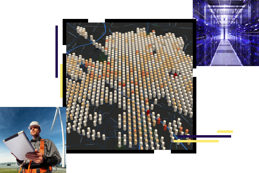
ArcGIS Utility Network for digital utilities

The ebook, Successful Digital Utilities Enabled by Modern Network Information Management, explores how utility organizations are leveraging modern network information management to meet the demands of a modern digital utility.

A smiling person wearing an orange safety vest and hard hat holding a tablet with an electric tower in the background

Electric utilities business areas

Explore all initiatives
Previous
Next
Explore all initiatives

Esri International IMGIS

Attend Esri’s International Infrastructure Management GIS (IMGIS) Conference April 15–17, 2026, in Frankfurt, Germany.

Discover geospatial solutions for infrastructure’s biggest challenges. Join industry thought leaders, Esri experts, and GIS users to explore how to enhance workflows across industries—from utilities and telecommunications to architecture, engineering, and construction—using spatial analysis and new GIS capabilities.

A presenter leading a GIS tutorial at a conference

Contact sales

Connect with the Esri electric utilities team