The Next Era of AI and ArcGIS
Esri has made strong progress in developing AI tools, models, and assistants. Now, agentic AI is extending GIS beyond traditional users.
Esri has made strong progress in developing AI tools, models, and assistants. Now, agentic AI is extending GIS beyond traditional users.
While AI can process information at unprecedented scale, geography gives that information meaning. GIS professionals know this intuitively.
It was clear what was on everyone’s mind: enterprise GIS, low-code and no-code app building solutions, developer tools, and geospatial AI.
Learn more about AI in ArcGIS, check out ArcGIS Pro Shorts for quick tutorials on key tools, and see what innovation award Esri won.
The explosive growth of data centers and AI workloads has changed how power is consumed, planned, and priced—and these maps show it.
The City of Starke, Florida, transitioned from analog processes to a digital-first approach—without going over budget.
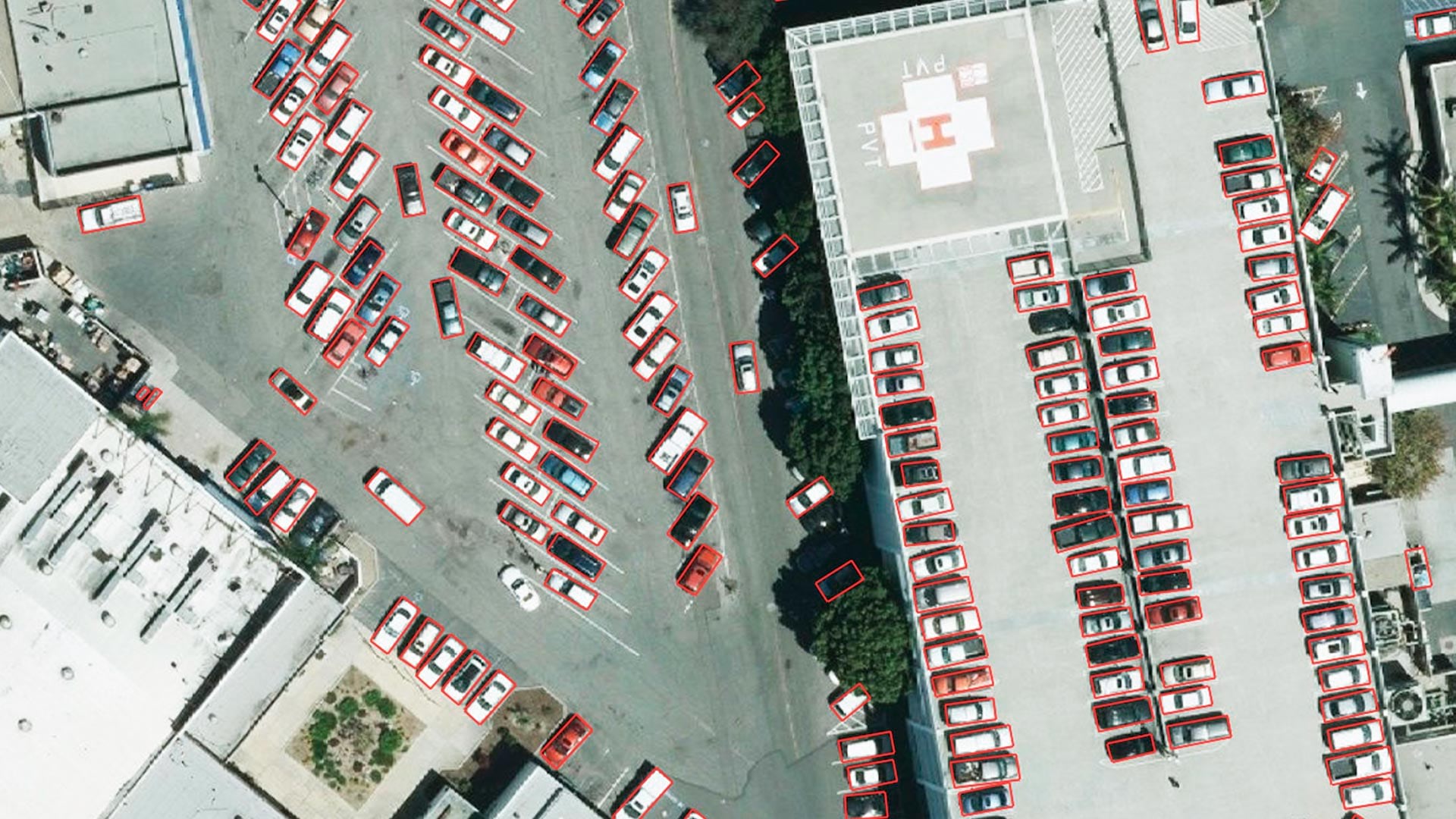
Tucked in ArcGIS Living Atlas of the World, they are ready to extract features and classify pixels from imagery and other geospatial data.
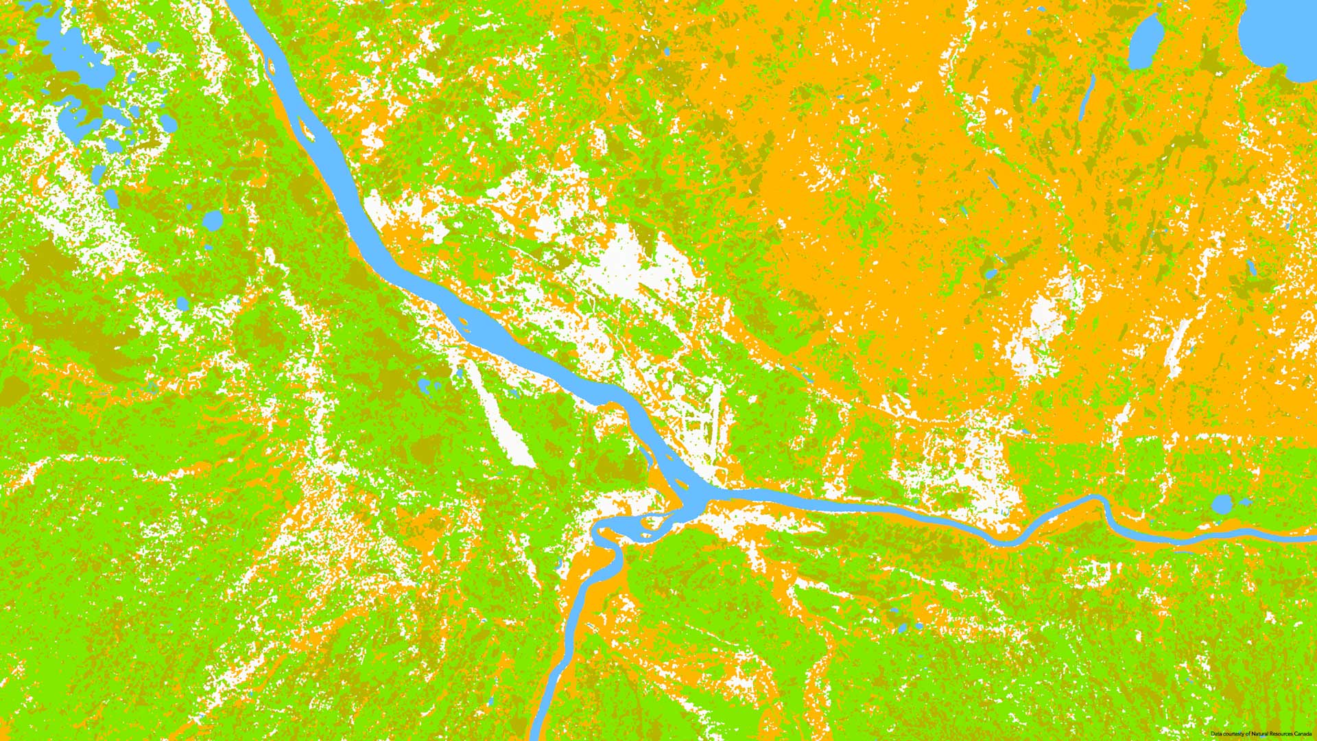
The rapid progress of AI has produced a new type of model that promises to revolutionize Earth observation—and Esri is at the forefront.
Gabriel Ortiz has devoted his life to geography and technology. He and his team in Cantabria, Spain, use GIS to innovate at new scales.
Breakthroughs in AI are making careers in geography more exciting, essential, and impactful than ever before.
Find out about AI in GIS, geospatial workflows for security operations, how to work with imagery and remote sensing data, and more.
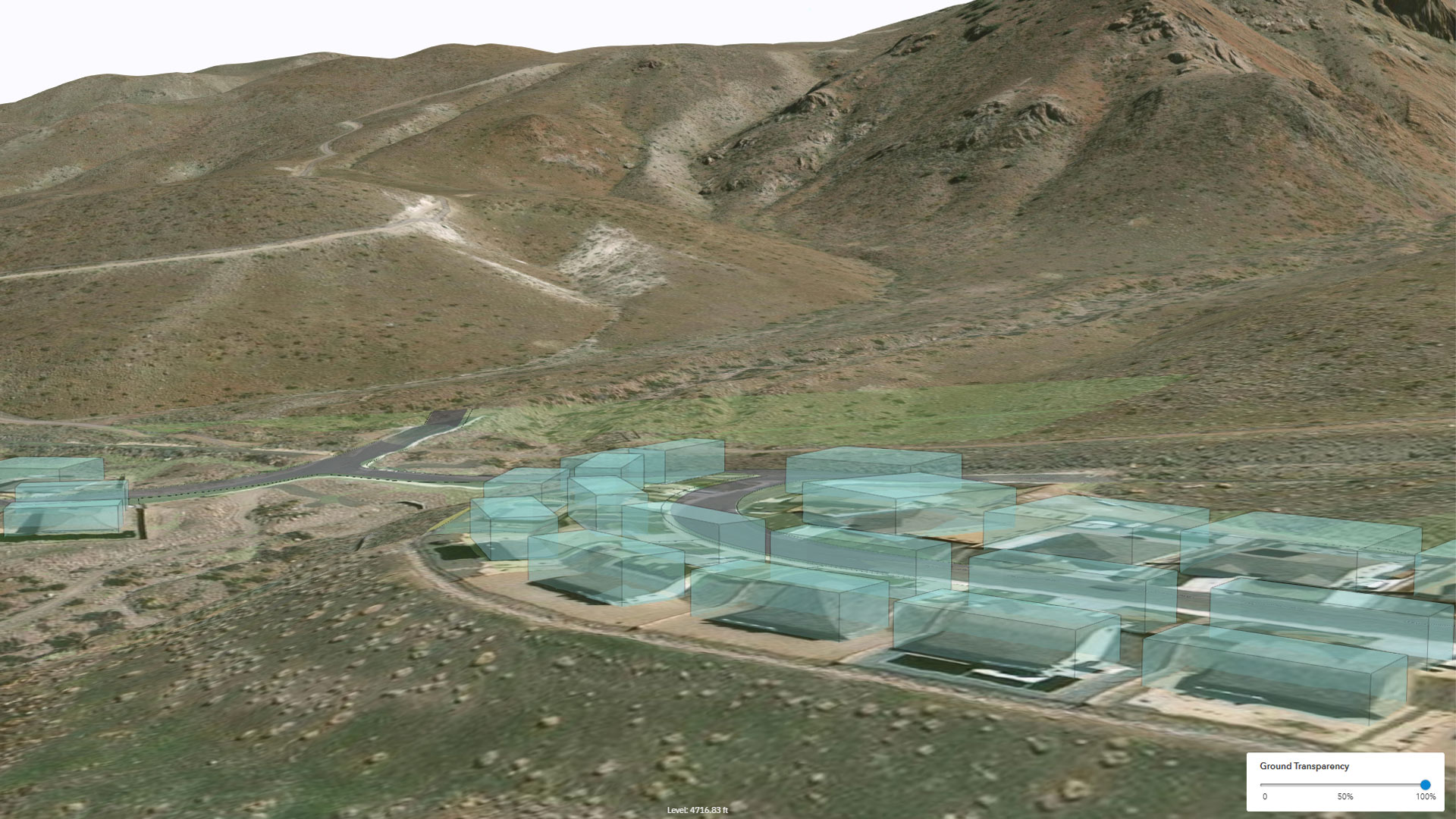
The design platform built by Esri Startup program graduate Allsite.ai produces digital twins of city-size construction projects.