Then and Now
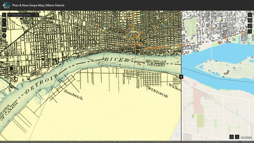
Create a comparison swipe map using the USGS Topo Map Explorer and ArcGIS Living Atlas data.
Create a comparison swipe map using the USGS Topo Map Explorer and ArcGIS Living Atlas data.
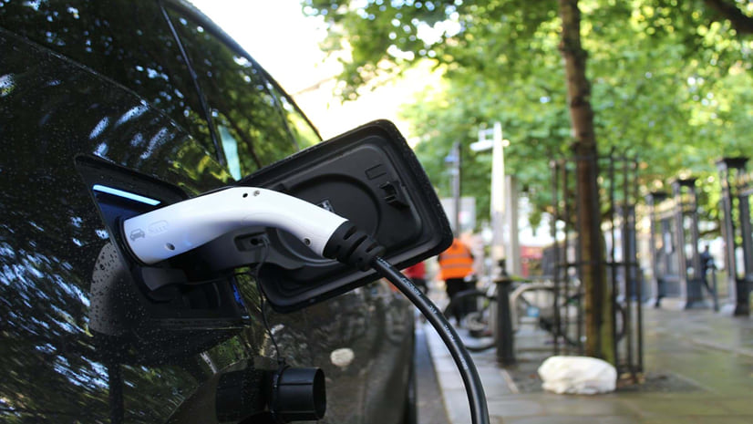
Check out this dashboard tracking the adoption of electric vehicles in the U.S. from 2016 to 2022.
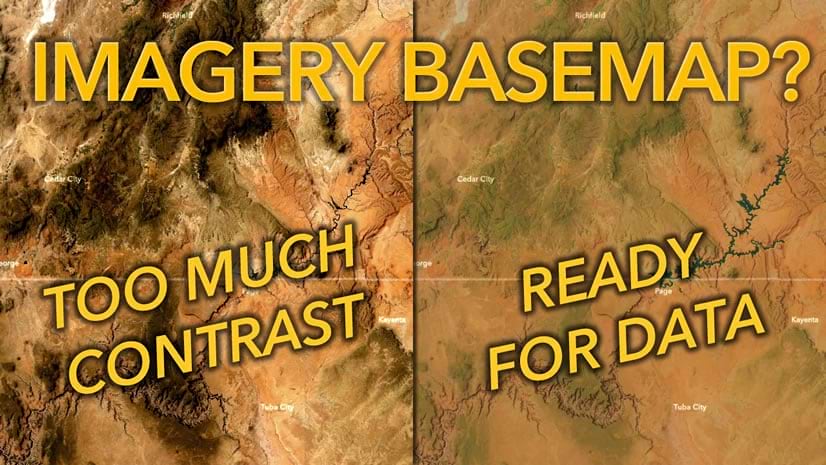
Imagery basemaps are lovely and provide unparalleled context. But that detail can be troublesome.
After five years, the World Imagery Wayback app has a fresh new look. Check it out now.
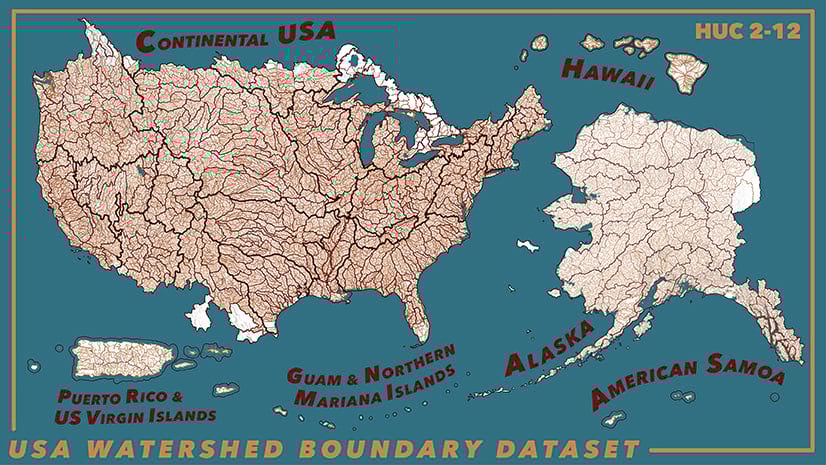
Check out the updated data from the Watershed Boundary Dataset, now available in ArcGIS Living Atlas of the World.
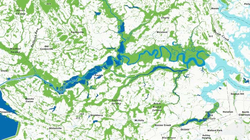
Check out this National Wetlands Inventory that provides a comprehensive map of the wetlands of the United States.
This year, Esri is adding 3D Basemaps to its existing collection of online, ready-to-use basemaps. You can help make them better.
Check out this color card reference layer for exploring and understanding the visual effects of blend modes in any map.
Check out citizen voting age population by race and ethnicity layers and content, now available in ArcGIS Living Atlas.
Learn how to leverage the many different types of content from ArcGIS Living Atlas of the World to improve your mapping knowledge.
Experience the difference high-quality field descriptions can make in your maps.
The socioeconomic status of communities can be analyzed using GIS, empowering decision makers to deliver resources to underserved communities.