displaying 262 results
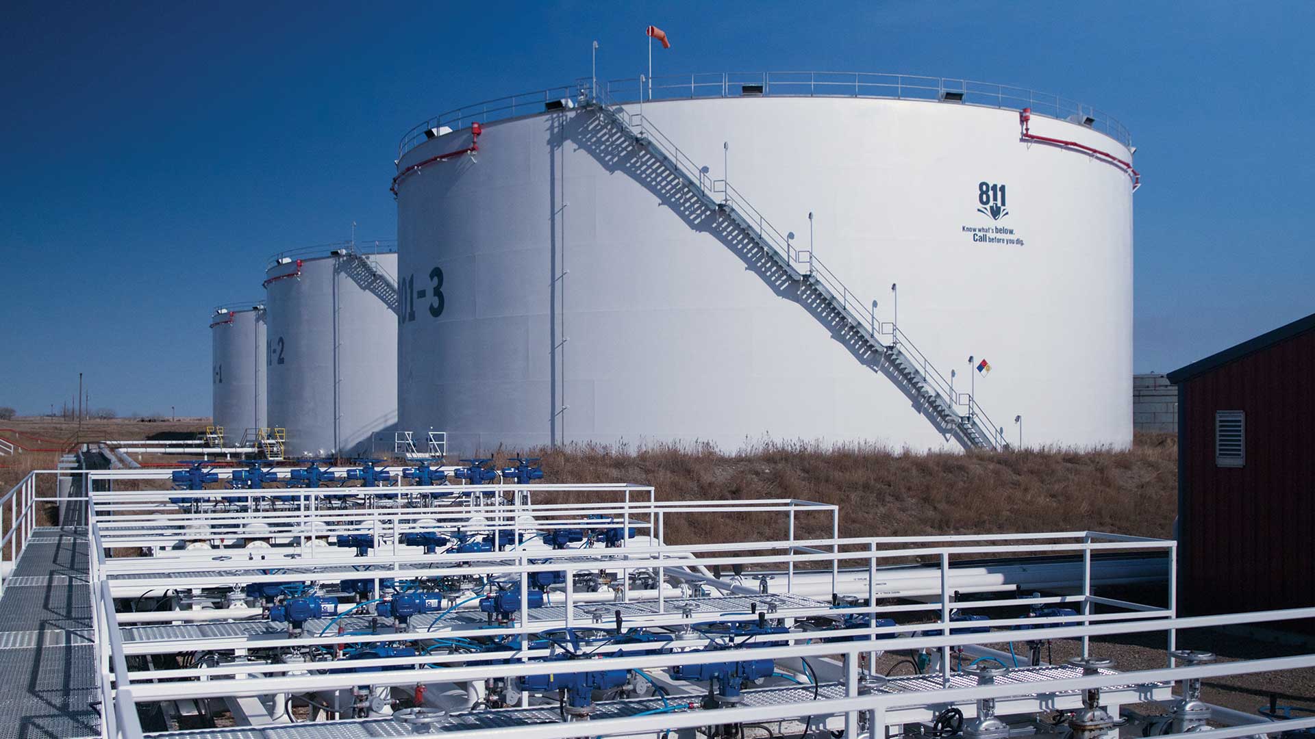
Crestwood uses the ArcGIS platform to manage crude oil, natural gas, and natural gas liquids.
California’s Fair Maps Act takes cues from the Dolores Huerta Foundation to ensure district maps match the demographic makeup of a community.
Generate ideas on how to solve climate change, equity, and poverty: Enter the ArcGIS StoryMaps Competition for Sustainable Development Goals.

Big Four advisory firm KPMG looks to enrich strategic guidance with location intelligence drawn from GIS technology.

COVID-19 vaccines will be distributed through a global cold chain that is inherently inefficient. Location intelligence will be key.

At a top engineering, design, and technology professional services firm, one director sees firsthand the value location analysts deliver.
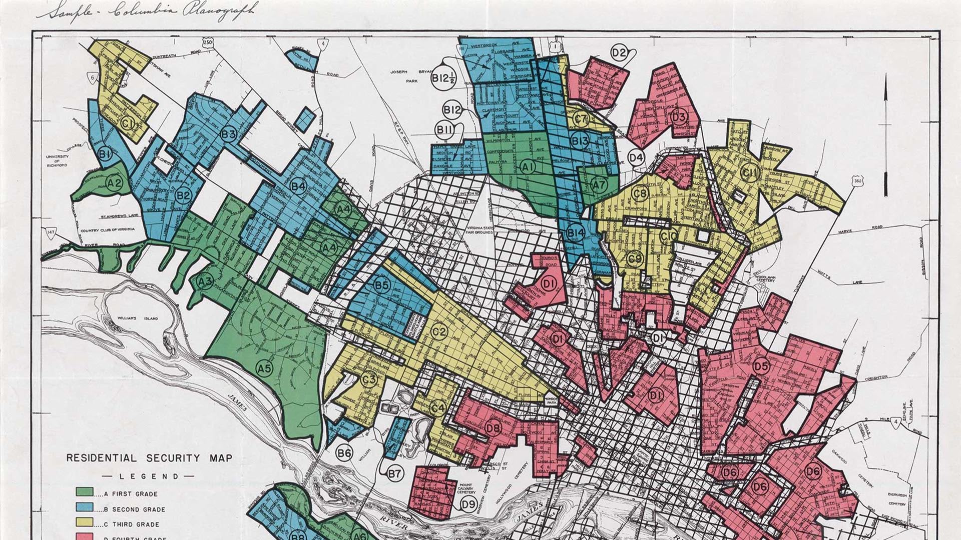
This article explores the environmental legacy of redlining policies from the 1930s in several cities.
James Rattling Leaf brings data and science together with traditional ecological knowledge, using GIS to foster tribal climate resilience.
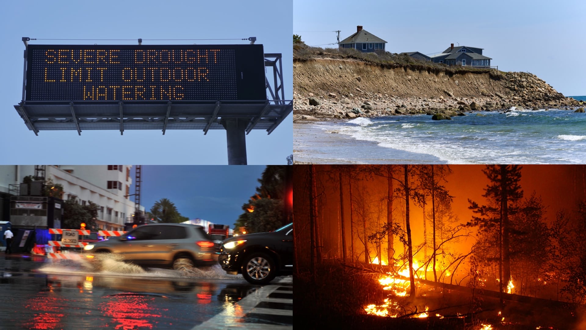
The White House’s Climate Mapping for Resilience and Adaptation Portal integrates information for building climate resilient communities.
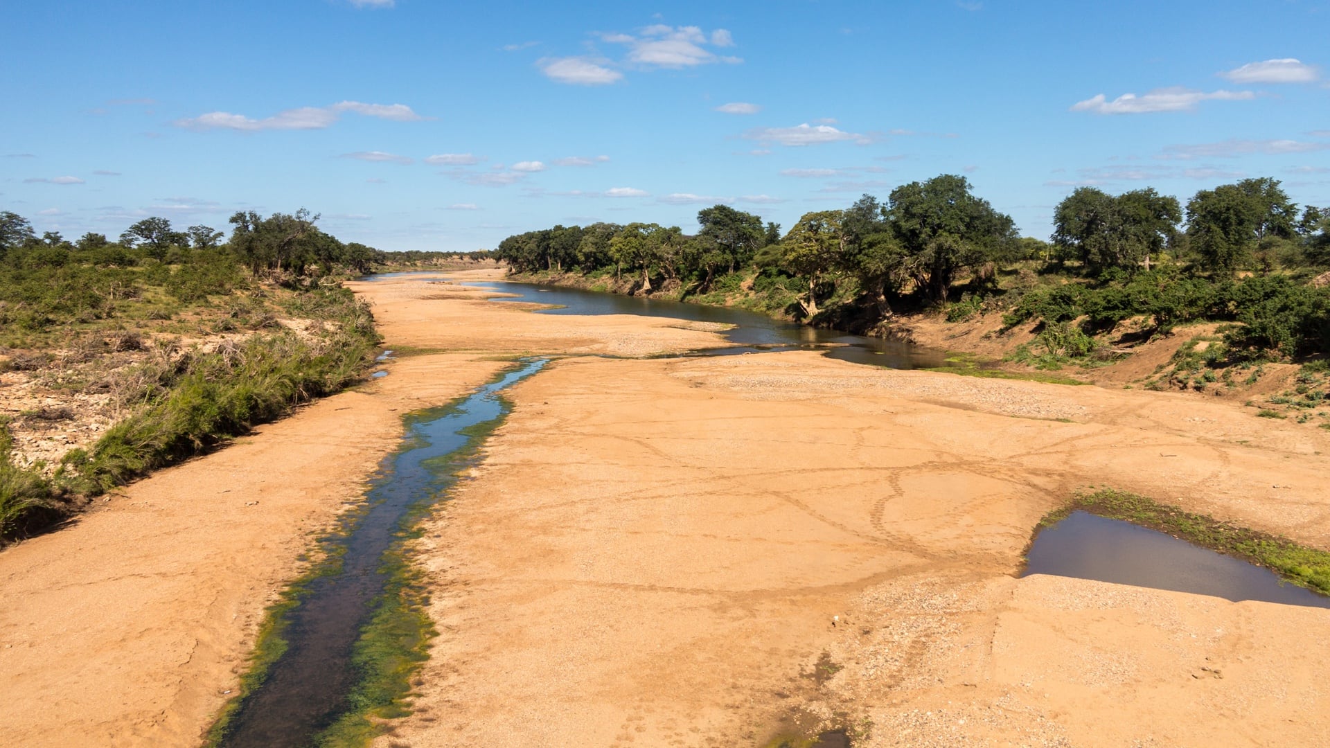
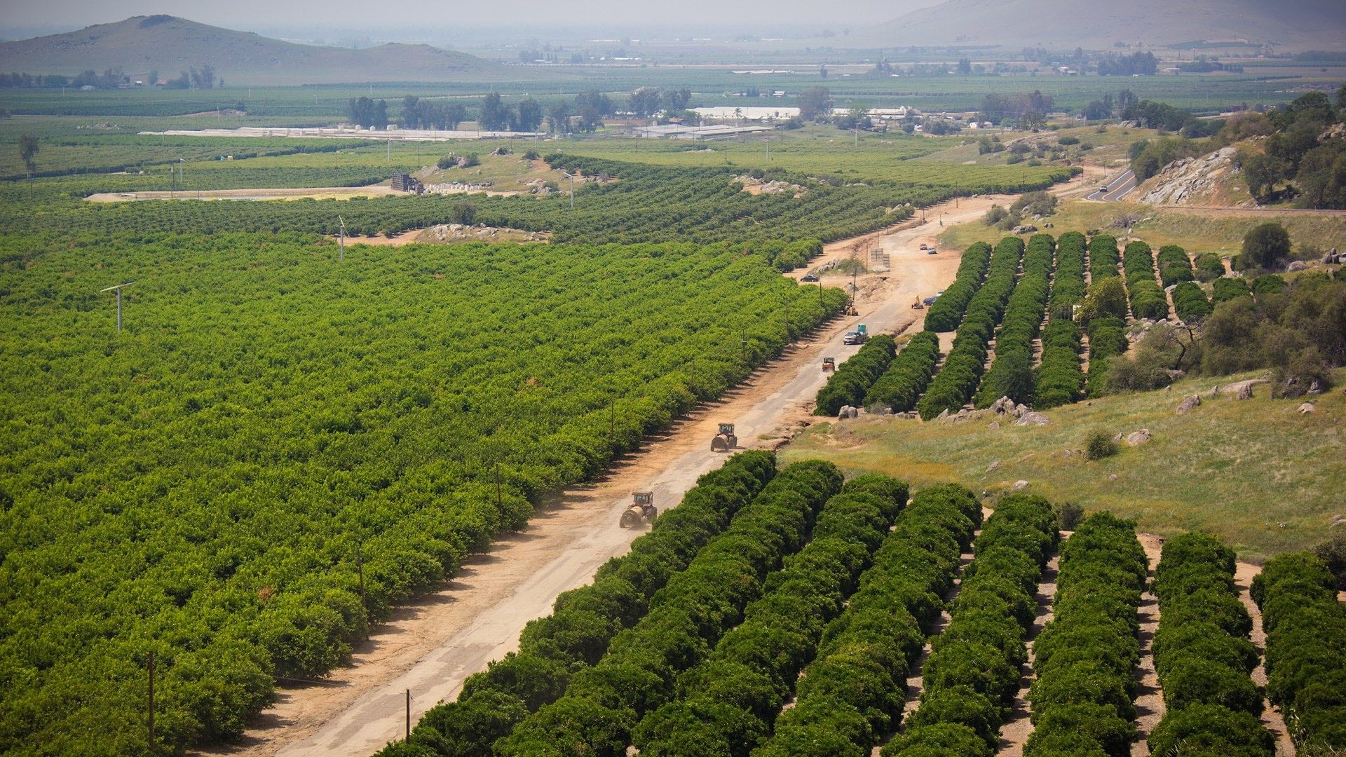
Conservationists in the Kruger to Canyons Biosphere Region collaborate with GIS to safeguard water sources.

States are set to receive funds to repair aging infrastructure, and Virginia is ready with a detailed list of priority projects.
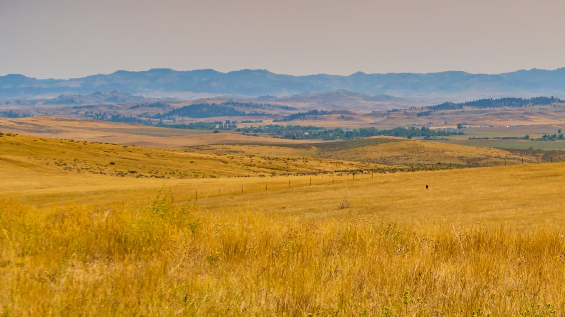
Montana used GIS to help the agency and the public visualize and understand the dispersal of economic stimulus funds.