displaying 294 results
A webinar hosted by Esri covers how to use ArcGIS, machine learning, and artificial intelligence to extract features from imagery.
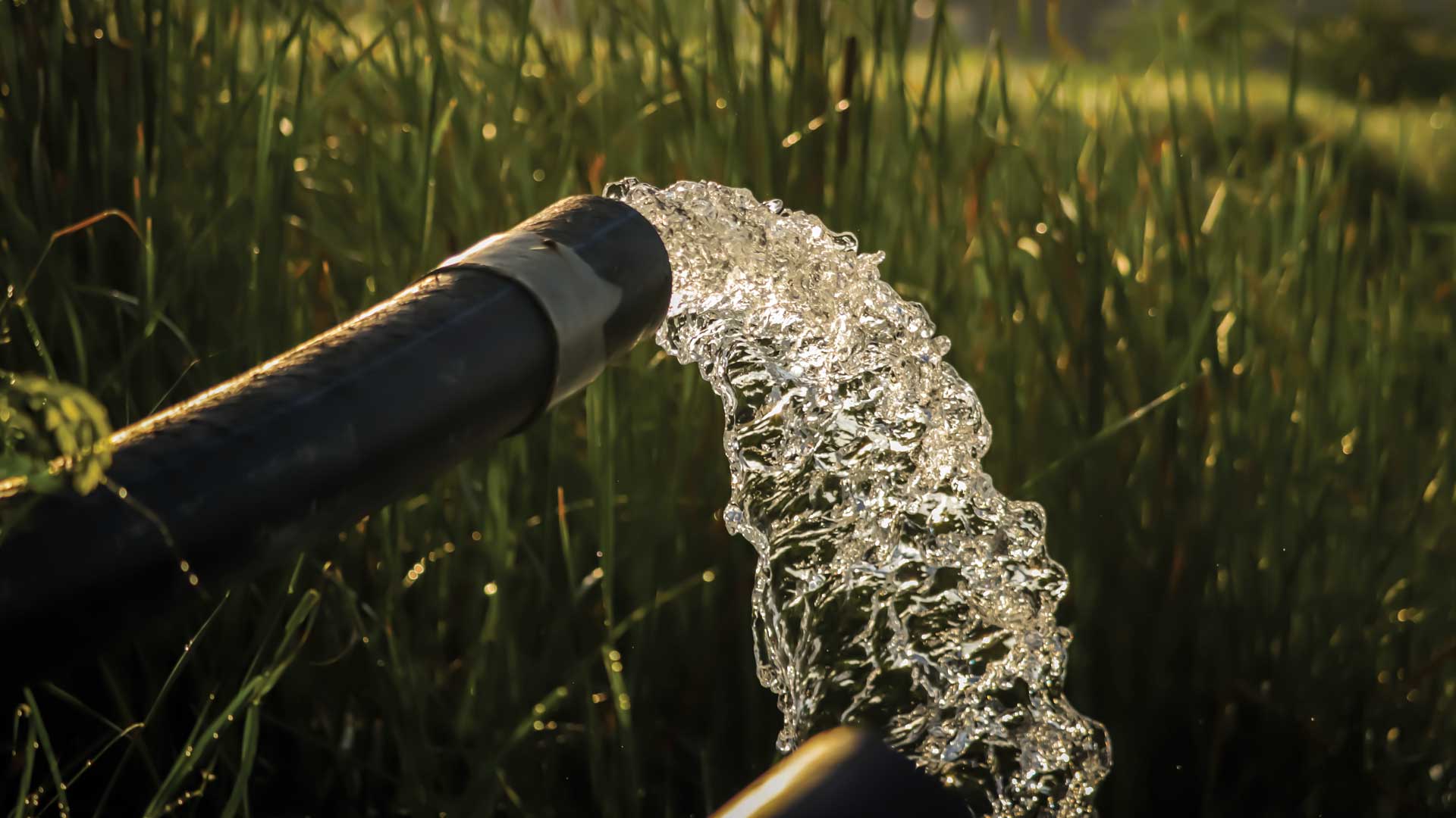
An enterprising group of young computer coders in India a low-cost system that can help ensure the safety of water in rural areas.

City of Salem, Oregon, staff used a map-based emergency management approach to prioritize ice storm response.

Mappers with The HALO Trust document the destruction in Ukraine to assess risk from unexploded ordnance ahead of reconstruction effort.
Advancements in satellites, sensors, mapping, and artificial intelligence mean we can gain a global update of land-cover change within days.
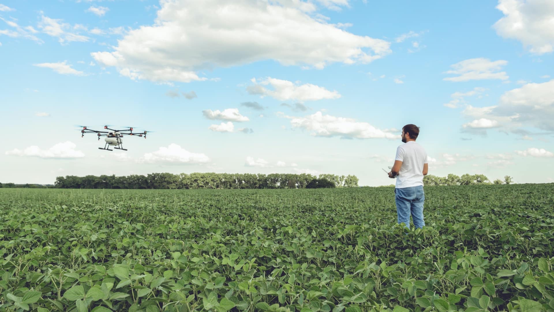
Precision agriculture harnesses location technologies to guide farmers to apply inputs where and when they are needed.
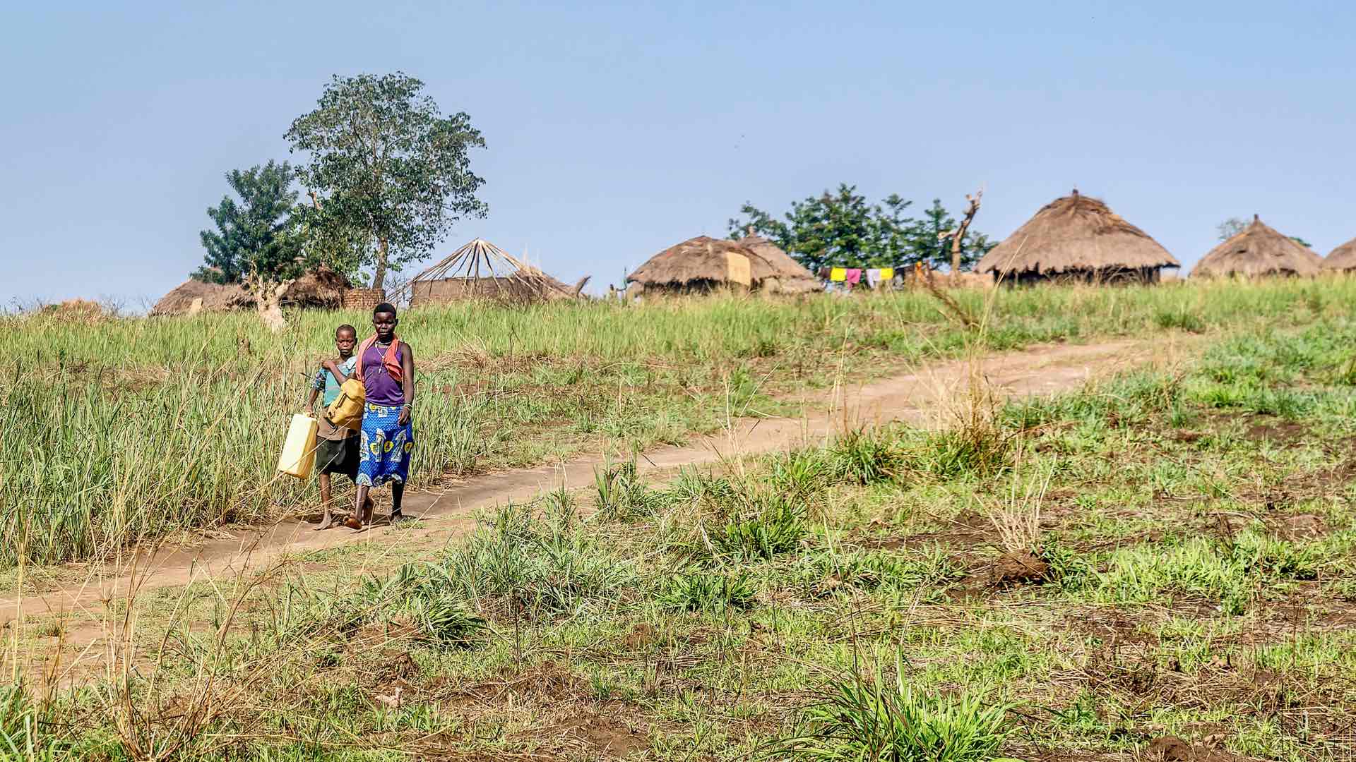
Global Water Challenge created apps to help governments and NGOs prioritize water projects based on the number of people impacted.

Esri partners facilitate and streamline workflows and management of a variety of community management projects.

Researchers integrate relational databases with GIS technology to show geothermal energy potential in North America’s Great Basin region.

Explorers and leaders met online with Esri president Jack Dangermond to talk about how they are advocating for and creating a sustainable future.
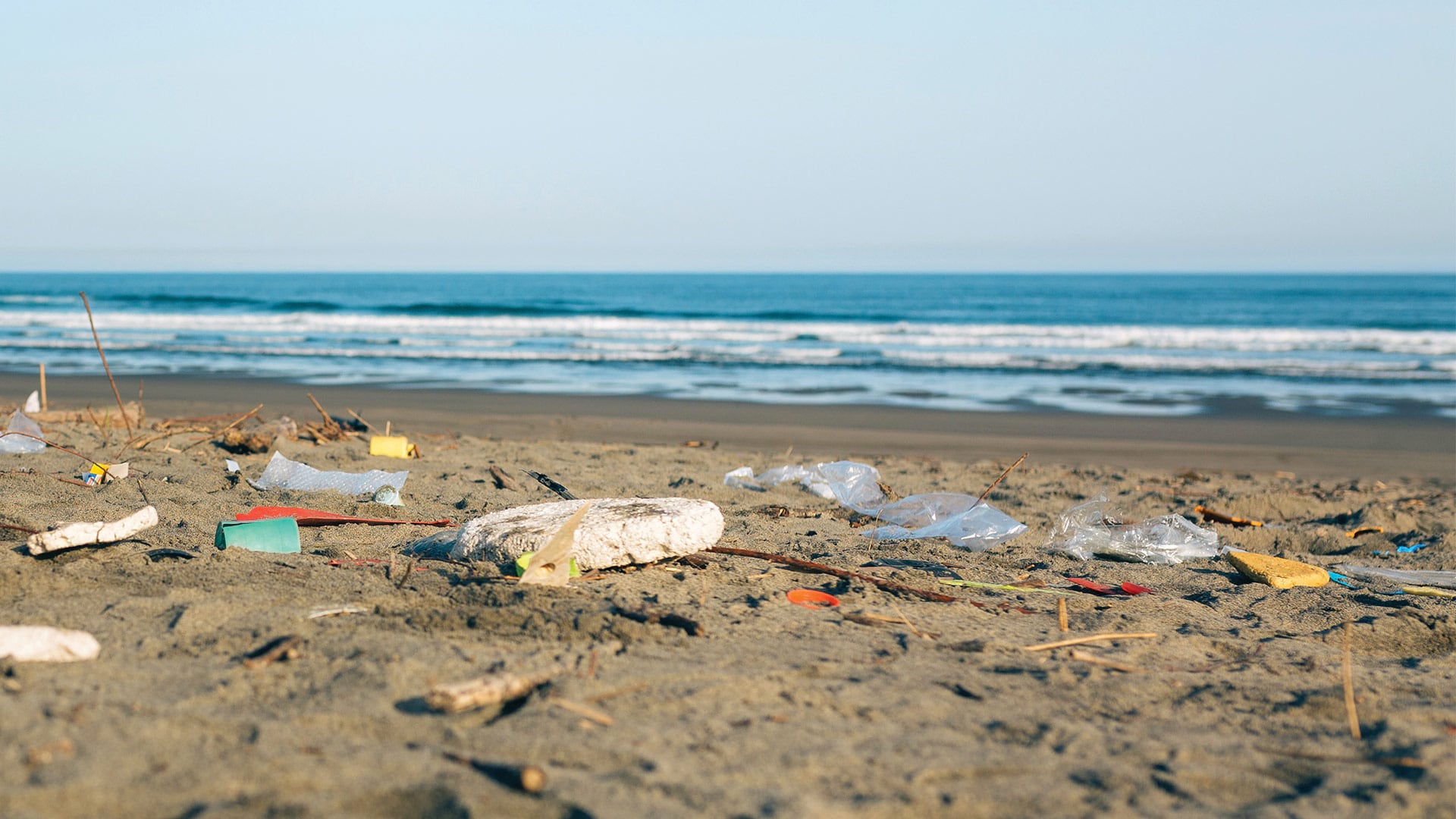
The San Francisco Estuary Institute worked with partners to develop an automated workflow for validating trash monitoring methods.

ArcGIS Platform, a platform as a service (PaaS) product, provides high-quality location-based services and capabilities to software developers.