displaying 1426 results

The city of Tempe, Arizona added the ability to test coronavirus bio markers in wastewater to provide advance warning about COVID-19 spikes.

Maps help organizations weigh wellness and economic impacts as communities work toward reopening from COVID-19 disruptions.
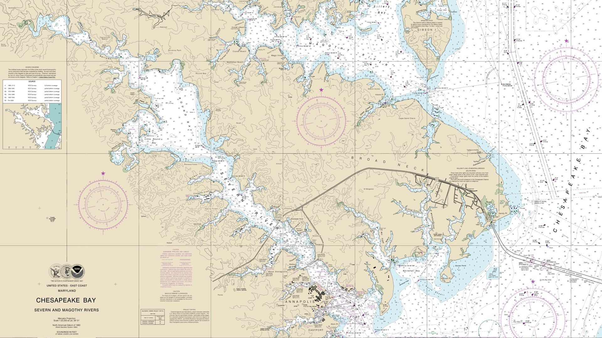
NOAA is leading the world in phasing out paper charts, embracing the advantages of Electronic Navigational Charts.

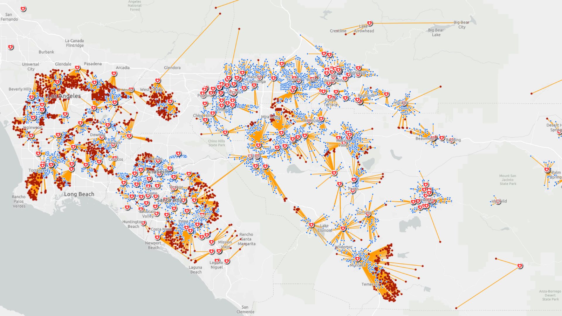
GIS users combine models and maps to explore hospital capacity forecasts and test different social distancing scenarios.
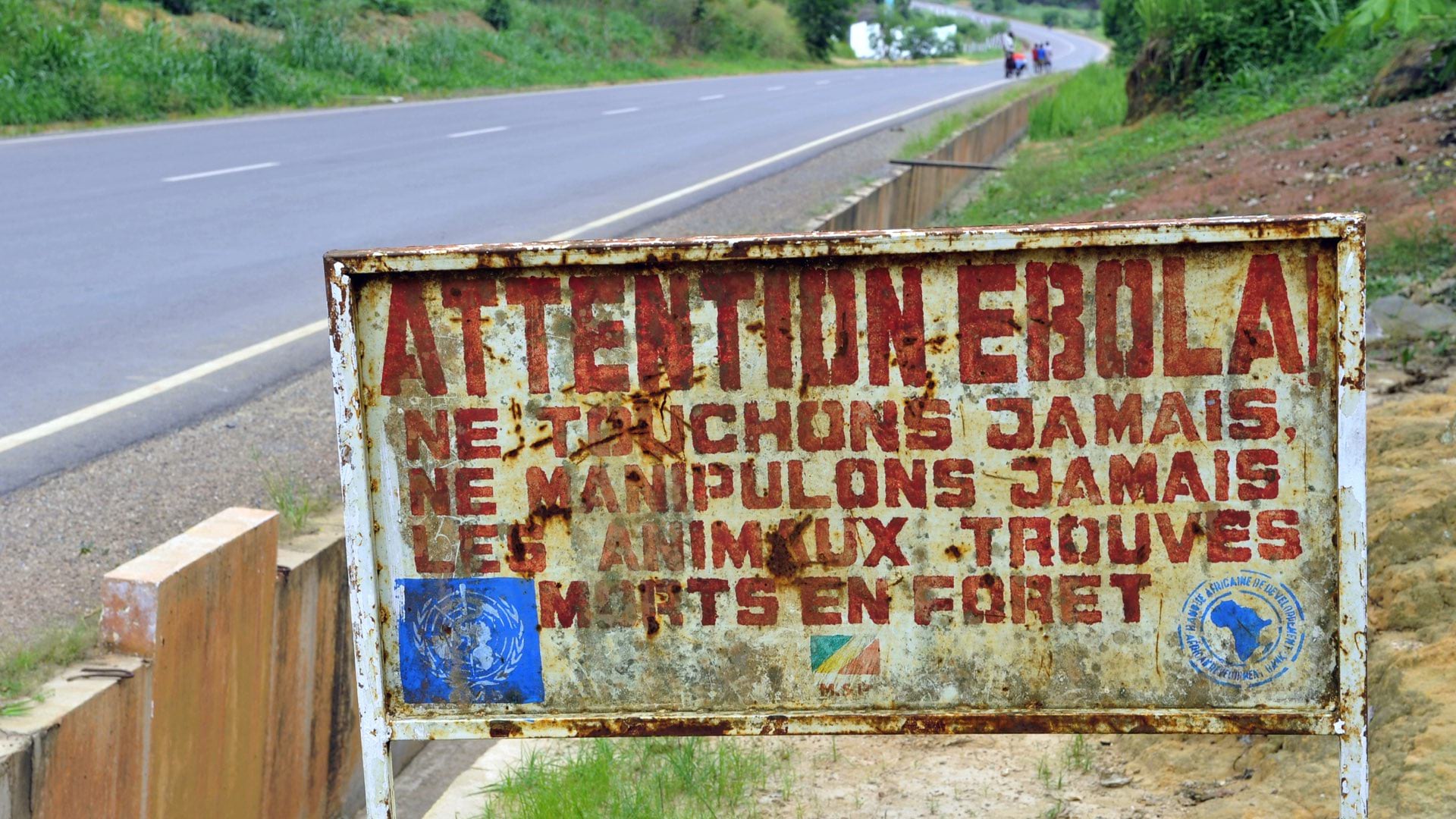
During epidemics, public health agencies turn to GIS to track disease spread, safeguard at-risk populations, and allocate available resources.
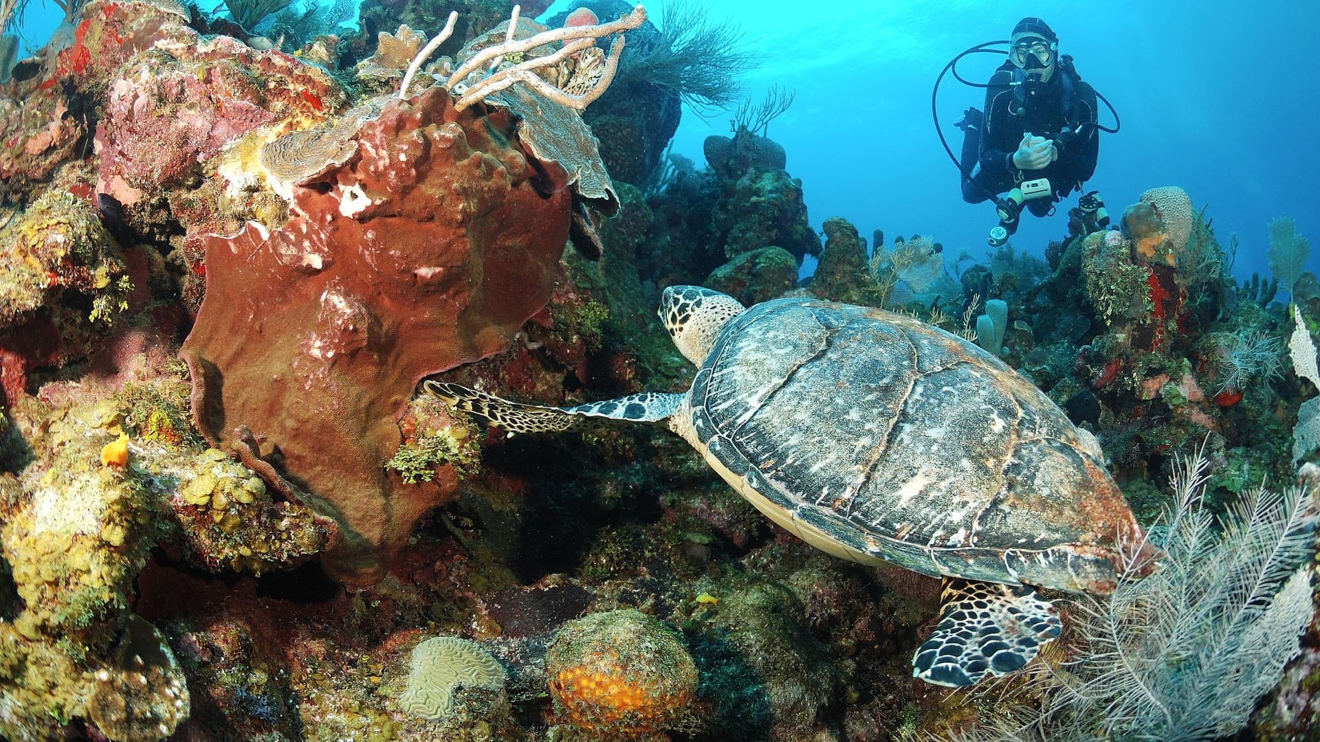
Scientists gain new insight into sea turtle behavior by tracking and monitoring the animals, with input from citizen scientists.
Location intelligence helps investigators trace COVID-19 infection routes, implement control measures, and gauge their effectiveness.

Seattle uses GIS to understand the implications of its gangbuster growth on land and people.
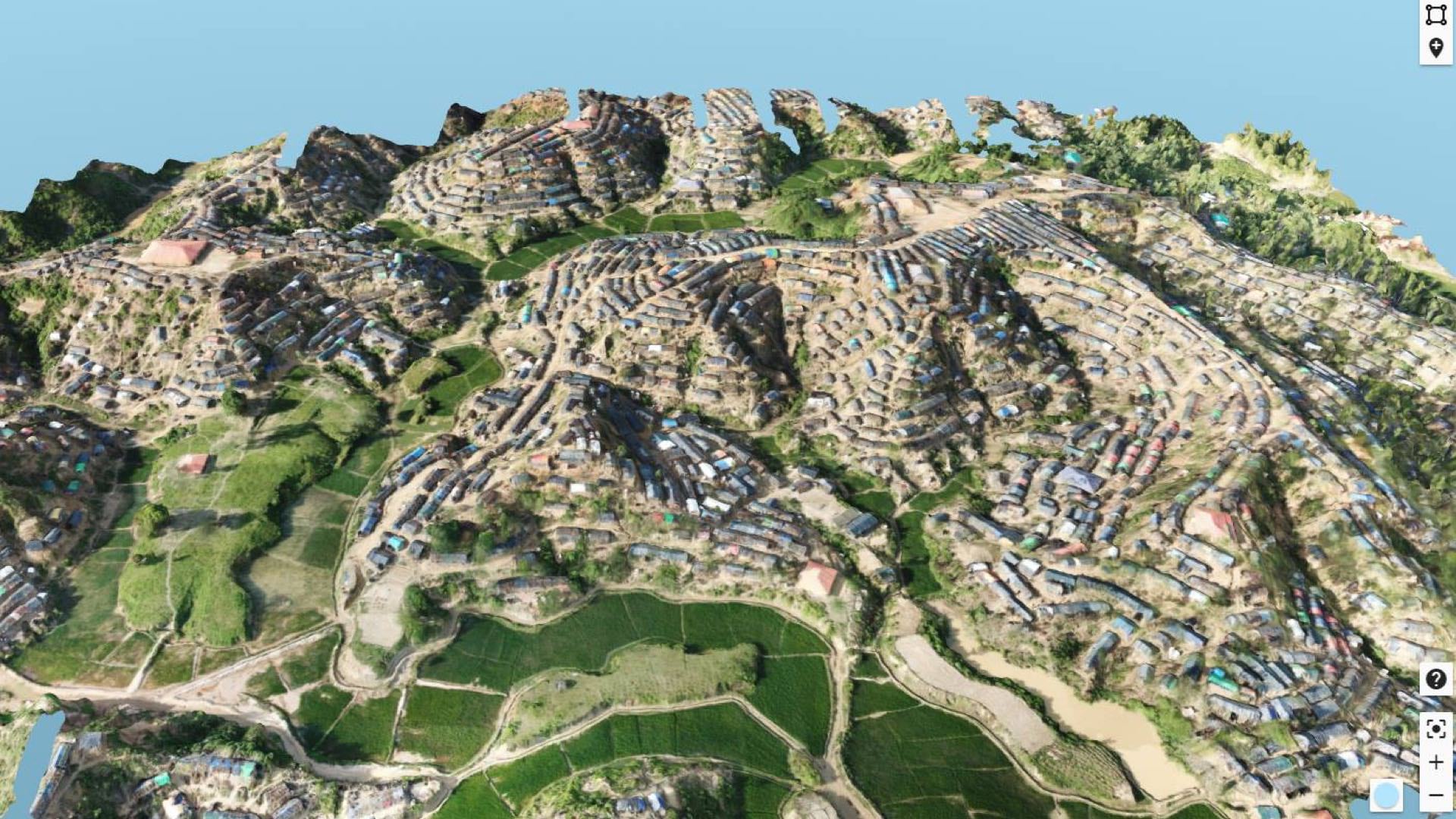
Daily drone flights have helped improve safety and services to the Rohingya refugees forced from Myanmar.
Enerjisa DC, the largest electric utility in Turkey, uses GIS to locate maintenance issues in remote places that are difficult to access.
The MCSC rescu app uses location intelligence to help police and concerned citizens find missing children in Canada.

German armed forces use GIS to visualize cybersecurity threats and communicate patterns of hacker activities to help thwart malicious attacks.