displaying 559 results
California Environmental Protection Agency has pioneered a unique geographic approach to apply principles of environmental justice.
The Prediction of Worldwide Renewable Energy Resource (POWER) team at NASA provides data that aids the transition to clean energy.

GIS helped two companies—Quiet Professionals and Janes—connect people who want to leave Afghanistan with those who can help them.

Humanitarian organizations empower Nairobi’s vulnerable populations with location information.

Creating awareness of earthquake faults was the first step in gathering and sharing data about all hazards experienced in the Philippines.
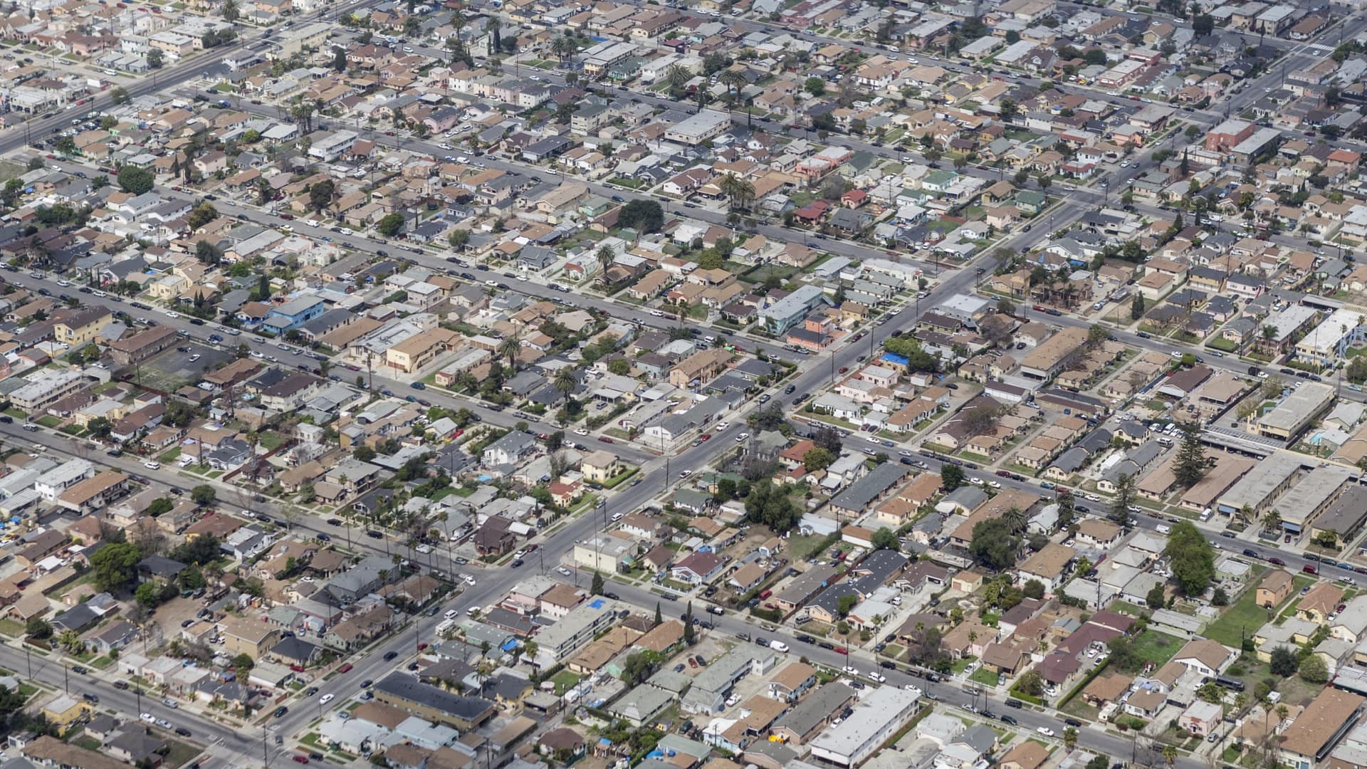
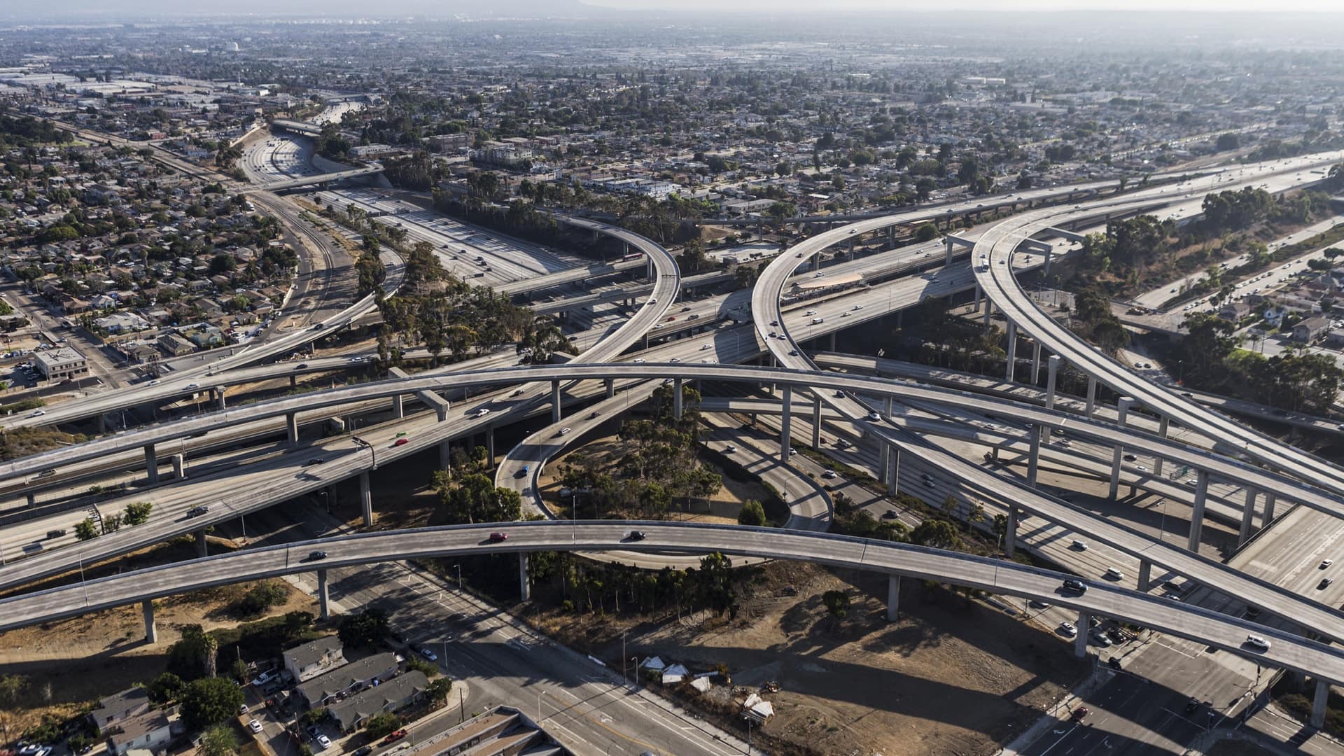
Knowing where people are, has been instrumental in Manuel Pastor’s social advocacy efforts.
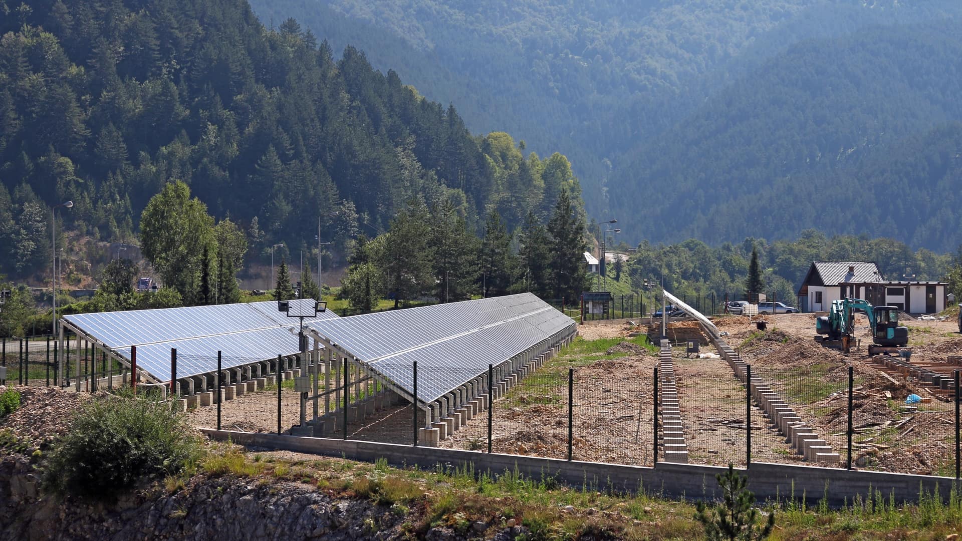
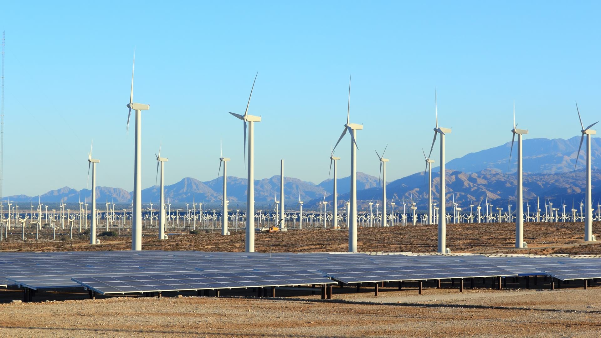
The state of Kentucky has developed a map-driven platform to help solar power developers find appropriate sites for renewable energy projects.

With GIS, officials can rely on shared maps and rapid communication to collaborate and make quick changes as events unfold.

Territorial Empathy uses smart maps to point the way toward social justice and a deeper understanding of others.
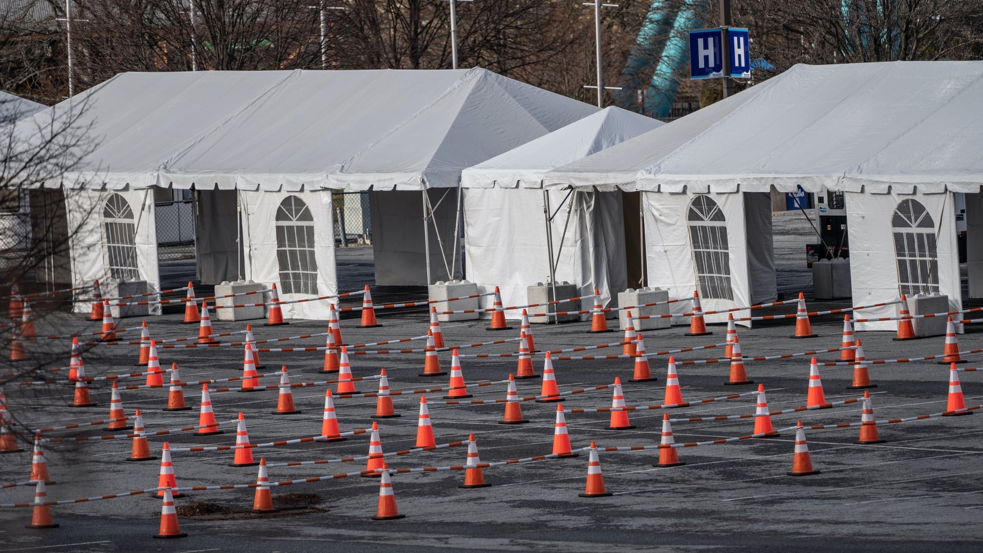
In Pennsylvania, Kansas, and Montana, local authorities turn to GIS to plan vaccine distribution and to be transparent about who they prioritize.
Epidemiologist Amy Hockett led the location intelligence efforts to address COVID-19 in Linn County, Iowa, helping people from all walks of life.

Organizations working on the UN Sustainable Development Goals apply GIS to create and share data and to analyze and prioritize actions.