displaying 557 results
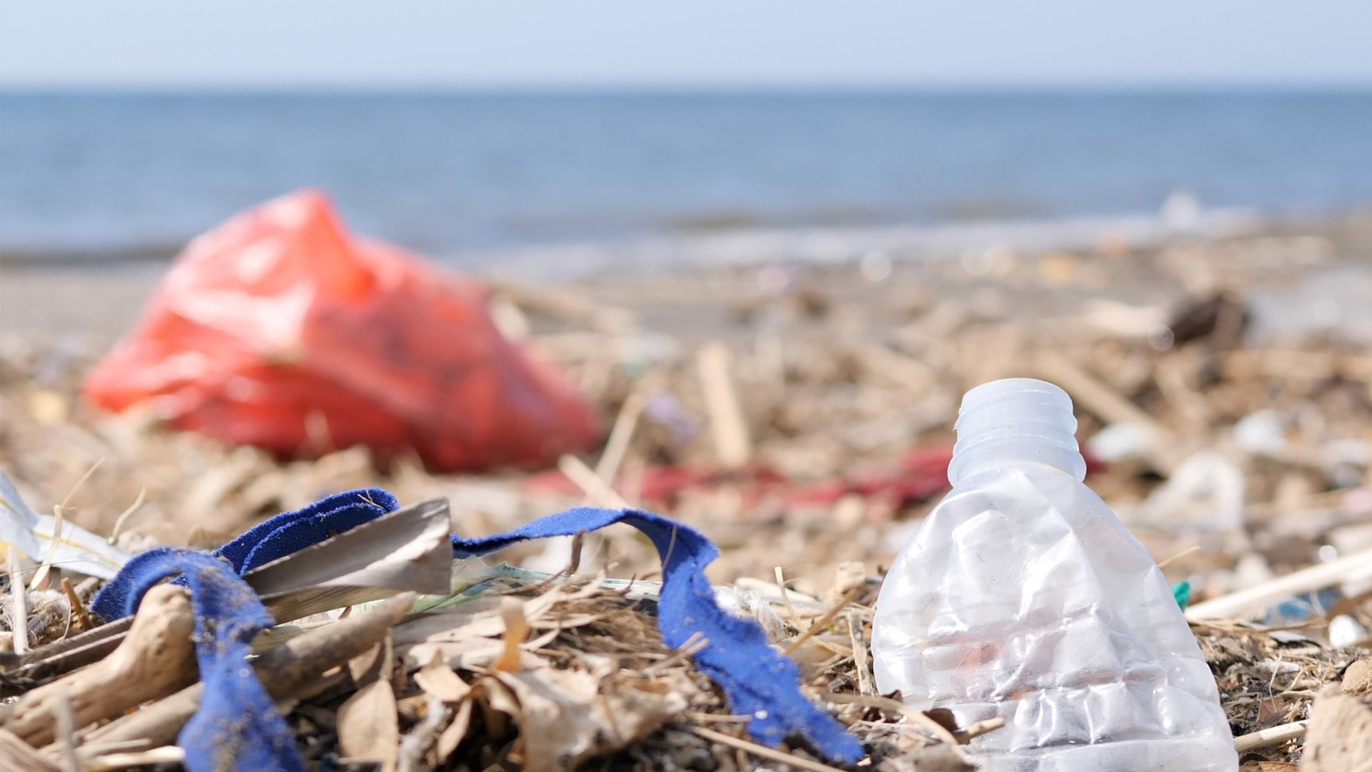
Earth Challenge 2020 involves map-based citizen science apps to collect key metrics for the fiftieth anniversary of Earth Day.
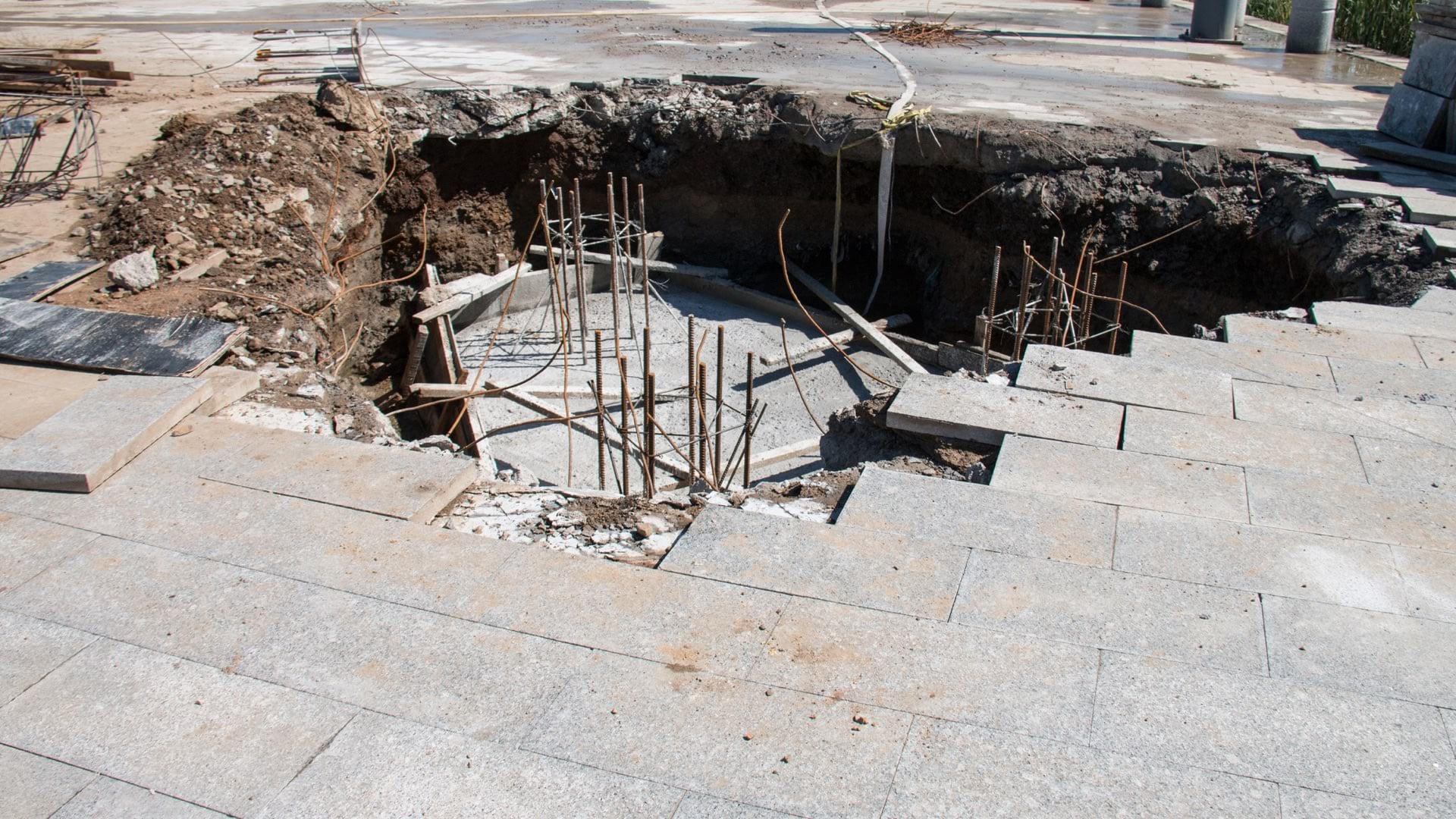
Karst geology and infrastructure failure can cause sinkholes. Sensors and mobile apps can help mitigate these problems before they surface.

The Jane Goodall Institute makes use of geospatial technology to increase the scale and pace of conservation impact.

Protect Our Winters uses GIS to research the economic impacts of low snow totals, using dollars and cents as a motivator in their outreach.

Mobile map-based apps gave searchers the tools to conduct a quick and comprehensive search.

The Illinois State Police used the Illinois State Fair as a testing ground for real-time digital apps, spurring adoption in everyday operations.
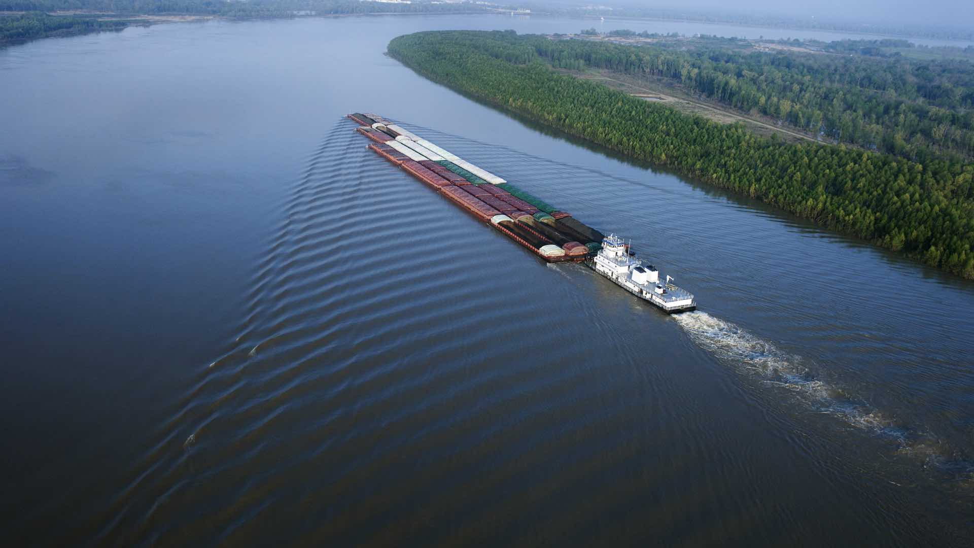
The US Army Corps of Engineers use GIS to take in signals from sensors to analyze barge traffic flows and improve movement.

San Antonio deployed real-time location intelligence to combat fears and enhance public safety during the NCAA Final Four events.
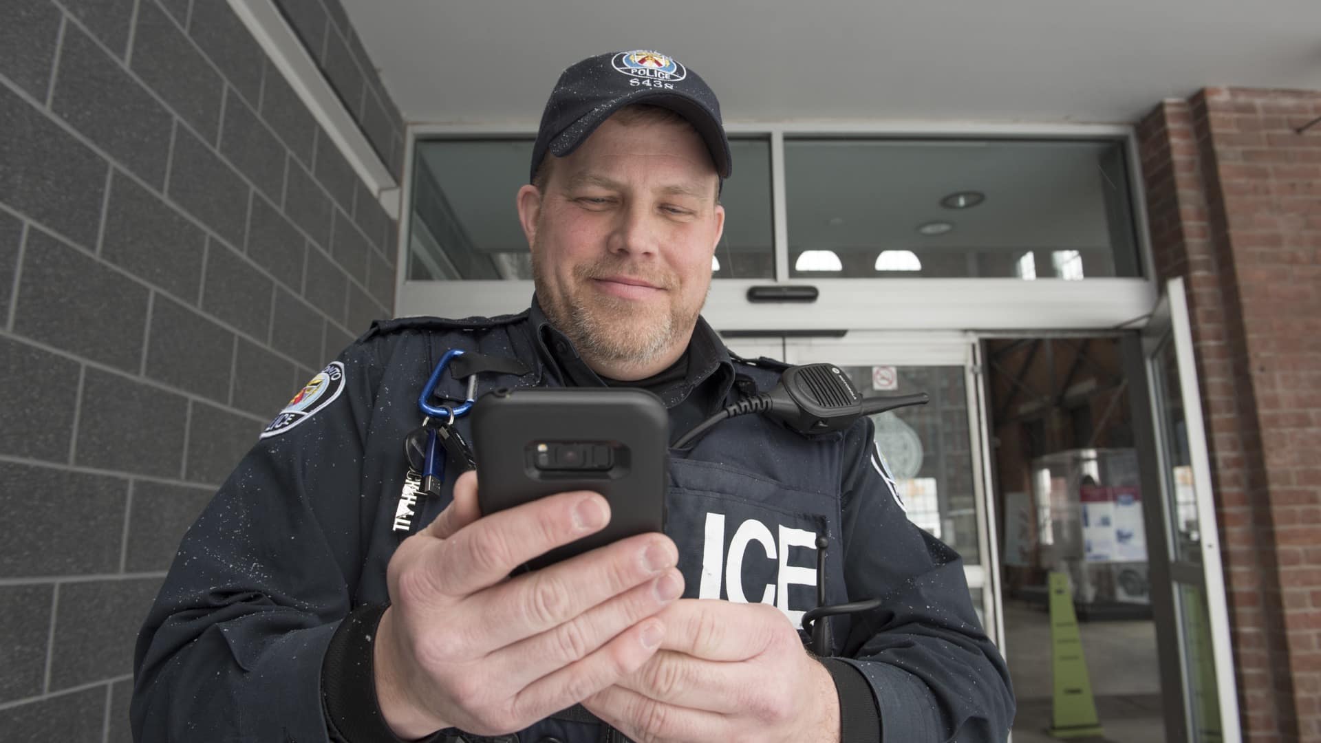
Mapping apps deliver targeted information to police officers in the field that improve their community connections.

Real-time awareness helped Bergen deliver a well-coordinated nine-day bicycle race, leading to a new public safety approach for all of Norway.
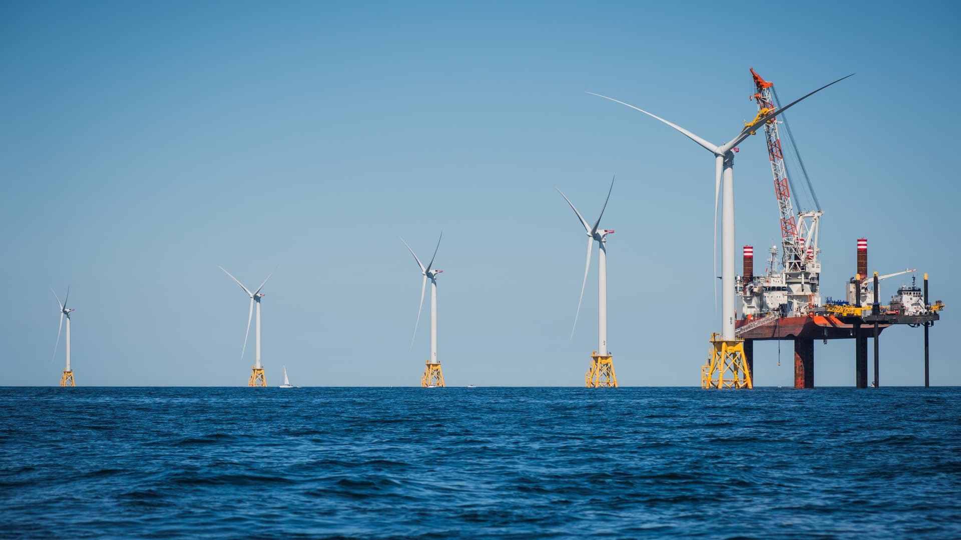
Innovative shared ocean data and mapping efforts are resulting in better economic and environmental decisions for sustaining the blue economy.

The innovative GeoHive spatial data sharing and mapping platform helps Ordnance Survey Ireland deliver maps that align with citizen’s lives.