displaying 781 results

Chile’s rapid vaccination rate, and recent COVID-19 spike, provide lessons the world can learn from.
Clearwater Seafoods has gained such contextual awareness from GIS that it has installed the software on the bridge of every ship.
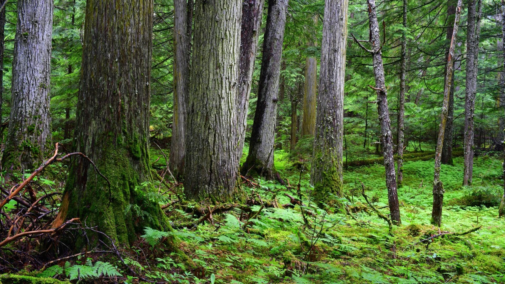
When Conservation North saw a report of old-growth forest in British Columbia, the group knew an online map was needed to activate conservation.

GIS provides the contextual awareness to analyze the complex problem of methane emissions from natural and human-made sources.
The Trust for Public Land helps guide local park improvement by quantifying inequity and climate impact.

The shared context of a situation, including a view of current actions, helps all participants and partners to act together.
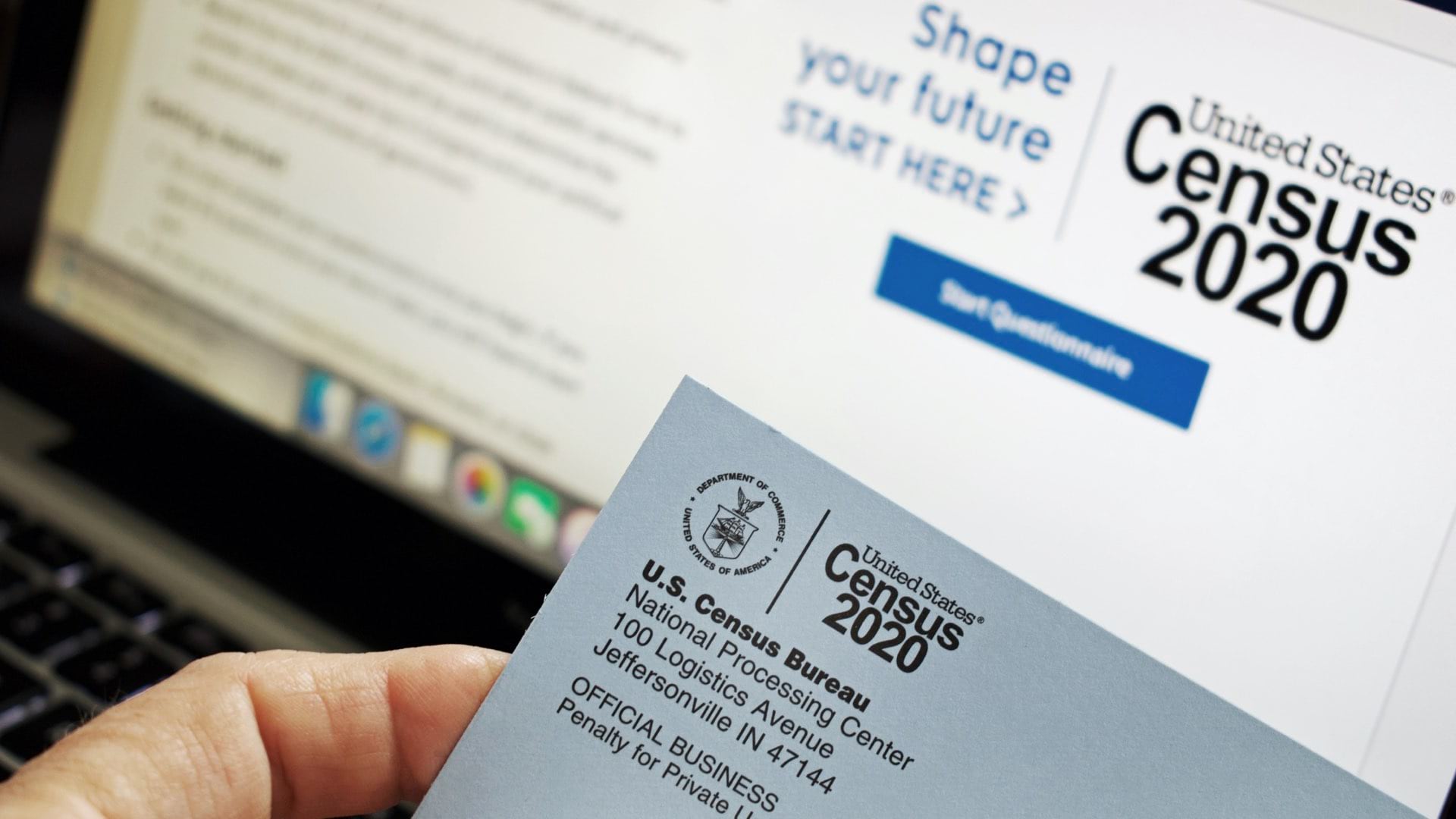
Dipping into the corporate marketer’s toolkit, the US Census Bureau enlists location intelligence to boost participation.

The Illinois State Police spread access to GIS in the aim to create consistent and accurate data statewide to ensure rapid emergency response.
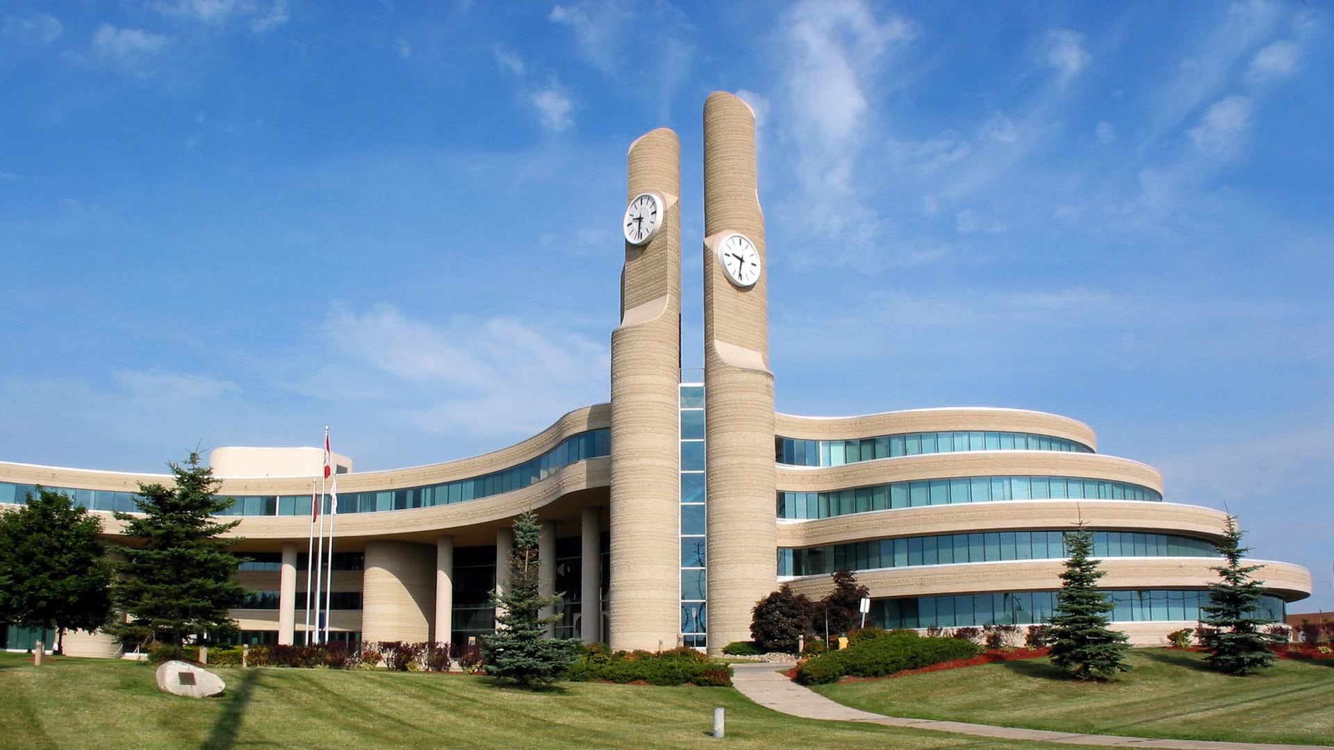
York Region has parlayed advancements in data sharing to power advanced analytics that focus on improving services for every resident.
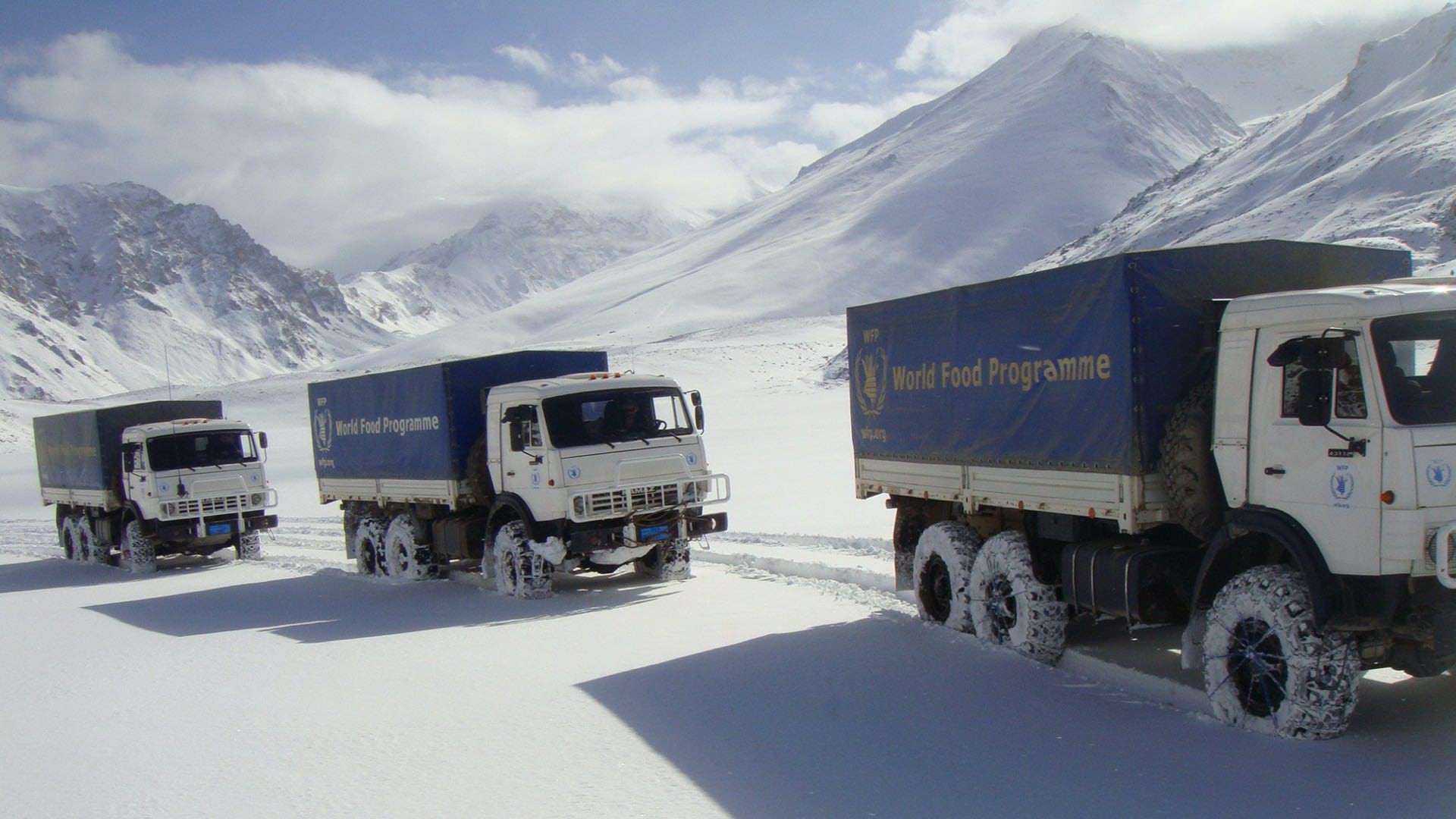
The World Food Programme uses maps, apps, and dashboards to gather and convey context and plan every mission in Afghanistan.

Leaders use realistic cityscapes to make decisions, collaborate, and improve quality of life.

As the world prepares for the most complex global vaccination campaign in history, location intelligence provides essential capabilities.