displaying 262 results
Everyone deserves the opportunity to live a healthy life. Explore how GIS can best support health equity at the policy level.
Amidst a construction boom, AEC firm HDR is harnessing location technology to drive collaboration and deliver timely solutions for clients.
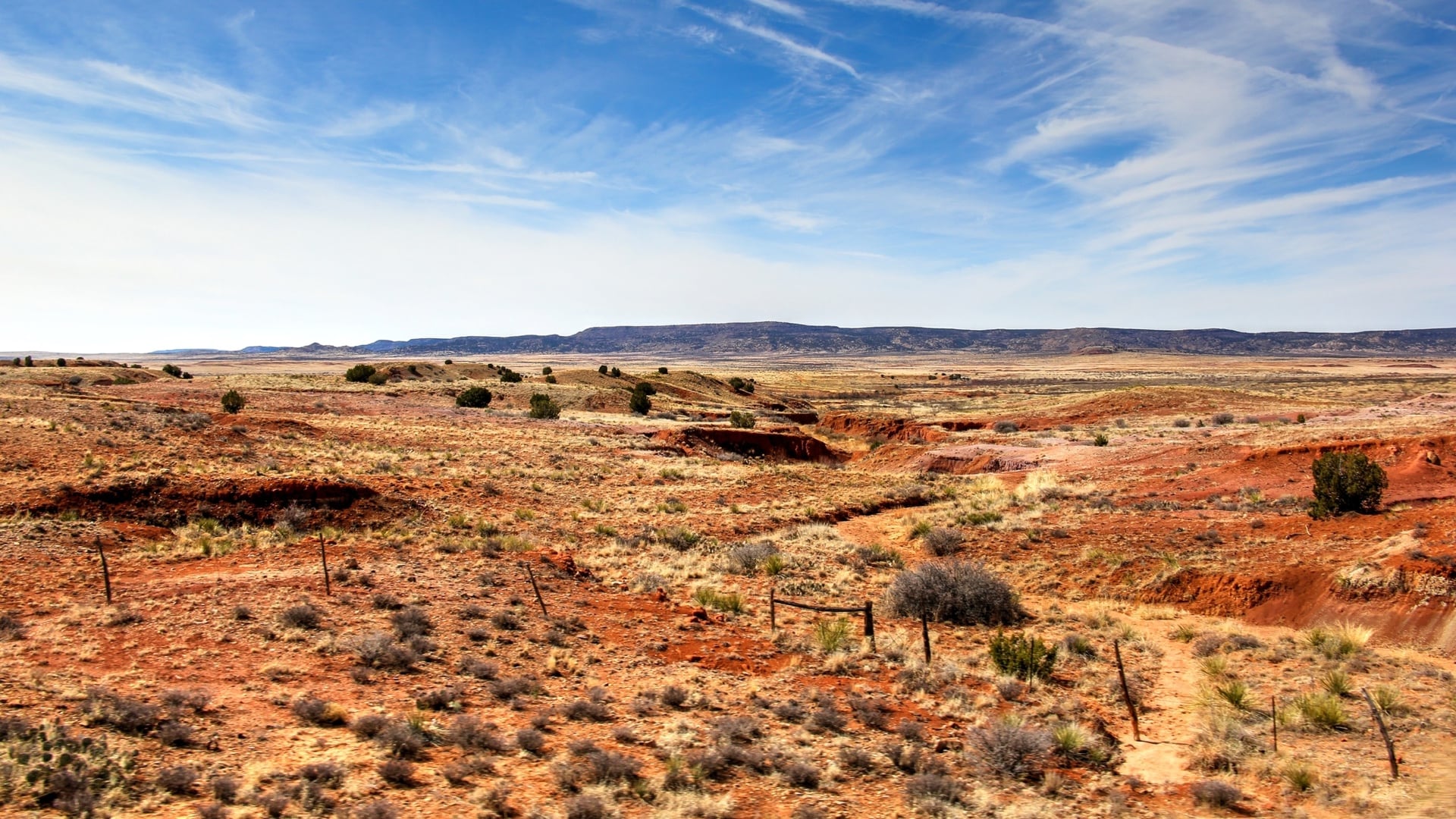
Users of the New Mexico Climate Risk Map can assess their relative risks to hazards exacerbated by climate change while considering equity.
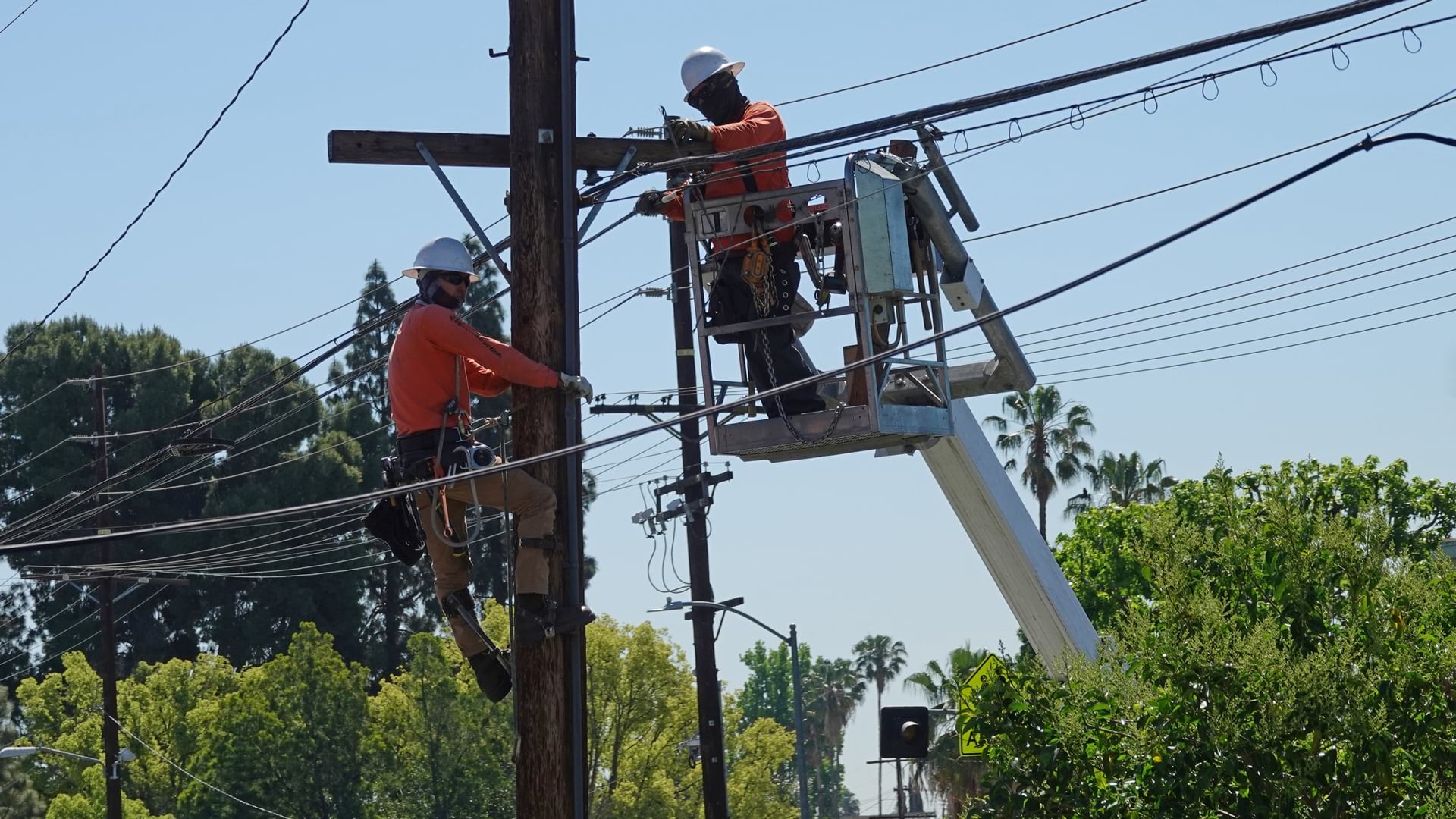
Los Angeles uses maps to convey where broadband investments are needed to address systemic inequities.

North Carolina uses GIS to analyze and communicate the state’s broadband needs.

The Trust for Public Land used GIS to analyze the benefits and fiscal impacts of public parks and open spaces in New York City.
Digital maps and data science help NAACP show disparities along racial and geographic lines and where investment can improve or worsen conditions

Roxana Ayala’s exposure to geographic thinking helped her see inequities and focused her interest on public policy.
Students from across the country take an online six-week Mapping Justice course at MIT, gaining a skill and exploring systemic issues.
As the demand for zoning reform continues to grow nationally, the need for a geographic approach to housing equity becomes more essential.

A Virginia professor’s maps show redlining of the 1940s has caused social inequalities to persist.

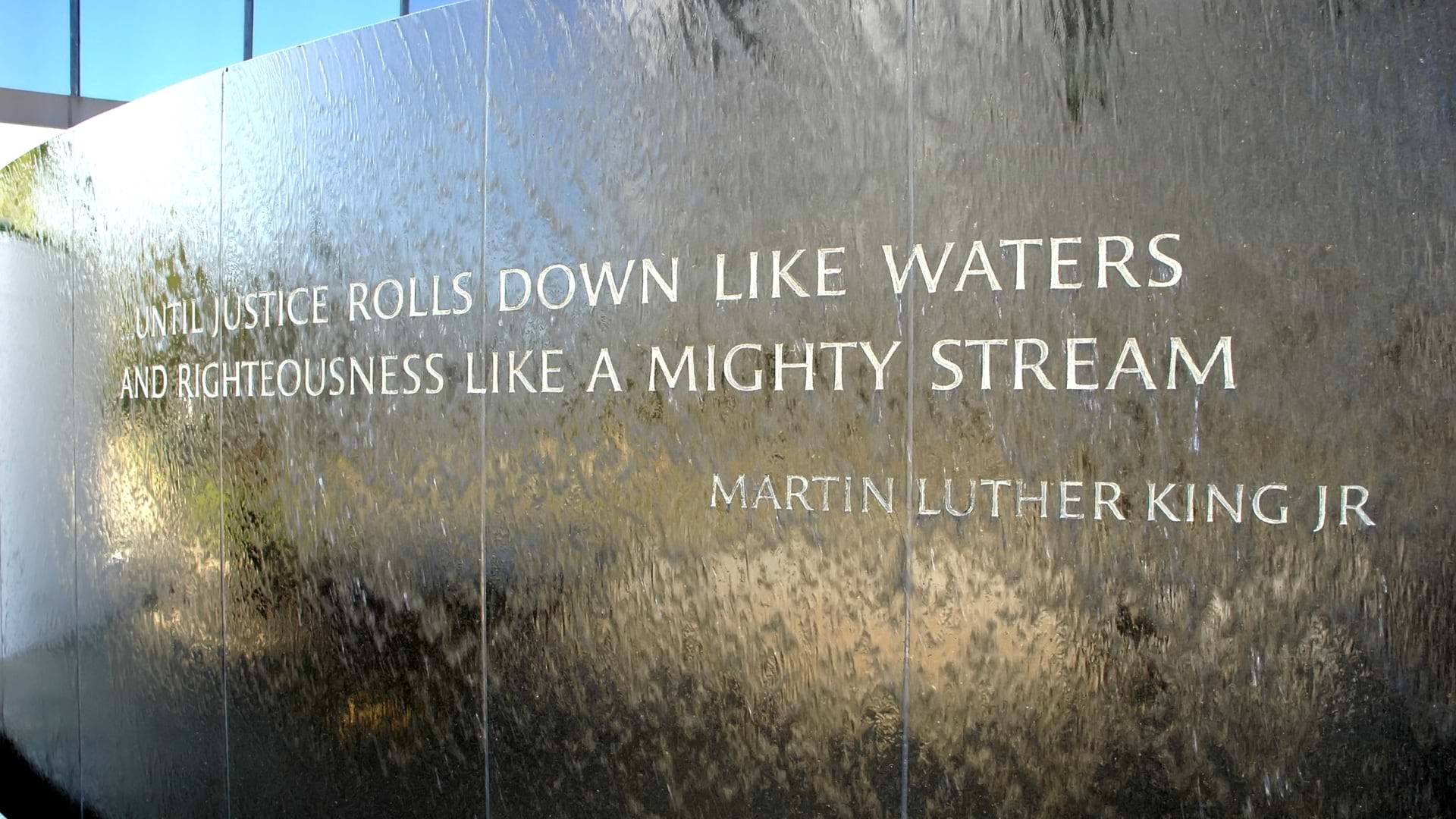
Territorial Empathy uses smart maps to point the way toward social justice and a deeper understanding of others.