displaying 873 results
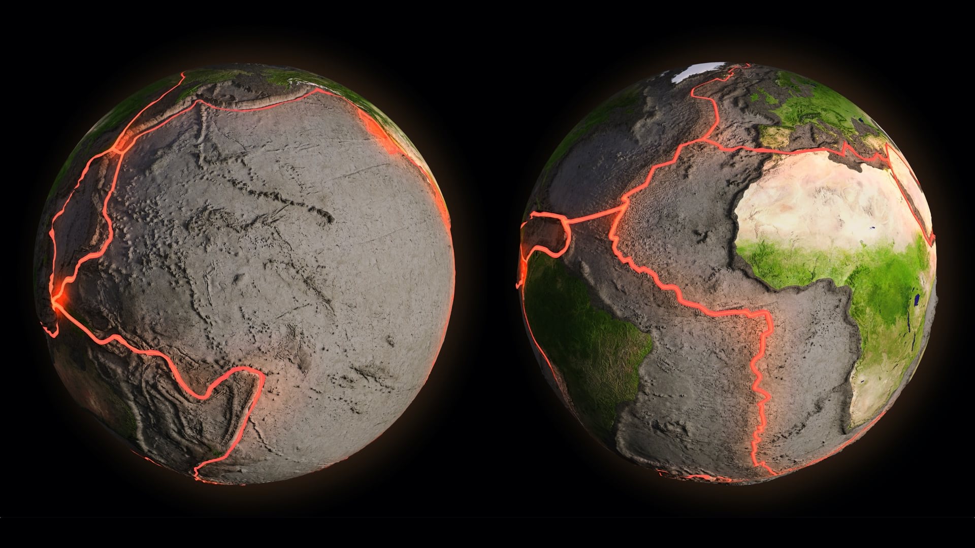
Geodesists map changes on our ever-shifting planet, recording and mapping how Earth transforms to ensure accurate measurements.

Armed with the understanding that trees and shade improve health, Los Angeles works with partners to plant new trees equitably.

RTA applies location intelligence to understand changes in revenue and ridership to survive the pandemic.

Maps help organizations weigh wellness and economic impacts as communities work toward reopening from COVID-19 disruptions.
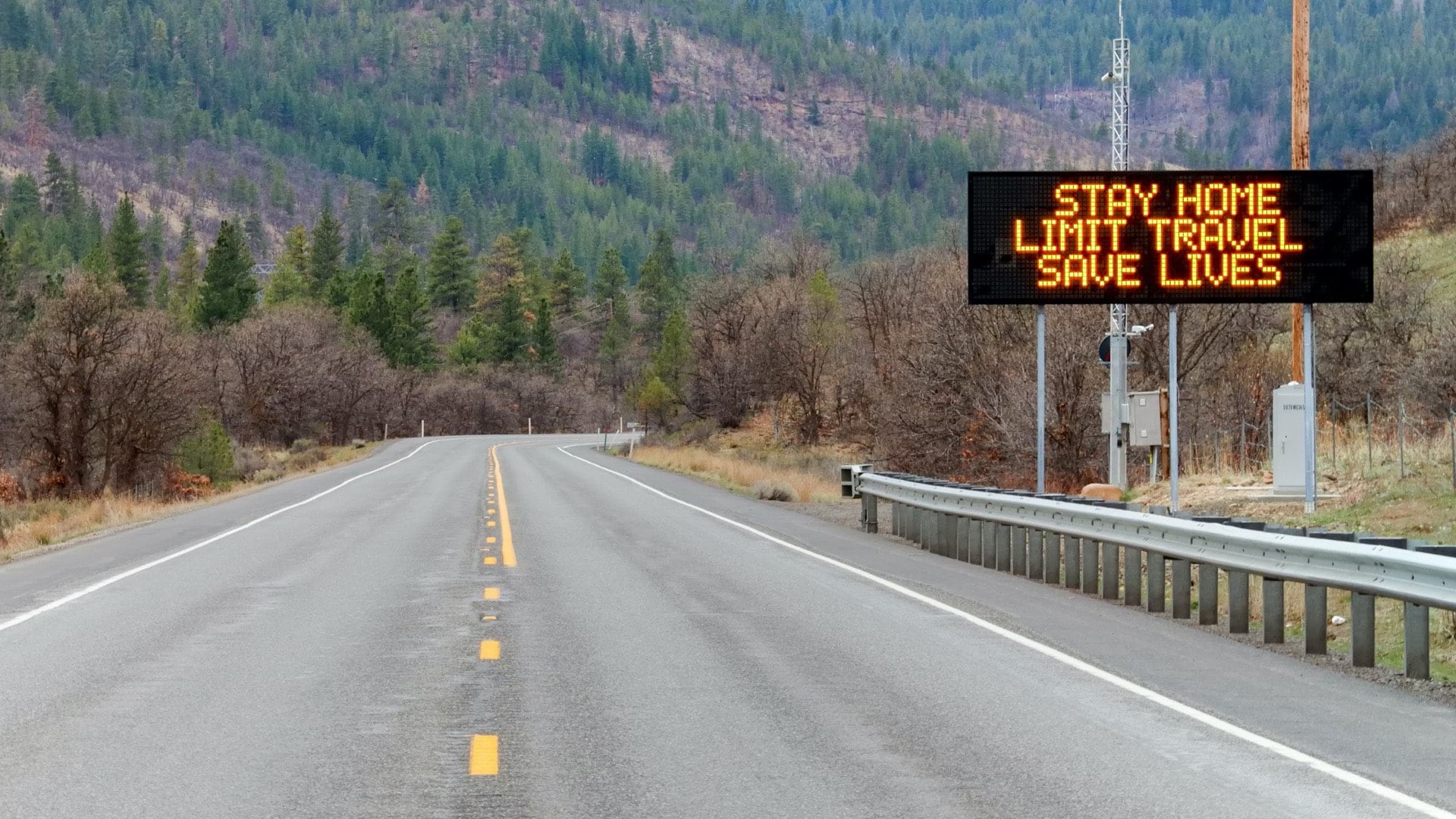
Washington state helped essential workers navigate to available childcare, while Seattle helped connect consumers to essential businesses.

GIS helps the FDA visualize manufacturing sites, monitor impacts of disasters, and safeguard investigators while they're in the field.
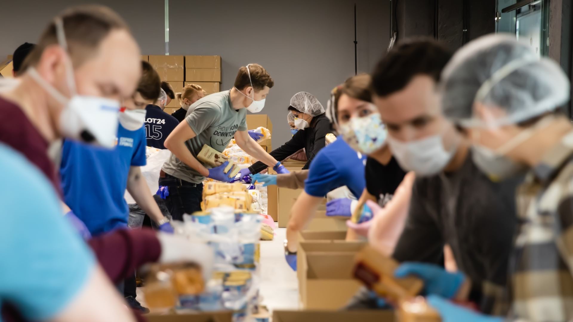
Apps, maps, surveys, and dashboards are combined to help cities communicate with residents and businesses in need of assistance.
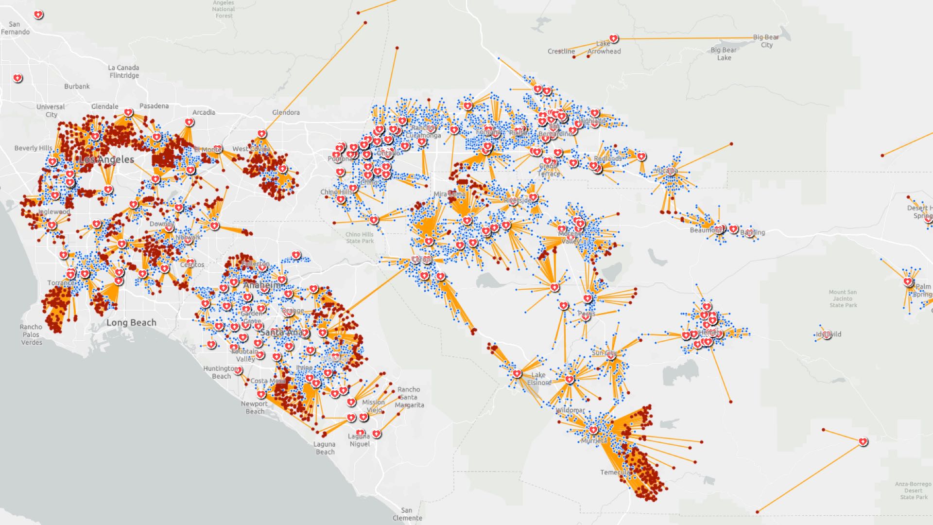
Location intelligence helps investigators trace COVID-19 infection routes, implement control measures, and gauge their effectiveness.
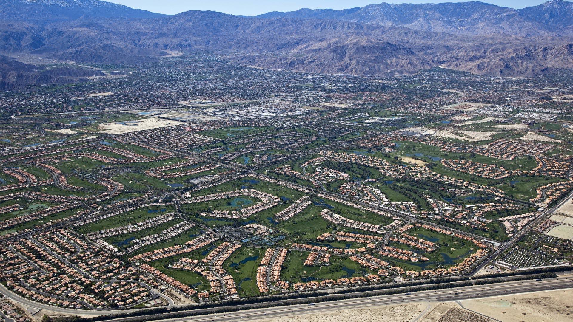
Coachella Valley Water District uses GIS to manage its precious aquifer that makes agriculture and cities possible in the desert.

German armed forces use GIS to visualize cybersecurity threats and communicate patterns of hacker activities to help thwart malicious attacks.
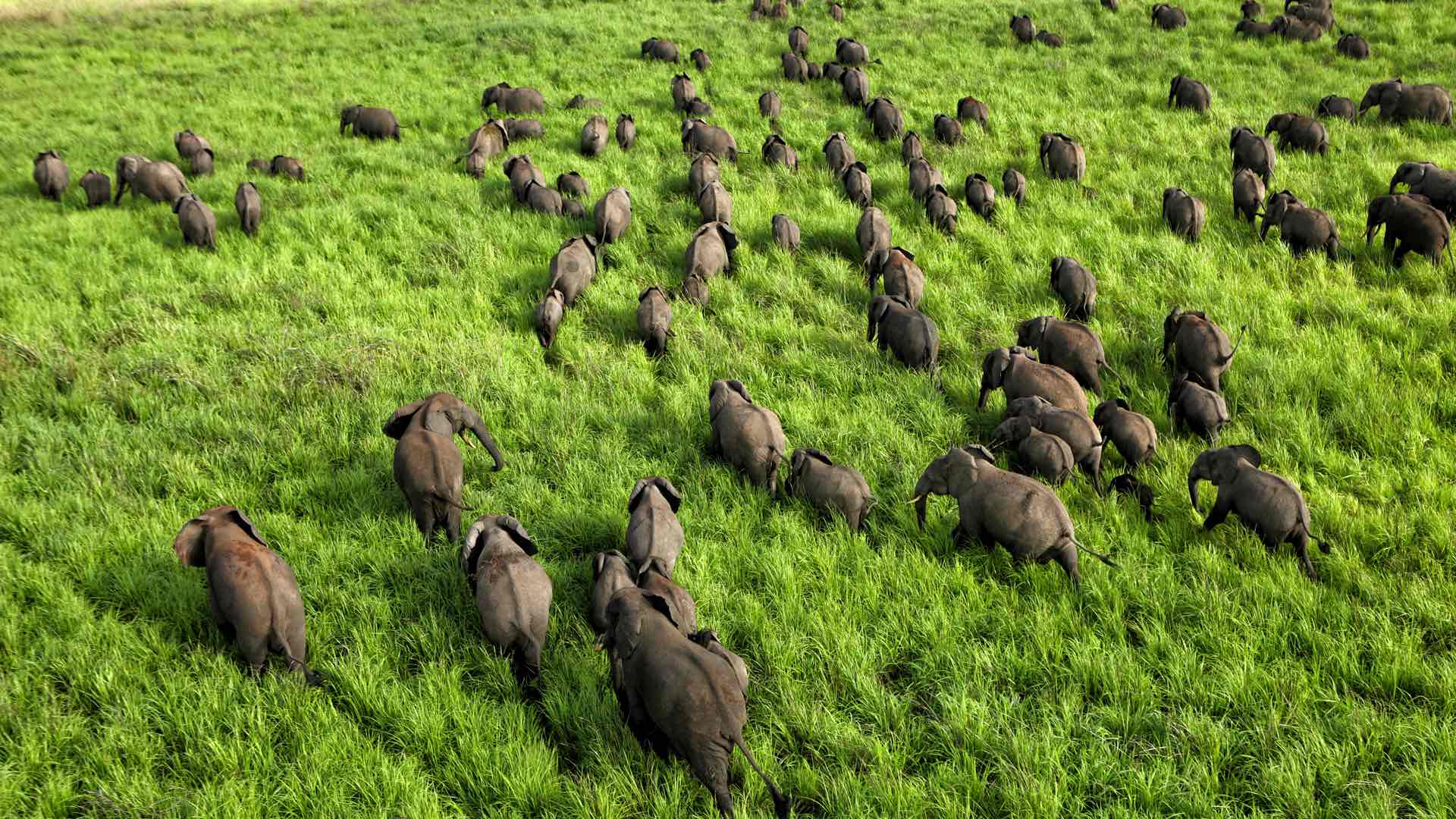
African Parks uses location intelligence to track wildlife and battle poachers, and in the process learns more about animal behavior.

GIS helps track the movement of geomagnetic north and to calculate the change in order to improve navigation.