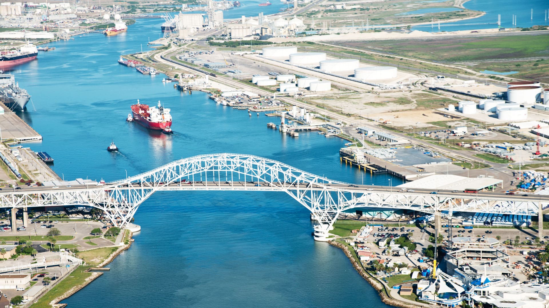
Watching Kyle Spencer scroll through digital maps of Norfolk, Virginia—where he serves as deputy resilience officer—feels like a history lesson in the changing shape of a city defined by its relationship with water.
“Ten years ago . . . it was kind of taboo to talk about sea level rise,” Spencer says from his home office. “Now, we are a resilient city, because we’re not ignoring the problem. We’re going to face it head on, and make it part of our identity.”
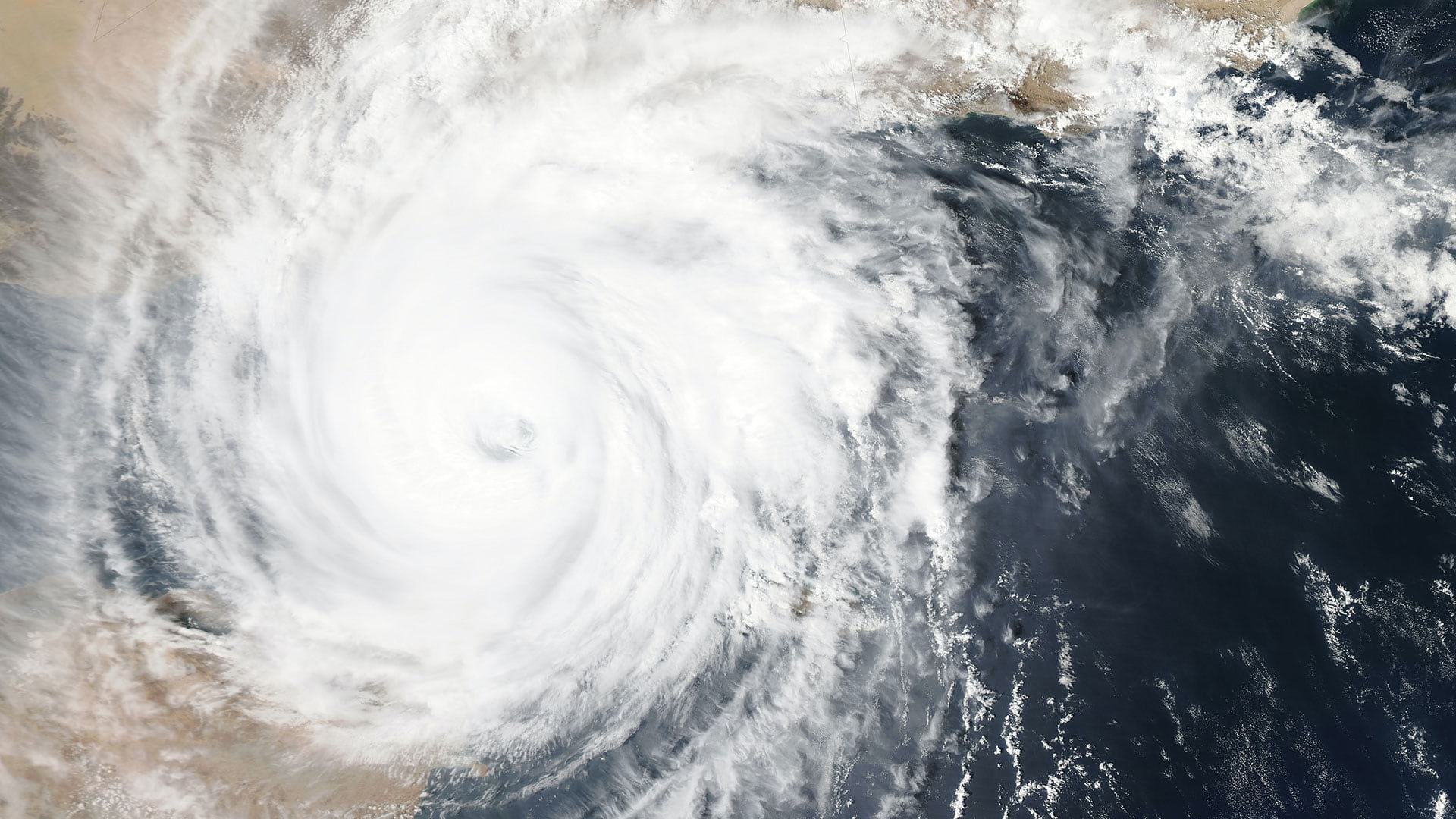
That’s a complex proposition for the nearly 250,000 people who call this coastal community home. Norfolk has long hosted the world’s largest naval base; water itself drives employment here. But water also represents a threat to the city, which has the East Coast’s highest rates of sea level rise.
Spencer and others in Norfolk are using location intelligence to shift the local narrative from one of climate challenge to opportunity. And they’re not alone. Cities around the world are using location intelligence to build resilience by figuring out where climate risks are and where they will emerge, then creating smart maps to understand where adjustments can be made and what their impacts will be.
“Norfolk’s been around for 400 years,” Spencer says. “I feel like my job is to make sure we’re around for another 400 years.”
The Business Case for Climate-Resilient Cities
Climate resilience is increasingly viewed as a lever for a city’s economic development. Traditional selling points, including low taxes, a strong workforce, and easy-access transportation, continue to play a role in the municipal incentive mix; but on their own, they’re no longer enough to woo businesses.
That’s because climate risks like sea level rise, expanded floodplains, wildfires, storms, and excessive heat threaten businesses’ physical assets, employee safety, infrastructure services, and everything in between. Research shows that climate-related threats have the potential to drive a decrease in US GDP. As business leaders consider how to buffer their assets against climate change, they will look harder at the risk profiles and resilience of the cities they call home—or may call home in the future. Many of their stakeholders and partners are already doing so.
Insurers like Freddie Mac have long said climate risks could destroy billions of dollars’ worth of property and displace millions of Americans. Now, real estate investors are echoing those concerns and factoring climate risk into decisions about where to invest. And companies like AT&T are using predictive location intelligence to anticipate climate risks decades in advance. City officials shouldn’t be surprised to see similar caution among executives who plan restaurants, professional offices, big-box retail stores, and entertainment venues.
That’s a compelling rallying cry for cities to shore up their efforts. More have been heeding the call over the last 10 years. In 2013, the Rockefeller Foundation created the 100 Resilient Cities network to foster collaboration among municipalities building resilience against physical, social, and economic challenges. Norfolk is among the 100, and Spencer says he’s leveraging the network’s insight to shape resilience.
Twenty-three hundred miles away, Phoenix, Arizona’s chief sustainability officer Mark Hartman says his city is doing the same.
“To have a great quality of life for everyone while enhancing nature is the overall goal,” he tells WhereNext. “Actually, that’s what attracts business and people to move here. Businesses look for sustainability and resilience in cities, so a lot of our pitch is how resilient we are.”
While Norfolk works to stop or redirect the flow of water, Hartman’s team is using location intelligence to redefine resilience in the country’s hottest city. Extreme heat kills more Americans every year than all other weather-related hazards. Phoenix officials are using geographic information system (GIS) technology to get a clearer view of where the city should step up efforts to mitigate high temperatures and improve water preservation.

Incentives for companies locating in resilient cities can include more reliable asset protection, decreased liability costs, employee and customer safety, and less risk of business interruption.
A Tale of Two Cities and One Technology
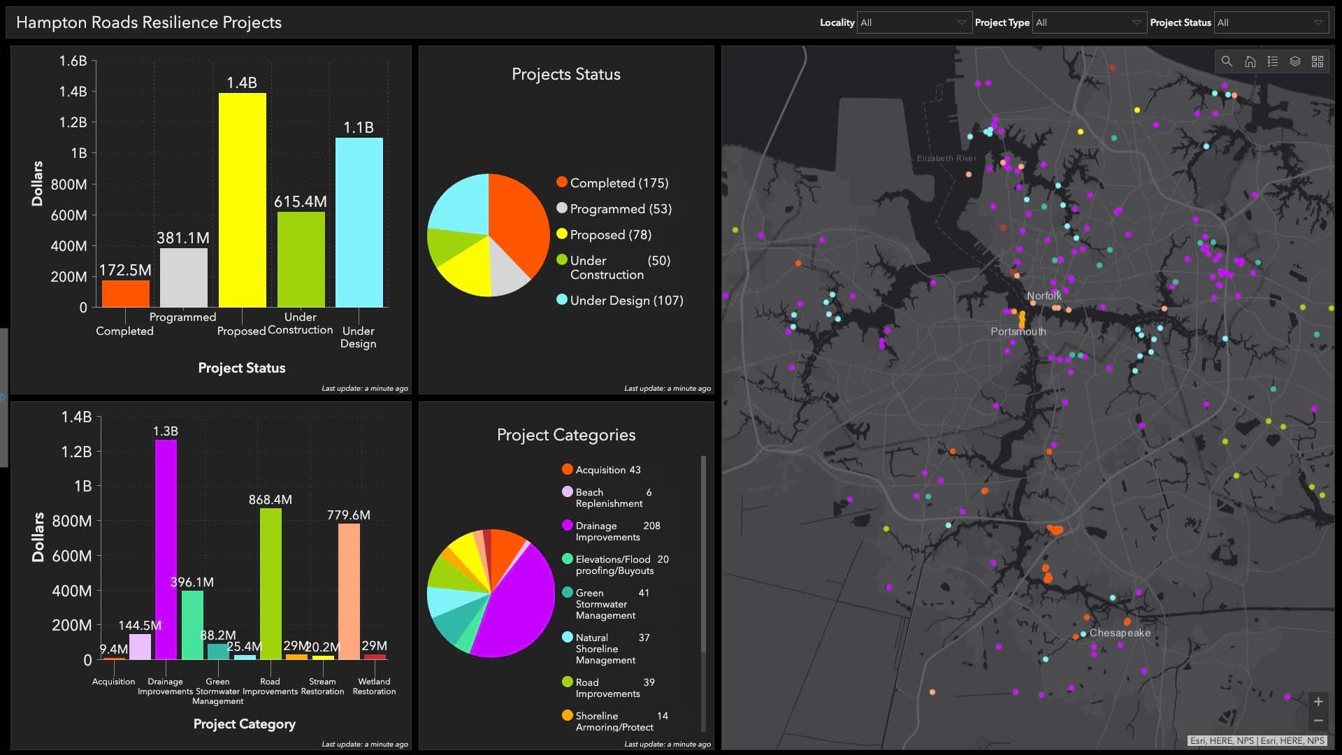
Spencer and Hartman are leveraging smart maps to lay the groundwork for everything from seawall extensions that defend against the Atlantic Ocean to cool corridors created by tree plantings along Phoenix’s hottest streets. “GIS—I think of it as the backbone of our resilience work,” Spencer says.
He and others in the Norfolk region have created a network of flood and tide gauges that use GIS maps and dashboards to show water depth anywhere in the area, every hour of the day—a digital twin designed to monitor risk. On a micro level, it empowers a city worker to make real-time safety decisions. On a macro level, it helps Norfolk officials anticipate storm events and operationalize emergency services. Knowing more about the water’s movement empowers city leaders to plan and build accordingly.
Now, Norfolk is in the design phase of a multi-million-dollar infrastructure project that employs GIS to model the way water moves through pipes coming inland from the river. With data from strategically placed sensors, officials can analyze the flow and build resilient infrastructure that creates the predictable conditions businesses need to invest.
Back in Phoenix, Hartman’s team is using location intelligence to plan innovative ways of bolstering the city’s resilience to high heat and low rainfall.
“Adversity is a midwife of resilience,” Hartman says. “The fact that we’ve been 100 years in a desert environment means that we have adapted and learned, and that’s our forte . . . .. We’re working on a GIS-related plan to be heat ready.”
Phoenix used smart mapping to identify areas where cool pavement technology, or trees that create cool walking corridors, can deliver the biggest impact for residents and businesses. It’s also using GIS to spot issues that can lead to water loss before it happens.
For example, a dedicated team within the municipal water department maintains smart maps that prioritize capital improvements to replace aging pipes and predict how much water a property will draw for landscaping. At the same time, a robust groundwater management plan has distinguished the city as a national leader in water recycling.
“In Phoenix, even with climate change impacts to renewable surface water supplies, we have enough water for 100 years and beyond,” Hartman says.
Those efforts amplify Phoenix’s draw as an energy-efficient city. They also allow the municipality to address climate resilience through the lens of social cohesion.
Climate Resilience as a Bridge to Inclusive Communities
“When you talk about resilience, it really is making sure everyone is resilient and looking at vulnerable populations,” Hartman explains. “Because if we talk about a heat wave coming, it’s actually the vulnerable populations who are most at risk. It’s not the same risk for everyone.”
Phoenix is working toward an overall tree canopy of 25 percent by 2030. Tree-lined streets cool down neighborhoods and lower the city’s temperature. That helps homes and businesses cut back on energy use. It also promotes outdoor activities, including shopping, and makes it easier for residents to manage trips to work or school. But the tree canopy is much more limited in the city’s low-income, heat-vulnerable neighborhoods.
So while the city’s walkable urban code mandates 75 percent shade in new developments, Hartman is looking to improve existing neighborhoods, creating smart maps that show heat indexes in areas where targeted tree planting can improve quality of life and a neighborhood’s economic vibrance.
“If someone’s transit dependent, they need to walk outdoors on the days that it’s 120 degrees and find their way to the bus stops and navigate around the city,” Hartman says. “We need to say, ‘Okay, if we’re going to plant trees and create cool corridors, we need to do those in vulnerable neighborhoods.’”
Meanwhile, Norfolk is also using GIS-generated location intelligence to identify which residents are most vulnerable to climate change. Smart maps have empowered the city to prioritize floodwall extensions in the downtown core that will protect the public housing being built nearby. The maps reveal where flood protection will make the greatest difference.
Spencer and Hartman say maps help them explain resilience work to the city’s stakeholders, including those in the corporate world.
“A lot of businesses are now starting to notice that we do have their best interests in mind,” Hartman says. “We are going to try to take care of them the best we can. We’re going to do our part, but we also have strong messaging around them doing their part.”
Purpose-driven companies are growing three times faster than competitors and achieving higher employee and customer satisfaction, and they’re likely to be drawn to cities that also prioritize climate action and resilience.
Spencer says, “We’re winning large, hundred-million-dollar grants to do all this [resilience work], and we see the change in real life.”
A Resilient Future Is a Collaborative Future
Building purpose-driven communities attractive to residents and sustainable for businesses in an age of climate risk will take strong teamwork.
Norfolk and Phoenix have leaned on fellow city officials stateside and abroad since their earliest forays into resilience building. Cities have become increasingly open to sharing what they’ve tried, and what’s worked well. That leads to solution leapfrogging and accelerates progress in locations around the world.
For Spencer and his floodplain maps, that means more families and businesses can exist in harmony with the water. For Hartman, it means using GIS to drive cooler conditions for Phoenix residents and businesses.
“I think people and businesses are looking from the outside in and [saying], ‘They’ve got some problems, but they’re working pretty hard to solve them, and I think they’re going to,’” Spencer says.
The Esri Brief
Trending insights from WhereNext and other leading publicationsTrending articles

December 5, 2024 |

May 26, 2026 |

June 2, 2026 |

June 23, 2026 |

June 9, 2026 |

April 7, 2026 |