displaying 2593 results
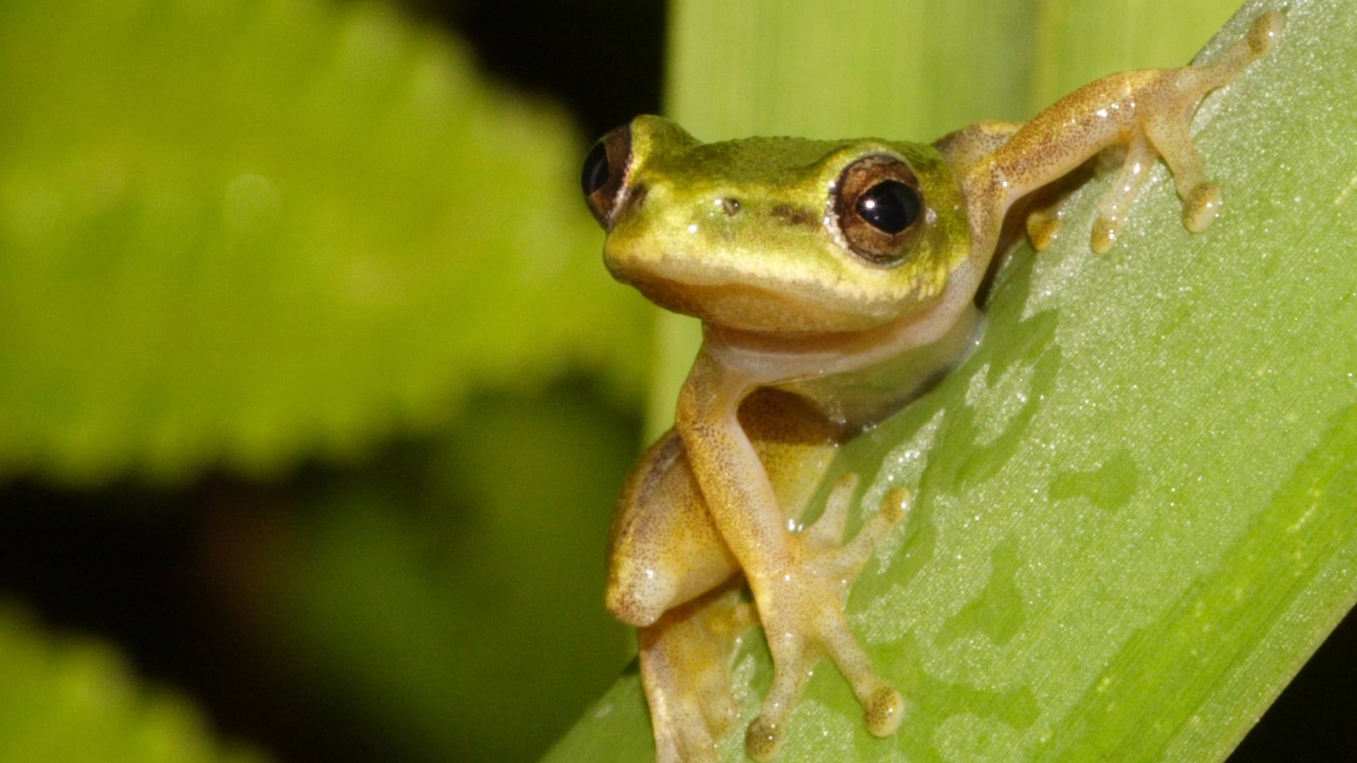
The fate of South Africa's endangered Pickersgill's reed frog was transformed by mapping habitats and studying what caused them harm.

A digital twin of a factory can uncover inefficiencies, optimize production processes, and create safer working environments.

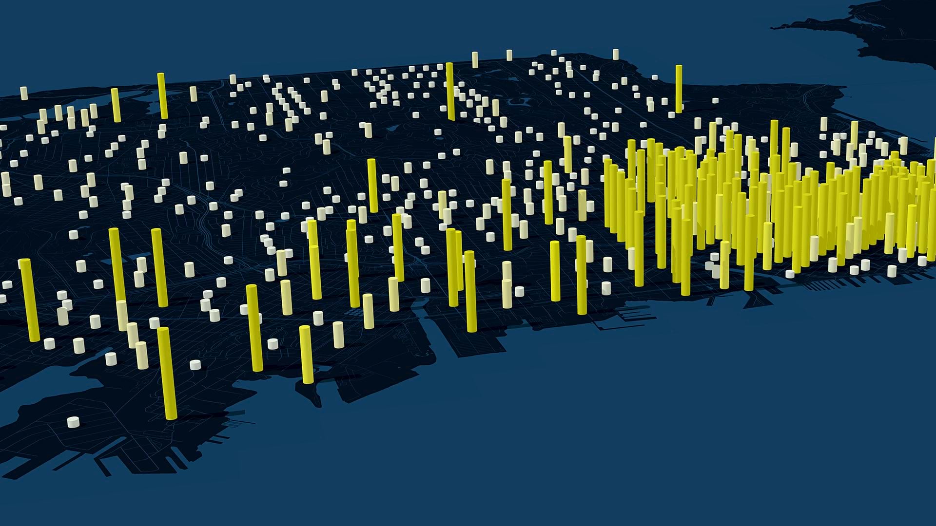
Denver transformed its printed stormwater drainage plan into an interactive online portal, making flood risk information easily accessible.
This new integration introduces Esri’s authoritative geospatial reference data into Autodesk Forma to transform design and planning.
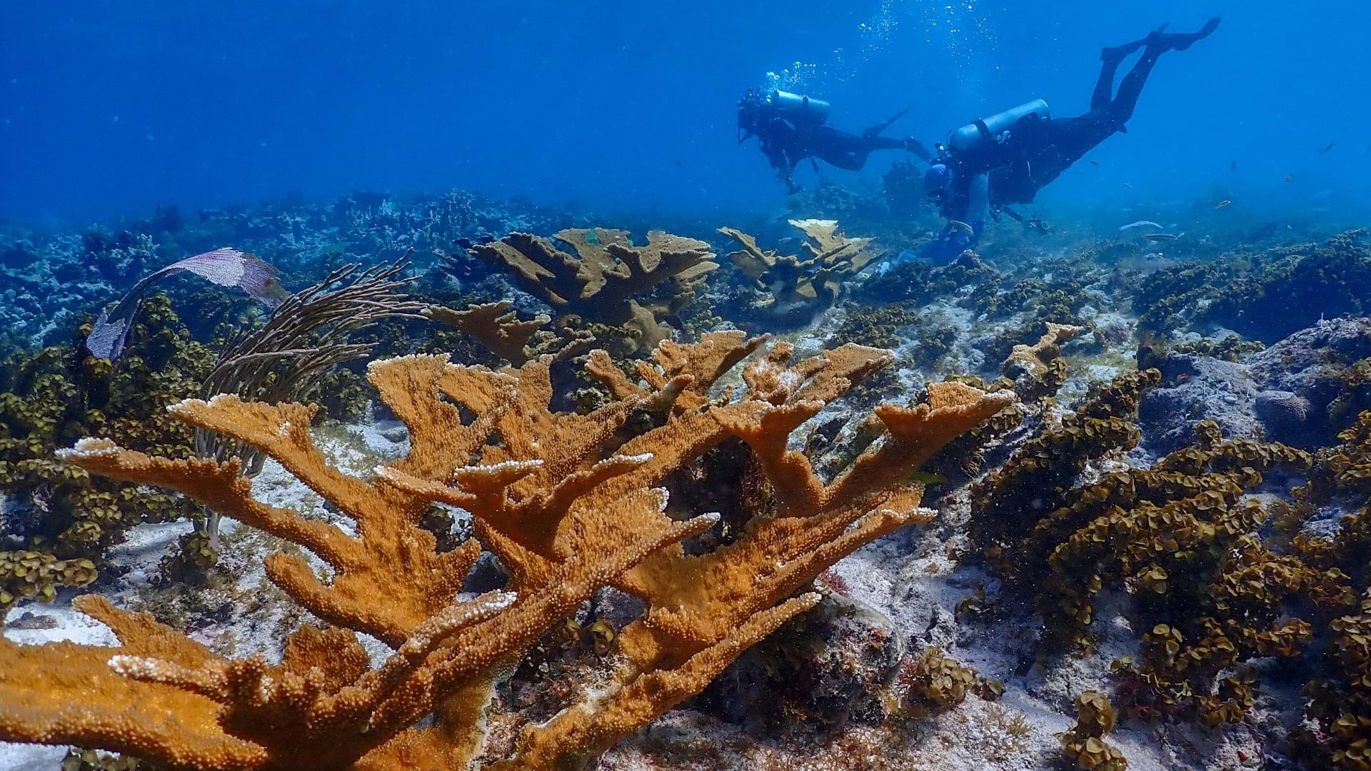
The Nature Conservancy applies geospatial AI and an environmental digital twin to guide the restoration and protection of Caribbean coral.
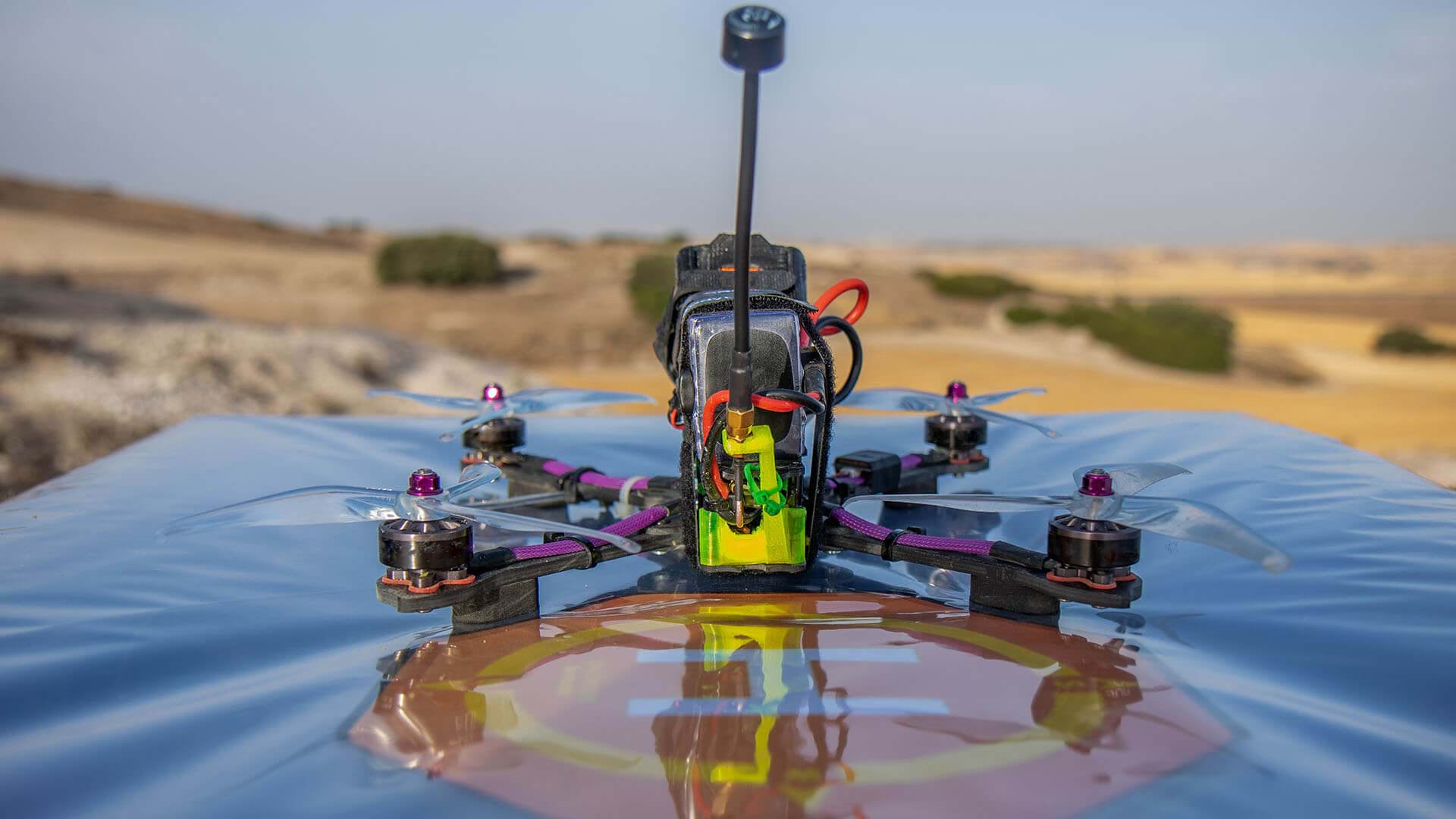
Connecting drones with GIS, two well-known companies reveal very different use cases—and the benefits of each.
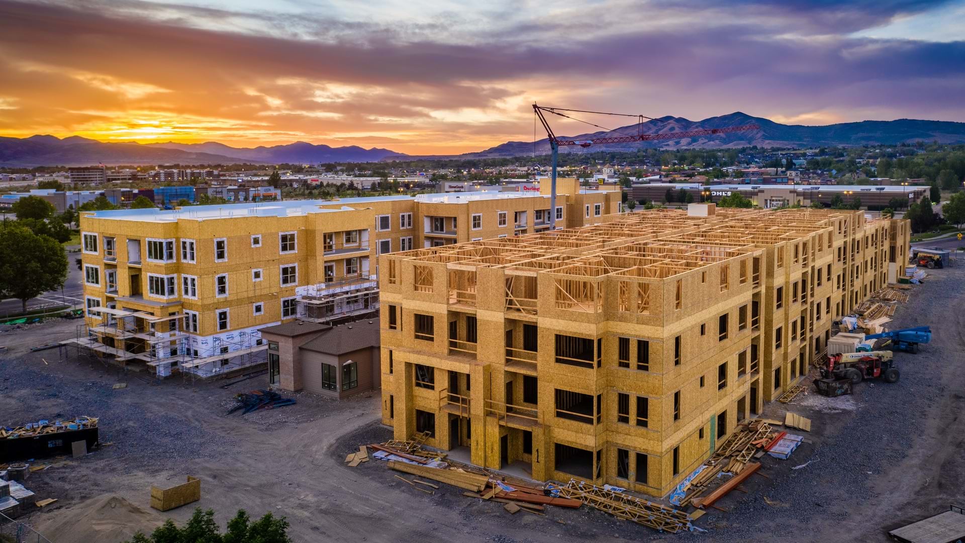
States like Oregon, Utah, and Colorado leverage GIS to map housing opportunities to accelerate affordable housing with community support.
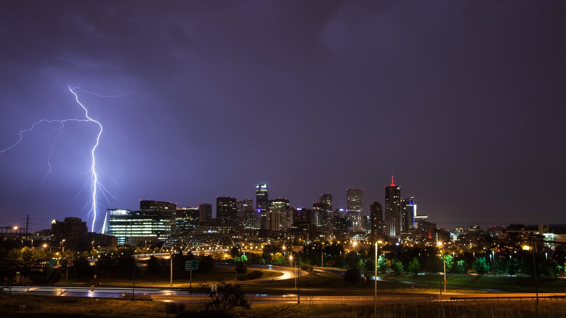
Denver is providing more people with information about its flood risks by taking its bulky, printed stormwater drainage plan online.
Expanding a business is a major investment accompanied by significant risks. Savvy executives are looking at demand signals in a new way.
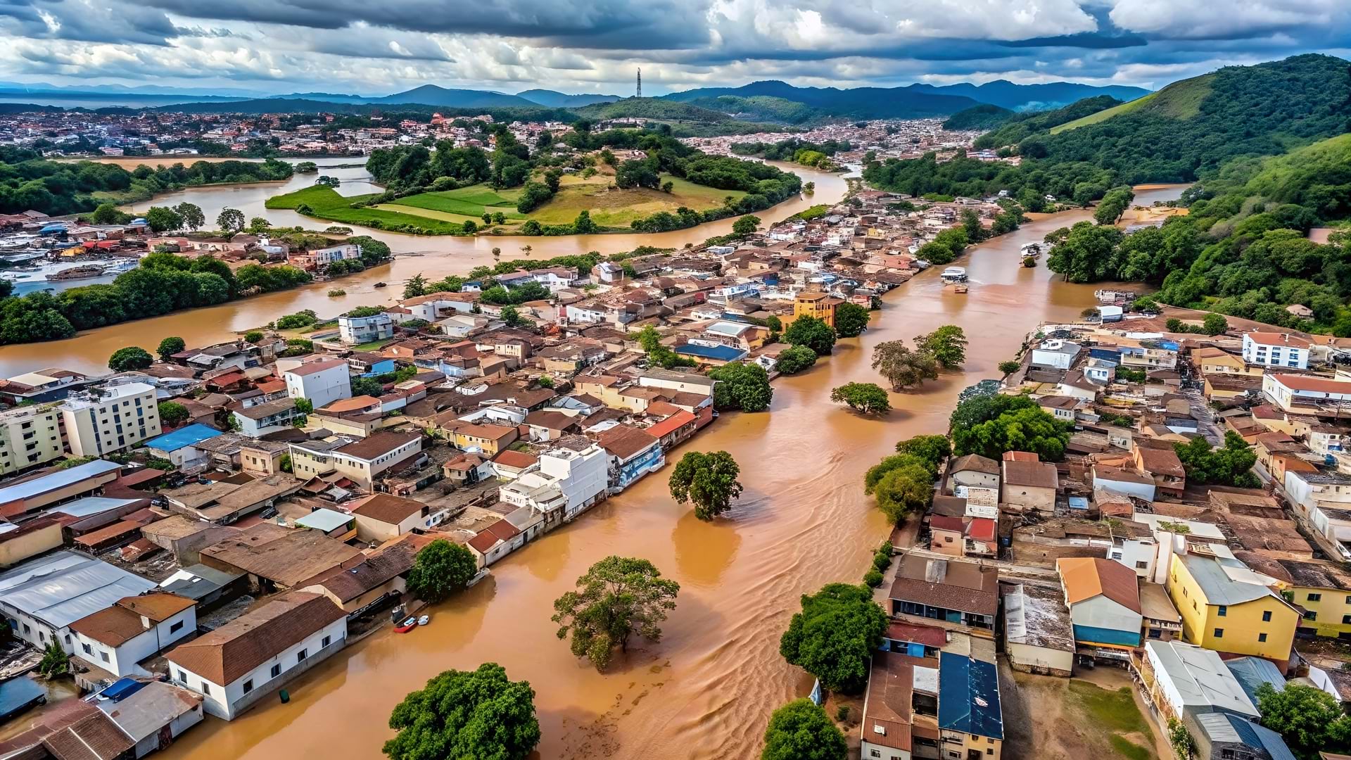
When catastrophic floods hit South Brazil, GIS company Codex turned personal tragedy into purpose, creating 17 emergency response apps in 30 days

VHB tech enablement SVP Steve Anderson elegantly merges technology and talent to innovate new solutions, like a solar site selection app.

Victoria’s Department of Transportation and Planning has developed innovative custom web apps that streamline processes and cut manual work.