Steven is a Product Engineer on ArcGIS Living Atlas of the World's Policy Maps team. He is interested in transportation, housing, and demography. Steven enjoys a good chicken wing or 12.
Steven is a Product Engineer on ArcGIS Living Atlas of the World's Policy Maps team. He is interested in transportation, housing, and demography. Steven enjoys a good chicken wing or 12.
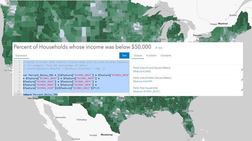
Five ways Arcade enhances maps: American Community Survey example
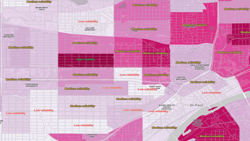
The National Risk Index Map is an interactive map with several features for visualizing natural hazard risk.
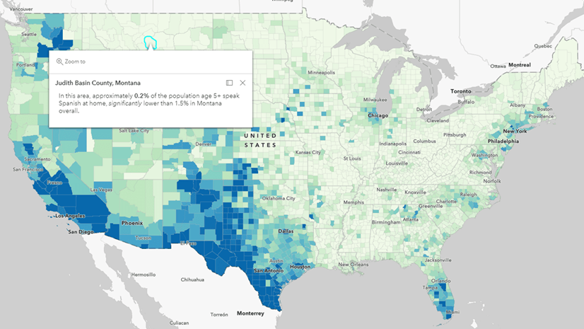
From advocacy groups and citizens to official state redistricting commissions, all have access to this newly-released data through Living Atlas.
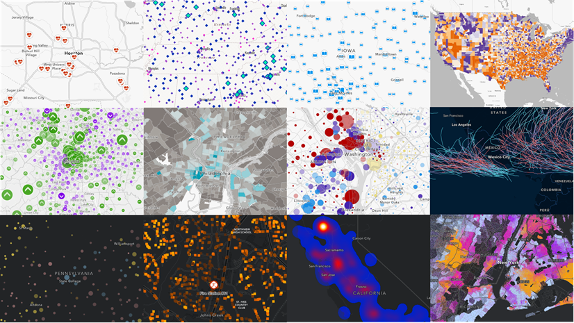
New ArcGIS StoryMaps collection on smart mapping
Create labels in Map Viewer using margins of error for American Community Survey data.
Use the margins of error in an Arcade expression to highlight significant differences between two American Community Survey (ACS) estimates.
Many 2010 - 2014 ACS layers have been added to Living Atlas which allow comparisons to the most recent 2015 - 2019 values.