
Michael Beavers
Michael Beavers is Esri's Airports Industry Solutions Specialist, leading global airport marketing strategies. He has extensive subject matter expertise, with a background as an Air Force aviator, commercial airline pilot, and GIS Manager in both private and public sectors. Michael earned his B.S. from Texas State University and a master's from New Mexico State University that focused on Geographic Information Systems. He holds Airline Transport Pilot and Remote Pilot ratings and enjoys flying his high-performance aerobatic aircraft.
Posts by this author
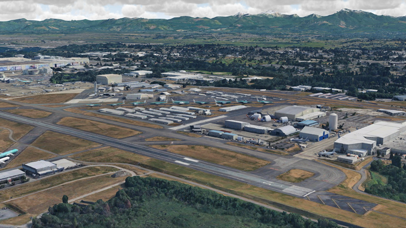
From Spreadsheet to Shared Awareness
Seattle Paine Field International uses ArcGIS for capital improvement project tracking and coordination.
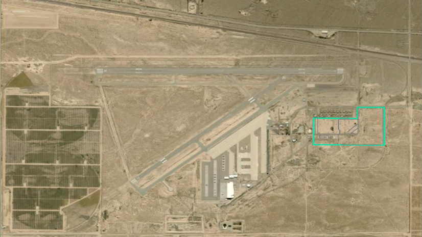
GIS Turns Airport Land into a Managed Construction Asset
How GIS transformed airport land into a managed construction asset for a major transmission infrastructure project.

See What Others Can’t – Making the Airport Experience Accessible with GIS
Make airport travel more accessible with ArcGIS Indoors, ADA-compliant maps, and inclusive wayfinding technology.

How GIS and AI Turn the SMS Mandate into Continuous Airfield Safety
Learn how airports use GIS and AI to support FAA SMS compliance with continuous inspections, risk monitoring, and data-driven safety.

From Paper to Real-Time Ramp Awareness
Turn aircraft parking into a real-time digital twin with map-based planning, field updates, and shared awareness.

GIS Brings Airport Terminals into Focus as Indoor Digital Twins
Bring location intelligence indoors with digital twins that connect airport spaces, assets, people, and workflows.
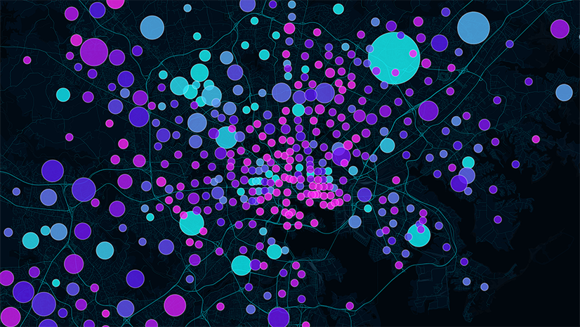
Convert Congested Curbs into Intelligent Airport Operations
Transform airport curbside congestion into operational intelligence with GIS, GeoAI, and real-time location analytics.

Weather Intelligence for Airports: Turning Data into Action and Content into Currency
Airports use ArcGIS weather intelligence to improve safety, situational awareness, and real-time operational decision-making.
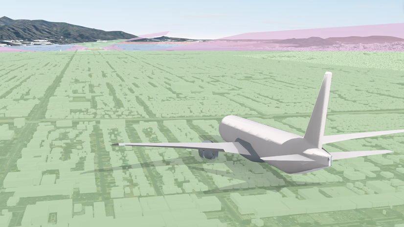
The Business Cases for GIS‑Based Obstacle Analysis
Obstacle analysis helps protect airspace, communicate risk, and ensure compliance. Explore the 8 business cases for GIS-based obstacle analysis.