
Most recent
Washington City Power Modernizes with ArcGIS Utility Network
Since implementing ArcGIS Utility Network, WCP has seen significant operational improvements.
Veitur Utilities Builds a Connected, Data-Driven Enterprise with ArcGIS

Facsa’s GIS Journey: From Paper Maps to a Spatial Digital Twin

On the Way to the Connected Digital Twin: DB Systel Relies on GIS and Location Services

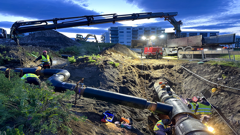
Faster Fixes, Smarter Apps: NES Transforms Storm Damage Workflow
Conway Corp Powers Up with ArcGIS Utility Network
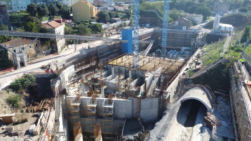
Lisbon’s Drainage Master Plan Is Transforming Flood Resilience with GIS, BIM

Clallam Public Utility District Extends NISC Mapping For Added Value

Digital Twins at the 2024 Esri User Conference
Guadalupe Valley Electric Cooperative Streamlines the Pole Joint Use Process

Lauren Salazar| May 23, 2024
Exploring the Future of Infrastructure Management and GIS

A tale of two sessions – Digital Twins large and small
An ArcGIS Utility Network Reading List - Electric Utilities

Sharpening the Tools That Transform Utility Arborists' Workflows
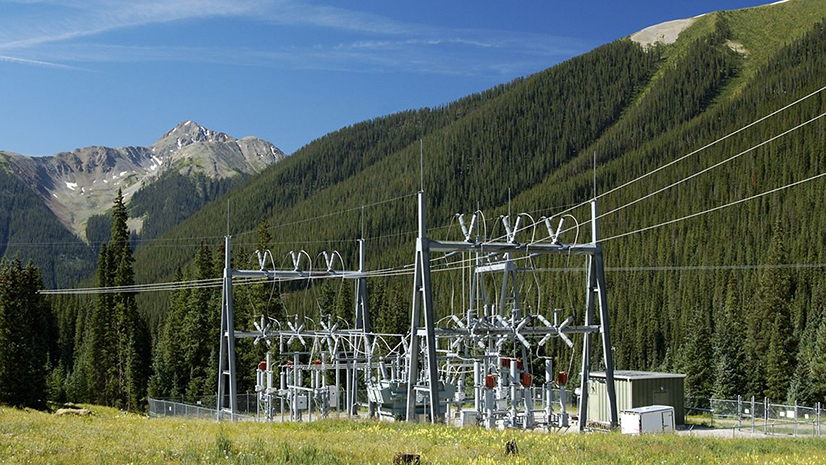
Grid Modernization Readiness

Matt Piper| August 25, 2021
IoT and GIS—Creating the Nervous System for Digital Twins

Multiple Authors| February 4, 2021