
Most recent
One Company, Two Utilities: Utility Network Assessment
TXNM combined PNM and TNMP GIS's using the ArcGIS Utility Network.

Faster Fixes, Smarter Apps: NES Transforms Storm Damage Workflow

What the New User Types Mean for Planning Departments

Phoenix, Axis, and mPower Modernize Fiber Management for Mansfield Electric
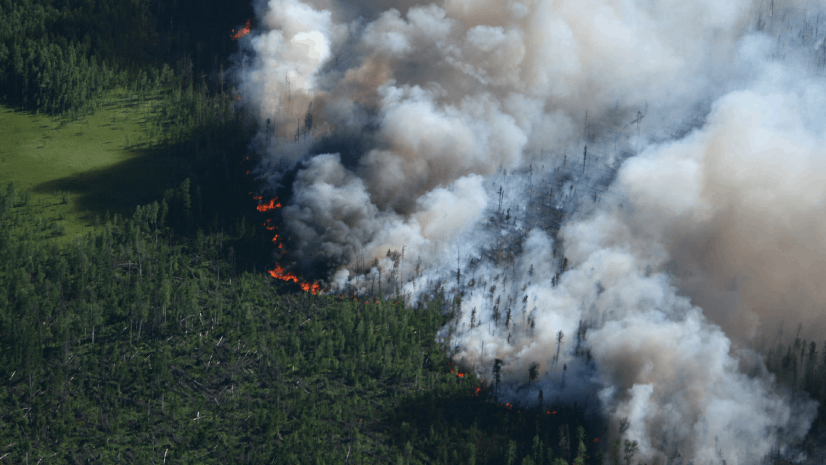
What’s Burning and Where? Essential Apps and Reports for Wildfire Situational Awareness
Esri Water|
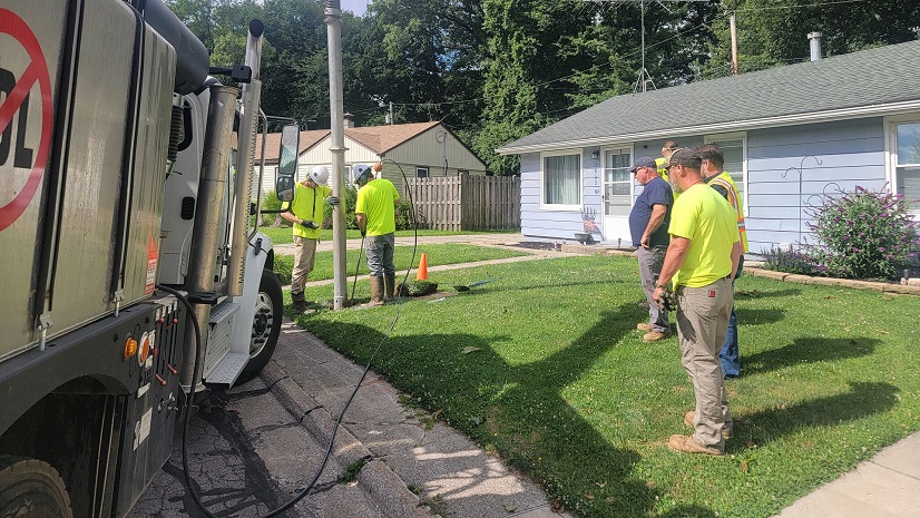
Building Transparency and Added Value into Lead Service Line Discovery and Replacement with GIS Solutions
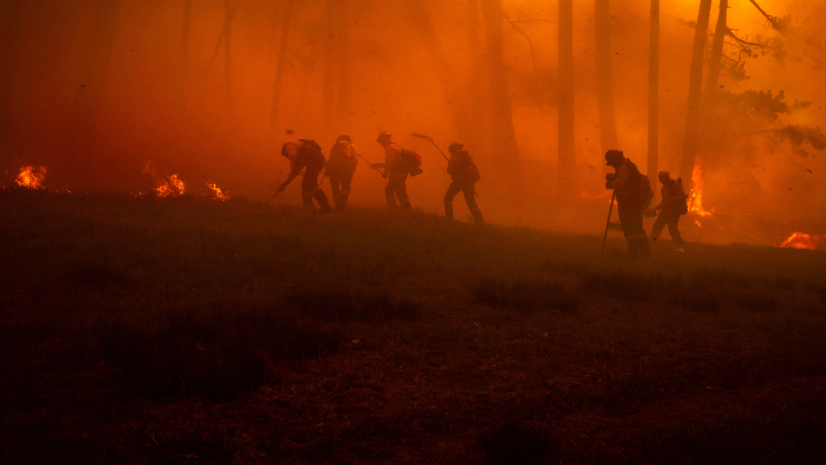
Building Your Wildfire Toolkit: A Quick Start Guide to Wildfire Intelligence
Multiple Authors|
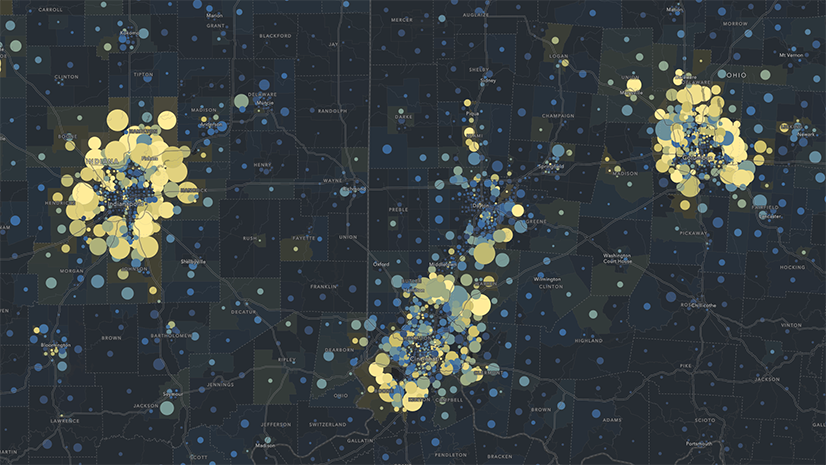
Beyond Epi Info: Embracing the Next Generation of Public Health Analytics with GIS
Multiple Authors|
Mapping Accountability: A Geospatial Approach to Combating Fraud, Waste, and Abuse

Inside the Dashboard: A Look at Real-Time GIS for Tailings Management

Shaping the Future of Energy with ArcGIS

Esri Water|
Streamlining Stormwater Outfall Inspections with GIS Solutions