Most recent
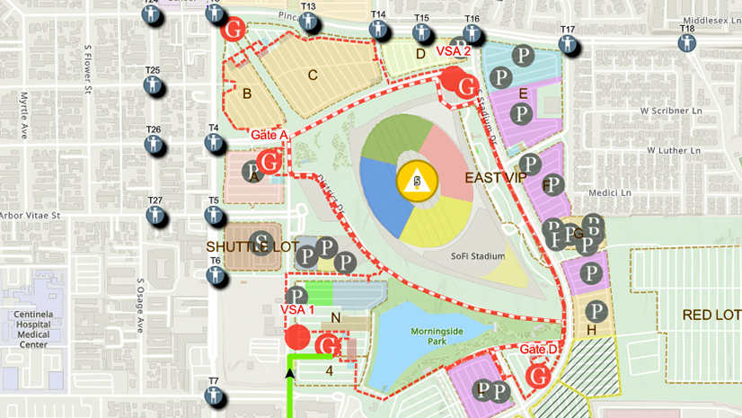
One City, One Common Operating Picture: How Inglewood Used ArcGIS to Support World Cup Operations
As FIFA World Cup 2026 hit North America, Inglewood, CA had its own high-stakes story: how technology helped the city keep pace.

Esri Water|
From Data to Decision-Making: How GIS Powers Hawaii’s Cesspool Replacement Efforts
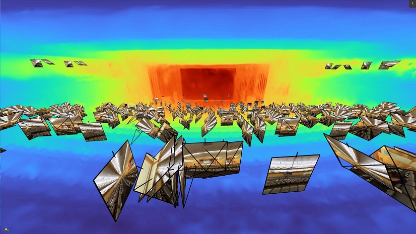
GeoAI, Reality Capture, and the Future of Digital Twins

Mapping Change: GIS Empowers Nonprofits
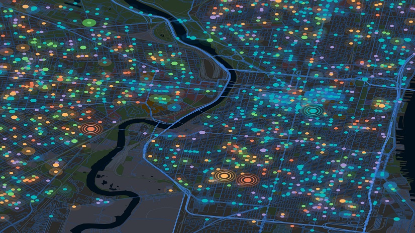
Harnessing the Power of Public-Private Partnerships in Public Health
Multiple Authors|
Taking Flight: Real-Time Aircraft Tracking with ArcGIS Velocity and FlightAware
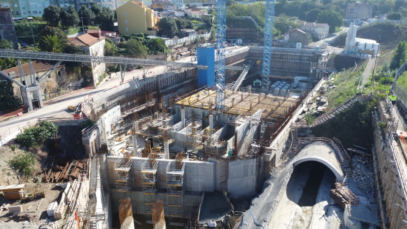
Lisbon’s Drainage Master Plan Is Transforming Flood Resilience with GIS, BIM

Leveraging Geospatial Artificial Intelligence in Emergency Management
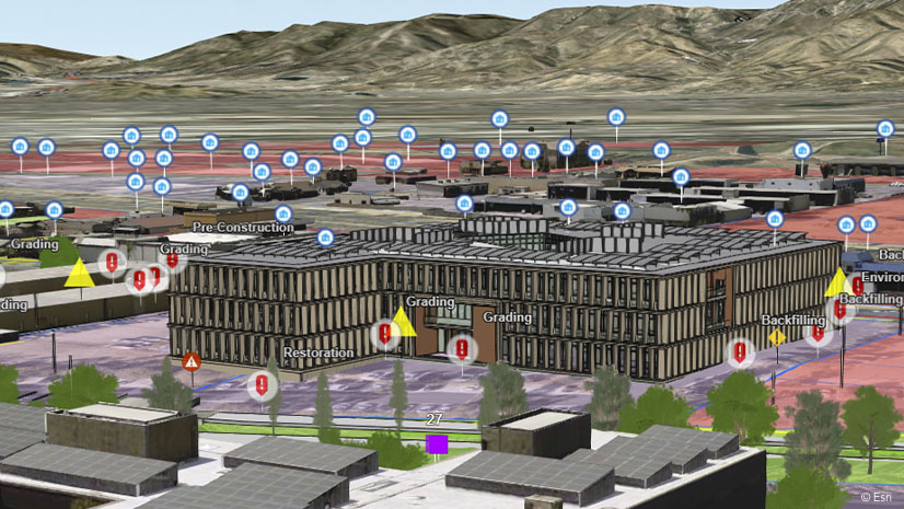
What’s Location Got To Do With It?
Multiple Authors|
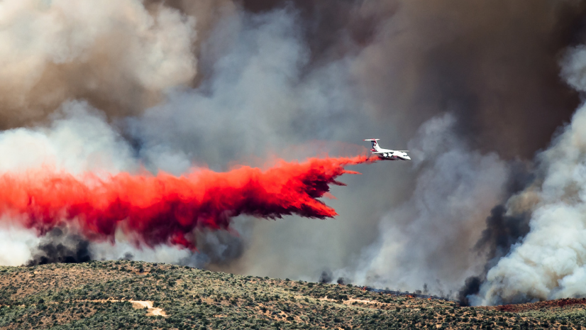
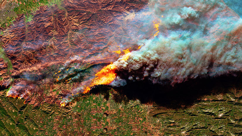
Harnessing Satellite Technology for Wildland Fire Response and Recovery

Multiple Authors|
From Navy Intern to Campus Innovator: Kavin Phabiani's Journey to Founding a GIS Club on Campus
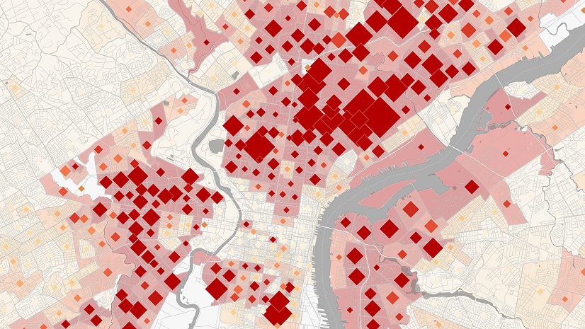
Health GIS 101: The Easy Button

Esri AEC| January 17, 2025