Most recent
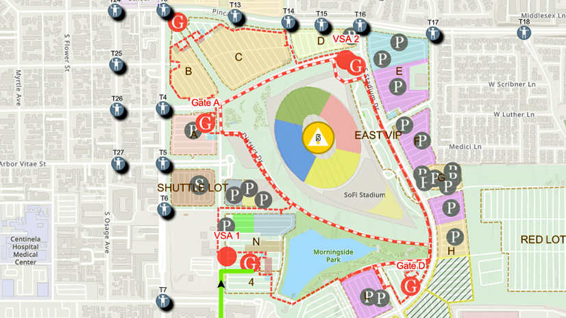
One City, One Common Operating Picture: How Inglewood Used ArcGIS to Support World Cup Operations
As FIFA World Cup 2026 hit North America, Inglewood, CA had its own high-stakes story: how technology helped the city keep pace.
Lorraine Tighe|
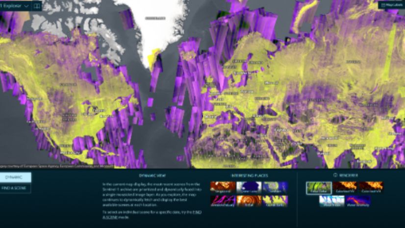
Unveiling Earth’s Mysteries: The Beauty and Promise of SAR and GIS Technology: Part I GIS Helps Demystify SAR

Brooks Shannon|
FCC’s New Rules Propel Next-Generation 911 Forward:What This Means for GIS
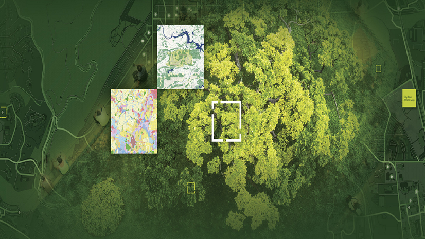
How Two Texas Cities are Blazing a Trail to Smarter Parks Operations with ArcGIS and OpenGov Asset Management

Multiple Authors|
On the Map: Keeping Responders Safe with Real-Time Location Sharing

Esri Water|
Get the Lead Out: CFPUA’s Process from Locating to Replacement of Galvanized Services

Location Intelligence Digitally Transforming Construction

Geospatial benefits in BIM: Esri’s support for buildingSMART International
Multiple Authors|
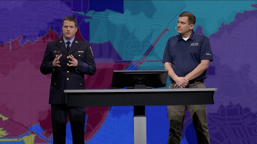
Powerful Team of Two: Revolutionizing Emergency Services with GIS

Brooks Shannon|
Efficient and Configurable: Supporting NG911 with the Address Data Management Solution
Esri Water|
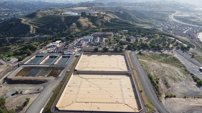
A Unified Approach to Asset Management: Transforming SCV Water’s Management of Linear and Vertical Assets
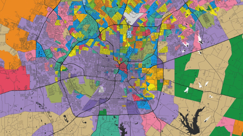
NRF 2025: The Localization and the Return of the Store