Most recent
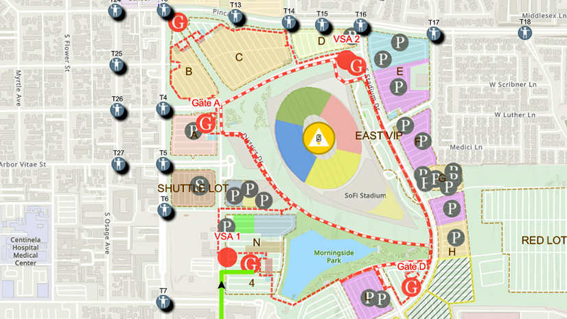
One City, One Common Operating Picture: How Inglewood Used ArcGIS to Support World Cup Operations
As FIFA World Cup 2026 hit North America, Inglewood, CA had its own high-stakes story: how technology helped the city keep pace.
Esri Water|
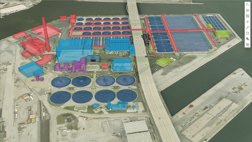
Scalable and Maintainable Solutions for Vertical Asset Management

Public Works Meets AI: Takeaways from APWA’s First AI Summit

Ricklyn Hukriede|
Tracing Ancestral Footprints: A New Chapter for the Grand Canyon

Meet Kevin Kelley at ICSC Las Vegas

How to Transform Code Compliance with GIS

From Reality to Readiness: A Conversation on Digital Twins, AI, and the Future of Reality Capture

Where Geospatial Gets Real: Highlights from the bSI Summit

From Pit to Port

Announcing Esri's Equity & Social Justice Seminar Series
Ricklyn Hukriede| April 10, 2025
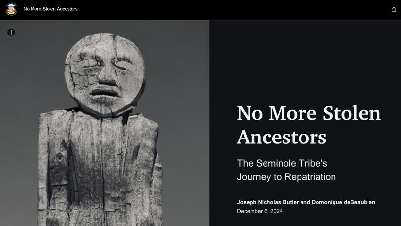
No More Stolen Ancestors: The Seminole Tribe’s Quest for Repatriation
Christa Campbell|
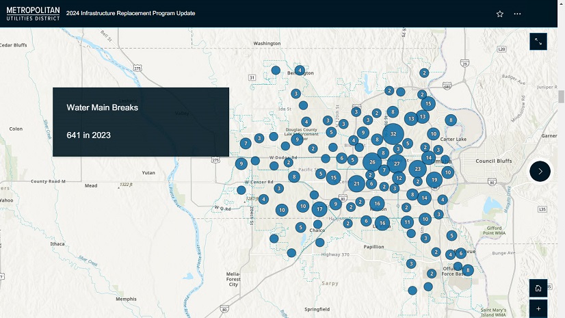
Geospatial Solutions Support Metropolitan Utilities District’s Vision for the Future