A comprehensive GIS—more than utility mapping
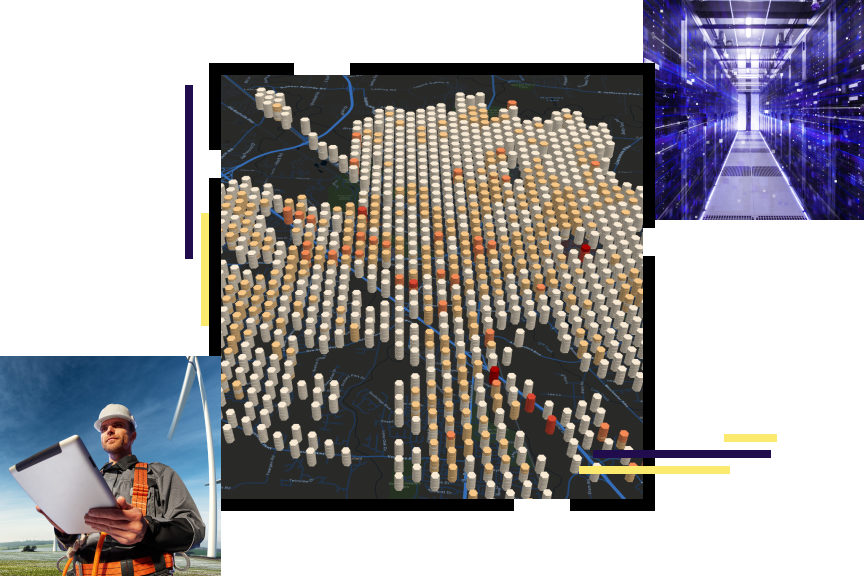
ArcGIS is a comprehensive geographic information system (GIS). It contains all the elements needed to solve utility challenges and includes tools to help you leverage digital maps. The system maintains key information, analyzing and distributing it to everyone that needs business intelligence through a system of record, a system of engagement, and a system of insights.
Electric utilities business areas
Electric utility initiatives
Upcoming event
Attend the 2021 Esri User Conference, July 12–15. This fully virtual event includes technical sessions, user presentations, and more to inspire and enhance your use of GIS.
Training
Instructor-led and self-paced training options help individuals apply best practices and quickly learn ArcGIS software. Esri training consultants provide complimentary planning services to identify the options that will best meet an organization's immediate, short-term, and long-term workforce training needs.