Intelligence Analysis

Intelligence analysts help agencies identify complex criminal activity—criminal networks, extremist threats, and other clandestine activities that can pose threats to the safety and security of our communities. Esri technology helps analysts produce high-quality intelligence products for fast, efficient information dissemination to stakeholders.

Intelligence analysis capabilities

Manage data efficiently

Collect, manage, and integrate data from a variety of sources and formats—imagery, sensors, open-source data, and other location data—to gain a deeper understanding of spatial relationships and identify connections between people, events, and places. Esri tools help analysts spend less time managing data and more time developing intelligence.

Understand data visually

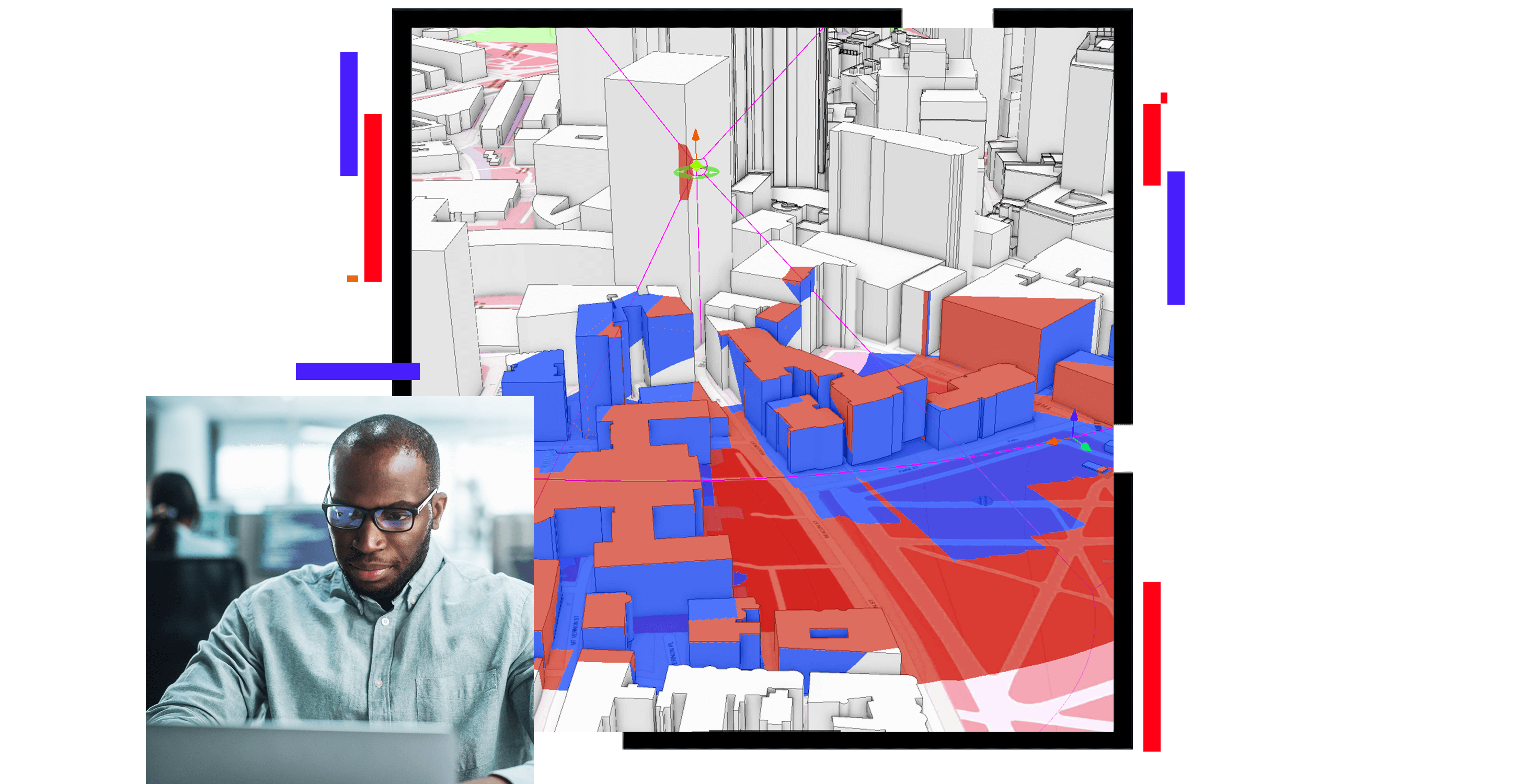
Utilize a variety of advanced tools to conduct spatial, temporal, and relational data analysis. Visualize data to discover patterns, trends, and relationships, using 2D or 3D mapping products, link charts, graphs, timelines, or tables.

Communicate data effectively

Create and share intelligence products with templates and symbology to create industry-standard reports. Distribute to decision-makers and other stakeholders via interactive information products. Deliver intelligence securely in interoperable formats, or print and share intelligence in hard-copy documents.

ARCGIS BLOG

Combating human trafficking

ArcGIS Pro Intelligence assists law enforcement in deploying resources effectively and with focus.

Read the blog post

Products

Previous
Next

Law enforcement strategies

Previous
Next
See public safety industries

Contact sales

Contact us

Outside the United States

Connect with the Esri public safety team