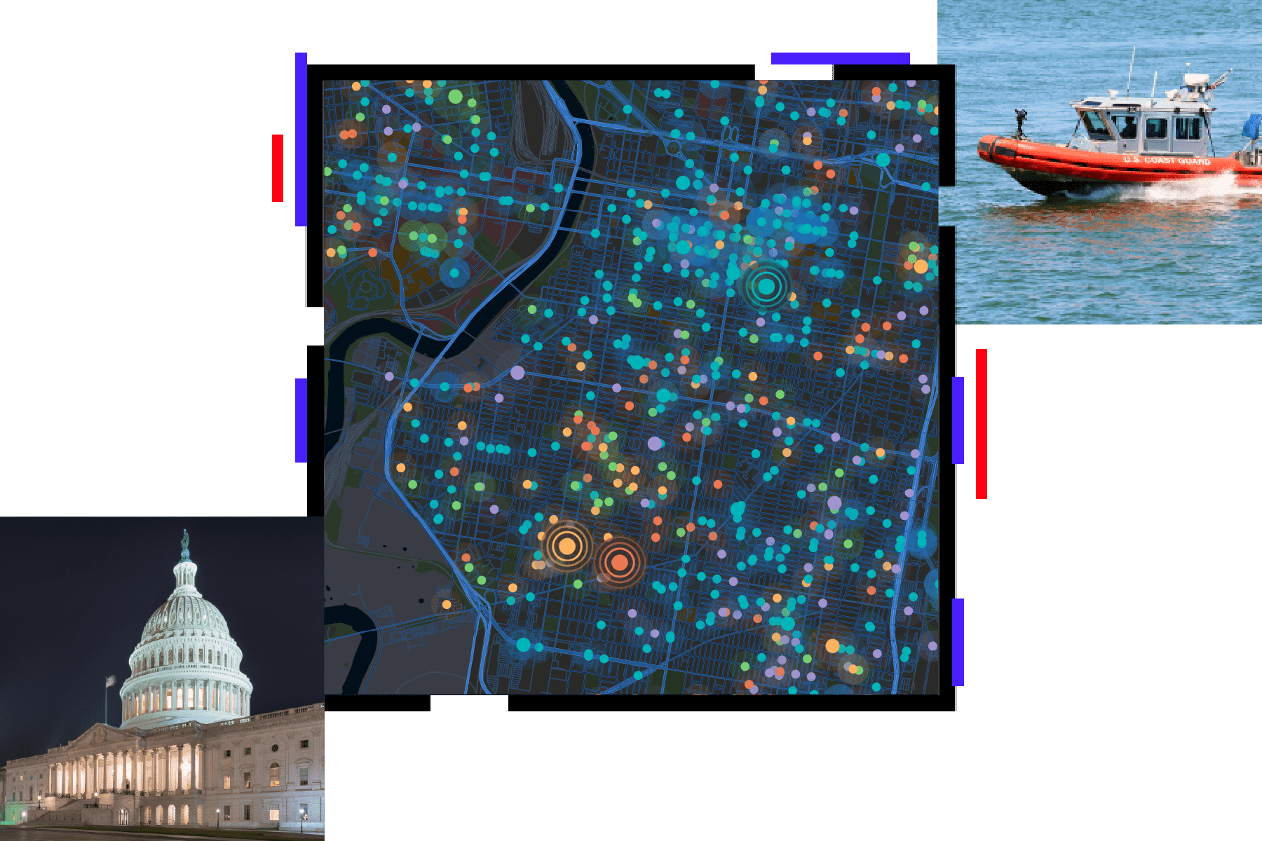
Homeland Security

A complete system to support GIS for homeland security

Collage with a city map scattered with glowing map points, a Coast Guard boat cruising through choppy waters, and the US Capitol building lit up under a hazy night sky

Strengthen the homeland security enterprise (HSE) with ArcGIS, a complete mapping and analytics system. Esri offers authoritative geospatial data, services, and applications for a wide variety of security workflows. Improve national security with actionable, data-driven geospatial intelligence that informs operations.

Previous
Next

Our community

Find resources and connect with the Esri homeland security community to discover new ways to solve problems with GIS.

Two officers looking in the same direction

Contact sales

Contact us

Outside the United States