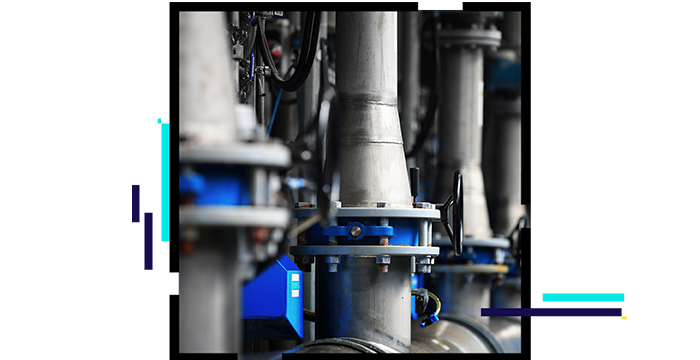
Planning and design integration
Projects using CAD or building information modeling (BIM) products can be seamlessly incorporated into GIS. They are used to visualize a virtual experience in 2D or 3D, providing better understanding of facilities and complex assets. Images or 3D lidar imagery is incorporated to deliver lifelike representations of plants or pump and lift stations.

Create and manage vertical assets
Complex networks within facilities can be modeled as they exist, enabling better understanding of interconnections and dependencies. Infrastructure visualized as 2D or 3D maps, scenes, and schematic diagrams can be integrated with asset management systems and incorporated into wayfinding and searching.

Connections: Sensors and controls
Detailed asset information enables integration with real-time sensors and control systems for visualizing and responding to alerts. Input from those systems and historical data enable analytics to predict failures and understand asset performance under peak demand.
