A Clearer View of the Seas: Mapping the Fishing the World Can’t See
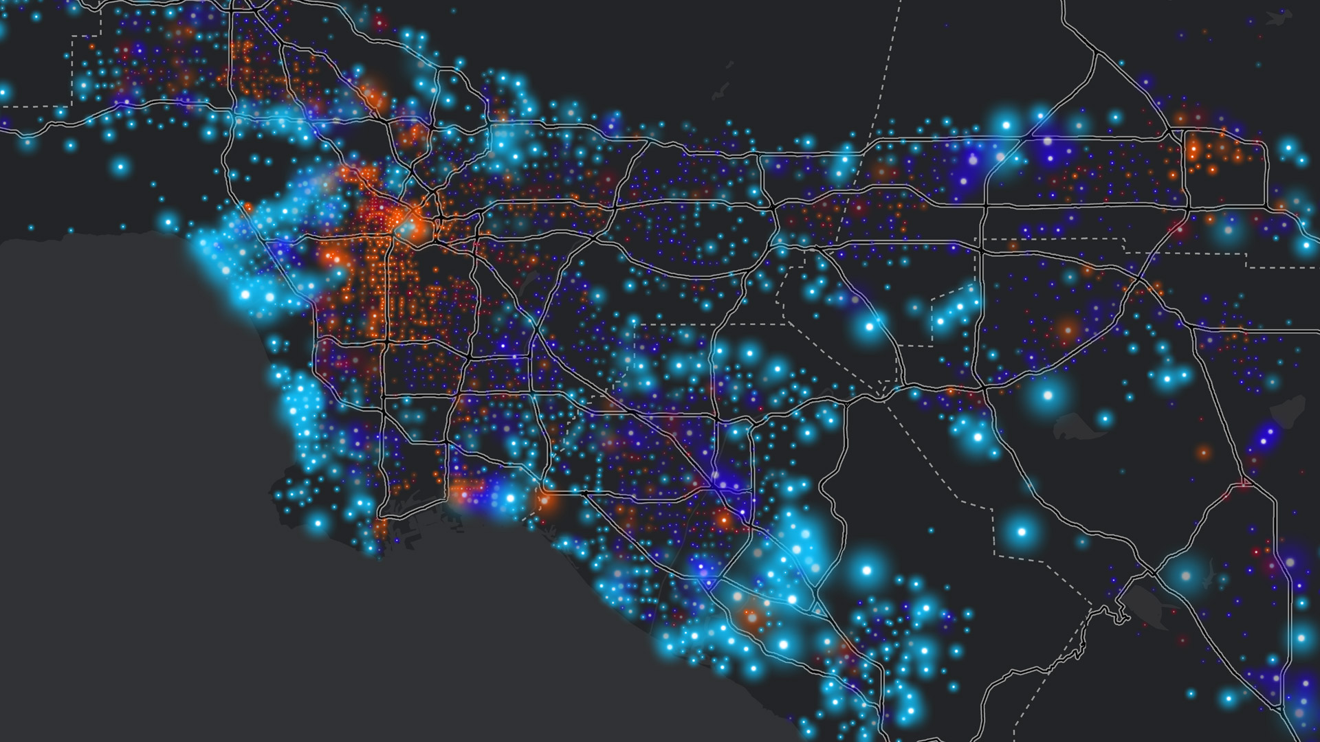
New data layers from Global Fishing Watch are now available in ArcGIS Online and ArcGIS Living Atlas of the World.
New data layers from Global Fishing Watch are now available in ArcGIS Online and ArcGIS Living Atlas of the World.
After moving to ArcGIS Pro, the small team that manages the state’s voting-related street records made the data easier to share and use.
When employees across an organization map, maintain, and access land records from a shared platform, they can prepare for the unexpected.
Native pollinator habitats are under threat. Learn how John Ball Zoo is revitalizing them and engaging communities in conservation efforts.
Interactive maps help the economic development authority support initiatives ranging from affordable housing to small business growth.
ISO 27001 provides additional data protection assurances for organizations around the world that use ArcGIS Online.
The technology is open, interoperable, and secure—and ensures that teams can access the content and tools they need, when they need them.
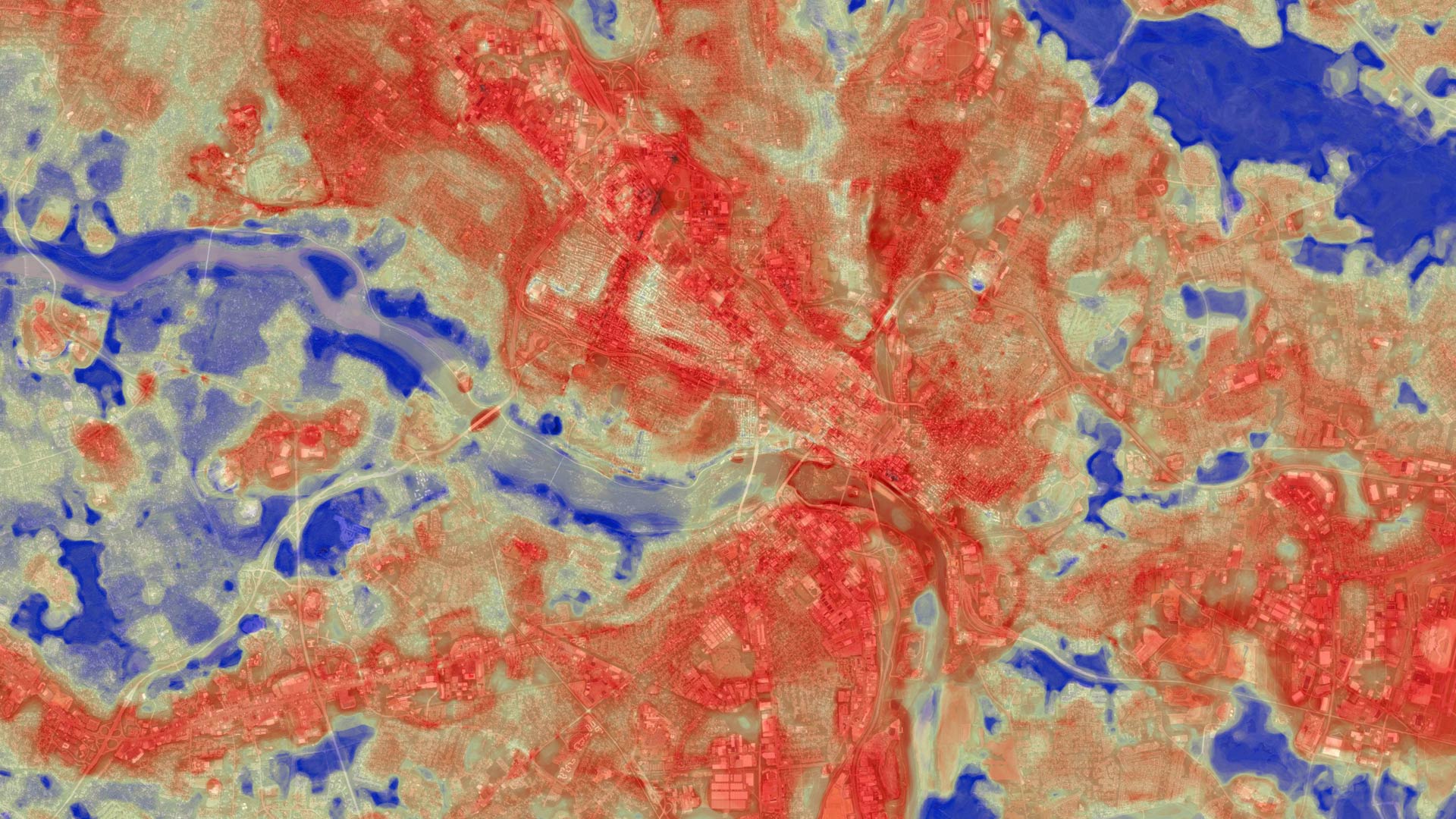
The Annual NLCD Collection represents a new era of land-cover mapping for the United States—and it is available to Esri users.
Find out which data management strategy is best depending on how often data gets updated, where it originates, and other key factors.
After using GIS to collect data and survey parents, Miela Hsu presented her findings to the mayor using an ArcGIS StoryMaps story.
They can create multistep workflows that automate tasks ranging from simple operations to complex analyses.
The product team has recently added templates, the ability to create interactive charts, advanced embedding capabilities, and more.