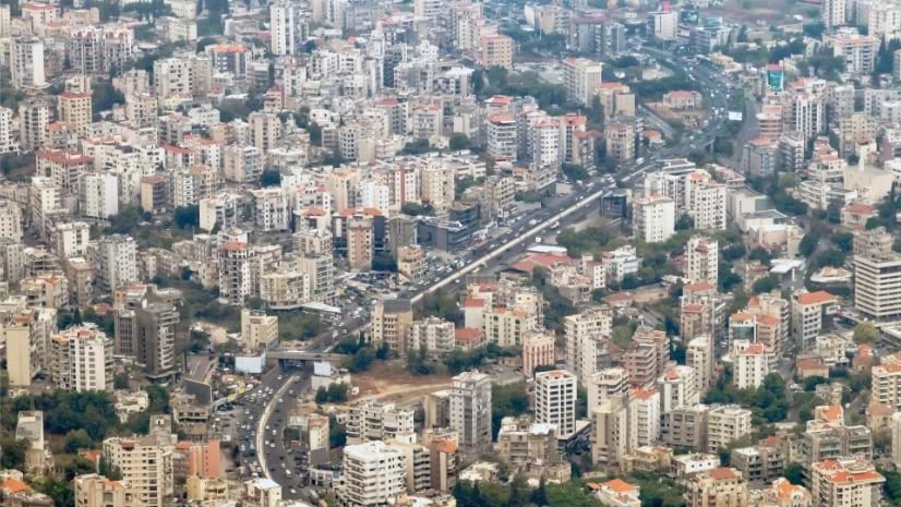
Tracking Displaced People in Real Time: Lebanon’s Crisis Coordination System
Real-time data collection and live dashboards show where shelter, medical teams, and supplies are needed first.
Real-time data collection and live dashboards show where shelter, medical teams, and supplies are needed first.
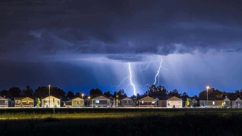
Days before a hurricane makes landfall, a new system transforms storm surge models into live forecasting, helping protect vital assets.
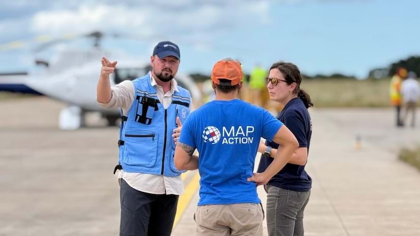
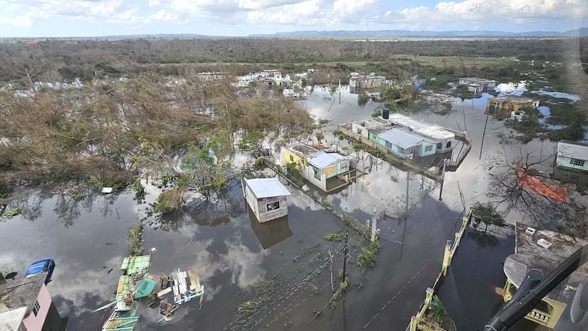
Floodwaters isolated more than 600,000 people. MapAction deployed within days to create maps that would help get aid to places in need.
Operational dashboards and GIS technology enhanced situational awareness, enabling officials to shift quickly from planning to action.
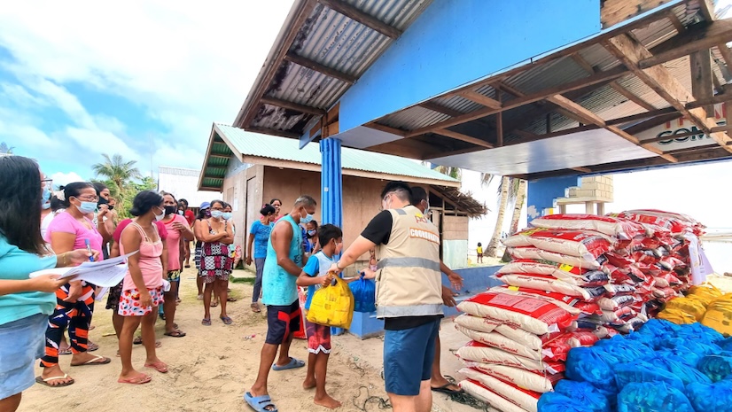
The Philippine Disaster Recovery Foundation transforms emergency response by using GIS to map and monitor hazards and mobilize resources.
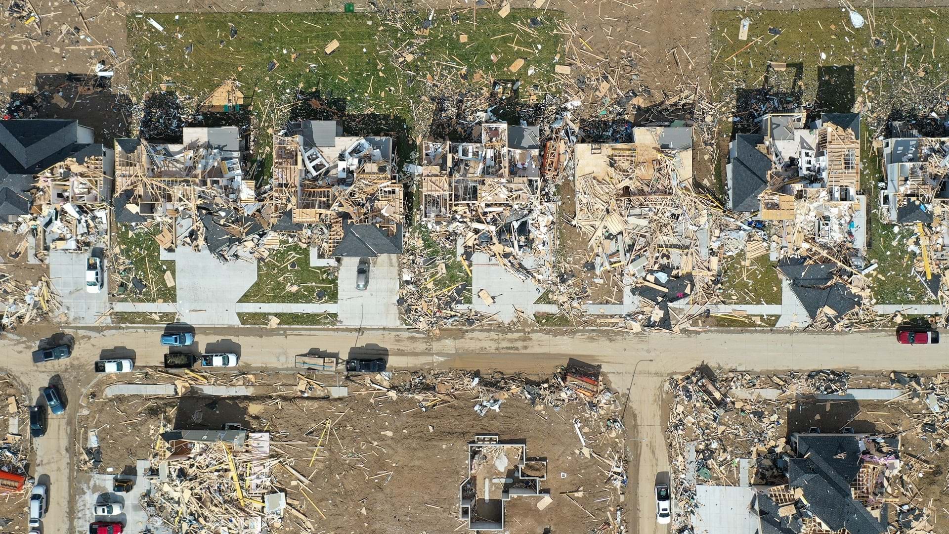
Following a tornado, officials transformed a paper-based process by using GIS technology to collect and visualize damage data in real time.
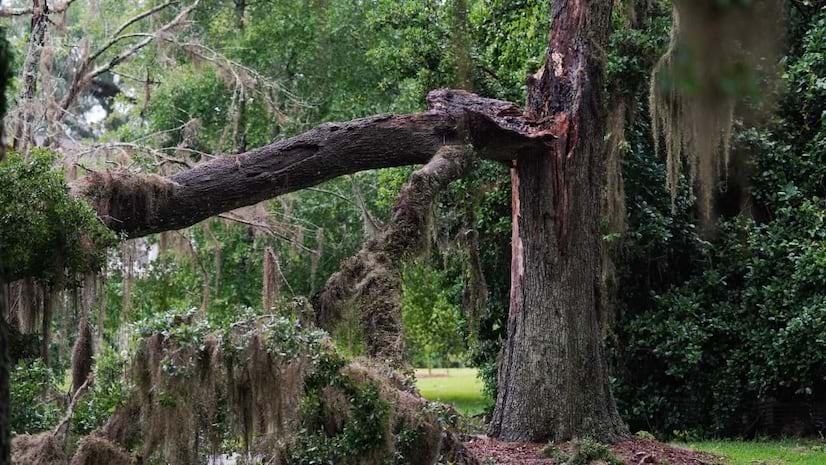
The GIS team in Leon County, Florida, used AI and GIS to develop a new method to expedite tree restoration following natural disasters.
Now, the public and emergency responders have instant access to more than 1,150 high-definition natural hazard monitoring cameras.
A devastating storm struck Douglas County in April 2024. Learn how GIS helped the county respond to and recover from the disaster.
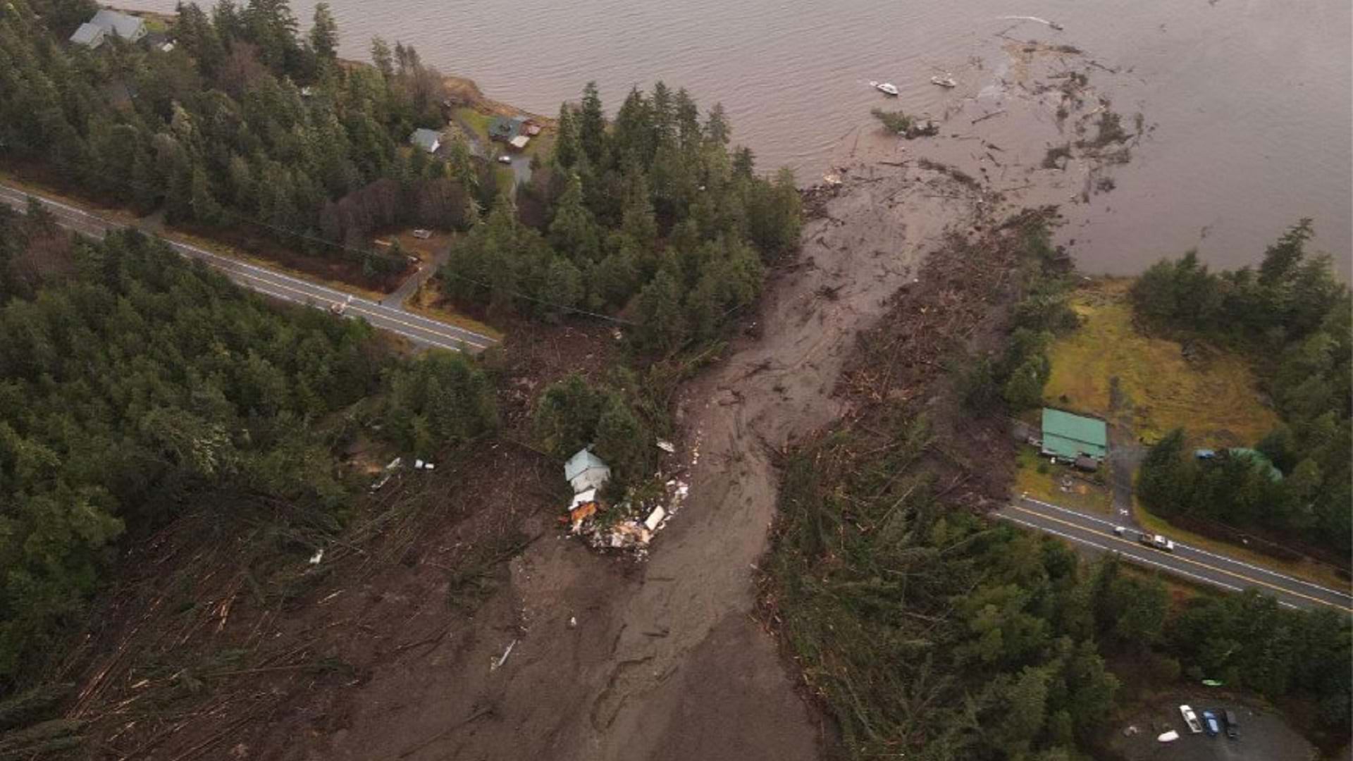
After a deadly landslide, the Alaska Department of Transportation used GIS and drone mapping to evaluate the damage and kickstart recovery.
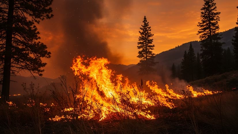
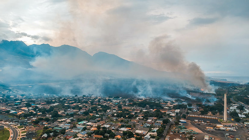
Explore how Esri helps organizations approach challenges in wildland fire response, including communication and evacuation.
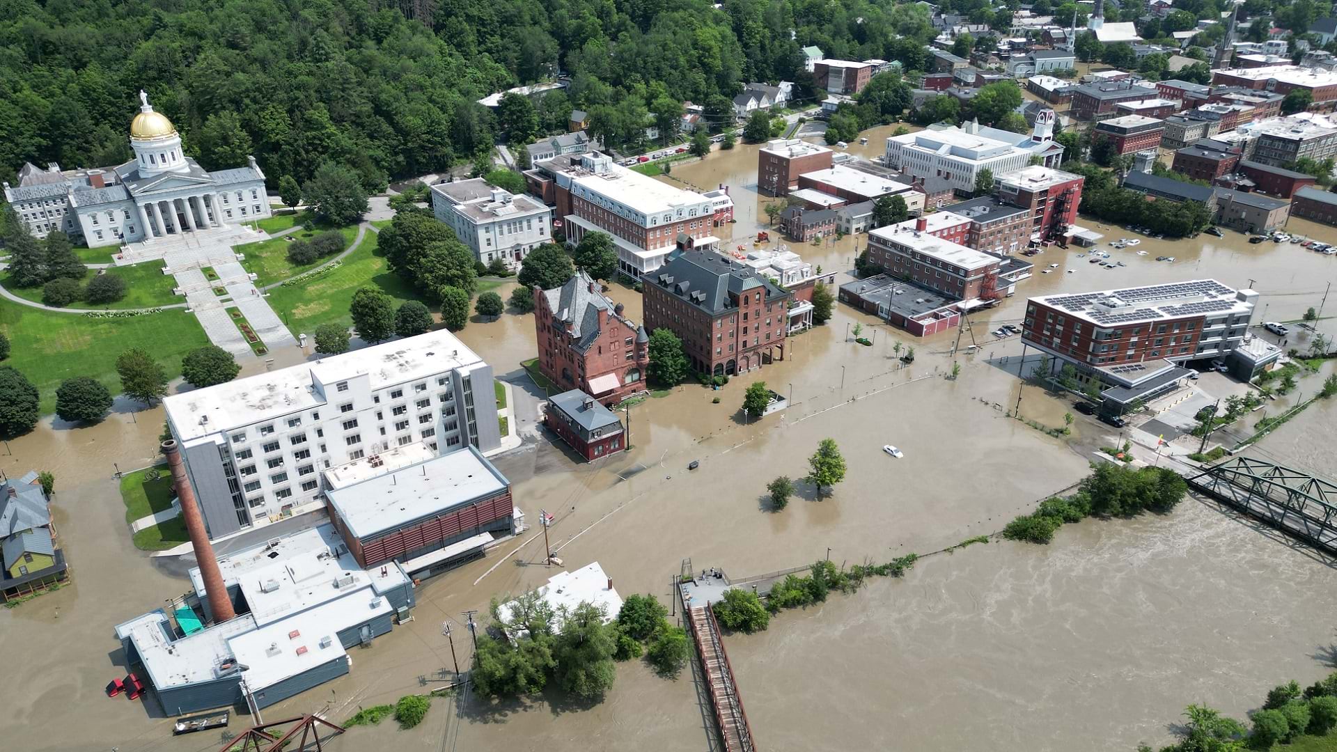
After flooding in Vermont, residents were able to get rapid relief thanks to GIS-based disaster response.