December 15, 2022 | Multiple Authors |
November 28, 2023
Firefighters are starting to see urban neighborhoods as overgrown forests. If homes are close together, made of wood, and surrounded by mature vegetation, there’s a need for mitigation work. Homeowners are creating defensible space—a buffer that acts as a barrier to slow the progress of fire. Both are guided by maps made with geographic information system (GIS) technology.
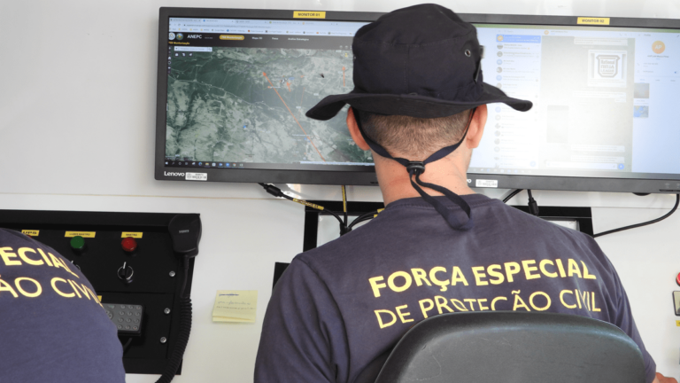
GIS-powered maps help fire departments model risks to create wildfire protection plans, inspect homes, and pinpoint places to reduce vulnerability. The same type of maps guide homeowners to trim trees, remove wood chips, or add screens on chimneys and vents to halt embers from entering. In this way, firefighters and community members come together to harden assets, protecting property from worsening conditions.
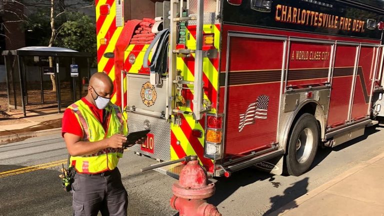
The growing number of urban conflagrations has also brought emergency managers, firefighters, and wildland firefighters closer together. These civil servants have a history of collaboration, but with the escalation in fire-related tragedies there’s a need for more coordination.
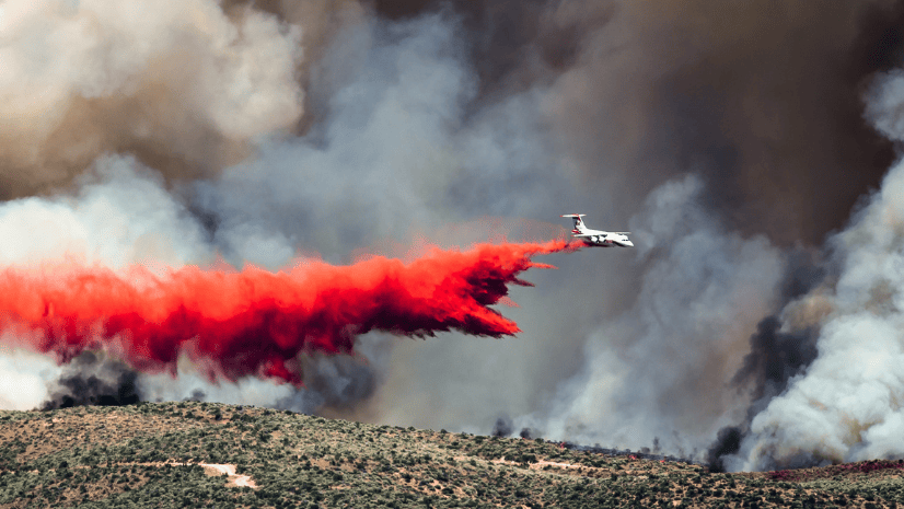
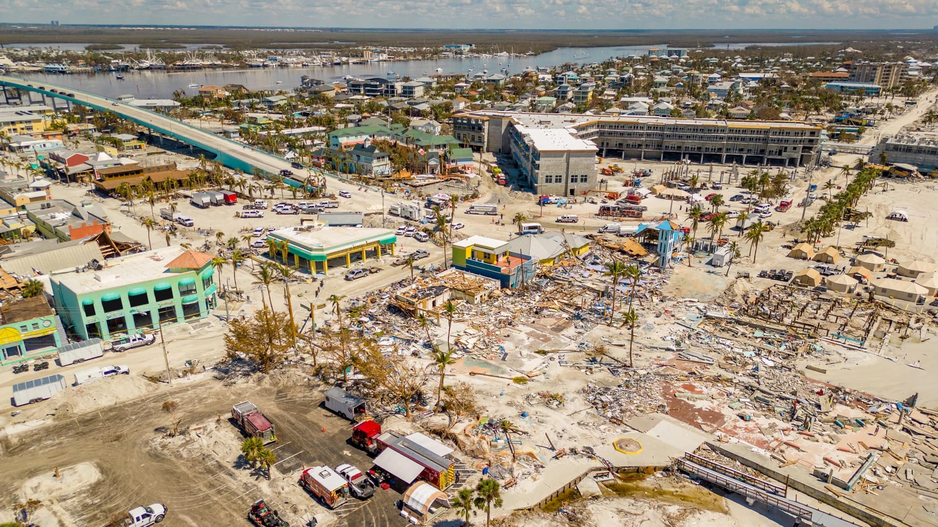
Fast-moving fires once considered unusual, now sweep through a growing number of communities: the Santa Rosa and Paradise fires in Northern California, the Marshall Fire in Colorado, Lytton in British Columbia, and Lahaina in Hawaii—the deadliest American wildfire in more than a century.
Yet, tragic fires hold lessons. The “Great Fires” of Chicago and San Francisco proved catastrophic more than 100 years ago, leading to changes in building codes and firefighting methods.
Now, the distressing growth in urban conflagrations is evoking calls for further reforms. Structures within what’s known as the wildland-urban interface are at the greatest risk. Homeowners shoulder more burden, with insurance harder to obtain due to rates of property damages. Given warmer weather and more extreme weather events, devastating fires are more likely. The conditions aren’t something to ignore or hope will get better.
Places known to be vulnerable to wildfire have started to get more serious. Many leaders have proactively applied GIS technology for a holistic approach to climate resilience. They make community-wide plans to drive on-the-ground actions. They look to forecasts to mitigate future hazards. They conduct traffic studies to improve evacuation routes and inform roadway re-engineering.
A recent report from the federal Wildland Fire Mitigation and Management Commission recognizes that, “mapping and analytical tools, which enable the geospatial identification of wildfire hazard or risk, are foundations for locally relevant, well-informed decision-making.” The Commission recommended a number of measures to better coordinate, integrate, and strategically align fire-related science, data, and technology. The report also suggests new performance standards for wildfire response, brings up the need for wildland fire efforts to align closer to emergency management, and calls for better federal coordination and support for local communities.
The federal government has provided preparedness funds that include the US Department of Housing and Urban Development’s Strong Cities, Strong Communities program and the US Forest Service’s Community Wildfire Defense Grants. A report from Brookings suggests federal funds should do more to enhance local capacity.
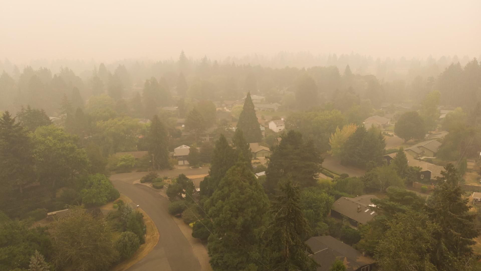
With increasing pressures from climate hazards, all communities must prepare, and many require technical assistance. Wildfires are now threatening new areas and striking in all seasons. No community can afford to be complacent.
Major cities are using modern management information systems such as GIS technology to prepare and plan, coordinate actions, check progress, and communicate conditions. States have been mandated by the Federal Emergency Management Agency to address social vulnerability alongside climate predictions. GIS solutions help even the smallest communities prioritize efforts.
Continuing innovations in remote sensing, modeling, and real-time decision support promise to enhance awareness of incidents and speed response. As in planning, modern tools enable more open sharing of data and coordination across jurisdictions.
The progress is in line with the need for more effective use and adoption of science, data, and technology for wildfire mitigation and management noted in the recent Wildland Fire Mitigation and Management Commission report. The report recognized that “much of the science and technology needed to help mitigate, manage, and recover from wildfire likely already exists.” What’s important now is stronger coordination and alignment between the cadres of fire and emergency management professionals and within and among communities.
Learn more about the tools firefighters use to better understand and suppress wildland fire, how GIS provides real-time solutions to enhance emergency management operations, and how communities reduce fire risk with GIS.


December 15, 2022 | Multiple Authors |

June 6, 2023 |
December 13, 2022 | Multiple Authors |