displaying 998 results
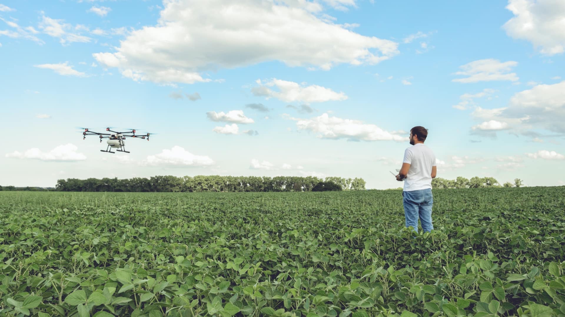
Precision agriculture harnesses location technologies to guide farmers to apply inputs where and when they are needed.
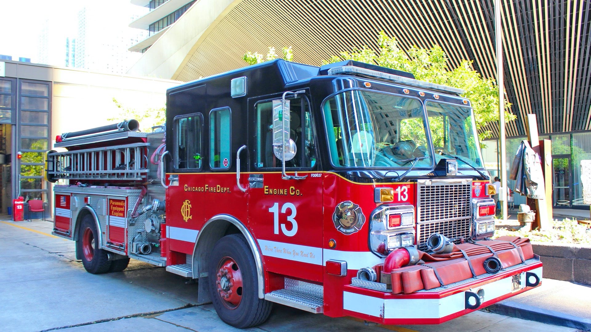
International Association of Fire Chiefs used location-based tools to compile and present details about the impacts of COVID-19 on its members.
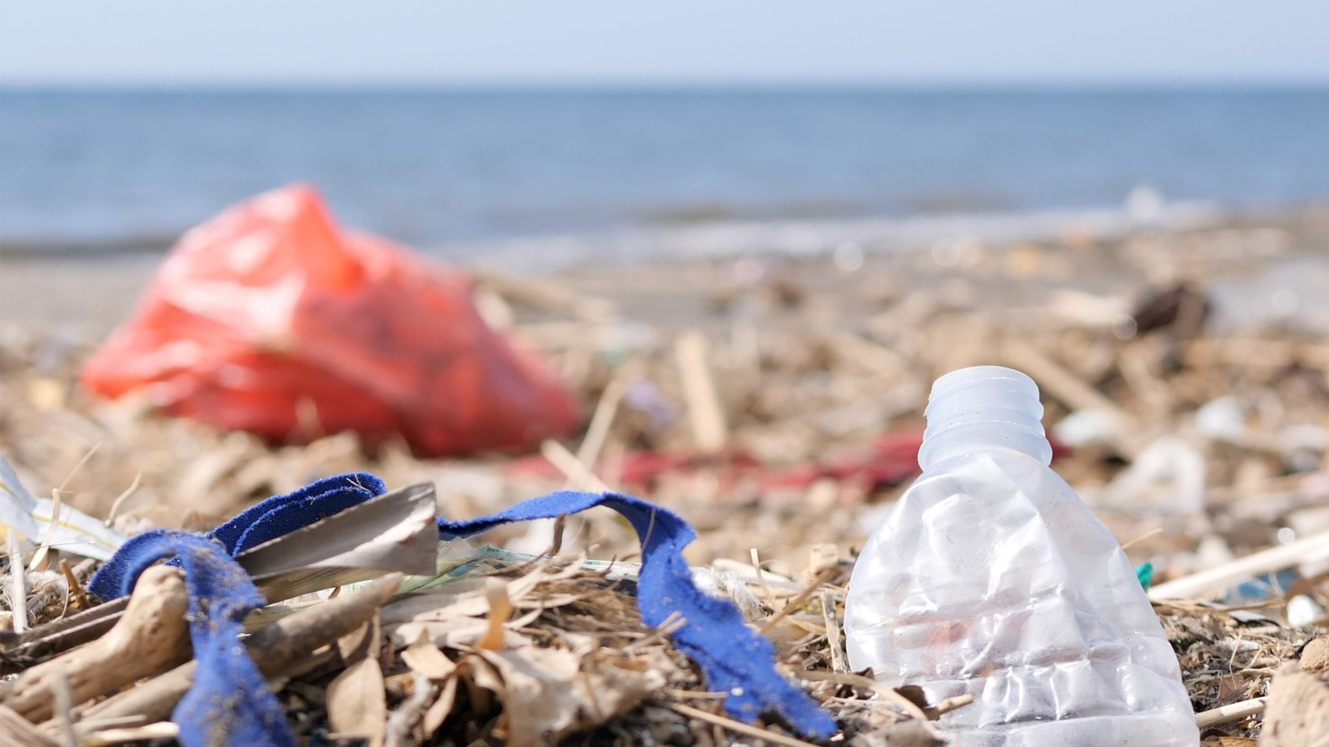
Earth Challenge 2020 involves map-based citizen science apps to collect key metrics for the fiftieth anniversary of Earth Day.

The San Juan County Sheriff's Office created an easy-to-use, map-based app to address outstanding felony warrants.
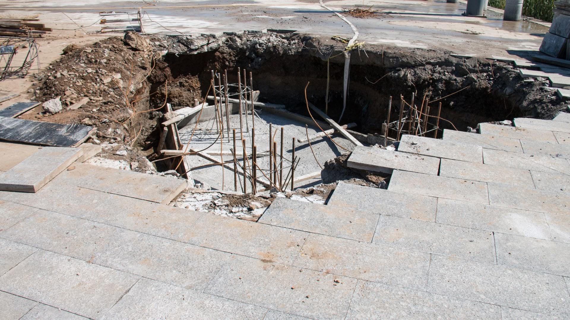
Karst geology and infrastructure failure can cause sinkholes. Sensors and mobile apps can help mitigate these problems before they surface.
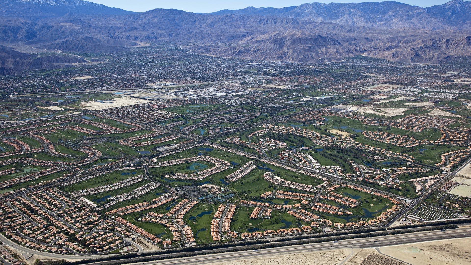
Coachella Valley Water District uses GIS to manage its precious aquifer that makes agriculture and cities possible in the desert.

The Jane Goodall Institute makes use of geospatial technology to increase the scale and pace of conservation impact.
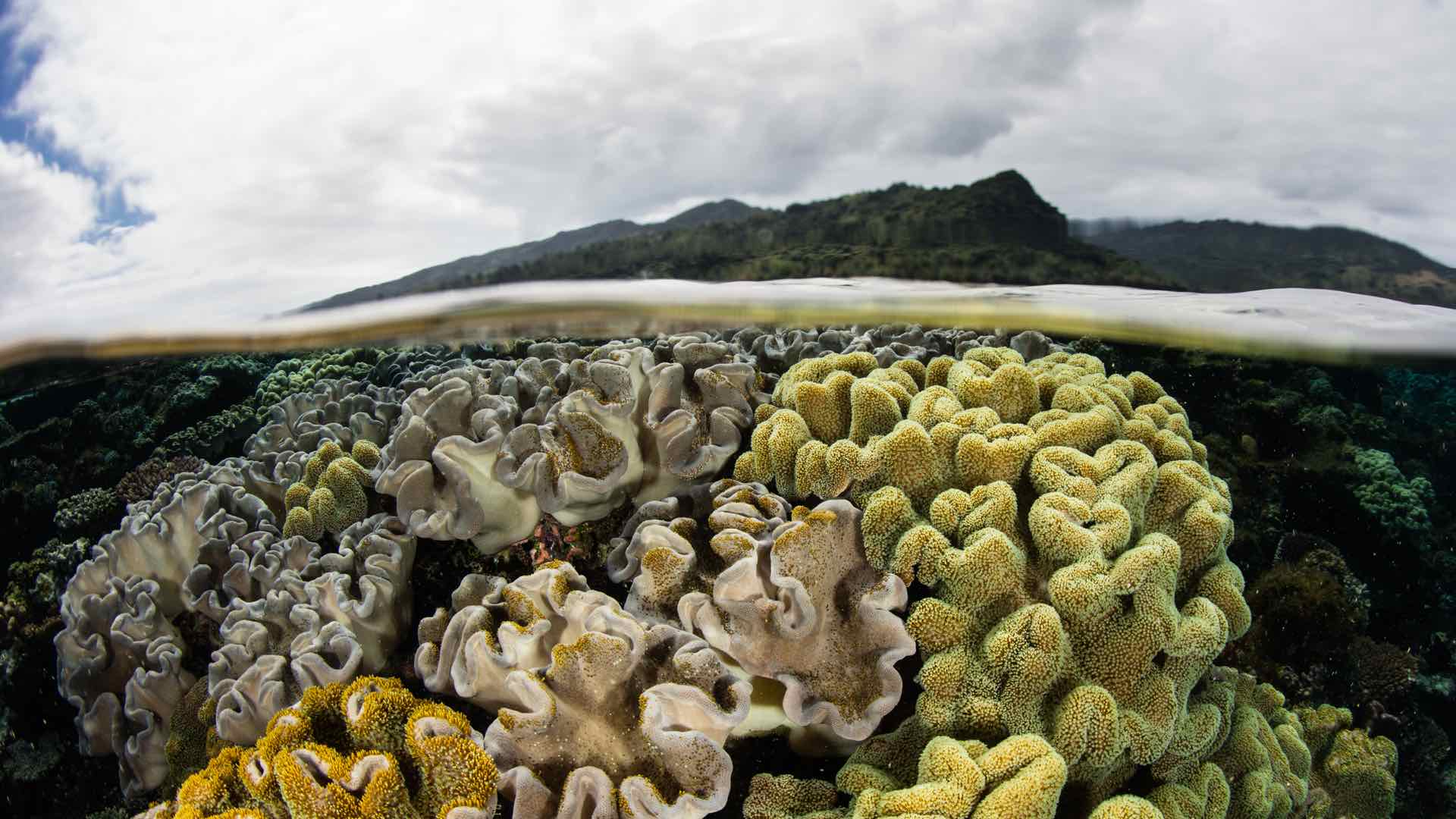
Fiji uses GIS and remote sensing to understand and predict climate change in order to reduce the impact to its people and economy.
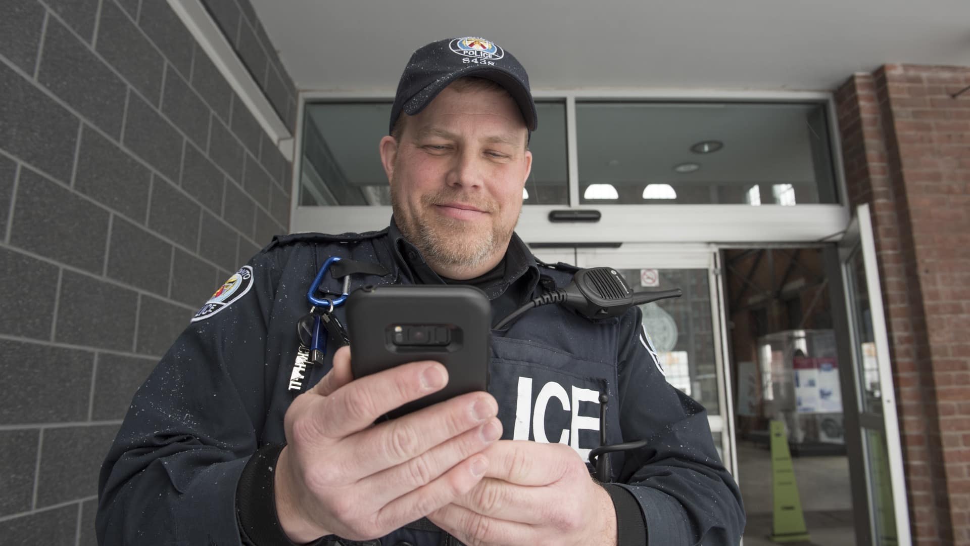
Mapping apps deliver targeted information to police officers in the field that improve their community connections.
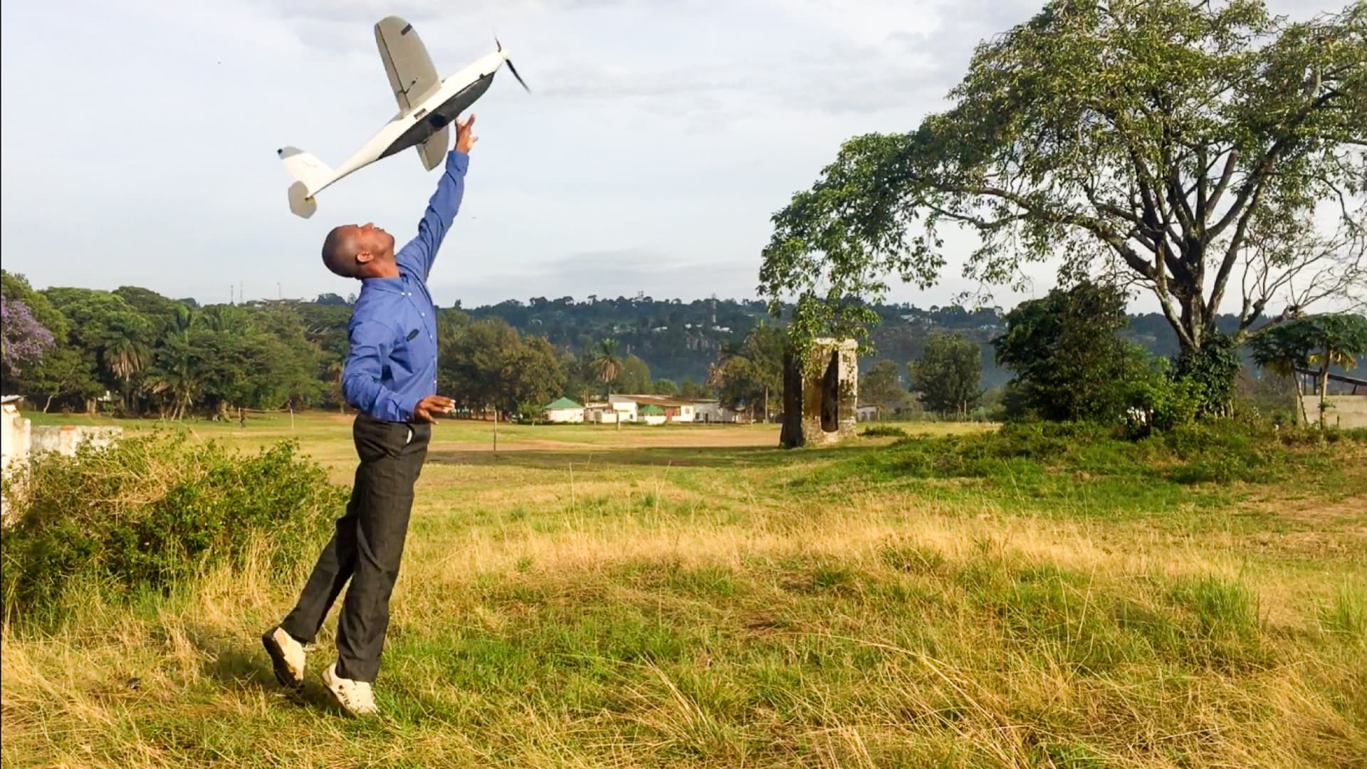
WeRobotics pioneers drone use and spatial analysis for social good in remote regions.